   |
Vital Statistics:
| Length: | 5½mls (9km) |
| Ascent: | 738ft (225m) |
| Time: | 2¾hrs |
| Grade: |  |
Route outline for walk ha104:
Selborne - The Hangers Way - High Common - High Wood Hanger - Noar Hill - Noar Hill Hanger - Bridleway Wood - Selborne Common - Coneycroft Hill - Selborne
Points of Interest/Notes on this walk:
'Hanger' is the local name for a steep sided wooded valley.
National Trails & Long Paths included on this walk:
Part of this walk follows a section of The Hangers Way, a 34km (21 miles) linear footpath connecting Alton in Hampshire, England with Queen Elizabeth Country Park, Petersfield in Hampshire, England. The Hangers Way is waymarked by a tree on a hill motif. For more walks that include a section of this trail see The Hangers Way.
You can find this walk and other nearby walks on these unique free-to-access Interactive Walk Planning Maps:
1:25,000 scale OS Explorer Map (orange/yellow covers):
An Interactive Walk Planning Map for OS Explorer OL32 Winchester is not currently available
1:50,000 scale OS Landranger Map (pink/magenta covers):
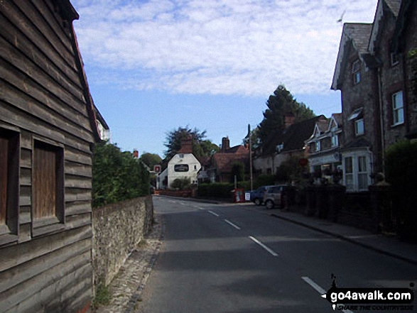
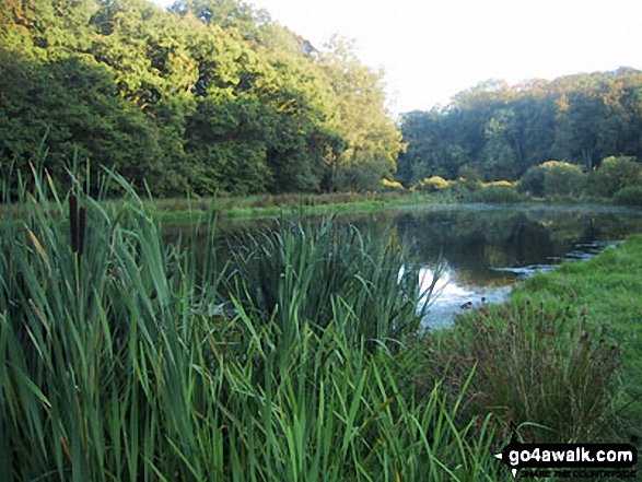
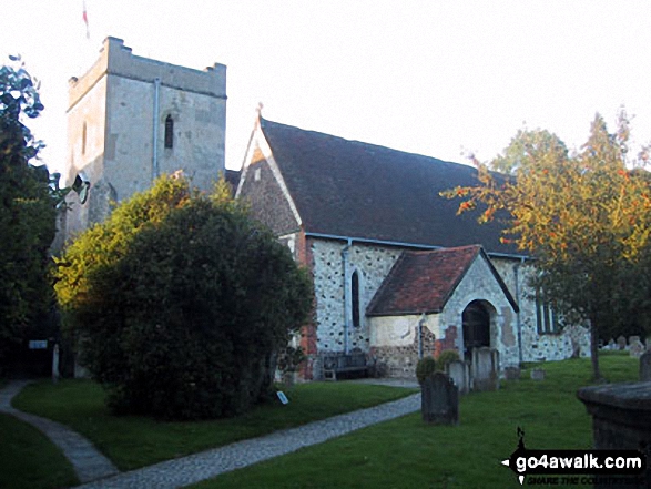
Some Photos and Pictures from Walk ha104 Noar Hil and Selborne Common from Selborne
In no particular order . . .

Send us your photographs and pictures from your walks and hikes
We would love to see your photographs and pictures from walk ha104 Noar Hil and Selborne Common from Selborne. Send them in to us as email attachments (configured for any computer) along with your name and where the picture was taken to:
and we shall do our best to publish them.
(Guide Resolution = 300dpi. At least = 660 pixels (wide) x 440 pixels (high).)

You can also submit photos from walk ha104 Noar Hil and Selborne Common from Selborne via our Facebook Page.
NB. Please indicate where each photo was taken.


