21 walks in East Anglia
Interactive Map of Walks in East Anglia
![]() How to Load this interactive map: Due to usage restrictions, you must be Registered and Logged-On to go4awalk.com to view and use the interactive Google Map below. You do not need to purchase any credits, but you must be Registered and Logged-On.
How to Load this interactive map: Due to usage restrictions, you must be Registered and Logged-On to go4awalk.com to view and use the interactive Google Map below. You do not need to purchase any credits, but you must be Registered and Logged-On.

You can use these checkboxes to show only the grades of walk you are interested in:-
Twenty-one easy-to-follow, circular, walk route maps in East Anglia in Walk Start Location Order (A to Z)
See this list of walks, routes & maps in:
Grade Order | Length Order | Time Order | Walk Number or Start Location Order
NB. To reverse (toggle) this order, click Start Order again
Scroll down the list of walks below & click on each walk title (in blue) to locate it on the map above.
   |
Vital Statistics:
| Length: | 9 miles (14.5 km) |
| Ascent: | 125 ft (38 m) |
| Time: | 3½ hrs |
| Grade: |  |

Route Summary:
Burgh Castle - Burgh Castle Roman Fort - The Angles Way - Breydon Water - Burgh Castle Marshes - Breydon Water Pump House - Fisher's Marshes - Humberstone Marshes - Breydon Bridge - Cobholm Island - Great Yarmouth - Southtown - Ganton Marshes - Bradwell Hall - Burgh Castle
|
Vital Statistics:
| Length: | 7.5 miles (12 km) |
| Ascent: | 252 ft (77 m) |
| Time: | 3 hrs |
| Grade: | |
Route Summary:
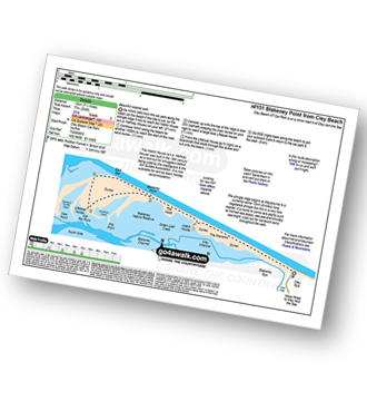
Cley Beach Car Park - The Marrams - Watch House (Halfway House) - The Hood - Blakeney Point - Lifeboat House - East Bar - Blakeney Point - The Hood - Watch House (Halfway House) - The Marrams - Cley Beach Car Park
|
Vital Statistics:
| Length: | 5.5 miles (9 km) |
| Ascent: | 118 ft (36 m) |
| Time: | 2 hrs |
| Grade: |  |

Route Summary:
Eastbridge - Sandpytle Plantation - The Sluice - Minsmere Nature Reserve - Coastguard Cottages - Dunwich Heath - Eastbridge
|
Vital Statistics:
| Length: | 6 miles (9.5 km) |
| Ascent: | 322 ft (98 m) |
| Time: | 2½ hrs |
| Grade: | |
Route Summary:
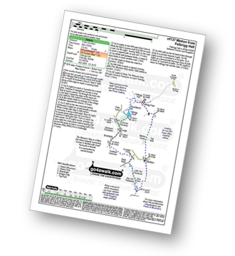
Felbrigg Hall - Felbrigg Park - Felbrigg Park Church - The Belt - Metton Carrs - Metton - The Weavers Way - Glen Farm Big Fen Plantation - Little Fen Plantation - Sustead Common - Brickfields - Allotment Plantation - Common Plantation - Felbrigg Pond - Roundwood Hill - Fellbrigg Hall.
|
Vital Statistics:
| Length: | 6.5 miles (10 km) |
| Ascent: | 82 ft (25 m) |
| Time: | 2½ hrs |
| Grade: | |

Route Summary:
Fulbourn - Harcamlow Way - Cole's Bridge - New Cut Drain - Hawk Mill Farm - Little Wilbraham - Great Wilbraham - Fleam Dyke - Fulbourn
|
Vital Statistics:
| Length: | 7 miles (11 km) |
| Ascent: | 141 ft (43 m) |
| Time: | 3 hrs |
| Grade: | |

Route Summary:
Haddiscoe - Thorpe Road - Thorpe Hall - Haddiscoe Marshes - Thorpe Marshes - Thorpe and Haddiscoe Fleet - Haddiscoe Cut Bridge - Willow Farm - Marsh Farm - Lower Thurlton - Haddiscoe
|
Vital Statistics:
| Length: | 9.25 miles (14.5 km) |
| Ascent: | 229 ft (70 m) |
| Time: | 3½ hrs |
| Grade: | |
Route Summary:
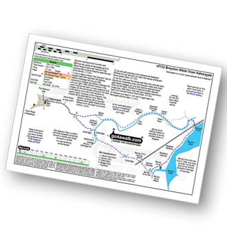
Halvergate - The Weavers Way - Wickhampton Marshes - Berney Arms Railway Station - Berney Arms Mill - Berney Arms Reach - Breydon Water - Reedham Marshes - Beighton Marshes - Breydon Pump - The Fleet - Halvergate
|
Vital Statistics:
| Length: | 3.5 miles (5.5 km) |
| Ascent: | 91 ft (28 m) |
| Time: | 1½ hrs |
| Grade: | |
Route Summary:
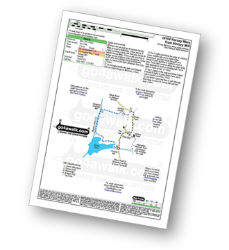
Horsey Mill - Horsey Mere - Waxham New Cut - Brograve Drainage Mill - Horsey Corner - Horsey church - Horsey - National Trust Permissive Path - Horsey Mill
|
Vital Statistics:
| Length: | 4.5 miles (7 km) |
| Ascent: | 295 ft (90 m) |
| Time: | 2 hrs |
| Grade: | |

Route Summary:
Little Gransden - Waresley - Waresley Wood - Waresley Dean Brook - Gransden Wood - Squirrels' Grove - Gransden Park - Great Gransden - Home Dole Brook - Little Gransden
|
Vital Statistics:
| Length: | 5.25 miles (8.5 km) |
| Ascent: | 43 ft (13 m) |
| Time: | 2 hrs |
| Grade: | |
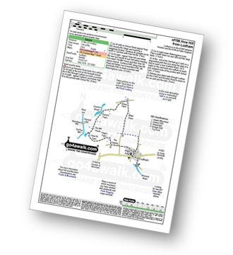
Route Summary:
Ludham - Lovers Lane - Whitegates - How Hill National Nature Reserve - River Ant - Turf Fen Drainage Mill - Boardman's Drainage Mill - Clayrack Drainage Mill - The Mill House - Crome's Farm - Crome's Broad - Grove Farm - Waterpiece Lane - Catfield Road - Ludham
|
Vital Statistics:
| Length: | 3.5 miles (5.5 km) |
| Ascent: | 98 ft (30 m) |
| Time: | 1½ hrs |
| Grade: | |
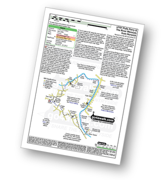
Route Summary:
- Norwich (The Forum) - The River Wensum - Fye Bridge - Cow Tower - Bishop's Bridge - Pulls Ferry - The Compleat Angler - Foundry Bridge - Millennium Bridge - Lady Julian Bridge - Carrow Bridge - The Devil's Tower (Eastern Boom Tower) - King Street - Wensum Lodge (a.k.a. The Music House) - Dragon Hall - St Peter of Parmentergate church - St Julian's Church - Novi Sad Friendship Bridge - Timber Hills - The Gardeners Arms (a.k.a. The Murderers) - The Lamb - St Peter Mancroft Church - The Guildhall - Norwich (The Forum)
|
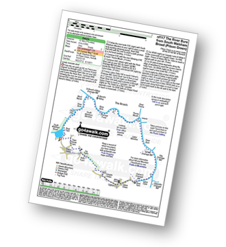
Vital Statistics:
| Length: | 12.5 miles (20 km) |
| Ascent: | 347 ft (106 m) |
| Time: | 4.75 hrs |
| Grade: |  |

Route Summary:
Reedham - Reedham Chain Ferry - Wherryman's Way - Reedham Drainage Mill - River Yare - Reedham Marshes - Seven Mile House - Polkey's Drainage Mill - Cadge's Drainage Mill - Berney Arms Reach - Berney Arms Mill - The Weavers Way - Berney Marshes - Berney Arms Railway Station - Stone's Drainage Mill - Wickhampton Marshes - Wickhampton - Halvergate Road - Reedham Parish Church - Damgate - Holly Farm Road - Reedham
|
Vital Statistics:
| Length: | 5.5 miles (9 km) |
| Ascent: | 670 ft (204 m) |
| Time: | 2.75 hrs |
| Grade: | |
Route Summary:
Sheringham - The Peddars Way and Norfolk Coast Path - Life Boat Station - Golf Course - Coast Watch Lookout Station - Sheringham Park - Oak Wood - Gazebo View Point - Sheringham Wood - Sheringham Temple - Hall Farm - Upper Sheringham - Sheringham
|
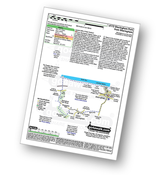
Vital Statistics:
| Length: | 7.25 miles (11.5 km) |
| Ascent: | 197 ft (60 m) |
| Time: | 3 hrs |
| Grade: | |

Route Summary:
Somerleyton - The Angles Way - Somerleyton Park - Lound - Green Lane - Waddling Lane - The Angles Way - Wicker Well - Waddling Wood - Somerleyton Railway Station - Somerleyton
|
Vital Statistics:
| Length: | 7.75 miles (12.5 km) |
| Ascent: | 135 ft (41 m) |
| Time: | 3 hrs |
| Grade: | |
Route Summary:
South Walsham Broad - Fleet Dike - Ward Marsh - St Benet's Abbey - River Bure - South Walsham Marshes - Thurne Mouth - Upton Marshes - Upton Black Drainage Mill - Ashby Oby Drainage & sawmill - Clippesby Mill - Upton Dyke - Palmer's Mill - Upton - Duckboards in Upton Broad and Marshes Nature Reserve - Cargate Green - Pilson Green - South Walsham Broad
|
Vital Statistics:
| Length: | 9 miles (14.5 km) |
| Ascent: | 256 ft (78 m) |
| Time: | 3.75 hrs |
| Grade: | |
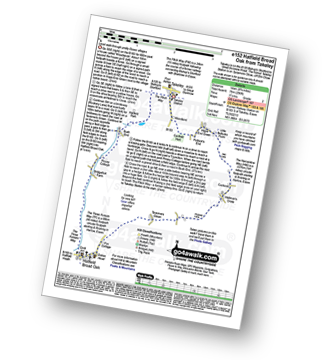
Route Summary:
Takeley - Hope End Green - Cow Common - Hellman's Cross - Taverners Green - Hatfield Broad Oak - Three Forests Way - Pincy Brook - Bush End - Harcamlow Way - The Flitch Way - Takeley
|
Vital Statistics:
| Length: | 7 miles (11 km) |
| Ascent: | 650 ft (198 m) |
| Time: | 3.25 hrs |
| Grade: | |
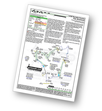
Route Summary:
Thorndon Country Park North - Thorndon Park - Thorndon Hall - Ingrave - Herongate - Thorndon Country Park South - Old Hall Pond - Pigeon Mount - Jury Hill - Childerditch Pond - Scrub Hill - Countryside Centre - Thorndon Country Park North
|
Vital Statistics:
| Length: | 4.5 miles (7 km) |
| Ascent: | 207 ft (63 m) |
| Time: | 2 hrs |
| Grade: | |

Route Summary:
Wherstead - Wherstead Hall - Suffolk Food Hall - Redgate Farm - Freston Brook - The Stour and Orwell Walk - Freston Wood - Freston - Bond Hall Farm - Broom Knoll - Cutler's Wood - Stalls Valley - Valley Farm - Park Farm - Wherstead
|
Vital Statistics:
| Length: | 9 miles (14.5 km) |
| Ascent: | 151 ft (46 m) |
| Time: | 3½ hrs |
| Grade: | |

Route Summary:
Winterton-on-Sea - Winterton Dunes National Nature Reserve - South Wood - Bramble Hill - Crinkle Hill - Horsey - Horsey Mill - Hundred Stream - Martham Broad National Nature Reserve - Martham Broad - West Somerton Mill - West Somerton - East Somerton - Winterton-on-Sea
|
Vital Statistics:
| Length: | 6 miles (9.5 km) |
| Ascent: | 128 ft (39 m) |
| Time: | 2½ hrs |
| Grade: | |

Route Summary:
Winterton-on-Sea - Winterton Dunes National Nature Reserve - South Wood - Decay Wood - White House Farm - East Somerton - Winterton-on-Sea
|
Vital Statistics:
| Length: | 4.25 miles (6.5 km) |
| Ascent: | 157 ft (2,348 m) |
| Time: | 1.75 hrs |
| Grade: | |

Route Summary:
Worstead - Worstead Belt - Worstead Hall Farm - Chestnut Belt - Gothic Wood - Upper Street - Carman's Lane - Mucklefield Plantation - Dairyhouse Barn - Green Lane - Berard's Road - Worstead
See this list of walks, routes & maps in:
Grade Order | Length Order | Time Order | Walk Number or Start Location Order
NB. To reverse (toggle) this order, click Start Order again


