Mountain (Hewitt) & Nuttall Icon

Swarth Fell
681m (2235ft)

The Northern Dales Area, The Yorkshire Dales, Cumbria, England


Tap/mouse over a coloured circle (1-3 easy walks, 4-6 moderate walks, 7-9 hard walks) and click to select.


Record Swarth Fell as Bagged, Climbed & Conquered


English Mountain Icon

English Mountain
114th highest in England,
194th in England & Wales

English Nuttall Icon

English Nuttall
152nd highest in England,
257th in England & Wales

Walk Swarth Fell walking UK Mountains in The Northern Dales Area The Yorkshire Dales National Park Cumbria, England

Swarth Fell Summit

Photo: Mark Kissipie

You can find Swarth Fell & all the walks that climb it on these unique free-to-access Interactive Walk Planning Maps: (click/TAP to select)

The Yorkshire Dales National Park


1:25,000 scale OS Explorer Map (the ones with orange/yellow covers):

OL19 Howgill Fells and Upper Eden Valley


1:50,000 scale OS Landranger Map (the ones with pink/magenta covers):

98 Wensleydale & Upper Wharfedale


See Swarth Fell and the surrounding tops on our free-to-access 'Google Style' Peak Bagging Maps:

See Swarth Fell and the surrounding tops on our downloadable PDF Peak Bagging Map:


You can walk to the top of Swarth Fell by using either of these 2 easy‑to‑follow route maps:
Walking Boot Print Icon

Walk c282 Wild Boar Fell from Cotegill Bridge

Fine Views from lonely hilltops

Walk GPS Icon
Walk GPX Icon
Walk PDF Icon

Vital Statistics:

Length: 6.25ml (10km)
Ascent:1,548ft (472m)
Time:3.75hrs
Grade:Walk Grade 5 Icon (Moderate)
Walking Boot Print Icon

Walk c323 Wild Boar Fell and Swarth Fell from Needle House Farm

Fine views of the Mallerstang Valley

Walk GPS Icon
Walk GPX Icon
Walk PDF Icon

Vital Statistics:

Length: 8.5ml (13.5km)
Ascent:1,864ft (568m)
Time:5 hrs
Grade:Walk Grade 6 Icon (Moderate)

Other walkers who hiked, climbed, bagged and summited Swarth Fell Fellow go4awalkers who have already walked, climbed, summited & bagged Swarth Fell

Angela Moroney walked up Swarth Fell on March 31st, 2021 [from/via/route] uldale house [with] Jane ludders [weather] sunny

Caroline Winter climbed Swarth Fell on August 9th, 2020 [from/via/route] The Thrang, PW bridle way to The Nab, Wild Boar Fell, Swarth Fell, Stubbings Rigg, Aisgill cottages, Hell Gill, High Way [with] Becky [weather] Warm with light Easterly wind - Began walkng the path along beck at Mallerstang, but third field, we were faced out by 5 testy bullucks at the stile, determined not to move, so we back tracked to road again & walked the tarmac to meet the PW. Pleasant walk up The Nab, & amused by WB trig in shelter, which offered no shelter from the wind. Swarth Fell easy to locate & then long walk back. We were quite spooked by the beefy Texal sheep coming down from The high way.

David Congreave bagged Swarth Fell on November 3rd, 2018 [from/via/route] Cotegill Bridge [with] Jonah [weather] Windy & wild.

Kevin Foster hiked Swarth Fell on August 24th, 2017 [from/via/route] Wild Boar Fell [with] Henry [weather] Cloudy - After the heavy rain on Wild Boar Fell & clouds obscuring most of the view my mood had definitely lifted by the time I'd passed the tarn in the col & begun the short climb beside the wall to the summit of Swarth Fell. The highest point was on a rocky plinth East of the wall & the sun even came out briefly as I stood taking photos & admiring the view mainly South & East towards Garsdale head & the upper Eden valley.

Mark Davidson summited Swarth Fell on January 4th, 2003 [with] Mike [weather] Lovely sunny winter day with lots of snow

Tony Rogerson conquered Swarth Fell on May 20th, 2016 [from/via/route] Cotegill Bridge The Nab Wild Boar Fell Swarth Fell Swarth Fell Pike [with] Darren Floss Robbie Ruby [weather] Low cloud wind & showers

Darren Wilson scaled Swarth Fell on May 16th, 2009 [from/via/route] Wild Boar Fell, Garsdale Head, Swarth Fell, Hellgill Force [with] Crabs

Darren Mortimer walked up Swarth Fell on November 2nd, 2014 [from/via/route] The Thrang [with] Dermot Palmer [weather] Windy & sunny

Christine Shepherd climbed Swarth Fell on May 19th, 2014 [from/via/route] Walked from Cotegill Bridge using walk c282 [with] On my own [weather] Sunny but very hazy & windy on the summit.

Ray O'hara bagged Swarth Fell on August 22nd, 2012 [from/via/route] C282 [weather] Overcast, summit lost in cloud by the time I got there - Altogether a very pleasant if rather short walk. Highly recommended.

To add (or remove) your name and experiences on this page - Log On and edit your Personal Mountain Bagging Record

. . . [see more walk reports]


More Photographs & Pictures of views from, on or of Swarth Fell

Swarth Fell and Wild Boar Fell from Mallerstang Edge

Swarth Fell and Wild Boar Fell from Mallerstang Edge

Photo: Robert Hall (56)

Swarth Fell from Aisgill Moor Cottages, Mallerstang Common

Swarth Fell from Aisgill Moor Cottages, Mallerstang Common

Photo: Robert Nicholls (13)

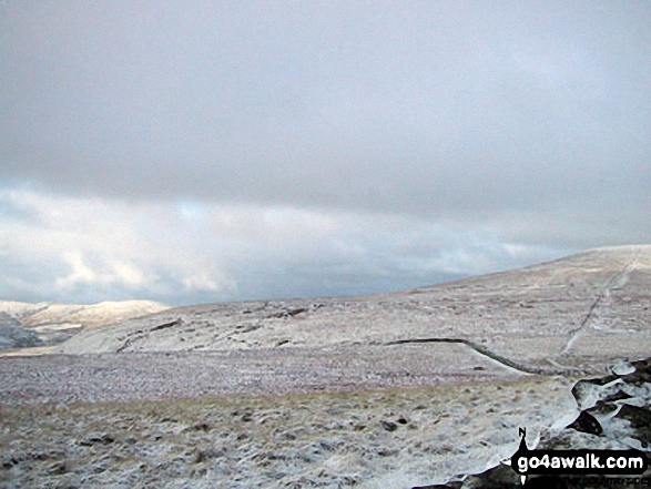
Wild Boar Fell, Mallerstang Common and Nine Standards Rigg from Swarth Fell in the snow

Wild Boar Fell, Mallerstang Common and Nine Standards Rigg from Swarth Fell in the snow

Photo: Robert Nicholls (11)

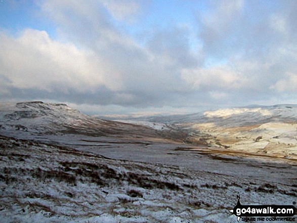
Wild Boar Fell from Swarth Fell in the snow

Wild Boar Fell from Swarth Fell in the snow

Photo: Robert Nicholls (10)

Mallerstang Edge, High Seat (Mallerstang), Archy Styrigg (Gregory Chapel), Hugh Seat, Little Fell (Lunds Fell) (Mallerstang) and Mallerstang Common from Swarth Fell in the snow

Mallerstang Edge, High Seat (Mallerstang), Archy Styrigg (Gregory Chapel), Hugh Seat, Little Fell (Lunds Fell) (Mallerstang) and Mallerstang Common from Swarth Fell in the snow

Photo: Robert Nicholls (12)

The Howgills from Swarth Fell in the snow

The Howgills from Swarth Fell in the snow

Photo: Robert Nicholls (9)

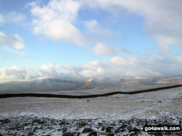
The Howgills (left) and Wild Boar Fell (right) from Swarth Fell in the snow

The Howgills (left) and Wild Boar Fell (right) from Swarth Fell in the snow

Photo: Robert Nicholls (8)


Send us your photographs and pictures on, of, or from Swarth Fell

If you would like to add your walk photographs and pictures featuring views from, on or of Swarth Fell to this page, please send them as email attachments (configured for any computer) along with your name to:


and we shall do our best to publish them.

(Guide Resolution = 300dpi. At least = 660pixels (wide) x 440 pixels (high).)

Send us your photographs and pictures on, of, or from Swarth Fell via Facebook

You can also submit photos via our Facebook Page.

NB. Please indicate where each photo was taken.


Follow go4awalk.com on Twitter Follow go4awalk.com on Facebook


Home


Find new Friends to go walking with

Walk all 214 Wainwrights in just 59 Walks. Download GPS Waypoints - Great Walks you must not miss!

Walk The Yorkshire Three Peaks Challenge Walk - All the Latest Route Information, GPS Waypoints and Split Times to keep you on Schedule

Walk The British Three Peaks Challenge Walk - All the Latest Route Information and GPS Waypoints

See our pick of The Best Walks in The Lake District - Great Walks you must not miss!

Walk our pick of the Best Lake District Ridge Walks - Great Walks you must not miss!

Walk our pick of the Best Lake District Walks to do in the rain - Great Walks you must not miss!

Walk our pick of The Best Walks in Snowdonia - Great Walks you must not miss!

Walk our pick of The Best Ridge Walks in Wales - Walks you must not miss!

Walk our pick of The Best Walks in The Brecon Beacons - Great Walks you must not miss!

Walk our pick of The Best Walks in The Yorkshire Dales - Walks you must not miss!

Walk our pick of The Best Walks in The Peak District - Walks you must not miss!

Walk our pick of The Best Walks in The Forest of Bowland - Walks you must not miss!

Walk our pick of The Best Walks in Shropshire - Walks you must not miss!

Walk our pick of The Best Walks in Cheshire - Walks you must not miss!

Walk our pick of The Best Walks in Lancashire - Walks you must not miss!

Not sure where to walk next? Try Peak Bagging - Great Walks you must not miss!

Not sure where to walk next? Walk part of a National Trail - Great Walks you must not miss!

Walks with Downloadable and Uploadable GPS Waypoint Data

Walking Kit and Gear Tested by Walkers

Full Site Search