
![]()
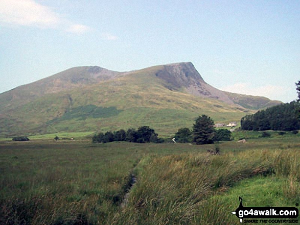
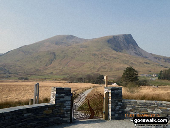
Moel Hebog
783m (2569ft)
The Moel Hebog Area, Snowdonia, Gwynedd, Wales
Moel Hebog means 'Bare Hill of the Hawk' in Welsh and is pronounced 'moy-el-heb-og'.
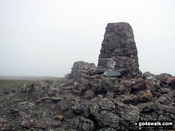
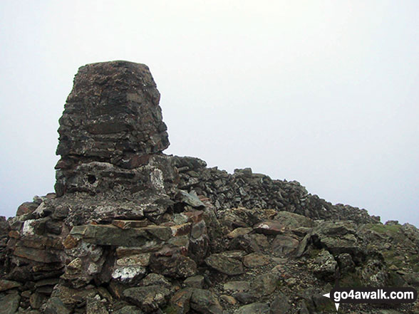
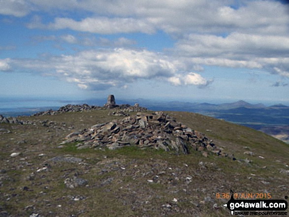
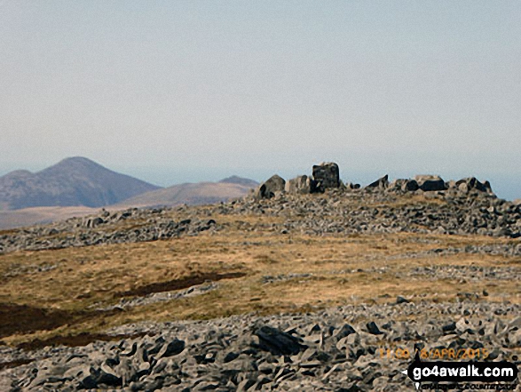
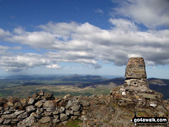
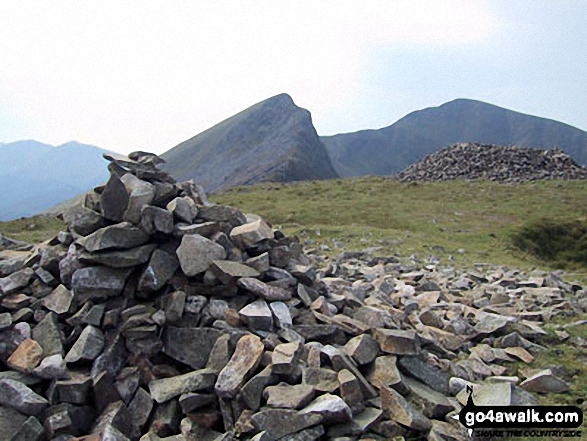
The summit of Moel Hebog is marked by an Ordnance Survey Trig Point.
Not familiar with this top?
   |
|---|
Vital Statistics:
| Length: | 7ml (11.5km) |
|---|---|
| Ascent: | 3,106ft (947m) |
| Time: | 5.75hrs |
| Grade: |  (Moderate) (Moderate) |

Route Summary:
Beddgelert - Welsh Mountain Railway - Moel Hebog - Bwlch Meillionen - Moel yr Ogof - Moel Lefn - Bwlch Sais - Craig Cwm-trwsgl - Bwlch Cwm-trwsgl - Coed Mawr - Beddgelert Forest Campsite - Beddgelert
See Moel Hebog and the surrounding tops on our free-to-access 'Google Style' Peak Bagging Maps:
The Moel Hebog area of Snowdonia National Park
Less data - quicker to download
The Whole of Snowdonia National Park
More data - might take a little longer to download
See Moel Hebog and the surrounding tops on our downloadable Peak Bagging Map in PDF format:

NB: Whether you print off a copy or download it to your phone, this PDF Peak Baggers' Map might prove incredibly useful when your are up there on the tops and you cannot get a phone signal.
You can find Moel Hebog & all the walks that climb it on these unique free-to-access Interactive Walk Planning Maps:
1:25,000 scale OS Explorer Map (orange/yellow covers):
1:50,000 scale OS Landranger Map (pink/magenta covers):
 Fellow go4awalkers who have already walked, climbed, summited & bagged Moel Hebog
Daniel Moran walked up Moel Hebog on December 29th, 2023 [from/via/route] From beddgelart campsite [with] Michelle Roberts Moran [weather] Cloudy - We walked from the campsite though the woods along the river path, up the shoulder & back through the forest road path Frankie was with us
Melfyn Parry climbed it on July 23rd, 2023 [from/via/route] Parked in the carpark just off the A4085 just before reaching the centre of Beddgelert on the Caernarfon Road. Crossed over the A4085 & took a path that crossed under & over the Welsh Highland Railway line 3 times before taking a well signposted path (Moel Hebog). The path is quite steep in parts & loose stone makes for hard going at times. We eventually reached the summit of Moel Hebog & then continued down the slope to Bwlch Meillion. The plan was to ascend Moel yr Ogof from here but the weather closed in & visibility was poor. So we descended along the side of the wall to reach the forest. The path through the trees followed the stream which was in full flow, parts of the path were quite boggy but we eventually reached the forest track that lead past Beudy Ysgubor & Parc Ty'n y Coed to rejoin the outward leg to return to the carpark. [with] With 10 members of PRC, which dropped to 2 because of the weather [weather] Started off okay but rain soon developed which was quite heavy at times. Sun came out for final half hour of the route. - Aiming to return to this area soon to do this peak again together with the other 2 Nuttalls.
Adrian Haywood bagged it on October 9th, 2022 [from/via/route] From Beddgelert [with] Mike, Celia and Rob [weather] mixed
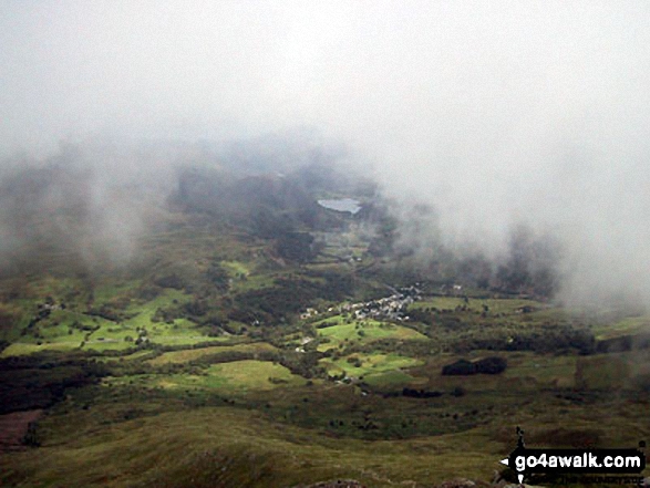
Robert Shaw hiked Moel Hebog on April 7th, 2018 [from/via/route] On sports club walk in the mist [with] usual crew [weather] Wet & misty
Mark Davidson summited on July 24th, 2003 [from/via/route] Walk gw192 Moel Hebog from Beddgelert [with] Alone [weather] Bit cloudy, misty on the top. Huge rain storm on the way back to the car. Got soaked.
To add (or remove) your name and experiences on this page - Log On and edit your Personal Mountain Bagging Record
. . . [see more walk reports]
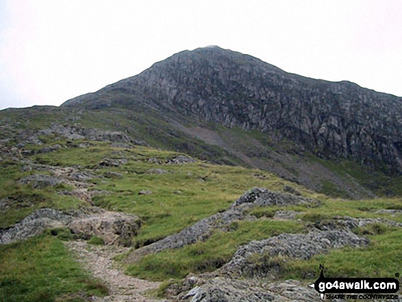
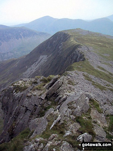
More Photographs & Pictures of views from, on or of Moel Hebog
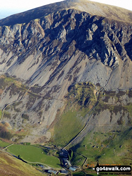
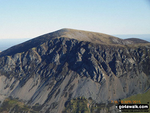
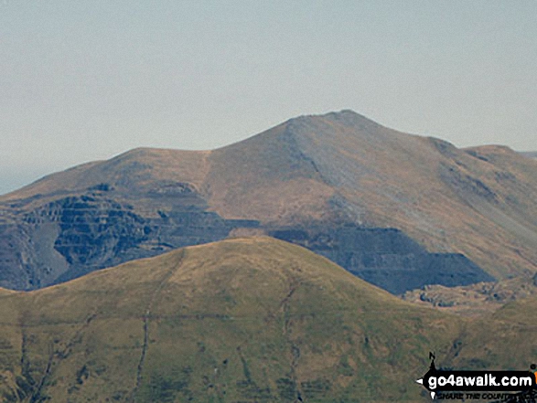
Craig y Bera and Mynydd Mawr (Llyn Cwellyn) tower above Drws-y-coed from Y Garn (Moel Hebog)
Llyn Nantlle Uchaf, Dyffryn Nantlle and the shoulder of Mynydd Mawr from Y Garn (Moel Hebog)
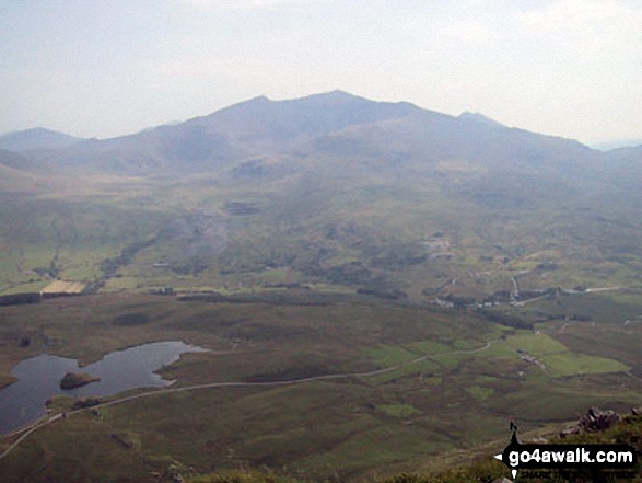
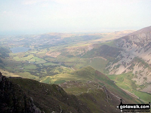
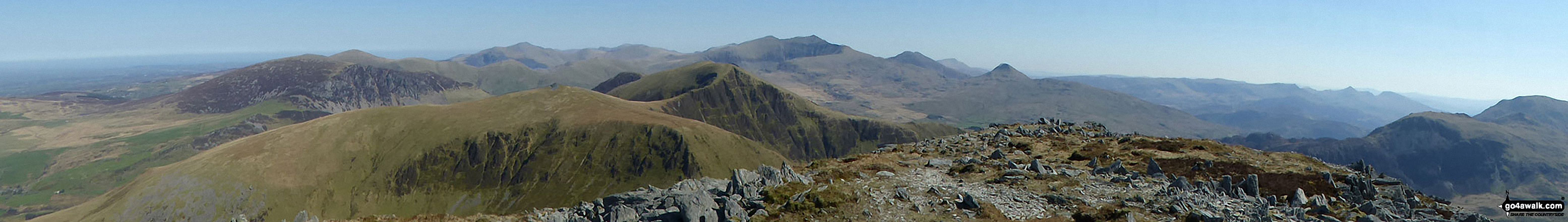
The Snowdon Massif - featuring Garnedd Ugain (Crib y Ddysgl), Snowdon (Yr Wyddfa), Bwlch Main, Llechog (Llanberis Path), Clogwyn Du and Y Lliwedd from Y Garn (Moel Hebog) with Llyn y Dywarchen and Rhyd Ddu in the valley below
The Nantle Ridge - Mynydd Tal-y-mignedd (front left), The Hiatus (front right), Trum y Ddysgl (right) and Y Garn (Moel Hebog) (centre) from the summit of Craig Cwm Silyn

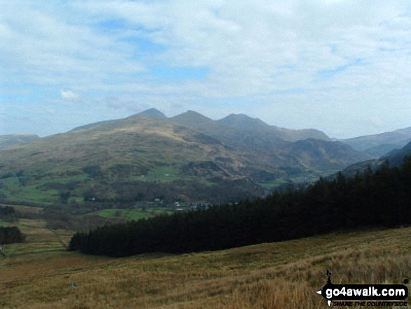
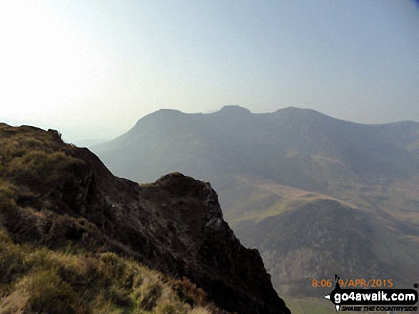
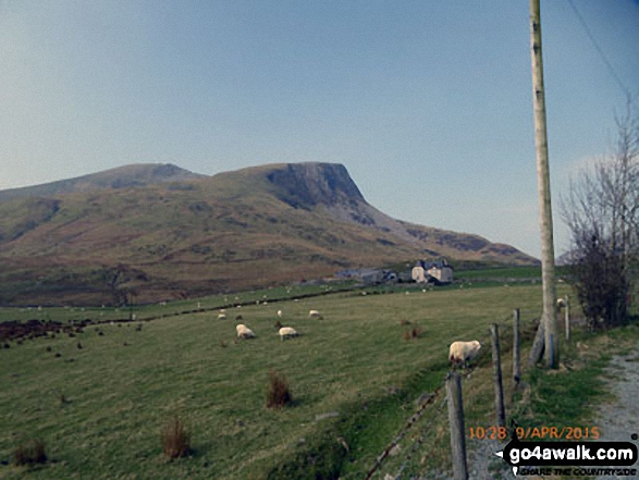
Moel Hebog, Moel Lefn and Moel yr Ogof from Trum y Ddysgl with Bwlch-y-Ddwy-elor bottom left

Mynydd Mawr (Llyn Cwellyn), Y Garn (Moel Hebog), The Nantlle Ridge and Mynydd Drws-y-coed from Trum y Ddysgl - with The Snowdon Massif (Moel Eilio (Llanberis), Foel Gron, Moel Cynghorion, Garnedd Ugain (Crib y Ddysgl), Snowdon (Yr Wyddfa), Y Lliwedd and Yr Aran) forming the backdrop

Mynydd Drws-y-coed (The Nantlle Ridge) and Trum y Ddysgl from Y Garn (Moel Hebog)
On the summit of Y Garn (Moel Hebog) with the Snowdon (Yr Wyddfa) group in the background

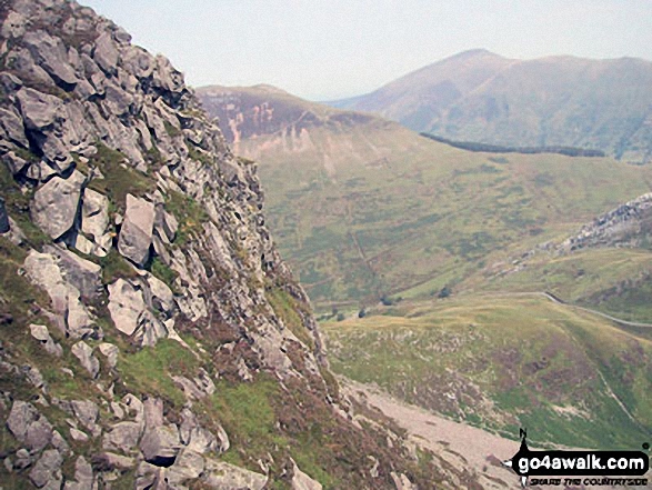
Croseor with The Moel Hebog mountains beyond from the summit of Craigysgafn

Llyn Nantlle Uchaf, Dyffryn Nantlle, Mynydd Mawr, Rhyd Ddu, Llyn y Dywarchen, The Snowdon Massif (Moel Eilio (Llanberis), Foel Gron, Moel Cynghorion, Garnedd Ugain (Crib y Ddysgl), Snowdon (Yr Wyddfa), Y Lliwedd and Yr Aran from Y Garn (Moel Hebog)

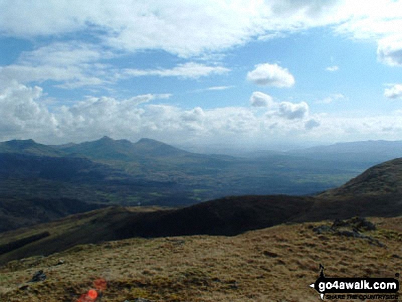
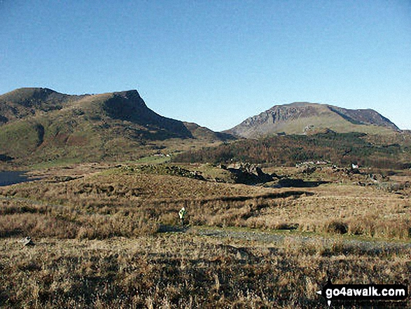
Moel Lefn (centre), Moel yr Ogof and Moel Hebog (right) from the summit of Craig Cwm Silyn

The Nantlle Ridge - Y Garn (Moel Hebog), Mynydd Drws-y-coed and Trum y Ddysgl from Craig y Bera on Mynydd Mawr (Llyn Cwellyn)
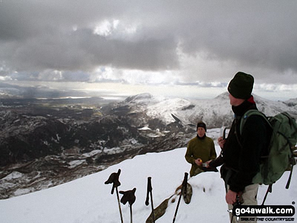
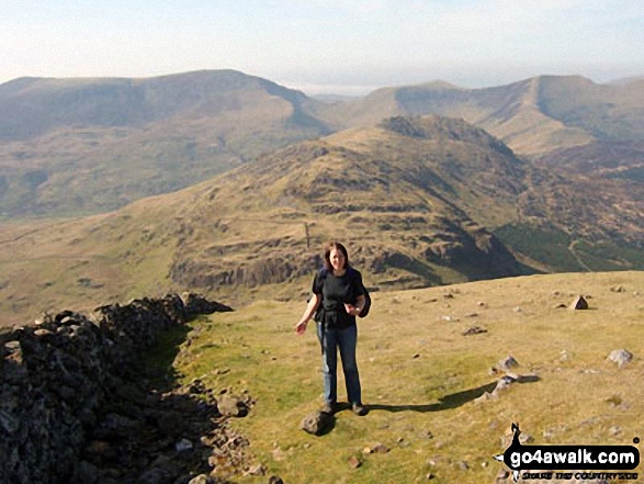
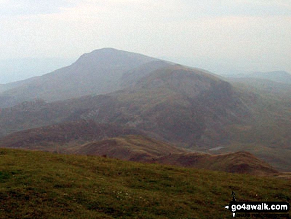
Friends on the summit of Yr Aran in the snow with Beddgelert below (left centre) and Moel Hebog on the horizon (right)

The Nantlle Ridge - Mynydd Drws-y-coed (left) and Trum y Ddysgl from a cairn on the slopes of Y Garn (Moel Hebog)
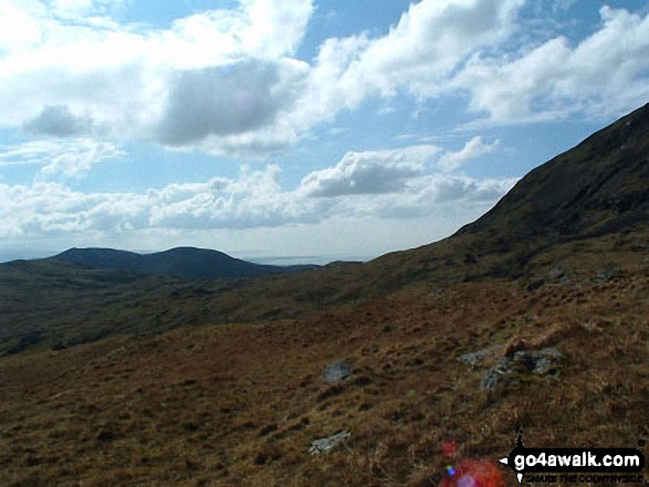
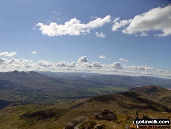
Look! Its me ;-) on Moel Hebog last April with Craig Cwm Silyn (left), Mynydd Tal-y-mignedd (centre right), Trum y Ddysgl (right) on the horizon and Moel Lefn and Moel yr Ogof in the mid-distance
Mynydd Drws y Coed (far left), Y Garn (Moel Hebog Area) (left) and Mynydd Mawr (Llyn Cwellyn) (right)
The summit of Craig Cwm Silyn with Moel Lefn, Moel yr Ogof & Moel Hebog in the background (far left)

Mynydd Mawr (Llyn Cwellyn) above Craig y Bera from Y Garn (Moel Hebog)
Mynydd Mawr (Llyn Celyn), Craig y Bera, Mynydd Tal-y-mignedd and Mynydd Drws-y-coed from the summit of Craig Cwm Silyn with Garnedd Ugain (Crib y Ddysgl), Snowdon (Yr Wyddfa), Y Lliwedd & Yr Aran on the horizon (centre) and Moel Lefn, Moel yr Ogof & Moel Hebog on the far left


Y Garn (Moel Hebog) from Trum y Ddysgl - with Foel Goch (left), Moel Cynghorion (right) and Elidir Fawr between
Moel Lefn (centre), Moel yr Ogof and Moel Hebog (right) from the summit of Craig Cwm Silyn
Mynydd Mawr (Llyn Cwellyn), Craig y Bera and Moel Eilio (Llanberis) from Y Garn (Moel Hebog)
Mynydd Drws-y-coed (left) and Y Garn (Moel Hebog) from the Nantlle Road (B4418) near Rhyd Ddu

Mynydd Drws-y-coed and The Nantlle Ridge with Moel Hebog, Moel Lefn and Moel yr Ogof in the distance (left) from Y Garn (Moel Hebog)
Mynydd Drws-y-coed (The Nantlle Ridge) and Y Garn (Moel Hebog) (right) from Rhyd Ddu


Y Garn (Moel Hebog) & The Nantlle Ridge from Mynydd Drws-y-coed summit
The Nantlle Ridge - Mynydd Drws-y-coed (left) and Trum y Ddysgl from Y Garn (Moel Hebog) summit
. . . see just 10 walk photographs & pictures of views from, on or of Moel Hebog
Send us your photographs and pictures on, of, or from Moel Hebog
If you would like to add your walk photographs and pictures to this page, please send them as email attachments (configured for any computer) along with your name to:
and we shall do our best to publish them.
(Guide Resolution = 300dpi. At least = 660pixels (wide) x 440 pixels (high).)

You can also submit photos via our Facebook Page.
NB. Please indicate where each photo was taken and whether you wish us to credit your photos with a Username or your First Name/Last Name.


