
![]()
Kinder Scout
636m (2087ft)
The Dark Peak Area, The Peak District, Derbyshire, England
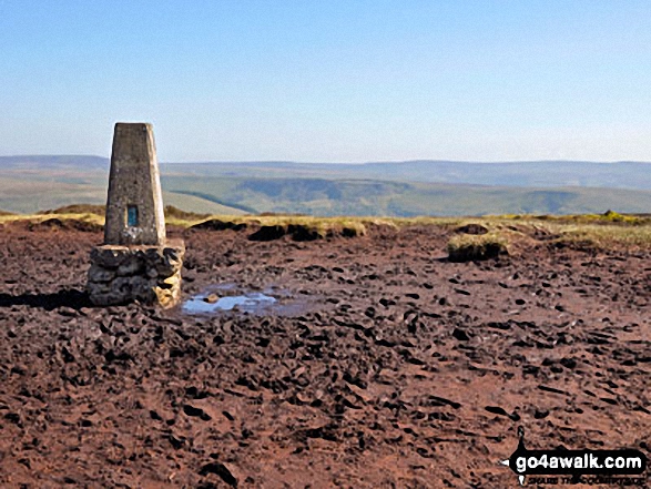
Kinder Scout is the highest point in The Peak District National Park and the highest point in the county of Derbyshire.
Tap/mouse over a coloured circle (1-3 easy walks, 4-6 moderate walks, 7-9 hard walks) and click to select.
Not familiar with this top?
You can walk/hike to the top of Kinder Scout by using any of these 5 easy‑to‑follow route maps:
Walk d296 Jacob's Ladder and Kinder Scout from Edale
The start of the Pennine Way
   |
|---|
Vital Statistics:
| Length: | 8.25ml (13km) |
|---|---|
| Ascent: | 1,860ft (567m) |
| Time: | 4.75hrs |
| Grade: |  (Moderate) (Moderate) |

Route Summary:
Edale - The Pennine Way - Upper Booth - Jacob's Ladder (Edale) - Edale Head - Kinder Scout - Edale Moor - Kinder Plateau - Kinder Low (Kinder Scout) - Noe Stool (Edale Head) - Pym Chair (Edale Head) - Crowden Tower (Kinder Scout) - Crowden Brook - Grindslow Knoll (Kinder Scout) - Grindsbrook Clough - Grinds Brook - The Vale of Edale - Edale
Walk d135 Kinder Downfall from Birchin Clough
Wild moorland and the Pennine Way
|
|---|
Vital Statistics:
| Length: | 9ml (14.5km) |
|---|---|
| Ascent: | 1,689ft (515m) |
| Time: | 5 hrs |
| Grade: | (Moderate) |

Route Summary:
Birchin Clough - A57 Snake Pass - Lady Clough - River Ashop - Rough Bank - Fair Brook - Kinder Scout - Edale Moor - Kinder Plateau - Kinder Downfall - The Pennine Way - The Edge (Kinder Scout) - Ashop Head - Mill Hill (Ashop Head) - Black Ashop Moor - Within Clough - Red Clough - Upper Gate Clough - Ashop Clough - Birchin Clough
Walk d201 Seal Stones (Kinder Scout) and Seal Edge from Birchin Clough
Wild moorland and the Pennine Way
|
|---|
Vital Statistics:
| Length: | 8.25ml (13km) |
|---|---|
| Ascent: | 2,060ft (628m) |
| Time: | 5 hrs |
| Grade: |  (Moderate) (Moderate) |

Route Summary:
Birchin Clough - A57 Snake Pass - Lady Clough - River Ashop - Rough Bank - Fair Brook - Gate Side Clough - Wood Moor - Dunge Clough - The Wicken - Blackden Brook - Blackden Moor - Kinder Scout - Edale Moor - Kinder Plateau - Seal Edge - Seal Stones (Kinder Scout) - Fair Brook - Birchin Wood - Birchin Clough
Walk d186 Kinder Scout and Kinder Downfall from Bowden Bridge, Hayfield
Classic high level route across Kinder Scout
|
|---|
Vital Statistics:
| Length: | 8.75ml (14km) |
|---|---|
| Ascent: | 2,192ft (688m) |
| Time: | 5½ hrs |
| Grade: | (Moderate) |

Route Summary:
Bowden Bridge - Hayfield - Booth Sheepwash - White Brow - Kinder Reservoir - Nab Brow - William Clough - Ashop Head - Mill Hill (Ashop Head) - The Pennine Way - Kinder Scout - The Edge (Kinder Scout) - Kinder Downfall - Red Brook - Cluther Rocks - Kinder Low (Kinder Scout) - Edale Cross - Kinderlow End - Oaken Clough - Tunstead House Farm - Bowden Bridge - Hayfield
Walk d240 Kinder Downfall and Kinder Scout from Edale
Good compass skills essential in thick weather
|
|---|
Vital Statistics:
| Length: | 10.25ml (16.5km) |
|---|---|
| Ascent: | 1,870ft (570m) |
| Time: | 5.75hrs |
| Grade: | (Moderate) |

Route Summary:
Edale - The Pennine Way - Upper Booth - Jacob's Ladder (Edale) - Kinder Low (Kinder Scout) - Red Brook - Kinder Downfall - Kinder Scout - Edale Moor - Kinder Plateau - Crowden Head (Kinder Scout) - Grindslow Knoll (Kinder Scout) - Grindsbrook Clough - Grinds Brook - The Vale of Edale - Edale
See Kinder Scout and the surrounding tops on our free-to-access 'Google Style' Peak Bagging Maps:
The Dark Peak Area of The Peak District National Park
Less data - quicker to download
See Kinder Scout and the surrounding tops on our unique, downloadable, PDF Peak Bagging Map:

NB: Whether you print off a copy or download it to your phone, this PDF Peak Baggers' Map might prove incredibly useful when your are up there on the tops and you cannot get a phone signal.
You can find Kinder Scout & all the walks that climb it on these unique free-to-access Interactive Walk Planning Maps:
1:25,000 scale OS Explorer Map (orange/yellow covers):
1:50,000 scale OS Landranger Map (pink/magenta covers):
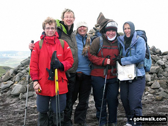
 Fellow go4awalkers who have already walked, climbed, scaled, summited, hiked & bagged Kinder Scout
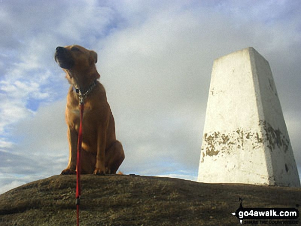
Tia Cain has walked up Kinder Scout [from/via/route] Car park in the town [with] Solo with the dog [weather] Very warm & clear day - Very lovely day out. Not technical but decent mileage & great scenary
Alan Smith climbed it on June 16th, 2023 [from/via/route] With Kev from hayfield. great pint in the sportsmans arms too. [with] kev [weather] overcast
Kristian Holt bagged it on June 9th, 2023 [from/via/route] Edale - Upperbooth - Jacobs Ladder - Edale Rocks - Kinder Low - Kinder Scout Summit - Pym Chair - Pack O'Rocks - Crowden Tower - Labrador Rock - Grindslow Knoll - Edale [weather] Sunny & Windy
Nina Adams hiked Kinder Scout on April 22nd, 2021 [from/via/route] Edale [with] Craig [weather] 7.8° Rain Poor visibility
hannah1507 summited on April 8th, 2023 [from/via/route] d186 Kinder Scout & Kinder Downfall from Bowden Bridge, Hayfield [with] Solo
To add (or remove) your name and experiences on this page - Log On and edit your Personal Mountain Bagging Record
. . . [see more walk reports]
More Photographs & Pictures of views from, on, or of, Kinder Scout
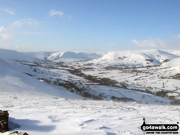
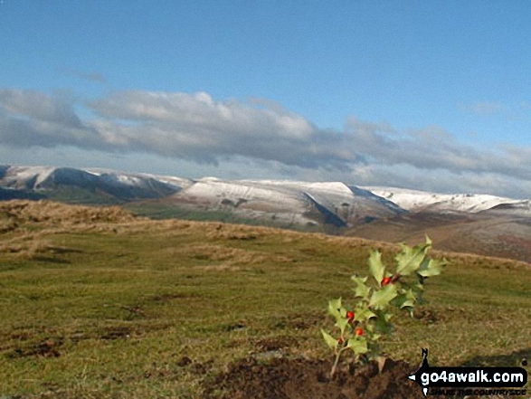
Kinder Scout and The Vale of Edale in deep snow from the Lose Hill (Ward's Piece) ridge

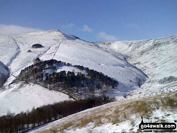
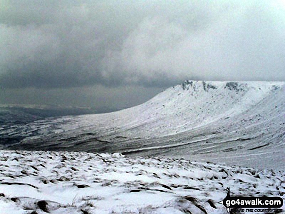
Grindslow Knoll (Kinder Scout) and Grindsbrook Clough under a blanket of snow from The Nab


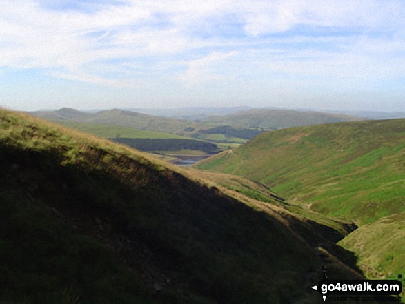
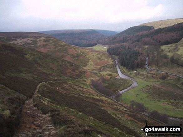
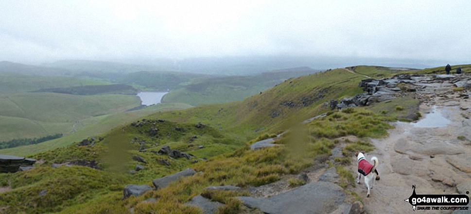
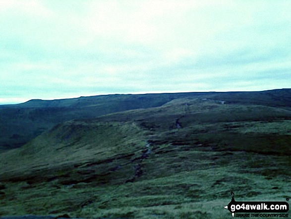
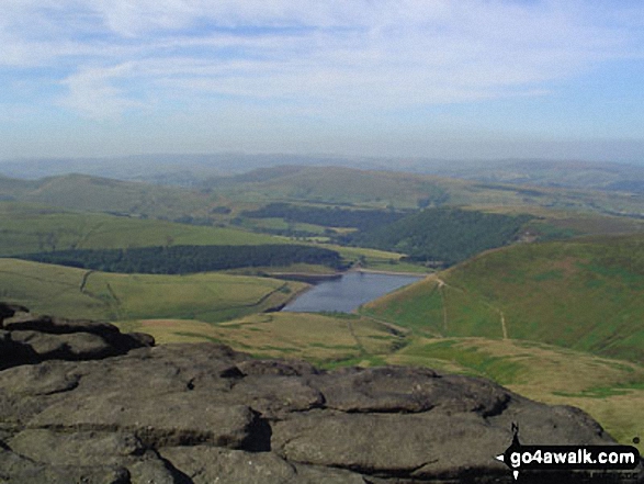
Leygatehead Moor (left), William Clough and Kinder Reservoir (right) with Kinder Scout on the horizon from White Brow


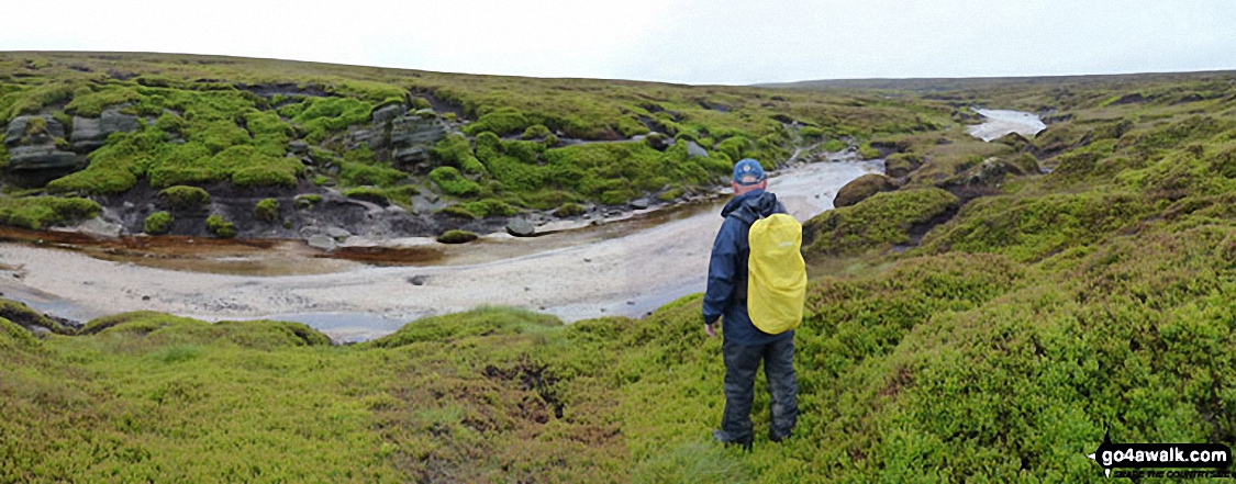
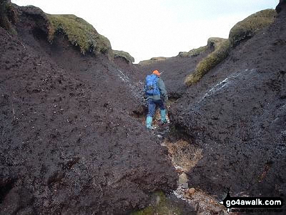
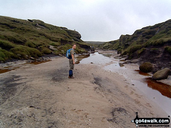
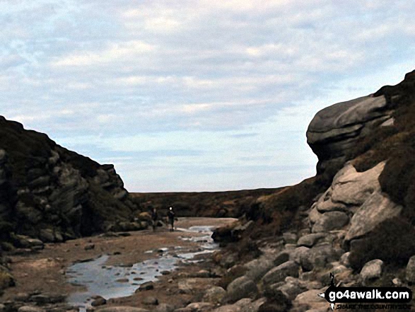
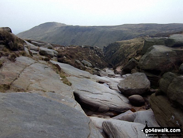
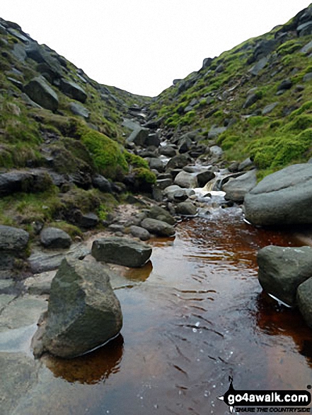
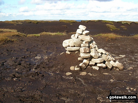
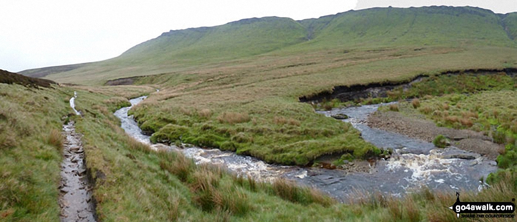
The River Kinder flowing through the peat hags on The Kinder Scout Plateau
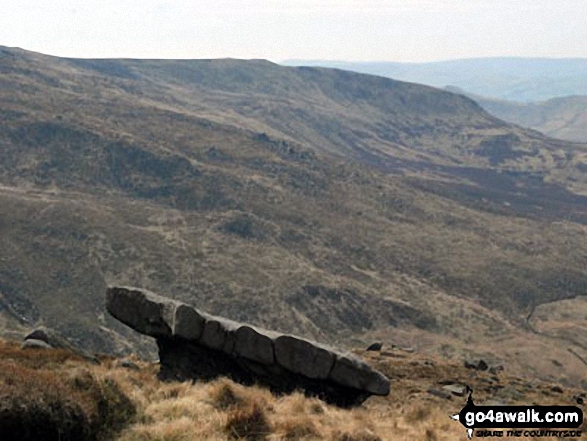
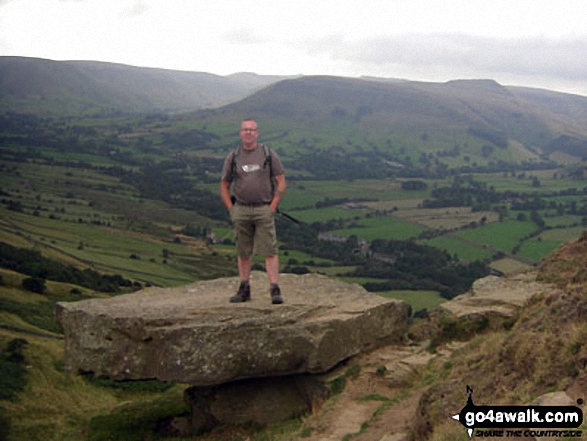
The rather Narnia-like stone table above Mermaid's Pool near The Edge (Kinder Scout), Kinder Scout

Half way up Back Tor (Hollins Cross) in the Dark Peak with the beautiful Hope Valley and Kinder Scout behind


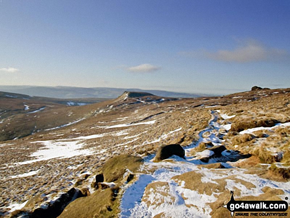
Kinder Low (Kinder Scout) from The Pennine Way near The Edge (Kinder Scout)

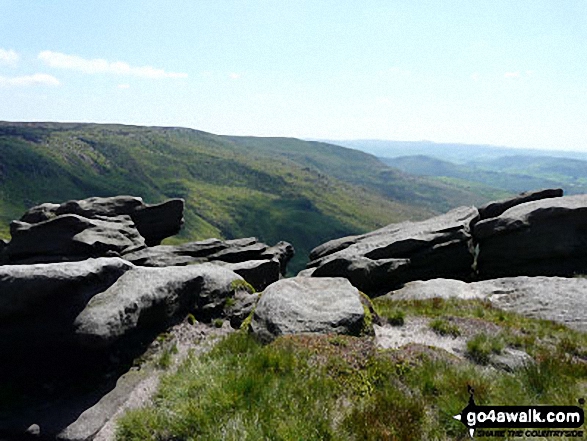
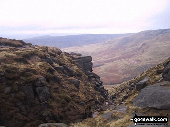
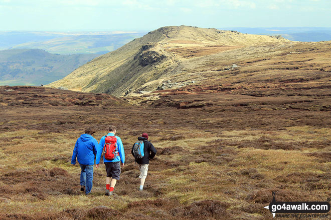
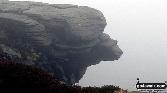
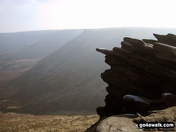
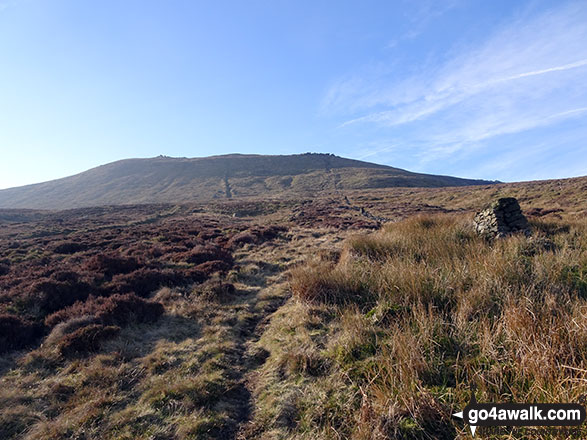
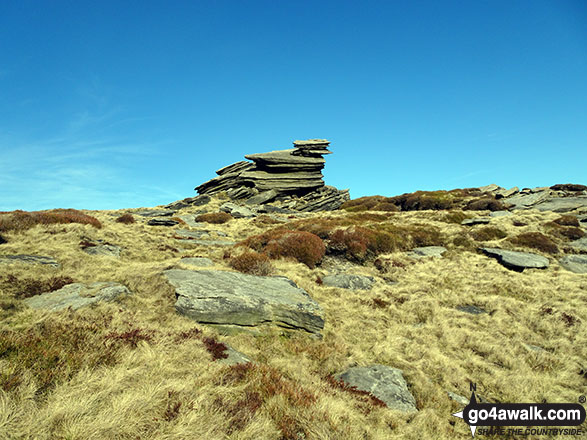
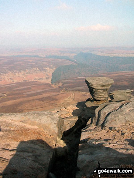
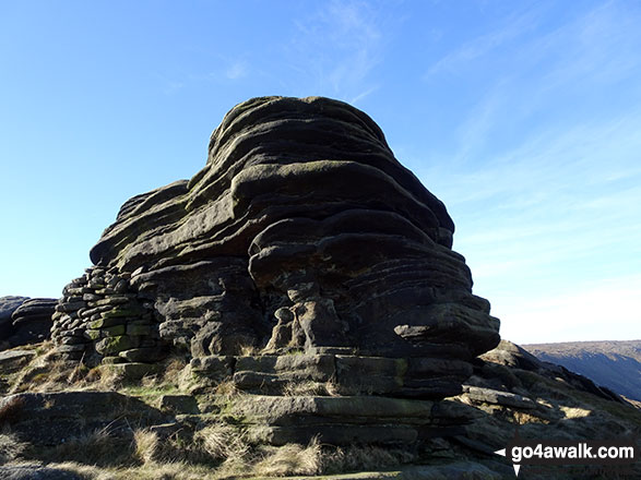
Rock formations on the northern edge of Kinder Scout with Featherbed Moss over Black Ashop Moor in the background.


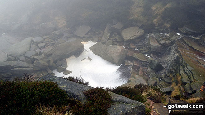
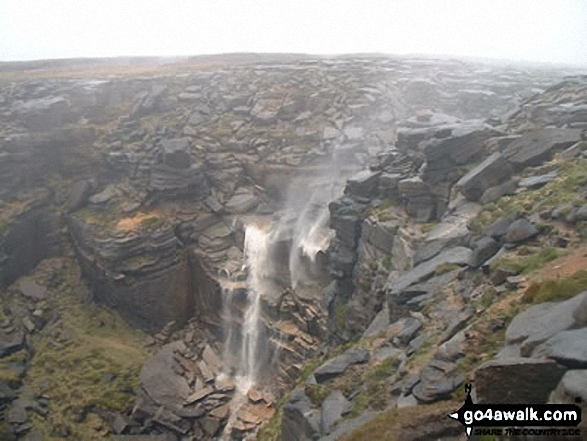
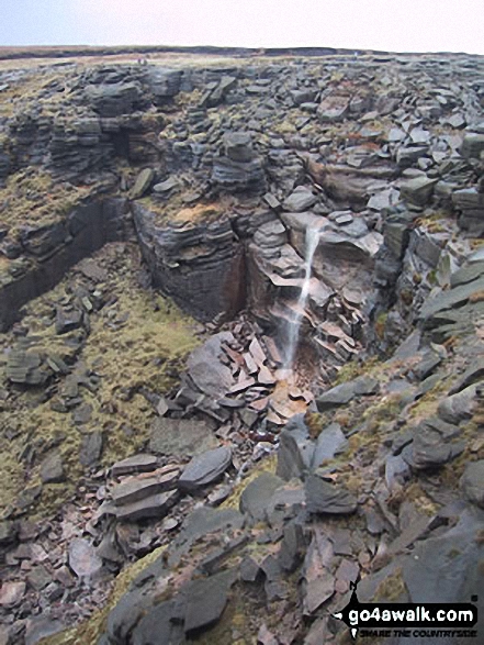
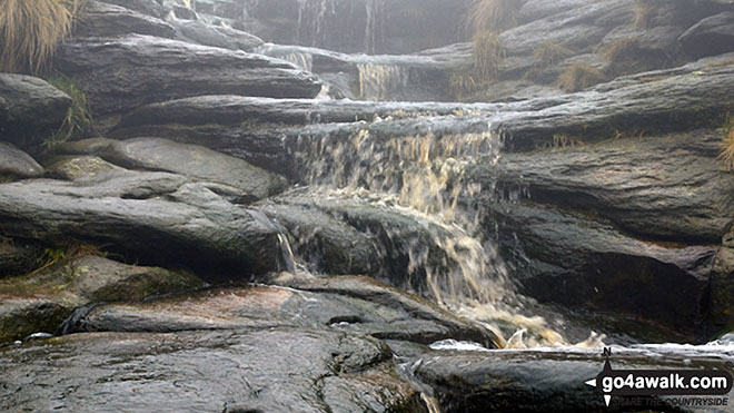
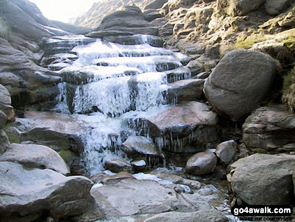
The River Kinder flowing towards the waterfall at Kinder Downfall on the Kinder Scout Plateau
Lantern Pike summit with Mill Hill (Ashop Head), Kinder Scout and
Chinley Churn and Hayfield beyond


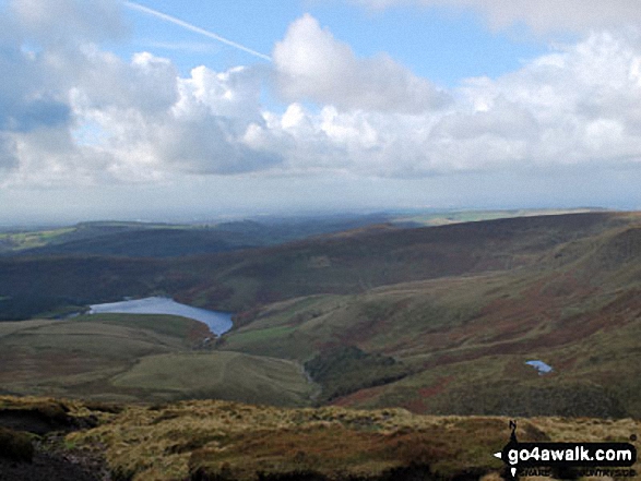
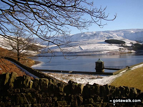
Looking down William Clough to a snowy and frozen Kinder Reservoir from near Mill Hill (Ashop Head), Kinder Scout
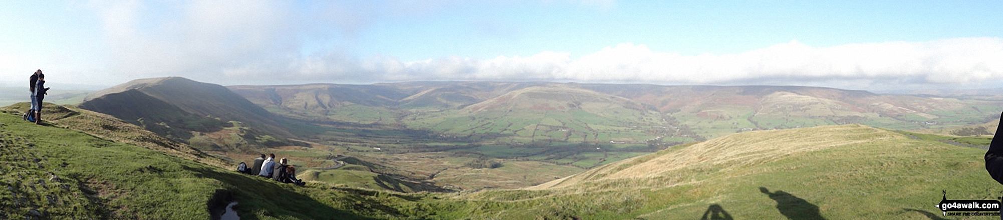
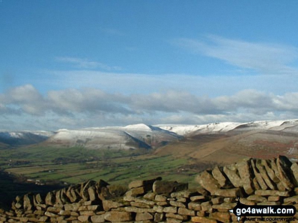
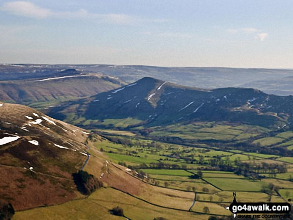
Lord's Seat (Rushup Edge) (left), Brown Knoll, Kinder Scout and The Vale of Edale from the summit of Mam Tor


Carl Morris at a snowy Edale Station with Grindslow Knoll (Kinder Scout) in the background
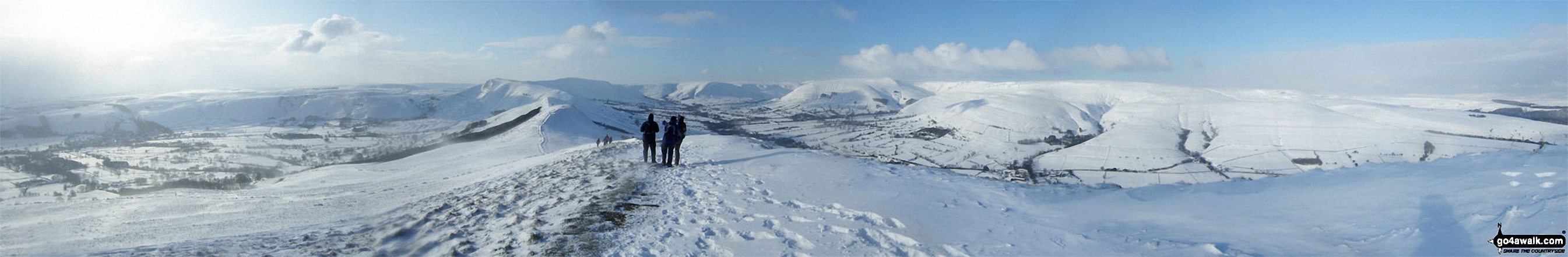
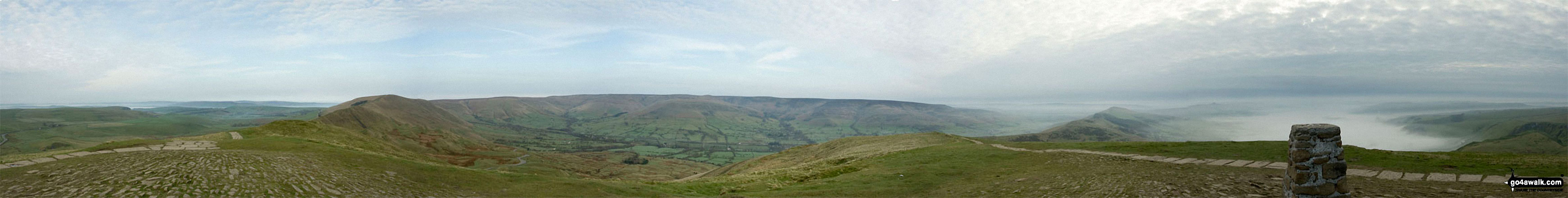
*Aerial Panorama above Grindslow Knoll (Kinder Scout) looking towards Crowden Tower (Kinder Scout)

The Northern Edge of Kinder Scout taken from Higher Shelf Stones, looking SW to the Snake Pass (A57).
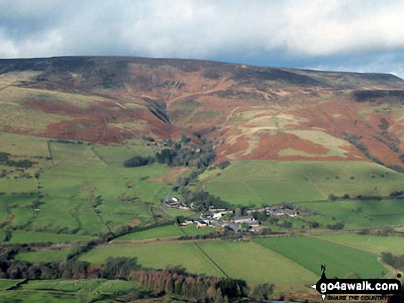
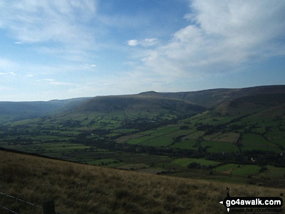
Nether Booth nestling in the Vale of Edale below Kinder Scout from Back Tor (Hollins Cross)


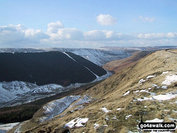
Looking East across The Edge (Kinder Scout) towards Fairbrook Naze (Kinder Scout)


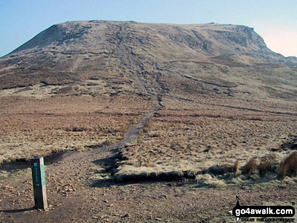
At the top of Grindsbrook Clough with Grindslow Knoll (Kinder Scout) in the distance


Pym Chair and Crowden Tower from the Pennine Way near Kinder Low (Kinder Scout)

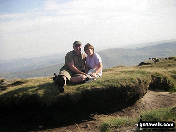
My friend Wiktor on the top of Kinder Scout with Hayfield Reservoir shimmering below

Approaching Kinder Plateau at Fairbrook Naze (Kinder Scout) via Fair Brook
On Edale Head looking towards Kinder Low (Kinder Scout) from Noe Stool (Edale)


Kinder Scout, Mam Tor and Lose Hill (Ward's Piece) from Burton Bole End (Abney Moor)

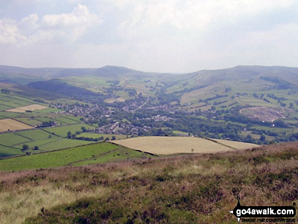
Mill Hill (Ashop Head), Kinder Scout and Chinley Churn with Hayfield nestling below from Lantern Pike


The Hope Valley (left), Mam Tor, The Vale of Edale and Kinder Scout (right) from Lose Hill (Ward's Piece) in arctic snow conditions

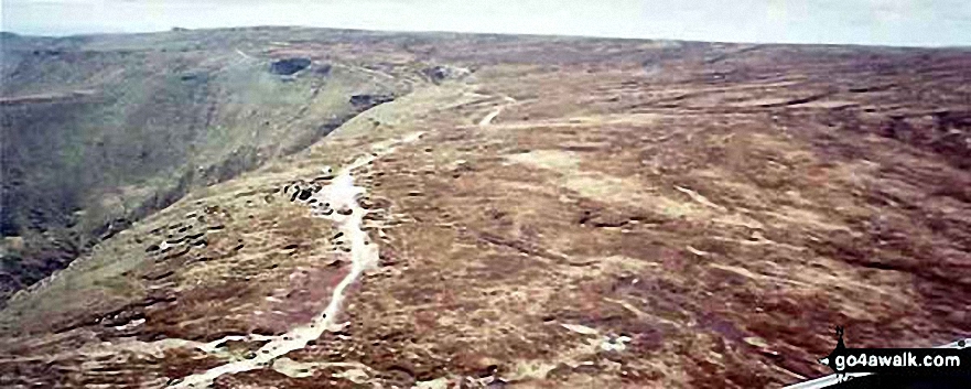
The Pennine Way where it climbs up to Kinder Scout from Mill Hill (Ashop Head)


Kinder Reservoir and Mermaid's Pool from near the Kinder Downfall, Kinder Scout

The surprisingly sandy bed of the River Kinder on The Kinder Plateau, Kinder Scout, east of Kinder Downfall
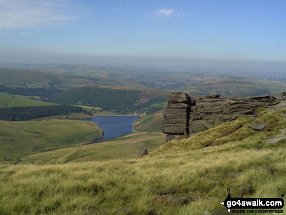
Kinder Reservoir from The Pennine Way on The Kinder Scout Plateau near Kinder Downfall


The High Peak District, Eldon Hill, Chapel-en-le-Frith, Rushup Edge, Kinder Scout, The Vale of Edale, Edale, Mam Tor, Hollins Cross, Back Tor (Hollins Cross) and Lose Hill (Ward's Piece) from Lord's Seat (Rushup Edge)
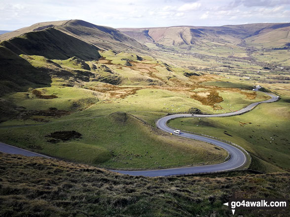
The road winding its way down to Edale from Mam Tor with Lord's Seat (Rushup Edge) (left) and Kinder Scout in the distance


The Great Ridge - Lord's Seat (Rushup Edge), Rushup Edge, Kinder Scout, The Vale of Edale, Edale, Hollins Cross, Back Tor (Hollins Cross), Lose Hill (Ward's Piece), Hope and Castleton under the mist from Mam Tor


Mill Hill (Ashop Head) and the top of William Clough from the large cairn W of The Edge (Kinder Scout)


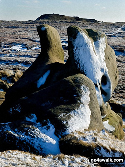

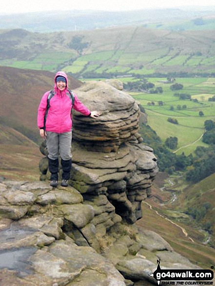
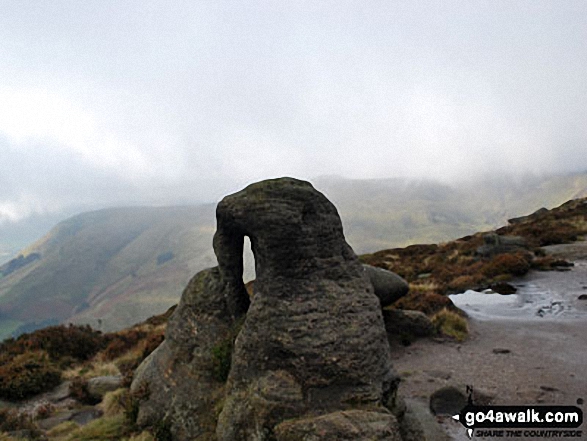
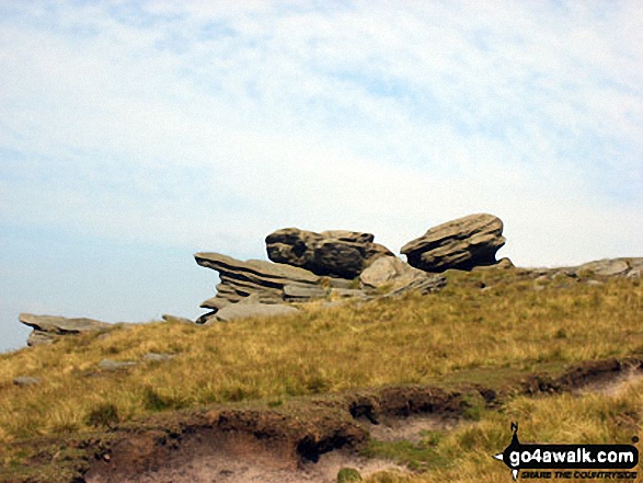
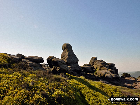
On of the many amazingly sculptured rocks at Seal Stones (Kinder Scout)


Lose Hill (Ward's Piece) and The Vale of Edale from the summit of Grindslow Knoll (Kinder Scout)
. . . see just 10 walk photographs & pictures of views from, on, or of, Kinder Scout
Send us your photographs and pictures on, of, or from Kinder Scout
If you would like to add your walk photographs and pictures to this page, please send them as email attachments (configured for any computer) along with your name to:
and we shall do our best to publish them.
(Guide Resolution = 300dpi. At least = 660pixels (wide) x 440 pixels (high).)

You can also submit photos via our Facebook Page.
NB. Please indicate where each photo was taken and whether you wish us to credit your photos with a Username or your First Name/Last Name.


