Mountain (Hewitt), Nuttall, Marilyn & OS Trig Point Icon

Great Whernside
704m (2310ft)

The Southern Dales Area, The Yorkshire Dales, North Yorkshire, England


Tap/mouse over a coloured circle (1-3 easy walks, 4-6 moderate walks, 7-9 hard walks) and click to select.


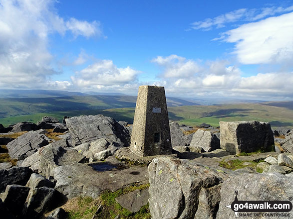
The summit of Great Whernside is marked by an Ordnance Survey Trig Point.


Record Great Whernside as Bagged, Climbed & Conquered


English Mountain Icon

English Mountain
102nd highest in England,
168th in England & Wales

English Nuttall Icon

English Nuttall
127th highest in England,
211th in England & Wales

English Marilyn Icon

English Marilyn
31st highest in England,
584th highest in Great Britain

English Trig Point Icon


English Trig Point (Pillar)

Walk Great Whernside walking UK Mountains in The Southern Dales Area The Yorkshire Dales National Park North Yorkshire, England

Great Whernside Summit

Photo: Neil Fretwell

You can find Great Whernside & all the walks that climb it on these unique free-to-access Interactive Walk Planning Maps: (click/TAP to select)

The Yorkshire Dales National Park


1:25,000 scale OS Explorer Map (the ones with orange/yellow covers):

OL30 Yorkshire Dales - Northern & Central areas


1:50,000 scale OS Landranger Map (the ones with pink/magenta covers):

98 Wensleydale & Upper Wharfedale


See Great Whernside and the surrounding tops on our free-to-access 'Google Style' Peak Bagging Maps:

See Great Whernside and the surrounding tops on our downloadable PDF Peak Bagging Map:


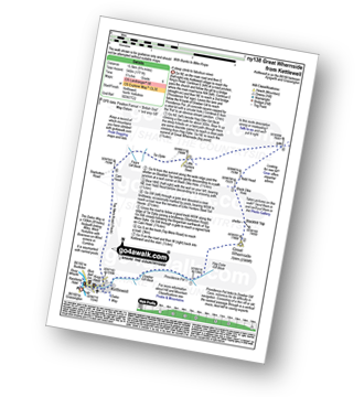
You can walk to the top of Great Whernside by using either of these 2 easy‑to‑follow route maps:
Walking Boot Print Icon

Walk ny138 Great Whernside from Kettlewell

A steep ascent to fabulous views

Walk GPS Icon
Walk GPX Icon
Walk PDF Icon

Vital Statistics:

Length: 10ml (16km)
Ascent:1,771ft (540m)
Time:5½ hrs
Grade:Walk Grade 6 Icon (Moderate)
Walking Boot Print Icon

Walk ny117 Little Whernside and Great Whernside from Scar House Reservoir, Nidderdale

Fine high level walk with good views

Walk GPS Icon
Walk GPX Icon
Walk PDF Icon

Vital Statistics:

Length: 11.5ml (18.5km)
Ascent:1,913ft (583m)
Time:6.25hrs
Grade:Walk Grade 6 Icon (Moderate)

Other walkers who hiked, climbed, bagged and summited Great Whernside Fellow go4awalkers who have already walked, climbed, summited & bagged Great Whernside

Tony Halliday walked up Great Whernside on October 11th, 2020 [from/via/route] started & ended from campsite in kettlewell circular [with] sally halliday jimmy boo and George our 3 dogs [weather] cloud cover but dry good visability & views then a massive downpour soaked - camped at kettlewell weather couldn't quite make its mind up started off nice then massive downpour realised we need better waterproof clothing to take with us this time of year kettlewell is an excellent base to walk from

Shaun Moss climbed Great Whernside on August 30th, 2020 [from/via/route] Kettlewell [with] Jeanette [weather] cloudy

Angela Moroney has bagged Great Whernside [with] Cath 3 peaks 2019 - 2017 / 2019

Stephen Leathley has hiked Great Whernside [from/via/route] Part of Wharfedale 3 peaks [with] own [weather] iffy

Allen Andrews summited Great Whernside on June 19th, 2012 [from/via/route] From Kettlewell [with] Work colleague [weather] Low cloud

Michael Naylor conquered Great Whernside on January 3rd, 2019 [weather] Overcast

Simon Boddy scaled Great Whernside on February 23rd, 2019 [from/via/route] Kettlewell [with] My girlfriend [weather] Fair

Christine Shepherd walked up Great Whernside on August 14th, 2009 [from/via/route] Walked from Kettlewell [with] Jenny [weather] Windy - A great day to choose as we saw all the scarecrows in Kettlewell. Climbed again from Scar House Reservoir on 27.9.2018. The descent from Great Whernside isn't easy. Stone Beck makes route finding easy but there are very few paths, uneven ground & reeds which came up to my thighs. Hard going & not to be attempted in poor weather.

Margaret Richards climbed Great Whernside on March 21st, 2016 [from/via/route] ny117 Little Whernside & Great Whernside from Scar House Reservoir [with] Don [weather] clear day - got a bit lost

Andy Jakob bagged Great Whernside on July 15th, 2017 [from/via/route] Kettlewell to Middleham [with] AFWC me and Colin [weather] very misty & damp - e

To add (or remove) your name and experiences on this page - Log On and edit your Personal Mountain Bagging Record

. . . [see more walk reports]


More Photographs & Pictures of views from, on or of Great Whernside

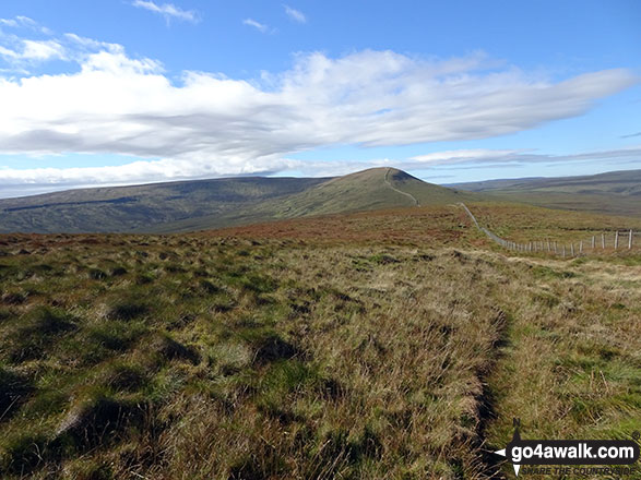
The path from Little Whernside to Great Whernside

The path from Little Whernside to Great Whernside

Photo: Christine Shepherd (692)

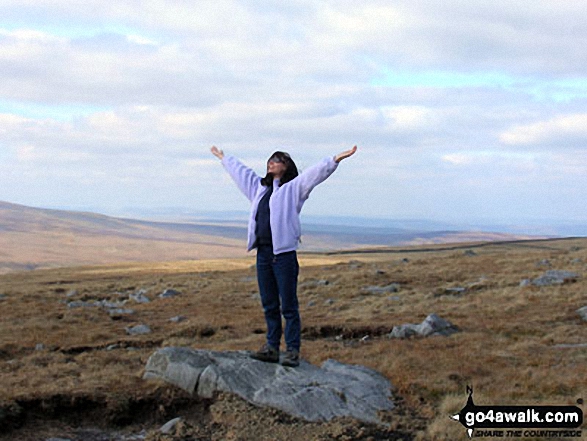
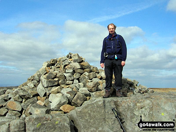
Me on Great Whernside summit

Me on Great Whernside summit

Photo: Neil Fretwell (5)

Great Whernside from Scar House Reservoir

Great Whernside from Scar House Reservoir

Photo: Neil Fretwell (1)

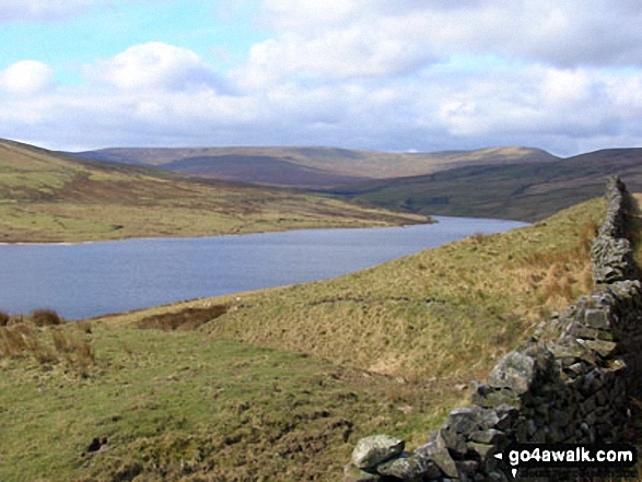
Looking back down to Scar House Reservoir from Great Whernside

Looking back down to Scar House Reservoir from Great Whernside

Photo: Christine Shepherd (693)

Trig Point on the summit of Great Whernside

Trig Point on the summit of Great Whernside

Photo: Christine Shepherd (694)

One of the many streams that flow into Stone Beck on the lower slopes of Great Whernside

One of the many streams that flow into Stone Beck on the lower slopes of Great Whernside

Photo: Neil Fretwell (6)

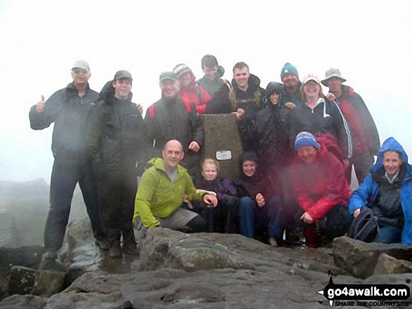
Church weekend away at Great Whernside

Church weekend away at Great Whernside

Photo: Martin Wardroper (1)


Send us your photographs and pictures on, of, or from Great Whernside

If you would like to add your walk photographs and pictures featuring views from, on or of Great Whernside to this page, please send them as email attachments (configured for any computer) along with your name to:


and we shall do our best to publish them.

(Guide Resolution = 300dpi. At least = 660pixels (wide) x 440 pixels (high).)

Send us your photographs and pictures on, of, or from Great Whernside via Facebook

You can also submit photos via our Facebook Page.

NB. Please indicate where each photo was taken.


Follow go4awalk.com on Twitter Follow go4awalk.com on Facebook


Home


Find new Friends to go walking with

Walk all 214 Wainwrights in just 59 Walks. Download GPS Waypoints - Great Walks you must not miss!

Walk The Yorkshire Three Peaks Challenge Walk - All the Latest Route Information, GPS Waypoints and Split Times to keep you on Schedule

Walk The British Three Peaks Challenge Walk - All the Latest Route Information and GPS Waypoints

See our pick of The Best Walks in The Lake District - Great Walks you must not miss!

Walk our pick of the Best Lake District Ridge Walks - Great Walks you must not miss!

Walk our pick of the Best Lake District Walks to do in the rain - Great Walks you must not miss!

Walk our pick of The Best Walks in Snowdonia - Great Walks you must not miss!

Walk our pick of The Best Ridge Walks in Wales - Walks you must not miss!

Walk our pick of The Best Walks in The Brecon Beacons - Great Walks you must not miss!

Walk our pick of The Best Walks in The Yorkshire Dales - Walks you must not miss!

Walk our pick of The Best Walks in The Peak District - Walks you must not miss!

Walk our pick of The Best Walks in The Forest of Bowland - Walks you must not miss!

Walk our pick of The Best Walks in Shropshire - Walks you must not miss!

Walk our pick of The Best Walks in Cheshire - Walks you must not miss!

Walk our pick of The Best Walks in Lancashire - Walks you must not miss!

Not sure where to walk next? Try Peak Bagging - Great Walks you must not miss!

Not sure where to walk next? Walk part of a National Trail - Great Walks you must not miss!

Walks with Downloadable and Uploadable GPS Waypoint Data

Walking Kit and Gear Tested by Walkers

Full Site Search