Wainwright & Dewey Icon

Bleaberry Fell
590m (1936ft)

The Central Fells, The Lake District, Cumbria, England


Tap/mouse over a coloured circle (1-3 easy walks, 4-6 moderate walks, 7-9 hard walks) and click to select.


Record Bleaberry Fell as Bagged, Climbed & Conquered


Wainwright Icon

Wainwright
(No. 132)

English Dewey Icon

English Dewey
19th in England,
46th in England & Wales

Walk Bleaberry Fell walking UK Mountains in The Central Fells The Lake District National Park Cumbria, England

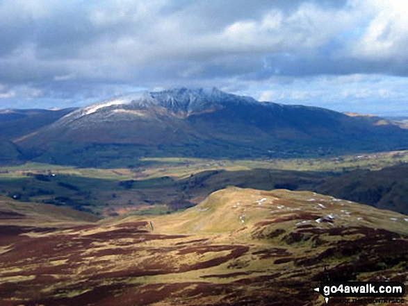
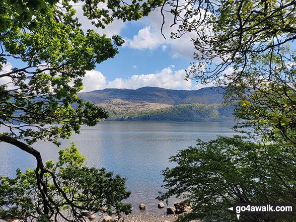
The view from the summit of Bleaberry Fell

Photo: Ron Anderson

You can find Bleaberry Fell & all the walks that climb it on these unique free-to-access Interactive Walk Planning Maps: (click/TAP to select)

The Lake District National Park


1:25,000 scale OS Explorer Map (the ones with orange/yellow covers):

OL4 The English Lakes - North Western area


1:50,000 scale OS Landranger Maps (the ones with pink/magenta covers):

89 West Cumbria, Cockermouth & Wast Water


90 Penrith & Keswick, Ambleside


See Bleaberry Fell and the surrounding tops on our free-to-access 'Google Style' Peak Bagging Maps:

See Bleaberry Fell and the surrounding tops on our downloadable PDF Peak Bagging Maps:

NB: Whether you print off a copy on to paper or download it to your phone, these PDF Peak Baggers Maps will prove incredibly useful when your are up there on the tops and you cannot get a phone signal!


You can walk to the top of Bleaberry Fell by using either of these 2 easy‑to‑follow route maps:
Walking Boot Print Icon

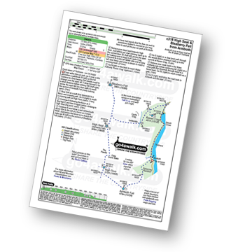
Walk c318 High Seat and Bleaberry Fell from Armboth

Good views of Thirlmere - can be boggy

Walk GPS Icon
Walk GPX Icon
Walk PDF Icon

Vital Statistics:

Length: 8.5ml (13.5km)
Ascent:2,368ft (722m)
Time:5½ hrs
Grade:Walk Grade 6 Icon (Moderate)
Walking Boot Print Icon

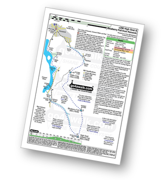
Walk c296 High Seat and Bleaberry Fell from Keswick

Fine views of Keswick, Derwent Water and that famous bridge

Walk GPS Icon
Walk GPX Icon
Walk PDF Icon

Vital Statistics:

Length: 9.5ml (15km)
Ascent:2,257ft (688m)
Time:5½ hrs
Grade:Walk Grade 6 Icon (Moderate)

Other walkers who hiked, climbed, bagged and summited Bleaberry Fell Fellow go4awalkers who have already walked, climbed, summited & bagged Bleaberry Fell

Mr M A Blanchard walked up Bleaberry Fell on August 6th, 2024 [with] Ted, Florence, Millie and Woodie [weather] Sunny

Angeline Grieveson climbed Bleaberry Fell on February 10th, 2024 [with] Dotty & Rick

Caroline Winter bagged Bleaberry Fell on November 12th, 2024 [from/via/route] Ashness bridge, Walla crag, Bleaberry fell, High Seat [with] Yusef [weather] Warm, excellent views

Kate Peacock hiked Bleaberry Fell on February 10th, 2024 [from/via/route] From the caravan site layby [with] Sheila, Amber & Skye [weather] Dry other than one shower, foggy at times which lifted to a beautiful sunny walk back, no winds - Boggy boggy boggy

Sarah Wild summited Bleaberry Fell on October 3rd, 2023 [from/via/route] Thirlmere road [with] Barney [weather] Sun & cloud - 4 today

Chris Mcmanus conquered Bleaberry Fell on August 24th, 2023 [from/via/route] 2nd Wainwright walk - 5 peaks [with] Joanne & Julie [weather] Sunny & misty - boggy & pathways hard to find

Dan Collins scaled Bleaberry Fell on July 30th, 2023 [from/via/route] As part of c318 walk [with] Family (just the lads) [weather] Overcast & rainy - Very boggy & marshy on the top ridge. My right leg vanished into a bog at one point, much to the amusement of the kids. Descent from Raven crag is steep, & generally the main part of the walk was hard to navigate with limited pathways (I assume partly based on the extent of rain recently)

Charlotte Hewson walked up Bleaberry Fell on June 3rd, 2023 [from/via/route] The base of raven cragg, Thirlmere, along the lake [with] Rosie [weather] Sunny! - Quick paddle in Thirlmere after

Iain Jones climbed Bleaberry Fell on March 18th, 2023 [from/via/route] Great Wood, Borrowdale

Geoff Hand bagged Bleaberry Fell on March 1st, 2023 [from/via/route] Parked on the verge of the A591 at the North End of Thirlmere. Crossed to the West of the res. after climbing Raven Crag & High Seat, set off North to summit Bleaberry Fell. Weather not good so made our way back to high seat & back down to the A591. [with] Richard Macilwaine and Tess [weather] Cloudy with frequent showers. cold wind - Walk should have started at Armboth but this is now inaccessible by road.

To add (or remove) your name and experiences on this page - Log On and edit your Personal Mountain Bagging Record

. . . [see more walk reports]


More Photographs & Pictures of views from, on or of Bleaberry Fell

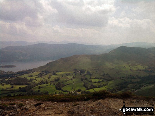
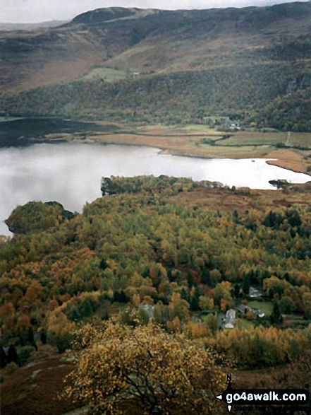
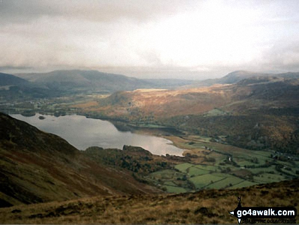
*Derwent Water from Bleaberry Fell

*Derwent Water from Bleaberry Fell

Photo: Andy Malcolm (89)

The Coledale Horseshoe from Crag Hill (Eel Crag) trig point featuring: Grasmoor, Grasmoor, Whiteside (Crummock) (West Top), Whiteside (Crummock), Gasgale Crags, Hopegill Head, Sand Hill, The top of Hobcarton Crag, Grisdale Pike, The Skiddaw massif, Blencathra (or Saddleback), Keswick, Sleet How, Outerside, Stile End, Sail, Causey Pike, Bleaberry Fell, High Seat, High Tove, The Southern Fells and The Western Fells

The Coledale Horseshoe from Crag Hill (Eel Crag) trig point featuring: Grasmoor, Grasmoor, Whiteside (Crummock) (West Top), Whiteside (Crummock), Gasgale Crags, Hopegill Head, Sand Hill, The top of Hobcarton Crag, Grisdale Pike, The Skiddaw massif, Blencathra (or Saddleback), Keswick, Sleet How, Outerside, Stile End, Sail, Causey Pike, Bleaberry Fell, High Seat, High Tove, The Southern Fells and The Western Fells

Photo: Peter Dryden (5)

Derwent Water and Bleaberry Fell from Maiden Moor

Derwent Water and Bleaberry Fell from Maiden Moor

Photo: Peter Swan (15)

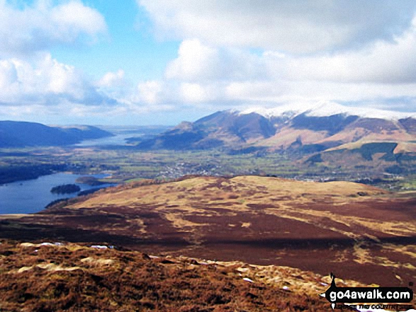
Keswick and Skidddaw from Bleaberry Fell

Keswick and Skidddaw from Bleaberry Fell

Photo: Ron Anderson (5)

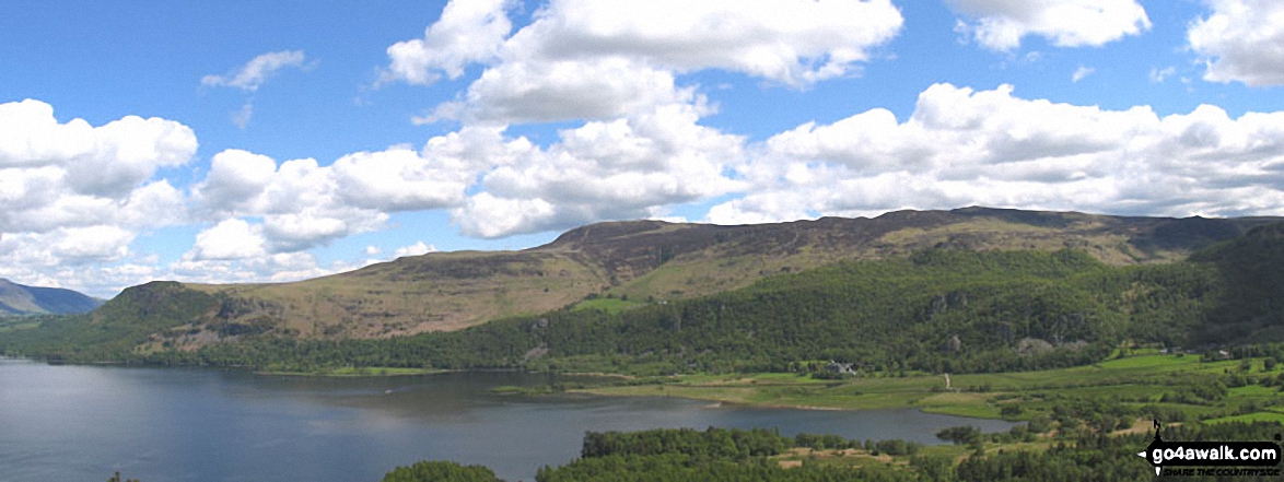
*Derwent Water with Walla Crag, Bleaberry Fell and High Seat beyond from Cat Bells (Catbells)
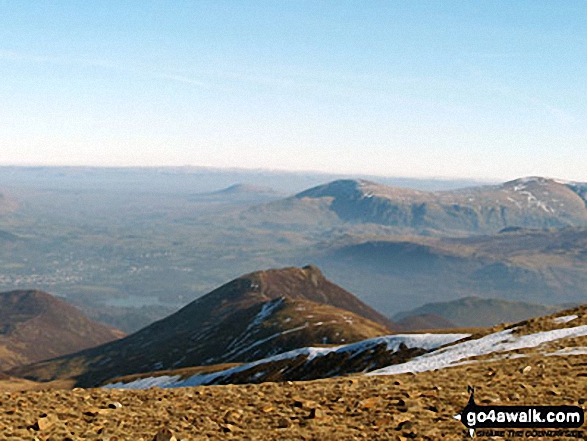
*Derwent Water with Walla Crag, Bleaberry Fell and High Seat beyond from Cat Bells (Catbells)

Photo: Lesley Line (1)

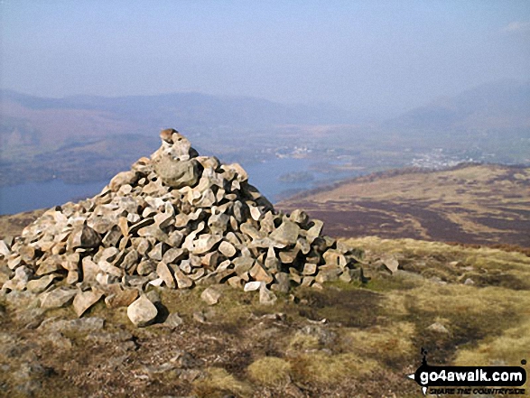
Derwent Water, Keswick, and Walla Crag from Bleaberry Fell summit cairn

Derwent Water, Keswick, and Walla Crag from Bleaberry Fell summit cairn

Photo: David Baines (16)

Blencathra (or Saddleback) from Bleaberry Fell

Blencathra (or Saddleback) from Bleaberry Fell

Photo: Chris Haselden (29)

Sail and Causey Pike (foreground) & The Central Fells - Bleaberry Fell, High Seat and High Tove from Crag Hill (Eel Crag) trig point

Sail and Causey Pike (foreground) & The Central Fells - Bleaberry Fell, High Seat and High Tove from Crag Hill (Eel Crag) trig point

Photo: Peter Dryden (12)

Bleaberry Fell summit cairn

Bleaberry Fell summit cairn

Photo: Christine Shepherd (898)

Looking down Styhead Gill from Sty Head to a sunlit Borrowdale  with Bleaberry Fell the high point in the distance

Looking down Styhead Gill from Sty Head to a sunlit Borrowdale with Bleaberry Fell the high point in the distance

Photo: Andy Malcolm (231)

Derwent Water, Blencathra, Walla Crag and 
Bleaberry Fell from High Spy

Derwent Water, Blencathra, Walla Crag and Bleaberry Fell from High Spy

Photo: Peter Swan (14)

Cat Bells (Catbells), Derwent Water with Bleaberry Fell & High Seat (Ashness Fell) from Scar Crags

Cat Bells (Catbells), Derwent Water with Bleaberry Fell & High Seat (Ashness Fell) from Scar Crags

Photo: Perry Biggs (3)


Send us your photographs and pictures on, of, or from Bleaberry Fell

If you would like to add your walk photographs and pictures featuring views from, on or of Bleaberry Fell to this page, please send them as email attachments (configured for any computer) along with your name to:


and we shall do our best to publish them.

(Guide Resolution = 300dpi. At least = 660pixels (wide) x 440 pixels (high).)

Send us your photographs and pictures on, of, or from Bleaberry Fell via Facebook

You can also submit photos via our Facebook Page.

NB. Please indicate where each photo was taken.


Do not miss our pick of the Best Walks in the UK


Follow go4awalk.com on Twitter Follow go4awalk.com on Facebook


Home


Find new Friends to go walking with

Walk all 214 Wainwrights in just 59 Walks. Download GPS Waypoints - Great Walks you must not miss!

Walk The Yorkshire Three Peaks Challenge Walk - All the Latest Route Information, GPS Waypoints and Split Times to keep you on Schedule

Walk The British Three Peaks Challenge Walk - All the Latest Route Information and GPS Waypoints

See our pick of The Best Walks in The Lake District - Great Walks you must not miss!

Walk our pick of the Best Lake District Ridge Walks - Great Walks you must not miss!

Walk our pick of the Best Lake District Walks to do in the rain - Great Walks you must not miss!

Walk our pick of The Best Walks in Snowdonia - Great Walks you must not miss!

Walk our pick of The Best Ridge Walks in Wales - Walks you must not miss!

Walk our pick of The Best Walks in The Brecon Beacons - Great Walks you must not miss!

Walk our pick of The Best Walks in The Yorkshire Dales - Walks you must not miss!

Walk our pick of The Best Walks in The Peak District - Walks you must not miss!

Walk our pick of The Best Walks in The Forest of Bowland - Walks you must not miss!

Walk our pick of The Best Walks in Shropshire - Walks you must not miss!

Walk our pick of The Best Walks in Cheshire - Walks you must not miss!

Walk our pick of The Best Walks in Lancashire - Walks you must not miss!

Not sure where to walk next? Try Peak Bagging - Great Walks you must not miss!

Not sure where to walk next? Walk part of a National Trail - Great Walks you must not miss!

Walks with Downloadable and Uploadable GPS Waypoint Data

Walking Kit and Gear Tested by Walkers

Full Site Search
Do not miss our pick of the Best Walks in the UK