
![]()
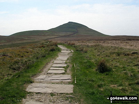
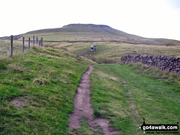
Shutlingsloe
506m (1660ft)
The White Peak Area, The Peak District, Cheshire, England
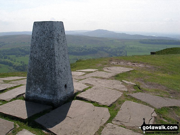
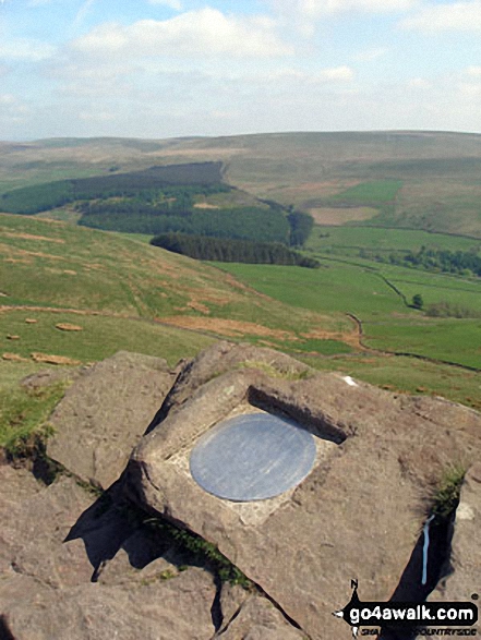
The summit of Shutlingsloe is marked by an Ordnance Survey Trig Point.
Not familiar with this top?
You can walk/hike to the top of Shutlingsloe by using either of these 2 easy‑to‑follow route maps:
Walk ch226 Shutlingsloe from Wildboarclough
The 'Cheshire Matterhorn' - a short but stiff pull up to fine views
   |
|---|
Vital Statistics:
| Length: | 4.75ml (7.5km) |
|---|---|
| Ascent: | 1,175ft (358m) |
| Time: | 3 hrs |
| Grade: |  (Moderate) (Moderate) |
Route Summary:
Wildboarclough - Banktop Farm - Shutlingsloe Farm - Shutlingsloe - Macclesfield Forest - Ferriser - Dingers Hollow - Clough House - Wildboarclough
Walk ch101 Shutlingsloe and Wildboarclough from Ridgegate Reservoir
The 'Cheshire Matterhorn' - varied walking with one steep ascent
|
|---|
Vital Statistics:
| Length: | 7.25ml (11.5km) |
|---|---|
| Ascent: | 1,598ft (487m) |
| Time: | 4.25hrs |
| Grade: |  (Moderate) (Moderate) |

Route Summary:
Ridgegate Reservoir - Leather's Smithy - Trentabank Reservoir - Higher Ridgegate - Macclesfield Forest - Shutlingsloe - Wildboarclough - Higher Nabbs Farm - Oaken Clough - Oakenclough Farm - Pot Lords - The Hanging Gate - The Gritstone Trail - Throstles Nest Farm - Ridgegate Reservoir
See Shutlingsloe and the surrounding tops on our free-to-access 'Google Style' Peak Bagging Maps:
The White Peak Area of The Peak District National Park
Less data - quicker to download
See Shutlingsloe and the surrounding tops on our unique, downloadable, PDF Peak Bagging Map:

NB: Whether you print off a copy or download it to your phone, this PDF Peak Baggers' Map might prove incredibly useful when your are up there on the tops and you cannot get a phone signal.
You can find Shutlingsloe & all the walks that climb it on these unique free-to-access Interactive Walk Planning Maps:
1:25,000 scale OS Explorer Map (orange/yellow covers):
1:50,000 scale OS Landranger Map (pink/magenta covers):
 Fellow go4awalkers who have already walked, climbed, scaled, summited, hiked & bagged Shutlingsloe
Trevor Williams walked up Shutlingsloe on February 14th, 2025 [from/via/route] Trentabank Reservoir [with] Barry [weather] windy,cold - good
Neall Garrad climbed it on January 26th, 2019 [from/via/route] From Gradbach, via Shutlingsloe & Shining Tor & back to Gradbach. [with] WWESU Explorers [weather] Mixed
Patrick Molloy bagged it on November 19th, 2020 [from/via/route] From Trentabank Reservoir. Up through Forrest. Repeated route back [with] Nadia [weather] Sunny, cold at the summit
Angela Haworth hiked Shutlingsloe on September 19th, 2017 [from/via/route] Cat & Fiddle - Whetstone Ridge - Danethorn Hollow - Shutlingsloe - Macclesfield Forest - Standing Stone - Torgate Farm - Chest Hollow - Cat & Fiddle [with] alone [weather] warm & sunny
Darin Torrance summited on August 25th, 2020 [from/via/route] Reservoir [with] Moose [weather] rain windy - 8 mile circular walk
To add (or remove) your name and experiences on this page - Log On and edit your Personal Mountain Bagging Record
. . . [see more walk reports]
More Photographs & Pictures of views from, on, or of, Shutlingsloe


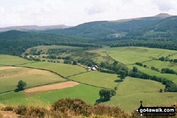
Shutlingsloe (centre) and Ridgegate Reservoir (right) from Tegg's Nose Country Park


The view from Tegg's Nose Country Park with Shutlingsloe prominent on the horizon (centre left)
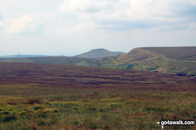
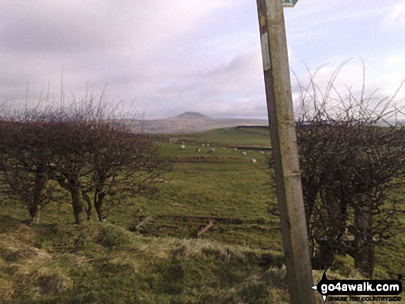
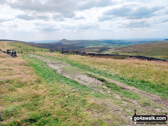
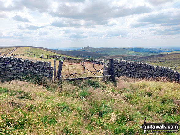
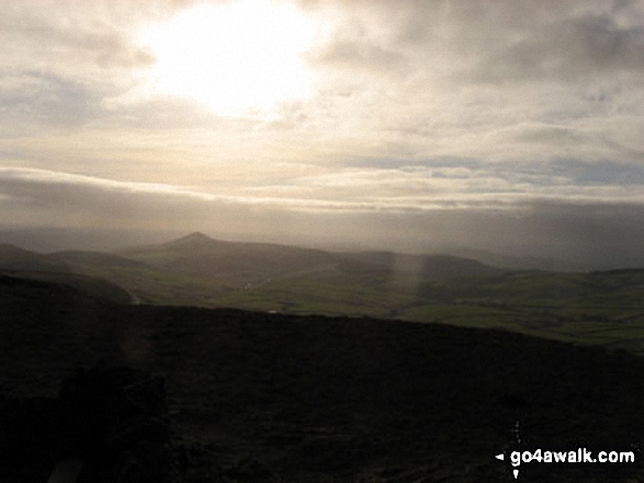
Croker Hill (mast far left), Shutlingsloe (centre right) and Whetstone Edge (right) from Axe Edge (Axe Edge Moor)

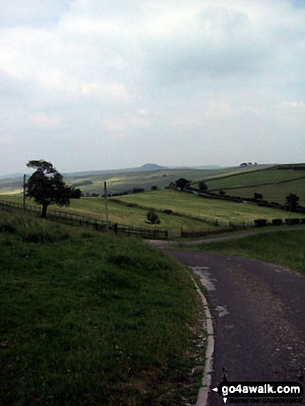
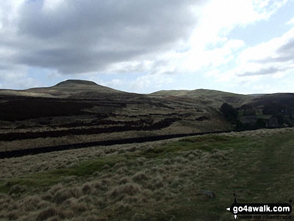
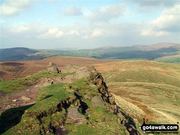
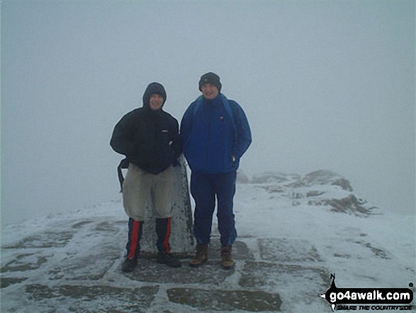
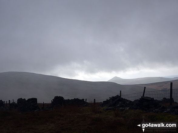
Macclesfield Forest (left) and Shining Tor (centre left - on the horizon) from a rather misty Shutlingsloe summit

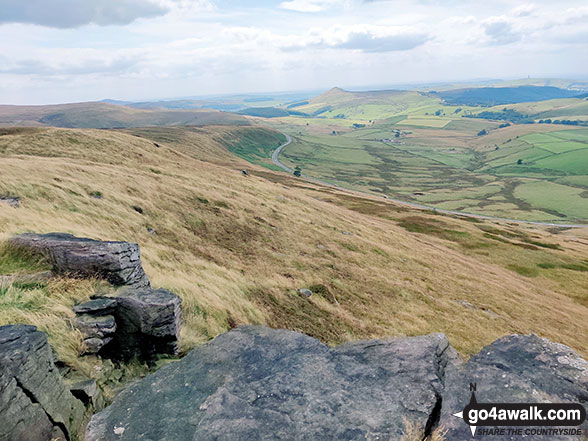
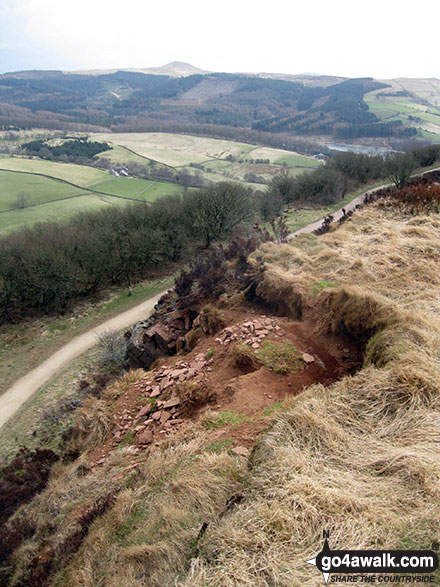
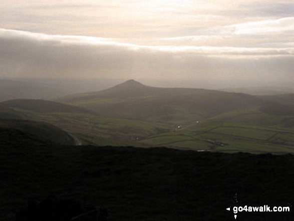
Looking South towards Shutlingsloe and Croker Hill from the summit of Shining Tor

. . . see just 10 walk photographs & pictures of views from, on, or of, Shutlingsloe
Send us your photographs and pictures on, of, or from Shutlingsloe
If you would like to add your walk photographs and pictures to this page, please send them as email attachments (configured for any computer) along with your name to:
and we shall do our best to publish them.
(Guide Resolution = 300dpi. At least = 660pixels (wide) x 440 pixels (high).)

You can also submit photos via our Facebook Page.
NB. Please indicate where each photo was taken and whether you wish us to credit your photos with a Username or your First Name/Last Name.


