Walk ny114 Addlebrough via Worton Pasture from Askrigg, Wensleydale
This 7¾ mile, Grade 5 (Moderate), easy-to-follow, hand-crafted walk, complete with GPS Waypoints, starts at Askrigg & will take about 4¼ hrs to complete.
   |
Vital Statistics:
| Length: | 7¾mls (12.5km) |
| Ascent: | 1,214ft (370m) |
| Time: | 4¼hrs |
| Grade: |  |

Route outline for walk ny114:
Askrigg - Askrigg Bottoms - The River Ure - Wensleysdale - Worton Bridge - Worton - Cubeck - Carpley Green Road - Worton Pasture - Carpley Green Farm - Addlebrough - Swallow Hole - Worton Scar - Worton - Wensleydale - Askrigg Bottoms - Askrigg
Peaks, Summits and Tops reached on this walk:
 0 English Mountains |
 0 Wainwrights |
 0 English Nuttalls |
 0 English Deweys |
 0 Wainwright Outlying Fells |
 0 Marilyns |
 1 Bridget |
Peak Bagging Statistics for this walk:
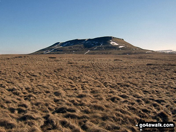
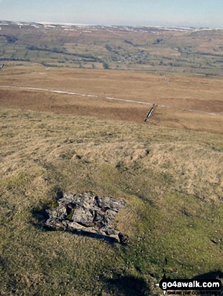
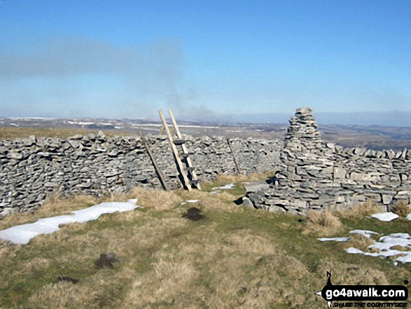
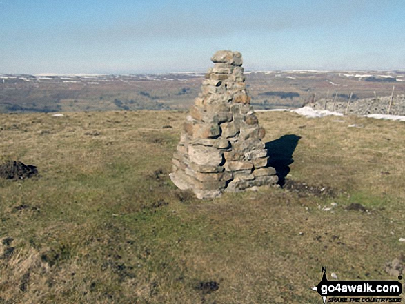
The highest point of this walk is Addlebrough at 477m (1565ft). Addlebrough is known as an English Bridget. The summit of Addlebrough is marked by an Ordnance Survey Trig Point.
You can find this walk and other nearby walks on these unique Interactive Walk Planning Maps:
(worth a look if you're new to go4awalk.com & have never seen one of these before.)
1:25,000 scale OS Explorer Map (orange/yellow covers):
1:50,000 scale OS Landranger Map (pink/magenta covers):
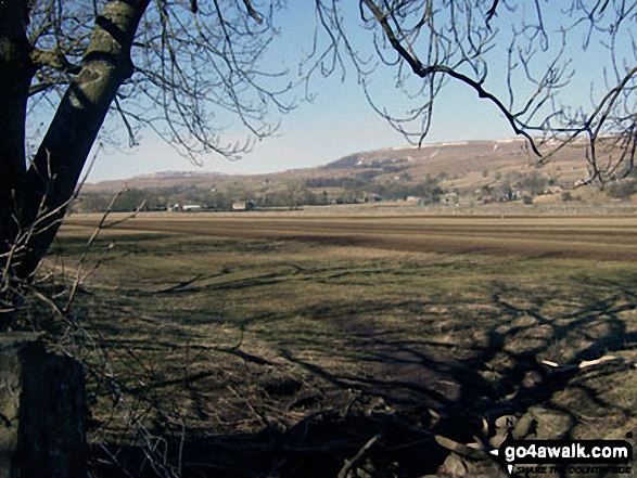
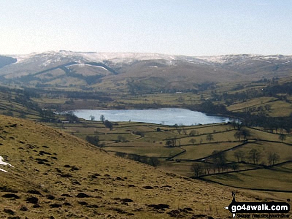
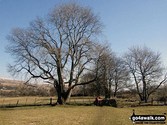
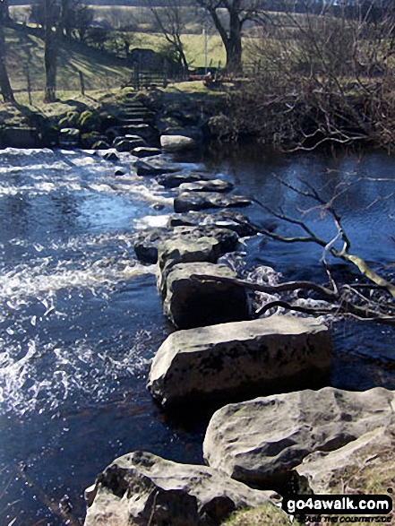
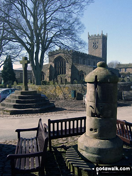
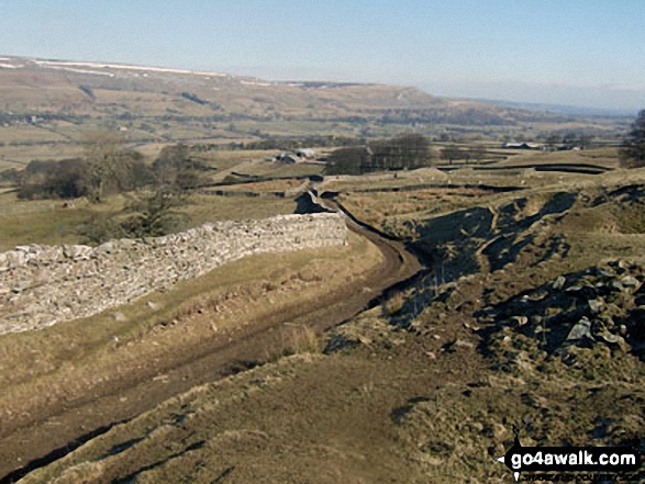
Some Photos and Pictures from Walk ny114 Addlebrough via Worton Pasture from Askrigg, Wensleydale
In no particular order . . .


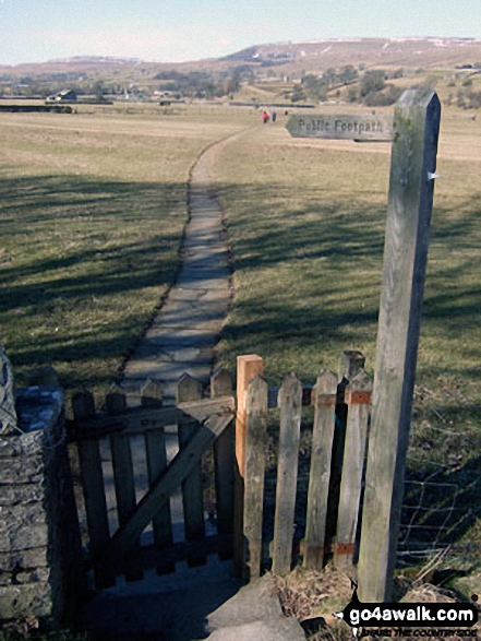
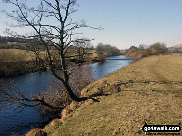
The path back to Askrigg across Askrigg Bottoms from Worton Bridge over the River Ure

Send us your photographs and pictures from your walks and hikes
We would love to see your photographs and pictures from walk ny114 Addlebrough via Worton Pasture from Askrigg, Wensleydale. Send them in to us as email attachments (configured for any computer) along with your name and where the picture was taken to:
and we shall do our best to publish them.
(Guide Resolution = 300dpi. At least = 660 pixels (wide) x 440 pixels (high).)

You can also submit photos from walk ny114 Addlebrough via Worton Pasture from Askrigg, Wensleydale via our Facebook Page.
NB. Please indicate where each photo was taken.

To contribute to go4awalk.com or to contact us about anything at all - see Talk To Us.
For help see Help.
go4awalk.com and go4awalk.co.uk are registered trademarks of TMDH Limited.
Copyright © 2000-2026 TMDH Limited. All rights reserved.
Copyright Terms & Conditions Privacy Statement
A - Z Walks Home Log On/Accounts Photo Gallery Walk Ideas and Collections Fell Facts Hill Skills Walking Questions and Answers Your Stories News Competitions Product Reviews/Gear Tests Walking Gear Guides Peaks and Mountains Peak Bagging Find New Walking Friends Camping GPS Waypoints for Walking Contents Walk Search Talk To Us go4awalk.com Help Free Example Walks Newsletter


