Walk d112 Lantern Pike from Hayfield
This 4¾ mile, Grade 3 (Easy), easy-to-follow, hand-crafted walk, complete with GPS Waypoints, starts at Hayfield & will take about 2¾ hrs to complete.
   |
Vital Statistics:
| Length: | 4¾mls (7.5km) |
| Ascent: | 899ft (274m) |
| Time: | 2¾hrs |
| Grade: |  |
Route outline for walk d112:
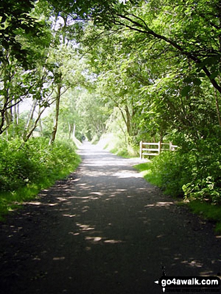
Hayfield - Sett Valley Trail - Birch Vale - The River Sett - The Pennine Bridleway - Lantern Pike - Hey Wood - Little Hayfield - Sett Valley Trail - Hayfield
Peaks, Summits and Tops reached on this walk:
 0 English Mountains |
 0 Wainwrights |
 0 English Nuttalls |
 0 English Deweys |
 0 Wainwright Outlying Fells |
 0 Marilyns |
 1 Bridget |
Peak Bagging Statistics for this walk:
The highest point of this walk is Lantern Pike at 373m (1224ft). Lantern Pike is known as an English Bridget.
You can find this walk and other nearby walks on these unique Interactive Walk Planning Maps:
(worth a look if you're new to go4awalk.com & have never seen one of these before.)
1:25,000 scale OS Explorer Map (orange/yellow covers):
1:50,000 scale OS Landranger Map (pink/magenta covers):
Some Photos and Pictures from Walk d112 Lantern Pike from Hayfield
In no particular order . . .
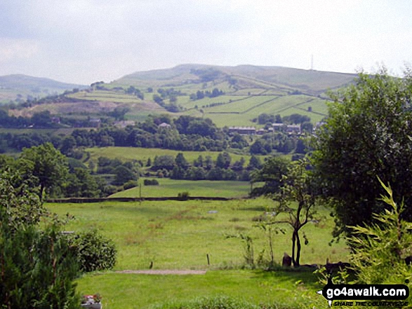
Chinley Churn above Birch Vale and The Sett Valley Trail from
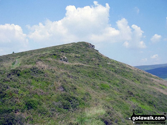
The Pennine Bridleway on the lower slopes of Lantern Pike

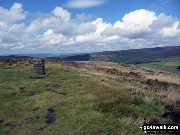
Lantern Pike summit with Mill Hill (Ashop Head), Kinder Scout and
Chinley Churn and Hayfield beyond
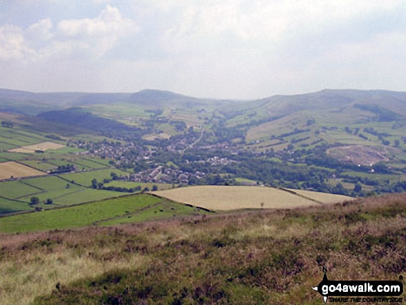
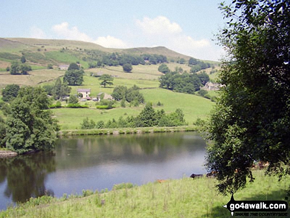
Mill Hill (Ashop Head), Kinder Scout and Chinley Churn with Hayfield nestling below from Lantern Pike


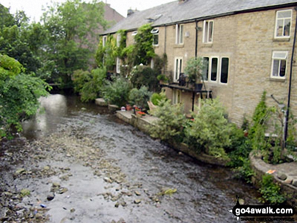
The River Sett under a blanket of Water Lilies beside The Sett Valley Trail near Hayfield


Send us your photographs and pictures from your walks and hikes
We would love to see your photographs and pictures from walk d112 Lantern Pike from Hayfield. Send them in to us as email attachments (configured for any computer) along with your name and where the picture was taken to:
and we shall do our best to publish them.
(Guide Resolution = 300dpi. At least = 660 pixels (wide) x 440 pixels (high).)

You can also submit photos from walk d112 Lantern Pike from Hayfield via our Facebook Page.
NB. Please indicate where each photo was taken.
To contribute to go4awalk.com or to contact us about anything at all - see Talk To Us.
For help see Help.
go4awalk.com and go4awalk.co.uk are registered trademarks of TMDH Limited.
Copyright © 2000-2026 TMDH Limited. All rights reserved.
Copyright Terms & Conditions Privacy Statement
A - Z Walks Home Log On/Accounts Photo Gallery Walk Ideas and Collections Fell Facts Hill Skills Walking Questions and Answers Your Stories News Competitions Product Reviews/Gear Tests Walking Gear Guides Peaks and Mountains Peak Bagging Find New Walking Friends Camping GPS Waypoints for Walking Contents Walk Search Talk To Us go4awalk.com Help Free Example Walks Newsletter


