UK Postcode LS22 - The 30 nearest easy-to-follow, circular walk route maps to you
The thirty nearest easy-to-follow, circular walk route maps to you in UK Postcode LS22 in Walk Grade Order
The UK cities, towns and villages in North Yorkshire, England that have LS22 in their UK Postcode include:
• Bickerton • Collingham • Cowthorpe • Hunsingore • Kirk Deighton • Linton • Little Ribston • North Deighton • Sicklinghall • Wetherby •
Not familiar with the area around LS22?
See these 30 nearest walks to UK Postcode LS22 on a google map

   |
Vital Statistics:
| Length: | 6.75 miles (11 km) |
| Ascent: | 696ft (212m) |
| Time: | 3.25hrs |
| Grade: |  |
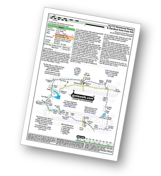
Route Summary:
Cote Hill - The Leeds Country Walk - Harewood Gardens - Lodge Hills - Nan Pie - Grey Stone Pasture - New Bridge - Piper Wood - Stub House Plantation - The Ebor Way - Carr House - Carr Wood - Stank - Harewood House - Home Farm - The Grove - Harewood - Maltkin House - New Laithe Farm - Cut Whin Wood - Hollin Hall - Hollin Hall Pnds - Wike Wood - Cote Hill


|
Vital Statistics:
| Length: | 4.75 miles (7.5 km) |
| Ascent: | 880ft (268m) |
| Time: | 2.75hrs |
| Grade: | |
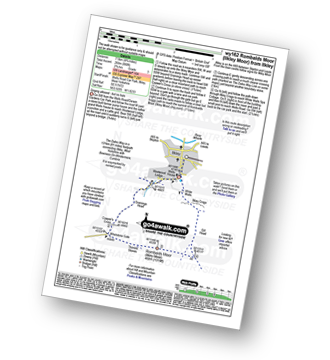
Route Summary:
Ilkley - The Dales Way - Grainings Head - Cowper's Cross - Whetstone Gate - Rombalds Moor (Ilkley Moor) - The Dales Way Link - Gill Head - Ilkley Crags - White Wells - Ilkley

|
Vital Statistics:
| Length: | 6.25 miles (10 km) |
| Ascent: | 935ft (285m) |
| Time: | 3.25hrs |
| Grade: |  |
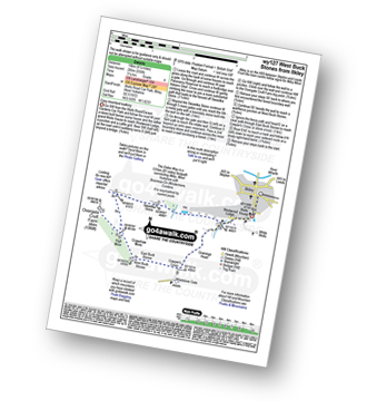
Route Summary:
Ilkley - The Dales Way - Swastika Stone - High Moor - Overgate Croft Farm. West Buck Stones - East Buck Stones - Cowper's Cross - Whetstone Gate - Ilkley Moor - Grainings Head - Ilkley

|
Vital Statistics:
| Length: | 7.75 miles (12.5 km) |
| Ascent: | 1,057ft (322m) |
| Time: | 4 hrs |
| Grade: | |

Route Summary:
Ilkley - The Dales Way - Swastika Stone - High Moor - Overgate Croft Farm - West Buck Stones - East Buck Stones - Cowper's Cross - Whetstone Gate - Rombalds Moor (Ilkley Moor) - The Dales Way Link - Gill Head - Ilkley Crags - White Wells - Ilkley

|
Vital Statistics:
| Length: | 7.25 miles (11.5 km) |
| Ascent: | 210ft (64m) |
| Time: | 3 hrs |
| Grade: |  |

Route Summary:
Wharfedale - Bolton Abbey - The Dales Way - The River Wharfe - Wharfedale - Pickles Beck - Stead Dike - Posforth Gill - Black Sike - Bolton Abbey Aqueduct - Barden Bridge - Bolton Abbey Aqueduct - The Strid - Strid Wood - Cavendish Pavilion - Sand Holme - Bolton Priory - Bolton Abbey - Wharfedale

|
Vital Statistics:
| Length: | 6.25 miles (10 km) |
| Ascent: | 1,355ft (413m) |
| Time: | 3.75hrs |
| Grade: | |
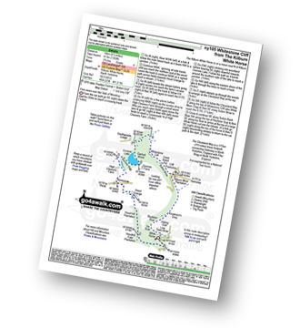
Route Summary:
Kilburn White Horse - Hoodhill Feld Plantation - Hood Hill Plantation - Hood Grange - Kennycow - High Cleavers Farm - Gormire Rigg - Gormire Lake - Southwoods Lodge - Garbutt Wood - The Cleveland Way - Whitestone Cliff - White Mare Crag - Great Relief Pot - Cliff Plantation - Sutton Brow - Sutton Bank - Knowlson's Drop - Roulston Scar - Ivy Scar - Kilburn White Horse

|
Vital Statistics:
| Length: | 9 miles (14.5 km) |
| Ascent: | 1,805ft (550m) |
| Time: | 5.25hrs |
| Grade: |  |

Route Summary:
Wharfedale - Barden Bridge - The River Wharfe - Wharfedale - The Dales Way - The Strid. Strid Wood - Waterfall Cottage - Posforth Gill - Valley of Desolation - Laund Pasture Plantation - Smithyman Nook - Carncliff Top (Earl Seat) - Nanny Crag - Truckle Crags - Simon's Seat (Wharfedale) - Dalehead Farm - Eastwood Head - Howgill Lodge - The Dales Way - The River Wharfe - Barden Bridge - Wharfedale

|
Vital Statistics:
| Length: | 9 miles (14.5 km) |
| Ascent: | 1,234ft (376m) |
| Time: | 4½ hrs |
| Grade: |  |
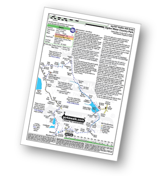
Route Summary:
Ogden Water Country Park - Ogden Water - Great Scar - White Wall End - Thornton Moor - Sawood Moss - Hambleton Top - Little Clough - Great Clough - Nab Hill - Nab Rough - Hollin Hill (Oxenhope Moor) - Old Fly Delph - Withens Head Farm - Cold Edge - Moorlands Farm - Haigh Cote Barn - Moorside - The Calderdale Way - Hough Gate Farm - Hunter Hill - Goose Clough - Stod Fold - Hebble Brook - Ogden Water - Ogden Water Country Park

|
Vital Statistics:
| Length: | 6.5 miles (10.5 km) |
| Ascent: | 1,178ft (359m) |
| Time: | 3½ hrs |
| Grade: | |
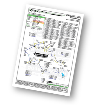
Route Summary:
Oxenhope - Oxenhope Station (The Keighley and Worth Valley Railway) - Upper Hayley Farm - Sawood - Cobling Farm - The Bronte Way - Thornton Moor Reservoir - Sunny Bank - Dike Nook - Lower Fold Farm - Oxenhope

|
Vital Statistics:
| Length: | 13.75 miles (22 km) |
| Ascent: | 2,660ft (811m) |
| Time: | 7½ hrs |
| Grade: |  |
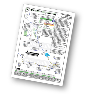
Route Summary:
Embsay - Embsay Reservoir - Embsay Moor - Crookrise Crag Top - Waterfall Gill Beck - Rylstone Fell - Rylstone Cross - Rylstone - Hetton - Flasby - Rough Haw - Sharp Haw - Embsay

|
Vital Statistics:
| Length: | 12 miles (19 km) |
| Ascent: | 2,099ft (640m) |
| Time: | 6½ hrs |
| Grade: | |

Route Summary:
Embsay - Embsay Reservoir - Embsay Moor - Crookrise Crag Top - Waterfall Gill Beck - Rylstone Fell - Rylstone Cross - Watt Crag - Cracoe Fell - Cracoe War Memorial Cross Obelisk - Thorpe Fell Top - Upper Barden Reservoir - Embsay

|
Vital Statistics:
| Length: | 7.5 miles (12 km) |
| Ascent: | 1,492ft (455m) |
| Time: | 4½ hrs |
| Grade: | |
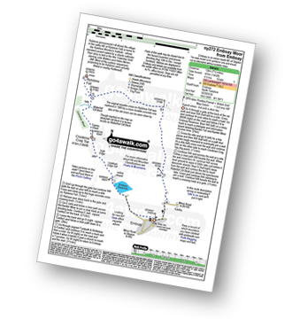
Route Summary:
Embsay - Embsay Reservoir - Embsay Moor - Crookrise Crag Top - Waterfall Gill Beck - Rylstone Fell - Rylstone Cross - Barden Moor - Embsay Moor - Embsay

|
Vital Statistics:
| Length: | 3.5 miles (5.5 km) |
| Ascent: | 738ft (225m) |
| Time: | 2 hrs |
| Grade: | |
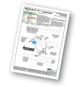

|
Vital Statistics:
| Length: | 11 miles (17.5 km) |
| Ascent: | 1,181ft (360m) |
| Time: | 5.25hrs |
| Grade: | |
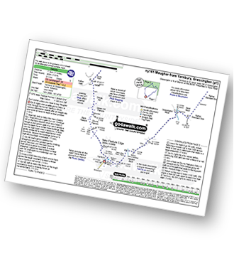
Route Summary:
Yarnbury - Grassington Lead Mines - Duke's New Road (Track) - Hebden Beck - Cupola Corner - Deep Cut - Grassington Moor - Rather Standard Side - Sleet Moor - Rather Standard End - Henstone Band - Meugher Dike - Meugher Drive - Meugher - Friar Hood - Sandy Gate - Sandy Gate Pike Shelter - Mossdale - Mossdale Shooting Lodge - Mossdale Beck - Mossdale Scar - Bycliffe Road (Track) - Bycliffe - Kelber - Seeds Hill - Green Hill Pasture - Back Pasture - Downs Pasture - High Barn (ruin) - New Pasture Edge - Yarnbury

|
Vital Statistics:
| Length: | 8.5 miles (13.5 km) |
| Ascent: | 1,158ft (353m) |
| Time: | 4.25hrs |
| Grade: | |
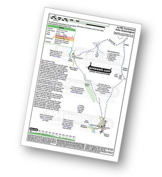
Route Summary:
Grassington - Kimpergill Hill - Downs Pasture - Green Hill Pasture - Seeds Hill - Kelber - Bycliffe Road (Track) - The Dales Way - Bull Scar - Davy Dimple - Conistone - Little Lathe - Dib Dale - Bastow Wood - The Dales Way - Grassington
Not familiar with the area around LS22?
See these 30 nearest walks to UK Postcode LS22 on a google map

|
Vital Statistics:
| Length: | 11.5 miles (18.5 km) |
| Ascent: | 1,017ft (310m) |
| Time: | 5.25hrs |
| Grade: | |
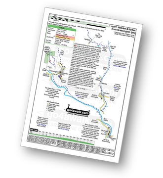
Route Summary:
Grassington - The Dales Way - Lea Green - Old Pasture - Bycliffe Road (Track) - Kelber Gate - Kelber - Seeds Hill - Green Hill Pasture - Downs Pasture - New Pasture Edge - Yarnbury - Hebden Beck - Loss Gill Bank - Cockbur Ford - Bolton Haw Side - The Mere - Rocking Stone - Care Scar,Hole Bottom - Scale Haw - Knowles Lathe - Side Lathe - High Green - Hebden - The River Wharfe - The Dales Way - Linton Falls - Grassington

|
Vital Statistics:
| Length: | 6.75 miles (11 km) |
| Ascent: | 607ft (185m) |
| Time: | 3.25hrs |
| Grade: | |
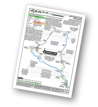
Route Summary:
Grassington - The Dales Way - Bank Lathe - Intake Lathe - Moor Lane - Hebden Beck - Loss Gill Bank - Cockbur Ford - Bolton Haw Side - The Mere - Rocking Stone - Care Scar,Hole Bottom - Scale Haw - Knowles Lathe - Side Lathe - High Green - Hebden - The River Wharfe - The Dales Way - Linton Falls - Grassington

|
Vital Statistics:
| Length: | 7.5 miles (12 km) |
| Ascent: | 876ft (267m) |
| Time: | 3½ hrs |
| Grade: | |
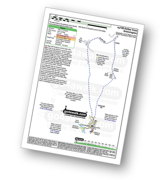
Route Summary:
Grassington - Kimpergill Hill - Downs Pasture - Green Hill Pasture - Seeds Hill - Kelber - Bycliffe Road (Track) - The Dales Way - Old Pasture - Lea Green - Grassington

|
Vital Statistics:
| Length: | 6.5 miles (10.5 km) |
| Ascent: | 647ft (197m) |
| Time: | 3 hrs |
| Grade: | |

Route Summary:
Nidderdale - Scar House Reservoir - River Nidd - Nidderdale - Carle Fell Road (Track) - Stand Sike - Wench Gill - Angram Reservoir - Pudding Hill - West House Pasture - Angram Low Pasture - Stone Beck - Scar House Reservoir - Nidderdale

|
Vital Statistics:
| Length: | 4.75 miles (7.5 km) |
| Ascent: | 571ft (174m) |
| Time: | 2.25hrs |
| Grade: | |
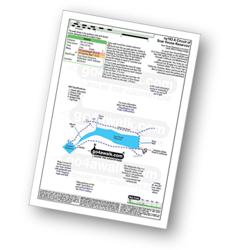
Route Summary:
Nidderdale - Scar House Reservoir - River Nidd - Nidderdale - Carle Fell Road (Track) - Stand Sike - Wench Gill - Angram Reservoir - Scar House Reservoir - Nidderdale

|
Vital Statistics:
| Length: | 10.75 miles (17 km) |
| Ascent: | 2,022ft (616m) |
| Time: | 6 hrs |
| Grade: | |
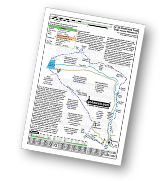
Route Summary:
Nidderdale - Scar House Reservoir - The Nidderdale Way - In Moor Lane - Rain Stang - Middlesmoor - How Stean Beck - How Stean Gorge - River Nidd - Lofthouse - Thorpe Lane - Thorp Farm - Dry Wrath Ford - Limley Farm - Thwaite House - Bracken Ridge - Summerstone Lodge - The Edge - Nidd Cottage - New Houses Edge Farm - Turnacar - Thornet Barn - Twizling Gill - Woo Gill - Carl Fell Road (Track) - River Nidd - Scar House Reservoir - Nidderdale

|
Vital Statistics:
| Length: | 11.5 miles (18.5 km) |
| Ascent: | 1,913ft (583m) |
| Time: | 6.25hrs |
| Grade: | |

Route Summary:
Nidderdale - Scar House Reservoir - Nidderdale - River Nidd - Carle Fell Road - Wench Gill - Little Whernside - Nidd Head - Black Dike Hole - Blackfell Top - Great Whernside - Stone Beck - Angram Reservoir - Scar House Reservoir - Nidderdale

|
Vital Statistics:
| Length: | 5 miles (8 km) |
| Ascent: | 689ft (210m) |
| Time: | 2½ hrs |
| Grade: | |
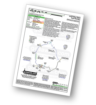
Route Summary:
Hawnby - Hill End House - Moor Gate - Sportsman's Hall - Ladhill Beck - Pepper Hill - Easterside Hill - Wass House - Easterside Farm - Ladhill Beck - Hawnby

|
Vital Statistics:
| Length: | 7.75 miles (12.5 km) |
| Ascent: | 1,264ft (385m) |
| Time: | 4.25hrs |
| Grade: | |

Route Summary:
Midgehole National Trust Car Park - Hebden Bridge - Cromsworth Dean - Abel Cote - Lumb Hole Waterfall - Shackleton Knoll - Walshaw - New Laithe Moor - Holme Ends Bridge - Alcomden Water - Blake Dean - Hardcastle Crags - Gibson Mill - Hebden Water - Midgehole.

|
Vital Statistics:
| Length: | 6.25 miles (10 km) |
| Ascent: | 1,451ft (442m) |
| Time: | 3.75hrs |
| Grade: | |
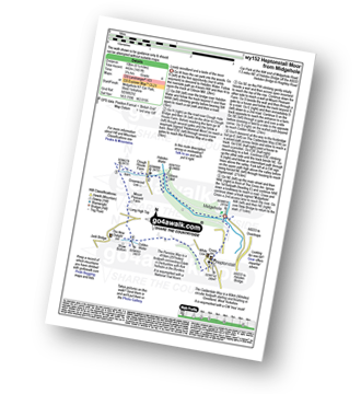
Route Summary:
Midgehole National Trust Car Park - Hebden Bridge - Hebden Water - Gibson Mill - Clough House Farm - Clough Head - The Pennine Way - Mount Pleasant Farm - Colden - Colden Water - The Calderdale Way - Helptonstall - Midgehole.

|
Vital Statistics:
| Length: | 5.25 miles (8.5 km) |
| Ascent: | 1,168ft (356m) |
| Time: | 2.25hrs |
| Grade: | |

Route Summary:
Midgehole National Trust Car Park - Hebden Bridge - Cromsworth Dean - Abel Cote - Lumb Hole Waterfall - Shackleton Knoll - Walshaw - Hardcastle Crags - Gibson Mill - Hebden Water - Midgehole.

|
Vital Statistics:
| Length: | 10.5 miles (17 km) |
| Ascent: | 1,900ft (579m) |
| Time: | 5.75hrs |
| Grade: | |
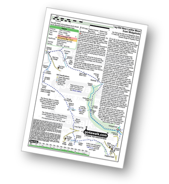
Route Summary:
Midgehole National Trust Car Park - Hebden Bridge - Hebden Water - Gibson Mill - Hardcastle Crags - Walshaw - New Laithe Moor Farm - Alcomden Water - Holme Ends Bridge - The Pennine Way - Widdop Reservoir - Well Hole Cottage - Graining Water - Gorple Cottage - Heptonstall Moor - Clough Head Hill - Mount Pleasant Farm - Colden - Colden Water - The Calderdale Way - Heptonstall - Midgehole.

|
Vital Statistics:
| Length: | 5.75 miles (9 km) |
| Ascent: | 1,113ft (339m) |
| Time: | 3.25hrs |
| Grade: | |

Route Summary:
Hebden Bridge - The Rochdale Canal - Charleston - The Pennine Way - Colden Water - The Calderdale Way - Heptonstall - Hebden Bridge

|
Vital Statistics:
| Length: | 6 miles (9.5 km) |
| Ascent: | 1,152ft (351m) |
| Time: | 3.25hrs |
| Grade: | |

Route Summary:
Holmfirth - Nora Batty's House and Sid's Cafe (Last of The Summer Wine) - Malkin Farm - River Holme - Hinchliffe Mill - Hogley Green - Hogley Farm - Upperthong - Netherthong - Holmfirth

|
Vital Statistics:
| Length: | 7.5 miles (12 km) |
| Ascent: | 1,241ft (378m) |
| Time: | 4 hrs |
| Grade: | |
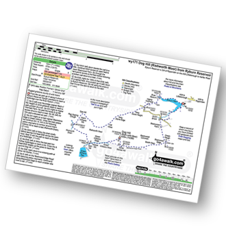
Route Summary:
Ryburn Reservoir - River Ryburn - Higher Wormaid - Grey Stone Height - Cat Moss - Rishworth Moor - Warm Withens Hill - Rishworth Drain - Sam Hill - Green Withens Reservoir - Green Withens Moss - Dog Hill (Rishworth Moor) - Blackwood Edge - Blackwood Farm - Hutch Brook - Ryburn Reservoir
Not familiar with the area around LS22?
See these 30 nearest walks to UK Postcode LS22 on a google map