UK Postcode GU29 - The 30 nearest easy-to-follow, circular walk route maps to you
The thirty nearest easy-to-follow, circular walk route maps to you in UK Postcode GU29 in Walk Grade Order
The UK cities, towns and villages in West Sussex, England that have GU29 in their UK Postcode include:
• Bepton • Cocking • Didling • Easebourne • Heyshott • Iping • Midhurst • Redford • Robins • South Ambersham • Stedham • Treyford • West Lavington • Woolbeding •
Not familiar with the area around GU29?
See these 30 nearest walks to UK Postcode GU29 on a google map
   |
Vital Statistics:
| Length: | 9 miles (14.5 km) |
| Ascent: | 853ft (260m) |
| Time: | 4.25hrs |
| Grade: |  |
Route Summary:
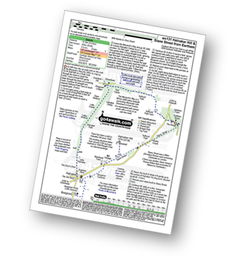
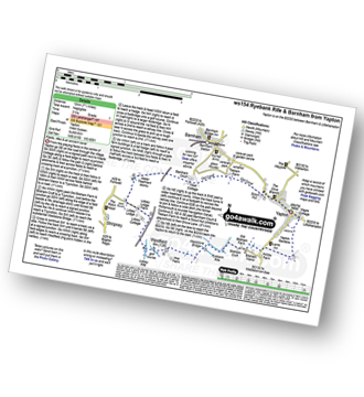
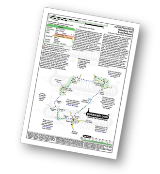
Eartham Woods - The Monarch's Way - Selhurst Park Farm - Red Copse - Chisledown - Eastdean Hill - Pillygreen Lodges - Halnaker Gallop - Open Winkins - Ladys Winkins - Little Copse - Little Halnaker - Halnaker - Boxgrove Priory - Boxgrove Commoon - Warehead Farm - Halnaker Hill - Stane Street (Roman Road) - Bushy Copse - Eartham Woods
|
Vital Statistics:
| Length: | 5 miles (8 km) |
| Ascent: | 522ft (159m) |
| Time: | 2½ hrs |
| Grade: |  |

Route Summary:
Slindon - Park Pale - Slindon Woods - The Reeds - Nore Hill - The Folly (Nore Folly) - Court Hill Farm Slindon.
|
Vital Statistics:
| Length: | 6.5 miles (10.5 km) |
| Ascent: | 850ft (259m) |
| Time: | 3.25hrs |
| Grade: | |
Route Summary:
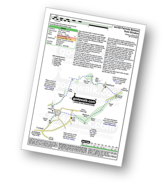
Slindon - Down's Barn - Little Down. Dale Park House - Madehurst - Fairmile Bottom - Rewell Hill - Reweel Hill - Madehurst Wood - Slindon
|
Vital Statistics:
| Length: | 10 miles (16 km) |
| Ascent: | 1,237ft (377m) |
| Time: | 4 hrs |
| Grade: |  |

Route Summary:
Slindon - Park Pale - Slindon Woods - The Reeds - Nore Hill - The Folly (Nore Folly) - Court Hill Farm - Down's Barn - Little Down. Dale Park House - Madehurst - Fairmile Bottom - Rewell Hill - Reweel Hill - Madehurst Wood - Slindon
|
Vital Statistics:
| Length: | 3.75 miles (6 km) |
| Ascent: | 312ft (95m) |
| Time: | 1.75hrs |
| Grade: |  |

Route Summary:
Slindon - Park Pale - Slindon Woods - The Reeds - Row's Bar - Court Hill Farm - Slindon
|
Vital Statistics:
| Length: | 5.25 miles (8.5 km) |
| Ascent: | 994ft (303m) |
| Time: | 3 hrs |
| Grade: | |
Route Summary:
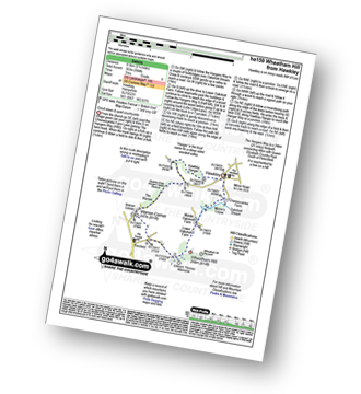
Hawkley - The Hangers Way - Lower Oakshott Farm - Wheatham Hill - Edward Thomas Memorial - Froxfield - Warren Corner - Wealdon Edge Hangers Nature Reserve - Hawkley Hanger - Hawkley
|
Vital Statistics:
| Length: | 5.5 miles (9 km) |
| Ascent: | 630ft (192m) |
| Time: | 2½ hrs |
| Grade: | |
Route Summary:
Amberley Museum - Amberley Railway Station - Houghton Bridge - The River Arun - North Stoke - Camp Hill - The South Downs Way - High Titten - Foxleigh Down - The River Arun - Amberley.
|
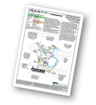
Vital Statistics:
| Length: | 6.25 miles (10 km) |
| Ascent: | 660ft (201m) |
| Time: | 3 hrs |
| Grade: | |

Route Summary:
Amberley Museum - Amberley Railway Station - Houghton Bridge - The River Arun - North Stoke - Camp Hill - The South Downs Way - Amberley Village - Amberley Castle - The River Arun - Amberley.
|
Vital Statistics:
| Length: | 5.5 miles (9 km) |
| Ascent: | 738ft (225m) |
| Time: | 2.75hrs |
| Grade: | |
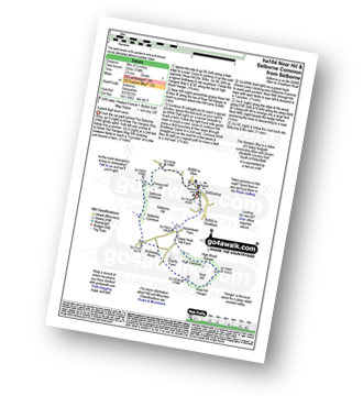
Route Summary:
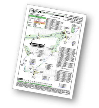
Selborne - The Hangers Way - High Common - High Wood Hanger - Noar Hill - Noar Hill Hanger - Bridleway Wood - Selborne Common - Coneycroft Hill - Selborne
|
Vital Statistics:
| Length: | 7 miles (11 km) |
| Ascent: | 515ft (157m) |
| Time: | 3 hrs |
| Grade: | |

Route Summary:
Selborne - Dorton - Oakhanger Stream - Oakhanger - Binswood Farm - Shortheath - The Hangers Way - Pheasant Wood - Wick Hill Hanger - High Candovers - Wick Wood - Coombe Wood - Long Lyth - Selborne
|
Vital Statistics:
| Length: | 6.75 miles (11 km) |
| Ascent: | 715ft (218m) |
| Time: | 3.25hrs |
| Grade: | |
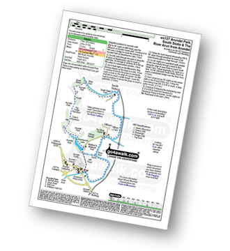
Route Summary:
Arundel - Arundel Castle - Swanbourne Lake - Arundel Park - The Monarch''s Way - Hiorne Tower - Duke's Plantation - Dry Lodge Plantation - South Wood - The River Arun - South Stoke - The River Arun - Offham - Wildfowl Reserve - Arundel
|
Vital Statistics:
| Length: | 4.75 miles (7.5 km) |
| Ascent: | 475ft (145m) |
| Time: | 2½ hrs |
| Grade: | |
Route Summary:
Arundel - Arundel Castle - The River Arun - Wildfowl Reserve - Offham - Offham Hanger - Swanbourne Lake - Arundel Park - The Monarch''s Way - Hiorne Tower - Arundel Cathedral - Arundel Chapel - Arundel Castle - Arundel
|
Vital Statistics:
| Length: | 9 miles (14.5 km) |
| Ascent: | 948ft (289m) |
| Time: | 4.25hrs |
| Grade: | |
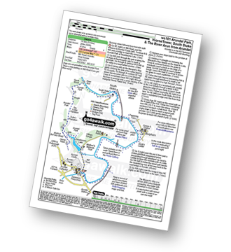
Route Summary:
Arundel - Arundel Castle - Swanbourne Lake - Arundel Park - The Monarch''s Way - Hiorne Tower - Duke's Plantation - Dry Lodge Plantation - South Wood - The River Arun - South Stoke - Burpham - Arundel
|
Vital Statistics:
| Length: | 6.25 miles (10 km) |
| Ascent: | 40ft (12m) |
| Time: | 2.25hrs |
| Grade: |  |
Route Summary:
Yapton - Yapton Gardens - Bilsham - Ryebank Rife - Weststone Bridge - Westfield - Lidsey Rife - The Portsmouth and Arundel Navigation Canal - Tilebarn Farm - Barnham - Yapton
|
Vital Statistics:
| Length: | 7.75 miles (12.5 km) |
| Ascent: | 932ft (284m) |
| Time: | 3.75hrs |
| Grade: | |
Route Summary:
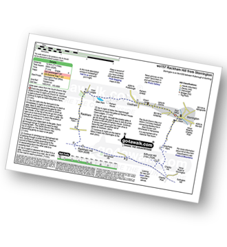
Storrington - Greyfriars Farm - Chantry Hill - Kithurst Hill - The South Downs Way - Springhead Hill - Rackham Hill - Rackham - Parham House - Cootham - Storrington
Not familiar with the area around GU29?
See these 30 nearest walks to UK Postcode GU29 on a google map
|
Vital Statistics:
| Length: | 3.5 miles (5.5 km) |
| Ascent: | 16ft (5m) |
| Time: | 1½ hrs |
| Grade: | |
Route Summary:
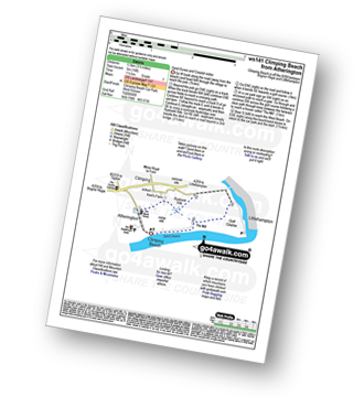
Climping Beach - Atherington - Kent's Farm - Ryebank Rife - River Arun - Littlehampton - Littlehampton Harbour - The Mill - Climping - Climping Beach
|
Vital Statistics:
| Length: | 5.5 miles (8.5 km) |
| Ascent: | 263ft (80m) |
| Time: | 2.25hrs |
| Grade: | |
Route Summary:
Chawton - Alton - Jane Austen's House Museum - The St Swithun's Way - Lower Farringdon - Upper Farringdon - Caker Stream - Round Groves Copse - Peck Copse - Shepherd's Court - Eastfield Farm - Chawton
|
Vital Statistics:
| Length: | 7.5 miles (12 km) |
| Ascent: | 673ft (205m) |
| Time: | 3.75hrs |
| Grade: | |

Route Summary:
Chawton - Alton - Jane Austen's House Museum - The St Swithun's Way - Park Cottage - Upper Woodside Farm - New Copse - Dell Piece - Weathermore Copse - Medstead and Four Marks - Watercress Railway Line - Chawton Park Wood - Alton - Chawton
|
Vital Statistics:
| Length: | 6 miles (9.5 km) |
| Ascent: | 262ft (80m) |
| Time: | 2½ hrs |
| Grade: | |

Route Summary:
Ashington - Mitchbourne Farm - Greenhurst Farm - Abingworth - Thakeham - Warminghurst - Ashington
|
Vital Statistics:
| Length: | 5 miles (8 km) |
| Ascent: | 374ft (114m) |
| Time: | 2.25hrs |
| Grade: | |

Route Summary:
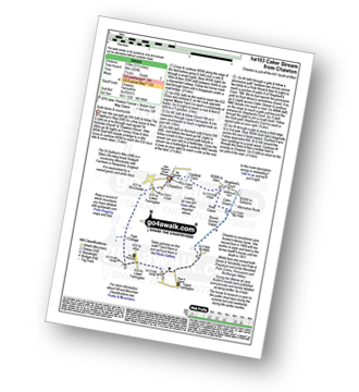
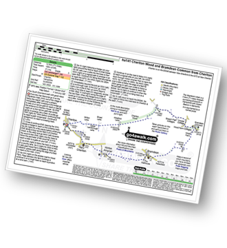
Bramdean - Alresford Lane - Cheriton Wood - Copwer Cottage - Bramdean Common - Wood Farm - Bramdean
|
Vital Statistics:
| Length: | 5.5 miles (9 km) |
| Ascent: | 1,001ft (305m) |
| Time: | 3 hrs |
| Grade: | |
Route Summary:
Ewhurst - Coneyhurst Gill - Rapsley Farm - Pitch Hill - The Greensand Way - Duke of Kent School - Holmbury Hill - Radnor Place Farm - Ewhurst
|
Vital Statistics:
| Length: | 3.75 miles (6 km) |
| Ascent: | 689ft (210m) |
| Time: | 2.25hrs |
| Grade: | |
Route Summary:
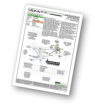
Steyning - Spring Meadows Farm - The South Downs Way - Steyning Round Hill - The Monarch's Way - Pepperscoombe Farm - Steyning
|
Vital Statistics:
| Length: | 7.75 miles (12.5 km) |
| Ascent: | 610ft (186m) |
| Time: | 3½ hrs |
| Grade: | |
Route Summary:
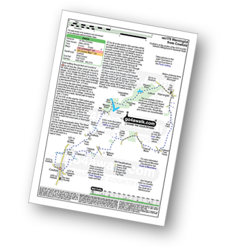
Cheriton - The Wayfarer's Walk - Hinton Lane - Upper Lamborough Lane - Broad Lane - Cheriton Wood - Alresford Lane - Copwer Cottage - Bramdean Common - Wood Farm - Bramdean - Hinton Ampner - New Cheriton - Cheriton
|
Vital Statistics:
| Length: | 5 miles (8 km) |
| Ascent: | 387ft (118m) |
| Time: | 2.25hrs |
| Grade: | |

Route Summary:
Cheriton - The Wayfarer's Walk - Hinton Lane - Upper Lamborough Lane - Broad Lane - Cheriton Wood - Alresford Lane - New Cottages - Bramdean House - Bramdean - Hinton Ampner - New Cheriton - Cheriton
|
Vital Statistics:
| Length: | 7.5 miles (12 km) |
| Ascent: | 1,175ft (358m) |
| Time: | 4 hrs |
| Grade: | |
Route Summary:
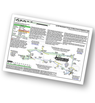
St Martha's Hill Car Park - Pilgram's Way - Newbarn Farm - Water Lane Cottages - Timber Croft - Silver Wood - Shere - Netley Plantation Hollister Farm - The North Downs Way - West Hanger - Chantry Wood - The Boxwood - Clandon Downs - Newlands Corner - Albury Downs - Merrow Downs - White Lane Farm - Keepers Cottage - St Martha's Hill - St Martha's Hill Car Park
|
Vital Statistics:
| Length: | 5.5 miles (8.5 km) |
| Ascent: | 3ft (136m) |
| Time: | 2½ hrs |
| Grade: | |
Route Summary:
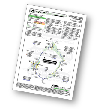
Wickham - Castle Farm - Wickham Common - Mellishes Bottom - Pillgrims' Way - Hundred Acres - Forest of Bere West Walk - Close Wood - Northfields Farm - Wickham
|
Vital Statistics:
| Length: | 10.25 miles (16.5 km) |
| Ascent: | 1,933ft (589m) |
| Time: | 5.75hrs |
| Grade: |  |
Route Summary:
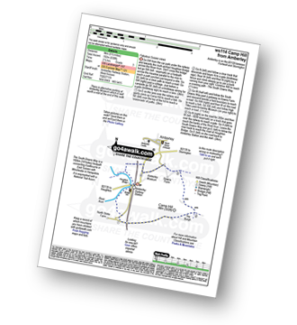
Holmbury St Mary - The Greensand Way - Holmbury Hill - Radnor Place Farm - Ewhurst - Rapsley Farm - Pitch Hill - Winterfold Hill - Winterfold Wood - Hurt Wood - Holmbury St Mary
|
Vital Statistics:
| Length: | 8.25 miles (13 km) |
| Ascent: | 1,634ft (498m) |
| Time: | 4½ hrs |
| Grade: | |
Route Summary:
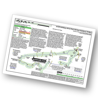
Holmbury St Mary - The Greensand Way - Holmbury Hill - Duke of Kent School - Pitch Hill - Winterfold Hill - Winterfold Wood - Hurt Wood - Holmbury St Mary
|
Vital Statistics:
| Length: | 5.5 miles (9 km) |
| Ascent: | 945ft (288m) |
| Time: | 3 hrs |
| Grade: | |

Route Summary:
Silent Pool Car Park - Sherbourne Pond - Silent Pool - The Boxwood - Clandon Downs - Newlands Corner - Albury Downs - Merrow Downs - White Lane Farm - Keepers Cottage - St Martha's Hill - Pilgram's Way - Newbarn Farm - Water Lane Cottages - Timber Croft - Albury St - Silent Pool Car Park
|
Vital Statistics:
| Length: | 9 miles (14.5 km) |
| Ascent: | 951ft (290m) |
| Time: | 4 hrs |
| Grade: | |
Route Summary:
Cowfold - Brook House - Picts Farm - Graffields - Hookland Farm - Bushy Platts - Minepits Woods - New Pond - Furnace Pond - Leonardslee Estate - Freechase Hill - William's Wood - Stonedelf - Warninglid - Rout Farm - Colwood Park House - Colwwod Manor - Earwig Lane - Bull's Wood - Long House Farm - aWallhurst Manor - Cowfold
Not familiar with the area around GU29?
See these 30 nearest walks to UK Postcode GU29 on a google map


