|
Vital Statistics:
| Length: | 7½mls (12km) |
| Ascent: | 673ft (205m) |
| Time: | 3¾hrs |
| Grade: |  |

Route outline for walk ha123:
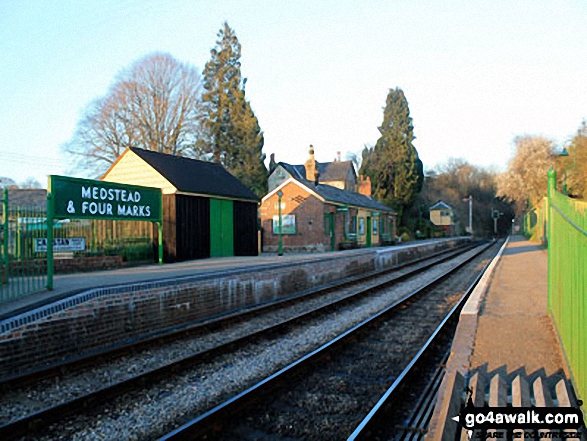
Chawton - Alton - Jane Austen's House Museum - The St Swithun's Way - Park Cottage - Upper Woodside Farm - New Copse - Dell Piece - Weathermore Copse - Medstead and Four Marks - Watercress Railway Line - Chawton Park Wood - Alton - Chawton


Points of Interest/Notes on this walk:
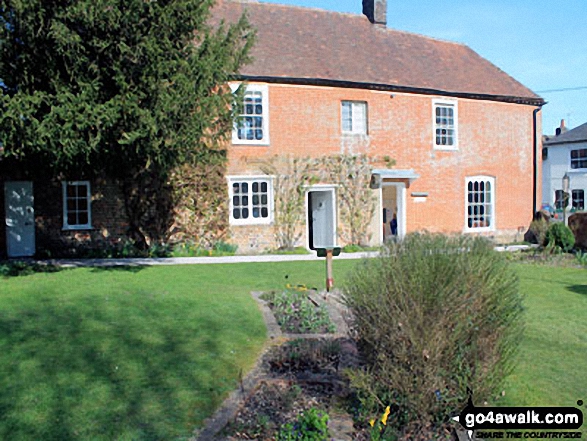
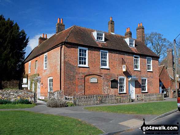
Chawton is considered Jane Austen's literary home. She moved here in 1809 with her mother & sister and lived in the former bailiff's house until her death in 1817. Whilst here she revised both Sense & Sensibility and Pride & Prejuduce and wrote Mansfield Park, Emma, Persuasion and Northanger Abbey. During her lifetime all Jane Austin's novels were published anonymously and merely labelled as being written 'by a lady'. The house & museum is open to the public most days during the summer but only weekends during the winter months.
National Trails & Long Paths included on this walk:
Part of this walk follows a section of The St Swithun's Way, a 55km (34 miles) linear footpath connecting Winchester in Hampshire, with Farnham in Hampshire, England. The St Swithun's Way is waymarked by named green and white discs. For more walks that include a section of this trail see The St Swithun's Way.
You can find this walk and other nearby walks on these unique free-to-access Interactive Walk Planning Maps:
1:25,000 scale OS Explorer Maps (orange/yellow covers):
An Interactive Walk Planning Map for OS Explorer OL32 Winchester is not currently available
An Interactive Walk Planning Map for OS Explorer OL33 Haslemere & Petersfield is not currently available
1:50,000 scale OS Landranger Map (pink/magenta covers):
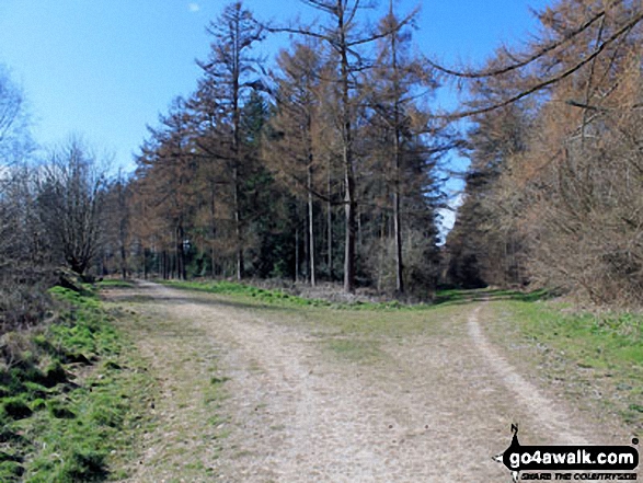
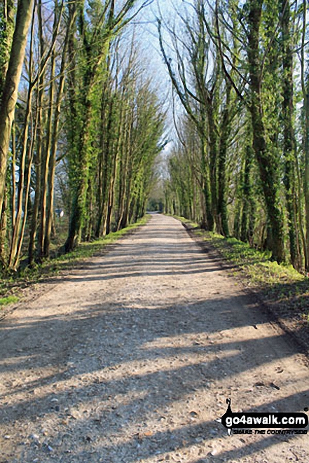
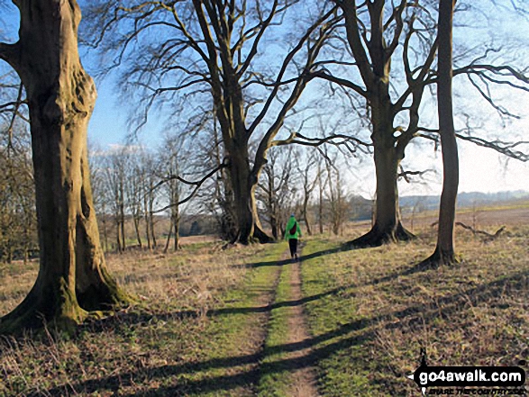
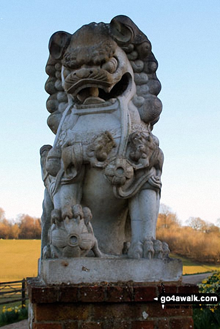
Some Photos and Pictures from Walk ha123 Four Marks and Chawton Park Wood from Chawton
In no particular order . . .



Send us your photographs and pictures from your walks and hikes
We would love to see your photographs and pictures from walk ha123 Four Marks and Chawton Park Wood from Chawton. Send them in to us as email attachments (configured for any computer) along with your name and where the picture was taken to:
and we shall do our best to publish them.
(Guide Resolution = 300dpi. At least = 660 pixels (wide) x 440 pixels (high).)

You can also submit photos from walk ha123 Four Marks and Chawton Park Wood from Chawton via our Facebook Page.
NB. Please indicate where each photo was taken.