Nine easy to follow pub walks from The Rambler Inn, Edale, The Peak District, Derbyshire, England
To reach The Rambler Inn, Edale, in-car SatNav users should select the Latitude/Longitude (Lat Lon) screen and enter:
Lat = N53.36551 and Lon = W 1.81692
Not familiar with this pub?
Nine easy to follow pub walks from The Rambler Inn, Edale, The Peak District, Derbyshire, England
Scroll down the list of walks below & click on each walk title (in blue) to locate it on the map above.

   |
Vital Statistics:
| Length: | 3 miles (5 km) |
| Ascent: | 951ft (290m) |
| Time: | 2 hrs |
| Grade: |  |

Route Summary:
Edale - Small Clough - Hardenclough Farm - Greenlands - Mam Tor - Hollins Cross - Hollins - The Vale of Edale - Edale


|
Vital Statistics:
| Length: | 7 miles (11 km) |
| Ascent: | 1,044ft (318m) |
| Time: | 3½ hrs |
| Grade: |  |
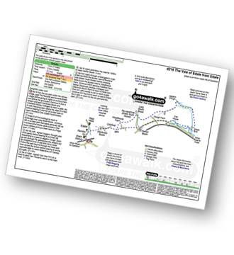
Route Summary:
Edale - Ollerbrook Booth - Rowland Cote (Edale Youth Hostel) - Lady Brook Booth - Nether Moor - Backside Wood - Jaggers Clough - Edale End - Carr House - Nether Booth - Ollerbrook Booth - The Vale of Edale - Edale

|
Vital Statistics:
| Length: | 8.25 miles (13 km) |
| Ascent: | 1,812ft (552m) |
| Time: | 4.75hrs |
| Grade: |  |
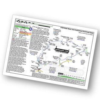
Route Summary:
Edale - The Nab - Ringing Roger - Edale Moor (Kinder Scout) - Madwoman's Stones - Crookstone Knoll (Kinder Scout) - Crookstone Hill - Hope Cross - Jaggers Clough - Backside Wood - Nether Moor - Lady Booth Brook - Rowland Cote (Edale Youth Hostel) - Ollerbrook Booth - The Vale of Edale - Edale

|
Vital Statistics:
| Length: | 8.25 miles (13 km) |
| Ascent: | 1,532ft (467m) |
| Time: | 4½ hrs |
| Grade: | |
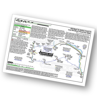
Route Summary:
Edale - Small Clough - Hardenclough Farm - Greenlands - Hollins Cross - Back Tor (Hollins Cross) - Lose Hill (Ward's Piece) - Hope - The River Noe - Normans Farm - Edale End - Carr House - Nether Booth - Ollerbrook Booth - The Vale of Edale - Edale

|
Vital Statistics:
| Length: | 8.25 miles (13 km) |
| Ascent: | 1,860ft (567m) |
| Time: | 4.75hrs |
| Grade: | |

Route Summary:
Edale - The Pennine Way - Upper Booth - Jacob's Ladder (Edale) - Edale Head - Kinder Scout - Edale Moor - Kinder Plateau - Kinder Low (Kinder Scout) - Noe Stool (Edale Head) - Pym Chair (Edale Head) - Crowden Tower (Kinder Scout) - Crowden Brook - Grindslow Knoll (Kinder Scout) - Grindsbrook Clough - Grinds Brook - The Vale of Edale - Edale

|
Vital Statistics:
| Length: | 10.25 miles (16.5 km) |
| Ascent: | 1,585ft (483m) |
| Time: | 5.25hrs |
| Grade: |  |
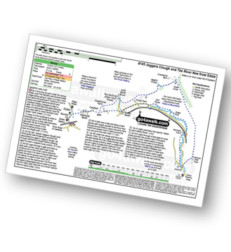
Route Summary:
Edale - Ollerbrook Booth - Rowland Cote (Edale Youth Hostel) - Lady Booth Brook - Nether Moor - Backside Wood - Jaggers Clough - Hope Cross - Fulwood Stile Farm. Hope - The River Noe - Normans Farm - Edale End - Carr House - Nether Booth - Ollerbrook Booth - The Vale of Edale - Edale

|
Vital Statistics:
| Length: | 10.5 miles (17 km) |
| Ascent: | 1,986ft (605m) |
| Time: | 5.75hrs |
| Grade: | |

Route Summary:
Edale - The Pennine Way - Upper Booth - Jacob's Ladder (Edale) - Brown Knoll (Edale) - Colborne (Colbourne) - Chapel Gate Track - Lord's Seat (Rushup Edge) - Mam Tor - Hollins Cross - Edale

|
Vital Statistics:
| Length: | 10.25 miles (16.5 km) |
| Ascent: | 1,870ft (570m) |
| Time: | 5.75hrs |
| Grade: | |

Route Summary:
Edale - The Pennine Way - Upper Booth - Jacob's Ladder (Edale) - Kinder Low (Kinder Scout) - Red Brook - Kinder Downfall - Kinder Scout - Edale Moor - Kinder Plateau - Crowden Head (Kinder Scout) - Grindslow Knoll (Kinder Scout) - Grindsbrook Clough - Grinds Brook - The Vale of Edale - Edale

|
Vital Statistics:
| Length: | 9.25 miles (15 km) |
| Ascent: | 1,919ft (585m) |
| Time: | 5.25hrs |
| Grade: | |
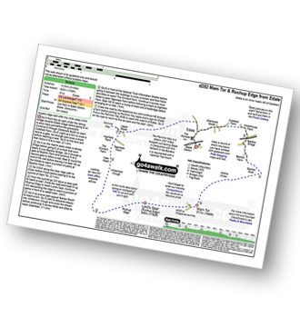
Route Summary:
Edale - Upper Booth - Highfield Farm - Tagsnaze Farm - The Orchard Farm - Dalehead Bunkhouse - Whitemoor Clough - Chapel Gate (Track) - Rushupp Edge - Lord's Seat (Rushup Edge) - Mam Tor - Hollins Cross - Backtor Nook - Backtor Farm - Backtor Bridge - Woodhouse Farm - The Vale of Edale - Cotefield Farm - Ollerbrook Booth - Edale


