29 easy-to-follow walk, route maps of all grades on OS Explorer Map 268 Wilmslow, Macclesfield & Congleton, Altrincham, Knutsford & Sandbach
Twenty-nine easy-to-follow walk, route maps of all grades on OS Explorer Map 268 Wilmslow, Macclesfield & Congleton, Altrincham, Knutsford & Sandbach in Walk Grade OrderTap/mouse over a coloured circle (1-3 easy walks, 4-6 moderate walks, 7-9 hard walks) and click to select.
You can use these checkboxes to show only the grades of walk you are interested in:-
Twenty-nine easy-to-follow walk, route maps of all grades on OS Explorer Map 268 Wilmslow, Macclesfield & Congleton, Altrincham, Knutsford & Sandbach in Walk Grade Order
Scroll down the list of walks below & click on each walk title (in blue) to locate it on the map above.
See this list of walks, routes & maps in:
Grade Order | Length Order | Time Order | Walk Number or Start Location Order
NB. To reverse (toggle) this order, click Grade Order again

   |
Vital Statistics:
| Length: | 7.25 miles (11.5 km) |
| Ascent: | 1,598ft (487m) |
| Time: | 4.25hrs |
| Grade: |  |

Route Summary:
Ridgegate Reservoir - Leather's Smithy - Trentabank Reservoir - Higher Ridgegate - Macclesfield Forest - Shutlingsloe - Wildboarclough - Higher Nabbs Farm - Oaken Clough - Oakenclough Farm - Pot Lords - The Hanging Gate - The Gritstone Trail - Throstles Nest Farm - Ridgegate Reservoir


|
Vital Statistics:
| Length: | 8.75 miles (14 km) |
| Ascent: | 1,050ft (320m) |
| Time: | 4.25hrs |
| Grade: | |

Route Summary:
Alderley Edge - Clock House Farm - Daniel Hill - Daniel Wood - Alder Wood - Hare Hill - Finlow Hill Wood - Clinton Hill - Birtles Hill - Fernhill - Monk's Heath - Yarwoods Farm - Heawood House - Nether Alderley Mill - Nether Alderley - Alderley Edge

|
Vital Statistics:
| Length: | 8.5 miles (13.5 km) |
| Ascent: | 1,690ft (515m) |
| Time: | 4.75hrs |
| Grade: | |
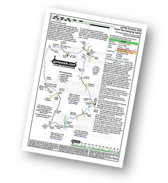
Route Summary:
The Hanging Gate - Pot Lords - High Lee Farm - Withenshaw - Cessbank Common - Longgutter - Lower Greasley Farm - Greasley Hollow - Mareknowles Farm - The Gritstone Trail - Wincle Minn - Golden Slack - Croker Hill - Sutton Common - Foxbank Farm - Higher Sutton - Lowerhouse Farm - The Hanging Gate

|
Vital Statistics:
| Length: | 8.5 miles (13.5 km) |
| Ascent: | 453ft (138m) |
| Time: | 3½ hrs |
| Grade: |  |

Route Summary:
Hale (near Altrincham) - The River Bollin - The Bollin Valley Way - Coppice Farm - Ryecroft Farm - Birkin Farm - Birtles Farm - New Mills - Breach House Farm - Higherhouse Farm - The River Bollin - Ross Mill - Hale.

|
Vital Statistics:
| Length: | 9 miles (14.5 km) |
| Ascent: | 1,208ft (368m) |
| Time: | 4½ hrs |
| Grade: | |

Route Summary:
Timbersbrook - The Gritstone Trail - Pool Bank - The Staffordshire Way - Folly Cottage - Cloud Plantation - The Cloud (Bosley Cloud) - Avona - The Dane Valley Way - River Dane - The Macclesfield Canal - The Cheshire Ring Canal Walk - Buglawton - Brook House Farm - Pool Bank - Timbersbrook

|
Vital Statistics:
| Length: | 4.5 miles (7 km) |
| Ascent: | 341ft (104m) |
| Time: | 2 hrs |
| Grade: |  |

Route Summary:
Bosley Locks - The Macclesfield Canal - The Cheshire Ring Canal Walk - River Dane Aquaduct - Railway Viaduct - Crossley Farm - Colleymill Bridge - North Rode - North Rode Manor Fish Pond - Station Wood - Big Dogbottom Wood - Bosley Locks

|
Vital Statistics:
| Length: | 6.75 miles (11 km) |
| Ascent: | 370ft (110m) |
| Time: | 3 hrs |
| Grade: | |
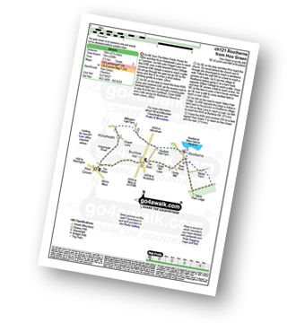
Route Summary:
Hoo Green - Hulseheath - Gorse Barn - Millington Brook - Agden Brook - Denfield Hall Farm - Rostherne Brook - Rostherne - Rostherene Mere Nature Reserve - Marsh Farm - Rostherne - Cicely Mill - Bucklow Hill - Hulseheath - Hoo Green

|
Vital Statistics:
| Length: | 6.5 miles (10.5 km) |
| Ascent: | 167ft (51m) |
| Time: | 2.75hrs |
| Grade: | |
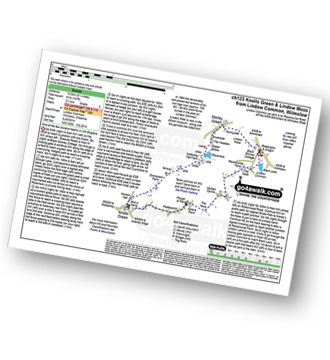
Route Summary:
Lindow Common - Wilmslow - Lindow Moss - Morley Green - Rossmere - Saltersley Hall Farm - Mobberley Golf Club - Graveyard Farm - Knolls Green - Paddockhill - Plough and Flail - Racecourse Farm - Lindow Common - Wilmslow.

|
Vital Statistics:
| Length: | 4.5 miles (7 km) |
| Ascent: | 66ft (20m) |
| Time: | 1½ hrs |
| Grade: |  |

Route Summary:
Oakgrove - The Macclesfield Canal - The Cheshire Ring Canal Walk - Gawsworth - Oakgrove

|
Vital Statistics:
| Length: | 9.5 miles (15 km) |
| Ascent: | 358ft (109m) |
| Time: | 3.75hrs |
| Grade: | |
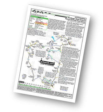
Route Summary:
Over Peover - Peover Hall - Great Wood - Peover Eye - Woodend Farm - Blackden Heath - Redlion Brook - Goostrey - The Bongs - Swanwick Hall Farm - Booth Bed Lane - Boots Green - Meadowbank Farm - Long Lane - Peover Hall - Peover Hall Church - Peover Village Hall - Over Peover

|
Vital Statistics:
| Length: | 5.5 miles (9 km) |
| Ascent: | 499ft (152m) |
| Time: | 2.75hrs |
| Grade: | |

Route Summary:
Twinnies Bridge - Wilmslow - Moss Grove Farm - Morely - The River Bollin - Styal Country Park - Giant's Castle Bridge - Oxbrow Bridge - Kingfisher Bridge - Norcliffe Church - Styal Cross - Styal - Quarry Bank Mill - Twinnies Bridge - Wilmslow.

|
Vital Statistics:
| Length: | 4 miles (6.5 km) |
| Ascent: | 791ft (241m) |
| Time: | 2.25hrs |
| Grade: | |
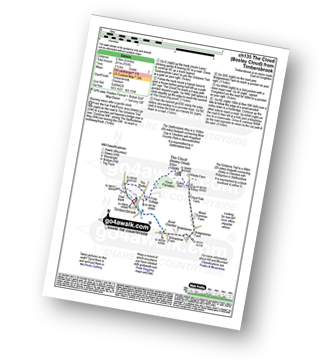
Route Summary:
Timbersbrook - The Gritstone Trail - Pool Bank - The Staffordshire Way - Folly Cottage - Cloud Plantation - The Cloud (Bosley Cloud) - Avona - Cloud Side Farm - Bridgestones Farm - Bridestones Burial Chamber - Timbersbrook

|
Vital Statistics:
| Length: | 5.75 miles (9 km) |
| Ascent: | 354ft (108m) |
| Time: | 2½ hrs |
| Grade: | |
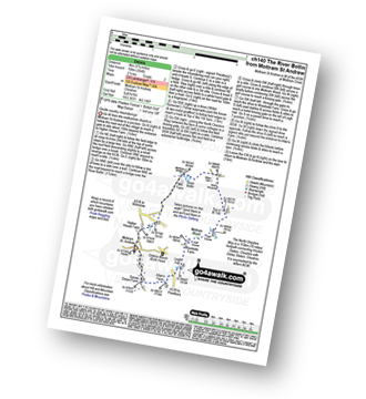
Route Summary:
Mottram St Andrew - River Bollin - Willot Nurseries - Top O' Th' Hill Farm - Mottram Hall Golf Course - Mottram Hall - Woodside Farm - Legh Hall - Hunters Pool - Goose Green Farm - Mottram St Andrew

|
Vital Statistics:
| Length: | 7.5 miles (12 km) |
| Ascent: | 197ft (60m) |
| Time: | 3 hrs |
| Grade: | |
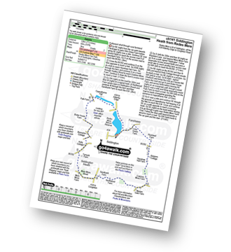
Route Summary:
Redes Mere - Redes Mere Nature Reserve - Fanshawe - Hills Green Farm - Hazelwall Farm - Henshaw Hall Farm - Heskey Wood - Snape Brook - Moss Wood - Crabtree Moss Farm - Marton Gate Farm - Northwood Farm - Sandbank Farm - Mere Moss Wood - Siddington Heath - Holly Cottage - Blake House Farm - Capesthorne Hall - Redes Mere

|
Vital Statistics:
| Length: | 5.5 miles (9 km) |
| Ascent: | 689ft (215m) |
| Time: | 2.75hrs |
| Grade: | |

Route Summary:
Ackers Crossing - The Macclesfield Canal - The Cheshire Ring Canal Walk - Scholar Green - Mount Pleasant - Mow Cop (Old Man of Mow) - The Gritstone Trail - The Staffordshire Way - The South Cheshire Way - Quarry Wood - Hanging Wood - Roe Park - Ackers Crossing

|
Vital Statistics:
| Length: | 7.25 miles (11.5 km) |
| Ascent: | 404ft (123m) |
| Time: | 3 hrs |
| Grade: | |
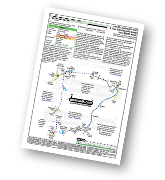
Route Summary:
North Rode - Gawsworth - Oakgrove - The Macclesfield Canal - The Cheshire Ring Canal Walk - Bosley Locks - Big Dogbottom Wood - Station Wood - North Rode Manor Fish Pond - North Rode

|
Vital Statistics:
| Length: | 8.25 miles (13 km) |
| Ascent: | 804ft (245m) |
| Time: | 3.75hrs |
| Grade: |  |

Route Summary:
Ackers Crossing - The Macclesfield Canal - The Cheshire Ring Canal Walk - Little Moreton Hall - Boarded Barn Farm - Rode Mill - Claphatches - Scholar Green - Mount Pleasant - Mow Cop (Old Man of Mow) - The Gritstone Trail - The Staffordshire Way - The South Cheshire Way - Quarry Wood - Hanging Wood - Roe Park - Ackers Crossing

|
Vital Statistics:
| Length: | 7.5 miles (12 km) |
| Ascent: | 1,359ft (414m) |
| Time: | 4.25hrs |
| Grade: | |

Route Summary:
Timbersbrook - The Gritstone Trail - Pool Bank - The Staffordshire Way - Folly Cottage - Cloud Plantation - The Cloud (Bosley Cloud) - Avona - The Dane Valley Way - Raven's Clough - Ravensclough Brook - Rushton Spencer - Oulton - Woodhouse Green - Bridgestones Farm - Bridestones Burial Chamber - Timbersbrook

|
Vital Statistics:
| Length: | 9.25 miles (15 km) |
| Ascent: | 545ft (166m) |
| Time: | 4 hrs |
| Grade: | |
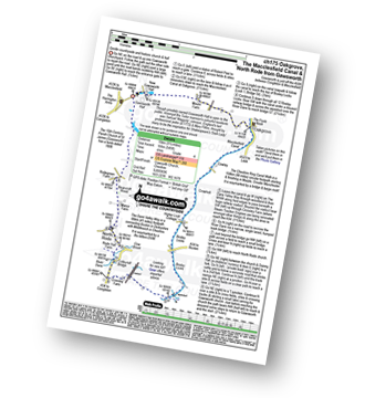
Route Summary:
Gawsworth - Oakgrove - The Macclesfield Canal - The Cheshire Ring Canal Walk - Bosley Locks - River Dane Aquaduct - Railway Viaduct - Crossley Farm - Colleymill Bridge - North Rode - Manor Farm - Beancroft Wood - Rodegreen Farm - Gawsworth

|
Vital Statistics:
| Length: | 9.75 miles (15.5 km) |
| Ascent: | 9ft (409m) |
| Time: | 5 hrs |
| Grade: | |

Route Summary:
Nelson Pit Visitors Centre - Higher Poynton - The Macclesfield Canal - The Cheshire Ring Canal Walk - Wood Lanes - Adlington Basin - Lockgate Farm - The North Cheshire Way - Harrop Brow - Birchencliff Farm - Keeper's Cottage - Dale Top - Sponds Moor - The Gritstone Trail - Sponds Hill - Bowstonegate Farm - Bow Stones - Higher Moor - Lyme Park Country Park - Lantern Wood - The Cage - Lyme Hall - Fallow Deer Park - The Lime Avenue - Lyme Park Car Park - Windgather Farm - Haresteads Farm - Nelson Pit Visitors Centre - Higher Poynton.

|
Vital Statistics:
| Length: | 4.75 miles (7.5 km) |
| Ascent: | 886ft (270m) |
| Time: | 2½ hrs |
| Grade: | |
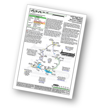
Route Summary:
Ridgegate Reservoir - Langley - Topclose Farm - Macclesfield Forest - Ashtreetop - Warrilowhead Farm - Walker Barn - Tegg's Nose Country Park - Tegg's Nose - Teggsnose Wood - Teggsnose Reservoir - Bottoms Reservoir - Langley - Ridgegate Reservoir

|
Vital Statistics:
| Length: | 4.5 miles (7 km) |
| Ascent: | 266ft (81m) |
| Time: | 2 hrs |
| Grade: | |
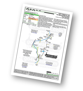
Route Summary:
Gurnett - The Macclesfield Canal - The Cheshire Ring Canal Walk - Oakgrove - Sutton Reservoir - Sutton Grange - Gurnett

|
Vital Statistics:
| Length: | 5.5 miles (9 km) |
| Ascent: | 115ft (35m) |
| Time: | 2.25hrs |
| Grade: | |

Route Summary:
Ackers Crossing - The Macclesfield Canal - The Cheshire Ring Canal Walk - Little Moreton Hall - Boarded Barn Farm - Rode Mill - Claphatches - Scholar Green - The Macclesfield Canal - Ackers Crossing

|
Vital Statistics:
| Length: | 7 miles (11 km) |
| Ascent: | 824ft (251m) |
| Time: | 3.25hrs |
| Grade: | |

Route Summary:
Nelson Pit Visitors Centre - Higher Poynton - The Macclesfield Canal - The Cheshire Ring Canal Walk - Wood Lanes - Adlington Basin - Lockgate Farm - The North Cheshire Way - Harrop Brow - West Parkgate - Lyme Park Country Park - Lyme Park Car Park - The Cage - Lyme Hall - Fallow Deer Park - The Lime Avenue - Lyme Park Car Park - Windgather Farm - Haresteads Farm - Nelson Pit Visitors Centre - Higher Poynton.

|
Vital Statistics:
| Length: | 4 miles (6.5 km) |
| Ascent: | 272ft (83m) |
| Time: | 1.75hrs |
| Grade: | |
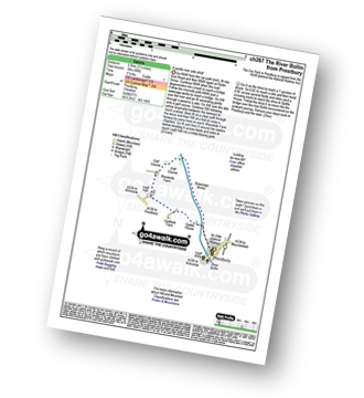
Route Summary:
Prestbury - The River Bollin - The North Cheshire Way - Woodside Farm - Legh Hall - Woodend Farm - Spittle House - Prestbury

|
Vital Statistics:
| Length: | 4.5 miles (7 km) |
| Ascent: | 715ft (218m) |
| Time: | 2½ hrs |
| Grade: | |

Route Summary:
Lyme Park Car Park - Lyme Park Country Park - Pursefield Wood - Paddock Cottage,Knightslow Wood, - Higher Moor - Lantern Wood - The Cage - The North Cheshire Way - Lyme Hall - Lyme Park Car Park

|
Vital Statistics:
| Length: | 7.25 miles (11.5 km) |
| Ascent: | 1,201ft (366m) |
| Time: | 3.75hrs |
| Grade: | |

Route Summary:
Lyme Park Car Park - Crow Wood - Hase Bank Wood - West Parkgate - The North Cheshire Way - Keepers' Cottage - Dale Top - Sponds Moor - The Gritstone Trail - Sponds Hill - Bow Stones - Bowstonegate Farm - Lyme Park Country Park - Lantern Wood - The Cage - Fallow Deer Park - The Lime Avenue - Lyme Park Car Park

|
Vital Statistics:
| Length: | 5.5 miles (8.5 km) |
| Ascent: | 896ft (273m) |
| Time: | 3 hrs |
| Grade: | |
Route Summary:
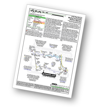
Rushton Spencer - Oulton - Woodhouse Green - Wood Common Farm - Avona - The Staffordshire Way - The Gritstone Trail - The Cloud (Bosley Cloud) - Bosley Cloud - Avona - The Dane Valley Way - Raven's Clough - Ravensclough Brook - Rushton Spencer

|
Vital Statistics:
| Length: | 10 miles (16 km) |
| Ascent: | 1,404ft (428m) |
| Time: | 5 hrs |
| Grade: | |

Route Summary:
Rudyard Reservoir - The Staffordshire Way - Ryecroft Gate - Rushton Spencer - Heaton Lodge Farm - Weathercock Farm - Gun End House - Gun (Staffordshire) - Fould Farm - Fould Villa - Poolend - Willgate Farm - Rudyard - Black Wood - Rudyard Reservoir
See this list of walks, routes & maps in:
Grade Order | Length Order | Time Order | Walk Number or Start Location Order
NB. To reverse (toggle) this order, click Grade Order again





