25 easy-to-follow walk, route maps of all grades on OS Explorer Map OL41 Forest of Bowland & Ribblesdale
Twenty-five easy-to-follow walk, route maps of all grades on OS Explorer Map OL41 Forest of Bowland & Ribblesdale in Walk Grade OrderTap/mouse over a coloured circle (1-3 easy walks, 4-6 moderate walks, 7-9 hard walks) and click to select.
You can use these checkboxes to show only the grades of walk you are interested in:-
Twenty-five easy-to-follow walk, route maps of all grades on OS Explorer Map OL41 Forest of Bowland & Ribblesdale in Walk Grade Order
Scroll down the list of walks below & click on each walk title (in blue) to locate it on the map above.
See this list of walks, routes & maps in:
Grade Order | Length Order | Time Order | Walk Number or Start Location Order
NB. To reverse (toggle) this order, click Grade Order again

   |
Vital Statistics:
| Length: | 5.5 miles (9 km) |
| Ascent: | 1,280ft (390m) |
| Time: | 3½ hrs |
| Grade: |  |
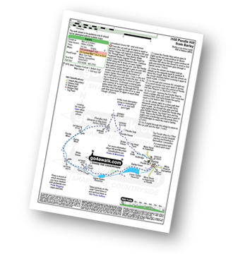
Route Summary:
Barley - Lower Ogden Reservoir - The Pendle Way - Upper Ogden Reservoir - Boar Clough - Ogden Clough - Pendle Moor - Barley Moor - Pendle Hill (Beacon or Big End) - Pendle House - Ing Head Farm - Ing Ends - Barley


|
Vital Statistics:
| Length: | 17.5 miles (28 km) |
| Ascent: | 2,186ft (666m) |
| Time: | 8½ hrs |
| Grade: |  |
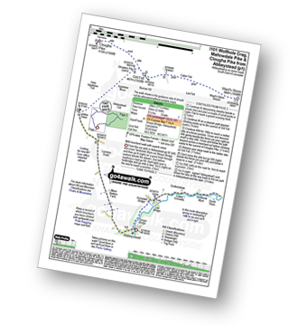
Route Summary:
Abbeystead - Stoops Bridge - Tarnbrook Wyre - Lee - Tarnbrook - Higher Syke - Black Side of Tarnbrook Fell - Gables Clough - Tarnbrook Fell - Brown Syke - Wolfhole Crag - Mallowdale Pike (Mallowdale Fell) - Ward's Stone (Mallowdale Fell) - Ward's Stone Breast - Cabin Flat - Lee Fell - Burrow Fell - Grit Fell - Clougha Pike - Shooters Pile - Appletree Moss - Hare Appletree Fell - Jubilee Tower - Lainsley Slack - Abbeystead

|
Vital Statistics:
| Length: | 3.25 miles (5 km) |
| Ascent: | 131ft (40m) |
| Time: | 1.25hrs |
| Grade: |  |

Route Summary:
Crook o' Lune - Caton - The River Lune - Crook o' Lune Wood - Artle Beck - Waterworks Bridge - Applehouse Wood - Highfield Beck - Crook o' Lune

|
Vital Statistics:
| Length: | 4.75 miles (7.5 km) |
| Ascent: | 1,221ft (372m) |
| Time: | 3 hrs |
| Grade: | |

Route Summary:
Barley - Lower Ogden Reservoir - The Pendle Way - Upper Ogden Reservoir - Boar Clough - Pendle Moor - Barley Moor - Pendle Hill (Beacon or Big End) - Pendle House - Ing Head Farm - Ing Ends - Barley,.

|
Vital Statistics:
| Length: | 7.75 miles (12.5 km) |
| Ascent: | 1,538ft (469m) |
| Time: | 4½ hrs |
| Grade: |  |
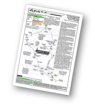
Route Summary:
Fell Foot (nr Chipping) - Parlick - Blindhurst Fell - Wolf Fell - Paddy's Pole (Fair Snape Fell) - Fair Snape Fell - Holme House Fell - Fiendsdale Head - Holme House Farm - Higher Snape Farm - Fell Foot (nr Chipping)

|
Vital Statistics:
| Length: | 12.25 miles (19.5 km) |
| Ascent: | 1,960ft (515m) |
| Time: | 6.25hrs |
| Grade: |  |

Route Summary:
Abbeystead - Stoops Bridge - Tarnbrook Wyre - Lee - Tarnbrook - Higher Syke - Black Side of Tarnbrook Fell - Gables Clough - Tarnbrook Fell - Brown Syke - Mallowdale Pike (Mallowdale Fell) - Ward's Stone (Mallowdale Fell) - Ward's Stone Breast - Cabin Flat - Lee Fell - Grizedale Head - Rotten Hill - Margery's Hill - Higher Lee Farm - Rakehouse Barn - Grizedale Bridge - Abbeystead

|
Vital Statistics:
| Length: | 8 miles (12.5 km) |
| Ascent: | 1,280ft (390m) |
| Time: | 4.25hrs |
| Grade: | |
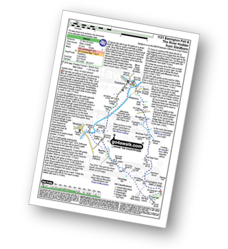
Route Summary:
Slaidburn - King Syke - Broadhead Farm - Easington Brook - Skelshaw Brook - Skelshaw Farm - Fell Side Farm - Harrop Fell - Easington Fell - Old Ned - Old Ned's Wife - Sadler Hill - Smelfthwaite Farm - Meanley Farm - Fowler's Laithe - Newton - River Hodder - Dunnow Hall - Dunnow Lodge - Slaidburn

|
Vital Statistics:
| Length: | 10.5 miles (16.5 km) |
| Ascent: | 1,697ft (499m) |
| Time: | 5½ hrs |
| Grade: | |
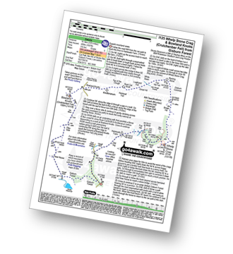
Route Summary:
Gisburn Forest - Halsteads Farm - Fair Hill - Herd Hill - Whelp Stone Crag - Brown Hill - Gisburn Common - Resting Stone - Ash Clough Swamp - Lawkland Fell - Rock Cat Knoll - Halstead Fell - Knotteranum - Crutchenber Fell (Bowland Knotts) - Pike Side - New House - Hasgill Beck - Stocks Reservoir - Gisburn Forest

|
Vital Statistics:
| Length: | 6 miles (9.5 km) |
| Ascent: | 859ft (262m) |
| Time: | 3 hrs |
| Grade: |  |
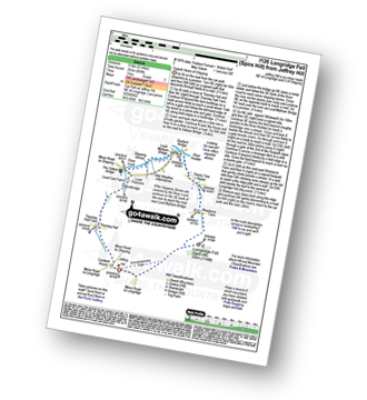
Route Summary:
Jeffrey Hill - Thornley Hall - Gibbon Bridge - River Loud - River Hodder - Weedacre Farm - Longridge Fell (Spire Hill) - Jeffrey Hill

|
Vital Statistics:
| Length: | 8.5 miles (13.5 km) |
| Ascent: | 1,694ft (516m) |
| Time: | 4.75hrs |
| Grade: | |
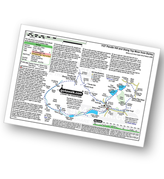
Route Summary:
Barley - Lower Ogden Reservoir - The Pendle Way - Upper Ogden Reservoir - Boar Clough - Ogden Clough - Pendle Moor - Barley Moor - Pendle Hill (Beacon or Big End) - Pendle House - Ing Head Farm - Ing Ends - Barley - Lower Black Moss Reservoir - Upper Black Moss Reservoir - Stang Top Moor - White Hough - Barley

|
Vital Statistics:
| Length: | 7 miles (11 km) |
| Ascent: | 1,224ft (373m) |
| Time: | 3.75hrs |
| Grade: | |
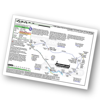
Route Summary:
Cross of Greet Bridge - The River Hodder - Cross of Greet - Great Harlow - Raven's Castle - Crowd Stones - Catlow Fell (Ravens Castle) - Hailshowers Fell - Cold Stone - Copy Nook - Knottend Well - Crutchenber Fell (Bowland Knotts) - Pike Side - Catlow Farm - Kearsdon Holes - The River Hodder - Cross of Greet Bridge

|
Vital Statistics:
| Length: | 10 miles (16 km) |
| Ascent: | 1,597ft (487m) |
| Time: | 5.25hrs |
| Grade: | |
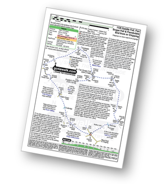
Route Summary:
Fell Foot (nr Chipping) - Wolfen Hall - Saddle End Farm - Ward's End - Saddle Fell - Paddy's Pole (Fair Snape Fell) - Fair Snape Fell - Holme House Fell - Fiendsdale Head - Holme House Farm - Higher Snape Farm - Fell Foot (nr Chipping)

|
Vital Statistics:
| Length: | 3.5 miles (5.5 km) |
| Ascent: | 299ft (91m) |
| Time: | 1½ hrs |
| Grade: |  |
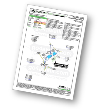
Route Summary:
Barley - Lower Black Moss Reservoir - Upper Black Moss Reservoir - Salt Pie - Foot House Gate - Over Houses - Barley,.

|
Vital Statistics:
| Length: | 10 miles (16 km) |
| Ascent: | 1,267ft (386m) |
| Time: | 5 hrs |
| Grade: | |
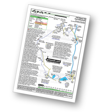
Route Summary:
Salterforth Marina - The Leeds and Liverpool Canal - The Leeds and Liverpool Canal Walk - The Pendle Way - Letcliffe Country Park - Bancroft Mill Engine - Barnoldswick - Weets Hill - Weets House - Hollin Hall - Slipper Hill Reservoir - Lower Foulridge Reservoir - Foulridge - Foulridge Wharf - The Leeds and Liverpool Canal - Salterforth.

|
Vital Statistics:
| Length: | 3.75 miles (6 km) |
| Ascent: | 794ft (242m) |
| Time: | 2.25hrs |
| Grade: | |

Route Summary:
Barley - Barley Green - The Pendle Way - Upper Ogden Reservoir - Fell Wood - Lower Ogden Reservoir - Barley,.

|
Vital Statistics:
| Length: | 6 miles (9.5 km) |
| Ascent: | 1,279ft (390m) |
| Time: | 3½ hrs |
| Grade: | |

Route Summary:
Fell Foot (nr Chipping) - Parlick - Blindhurst Fell - Wolf Fell - Paddy's Pole (Fair Snape Fell) - Fair Snape Fell - Saddle Fell - Ward's End - Saddle End Farm - Wolfen Hall - Fell Foot (nr Chipping)

|
Vital Statistics:
| Length: | 8.75 miles (14 km) |
| Ascent: | 1,615ft (492m) |
| Time: | 5 hrs |
| Grade: | |
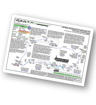
Route Summary:
Cross of Greet Bridge - Near Crosty Clough - Shooters' Huts - Far Costy Clough - White Hill (Forest of Bowland) - Botton Head Hill - Whitray Fell - Cross of Greet - Great Harlow - Raven's Castle - Crowd Stones - Catlow Fell (Ravens Castle) - Hailshowers Fell - Cold Stone - Copy Nook - Knottend Well - Crutchenber Fell (Bowland Knotts) - Pike Side - Catlow Farm - Kearsdon Holes - The River Hodder - Cross of Greet Bridge

|
Vital Statistics:
| Length: | 5.75 miles (9 km) |
| Ascent: | 1,113ft (339m) |
| Time: | 3.25hrs |
| Grade: | |

Route Summary:
Cross of Greet Bridge - Near Crosty Clough - Shooters' Huts - Far Costy Clough - White Hill (Forest of Bowland) - Botton Head Hill - Whitray Fell - Cross of Greet - Cross of Greet Bridge

|
Vital Statistics:
| Length: | 9.75 miles (15.5 km) |
| Ascent: | 1,487ft (453m) |
| Time: | 5 hrs |
| Grade: | |
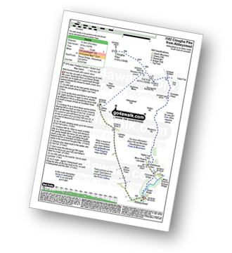
Route Summary:
Abbeystead - Stoops Bridge - Tarnbrook Wyre - LCrizedale Bridge - Rakehouse Barn - Higher Lee Farm - Margery's Hill - Rotten Hill - Grizedale Head - Lee Fell - Burrow Fell - Grit Fell - Clougha Pike - Shooters Pile - Appletree Moss - Hare Appletree Fell - Jubilee Tower - Lainsley Slack - Abbeystead

|
Vital Statistics:
| Length: | 9 miles (14.5 km) |
| Ascent: | 1,132ft (345m) |
| Time: | 4½ hrs |
| Grade: | |
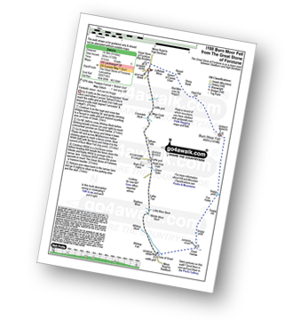
Route Summary:
The Great Stone of Forstone - Moor Cock Farm - Tatham Fells - Bank End Gate - Lyth Fell - Starkers Moor - Whitray Fell - Cross of Greet - Great Harlow - Raven's Castle - Crowd Stones - Thistley Hill - Thistle Hill - Tanstree Cragg - Burn Moor Fell - Hart Pot Gill - Stony Bank - Red Mire Queen of The Fairies Chair - Loftshaw Moss - The Great Stone of Forstone

|
Vital Statistics:
| Length: | 5 miles (8 km) |
| Ascent: | 804ft (245m) |
| Time: | 2½ hrs |
| Grade: | |
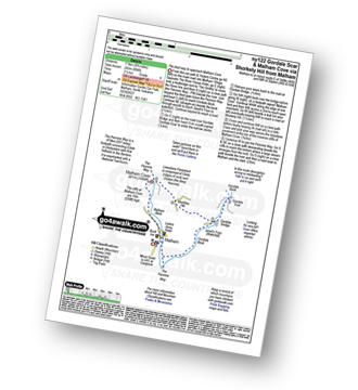
Route Summary:
Malham - The Pennine Way - Gordale Beck - New Laithe - Mantley Field Laithe - Janet's Foss - Gordale Bridge - Gordale Scar - Gordale Bridge - Cawden Flats Barn - Shorkley Hill - Sheriff Hill - Malham Cove - Malham Beck - Malham

|
Vital Statistics:
| Length: | 7.5 miles (12 km) |
| Ascent: | 1,296ft (395m) |
| Time: | 4 hrs |
| Grade: | |

Route Summary:
Malham - The Pennine Way - Gordale Beck - New Laithe - Mantley Field Laithe - Janet's Foss - Gordale Bridge - Gordale Scar - New Close - Seaty Hill - Street Gate - Great Close Scar - Great Close Plantation - Malham Tarn - The Pennine Way - Malham Beck - Water Sinks - Comb Hill - Ing Scar Crag - Watlowes - Malham Cove - Malham

|
Vital Statistics:
| Length: | 8.25 miles (13 km) |
| Ascent: | 1,279ft (390m) |
| Time: | 4.25hrs |
| Grade: | |

Route Summary:
Settle - Constitution Hill - Attermire - Attermire Scar - Victoria Cave - Clay Pits Plantation - Upper Winskill - Catrigg Force (waterfall) - Stainforth - Langcliffe - Settle

|
Vital Statistics:
| Length: | 14 miles (22.5 km) |
| Ascent: | 2,562ft (781m) |
| Time: | 7½ hrs |
| Grade: | |
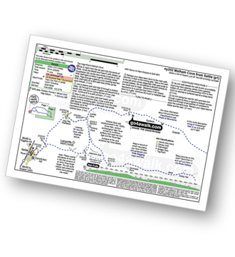
Route Summary:
Settle - Constitution Hill - Attermire Scar - Victoria Cave - Stickdale Farm - Malham - Malham Cove - Limestone Pavement - Watlowes - Langscar Gate - Outside - Gorbeck - Jubilee Cave - Clay Pits Plantation - Settle

| |
Vital Statistics:
| Length: | 4.5 miles (7 km) |
| Ascent: | 977ft (298m) |
| Time: | 2.75hrs |
| Grade: | |

Route Summary:
Settle - Constitution Hill - Attermire - Attermire Scar - Warrendale Knotts - Victoria Cave - Clay Pits Plantation - Blua Crags - Settle
See this list of walks, routes & maps in:
Grade Order | Length Order | Time Order | Walk Number or Start Location Order
NB. To reverse (toggle) this order, click Grade Order again