
![]()
Mam Tor
517m (1696ft)
The Dark Peak Area, The Peak District, Derbyshire, England
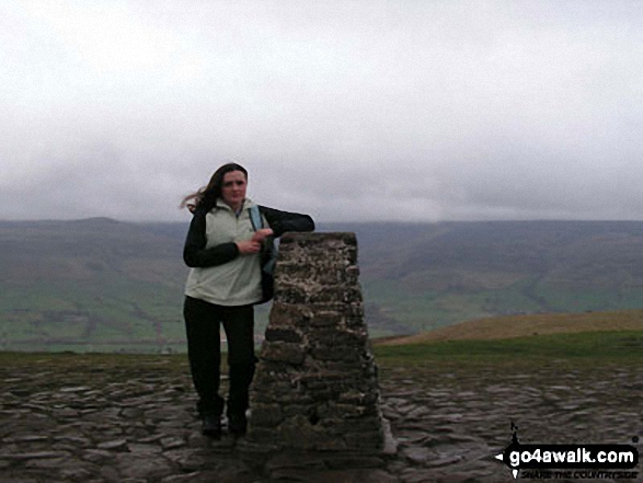
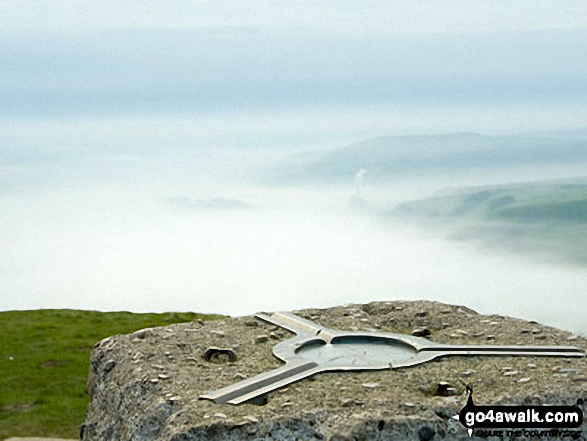
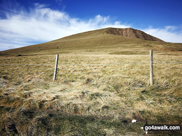
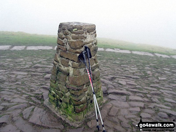
The summit of Mam Tor is marked by an Ordnance Survey Trig Point.
Not familiar with this top?
   |
|---|
Vital Statistics:
| Length: | 3ml (5km) |
|---|---|
| Ascent: | 951ft (290m) |
| Time: | 2 hrs |
| Grade: |  (Easy) (Easy) |

Route Summary:
Edale - Small Clough - Hardenclough Farm - Greenlands - Mam Tor - Hollins Cross - Hollins - The Vale of Edale - Edale
|
|---|
Vital Statistics:
| Length: | 6ml (9.5km) |
|---|---|
| Ascent: | 1,887ft (575m) |
| Time: | 4 hrs |
| Grade: |  (Moderate) (Moderate) |

Route Summary:
Castleton - The Limestone Way - Peveril Castle - Cave Dale - Old Moor - Rowter Farm - Windy Knoll - Mam Tor - Hollins Cross - Backtor Nook - Castleton
|
|---|
Vital Statistics:
| Length: | 9.25ml (15km) |
|---|---|
| Ascent: | 1,919ft (585m) |
| Time: | 5.25hrs |
| Grade: |  (Moderate) (Moderate) |
Route Summary:
Edale - Upper Booth - Highfield Farm - Tagsnaze Farm - The Orchard Farm - Dalehead Bunkhouse - Whitemoor Clough - Chapel Gate (Track) - Rushupp Edge - Lord's Seat (Rushup Edge) - Mam Tor - Hollins Cross - Backtor Nook - Backtor Farm - Backtor Bridge - Woodhouse Farm - The Vale of Edale - Cotefield Farm - Ollerbrook Booth - Edale
|
|---|
Vital Statistics:
| Length: | 10.5ml (17km) |
|---|---|
| Ascent: | 1,986ft (605m) |
| Time: | 5.75hrs |
| Grade: | (Moderate) |

Route Summary:
Edale - The Pennine Way - Upper Booth - Jacob's Ladder (Edale) - Brown Knoll (Edale) - Colborne (Colbourne) - Chapel Gate Track - Lord's Seat (Rushup Edge) - Mam Tor - Hollins Cross - Edale
|
|---|
Vital Statistics:
| Length: | 11.5ml (18.5km) |
|---|---|
| Ascent: | 2,001ft (610m) |
| Time: | 6 hrs |
| Grade: | (Moderate) |
Route Summary:
Castleton - The Limestone Way - Cave Dale - Perry Dale - Sparrowpit - Rushup Farm - Rushup Hall - Rushup Edge - Lord's Seat (Rushup Edge) - Mam Tor - Hollins Cross - Backtor Nook - Castleton
See Mam Tor and the surrounding tops on our free-to-access 'Google Style' Peak Bagging Maps:
The Dark Peak Area of The Peak District National Park
Less data - quicker to download
See Mam Tor and the surrounding tops on our downloadable Peak Bagging Map in PDF format:

NB: Whether you print off a copy or download it to your phone, this PDF Peak Baggers' Map might prove incredibly useful when your are up there on the tops and you cannot get a phone signal.
You can find Mam Tor & all the walks that climb it on these unique free-to-access Interactive Walk Planning Maps:
1:25,000 scale OS Explorer Map (orange/yellow covers):
1:50,000 scale OS Landranger Map (pink/magenta covers):
 Fellow go4awalkers who have already walked, climbed, summited & bagged Mam Tor
Nick Tippins walked up Mam Tor on February 16th, 2020 [with] Fran
David Peebles climbed it on March 30th, 2024 [from/via/route] In layby [with] Solo [weather] Great sunny evening walk - Great walk.
Ruth Mcfarlane bagged it during August, 2020 [from/via/route] Edale [with] Virtual JMMC
hannah1507 hiked Mam Tor on April 7th, 2023 [from/via/route] d162 Brown Knoll (Edale), Lord's Seat (Rushup Edge) & Mam Tor via Jacob's Ladder from Edale [with] Solo
Nina Adams summited on July 25th, 2021 [from/via/route] Castleton - Little Mam Tor - mam Tor - Hollins Cross - Barker Bank - Brockett Booth Plantation - Lose Hill - Losehill End - Townhead bridge - Hope - Castleton [with] Craig [weather] Sunny 28°C
Shirley Philips has conquered it [from/via/route] Castleton Cave Dale
Darin Torrance scaled it on January 13th, 2022 [from/via/route] Reservoir [with] Moose [weather] rain windy - 8 mile circular walk
Patrick Molloy walked up Mam Tor on November 17th, 2020 [from/via/route] Parked at Mam Tor Car Park out & back to Lose Hill [with] Nadia [weather] Cool Cloudy slight drizzle
Jim Sallis climbed it on April 12th, 2021 [weather] Snowed previous day
Ian Mackenzie bagged it on July 10th, 2012 [from/via/route] Castleton [with] Me, myself and I [weather] All weathers - Been up here so many times I've lost count!
Angela Haworth hiked Mam Tor on December 23rd, 2020 [from/via/route] From Castleton [with] Companion [weather] Dry
Mark Hazelton summited on February 17th, 2019 [from/via/route] quick up & down while in the area. [with] Family and Pepper [weather] Sunny
Tony Halliday conquered it on July 11th, 2020 [from/via/route] camped in edale started & ended walk from here [with] sally halliday jimmy boo and George our 3 dogs [weather] really good weather conditions sunny - really good weekend good weater one of our favourite places to walk edale really busy tho very popular area
Gill Bates scaled it on July 16th, 2018 [from/via/route] from Castleton along the Great Ridge
Anna White walked up Mam Tor on February 8th, 2020 [from/via/route] Castleton via Winnats Pass [with] Friend [weather] Windy & Cold - Absolutely freezing, howling wind on Mam Tor summit, but it was fantastic :) My hands almost dropped/froze off when eating egg mayo sarnies on Lose Hill
Adrian Garside climbed it on September 8th, 2019 [from/via/route] Parked in Mam Tor cark park at 6am & was at the top to see the sun rise. Then walked down to Bact Tor & Lose Hill [weather] Bright sometimes, grey others. Windy & chilly.
Dave Gay bagged it on June 22nd, 2019 [from/via/route] Hope Station - Lose Hill - Back Tor - Mam Tor - Edale Station [with] Josh Boyd, Sean Holt, Laura [weather] Dry & sunny - March for Men sponsored walk
Charles Wrigley Wrigley hiked Mam Tor during 2018 [from/via/route] sometime in 2018 ?
Stephen Eddy summited on April 19th, 2019 [from/via/route] Hope, via edale [with] Jo Allen, Jack Eddy [weather] Sunny
Margaret Richards conquered it on January 12th, 2012 [from/via/route] d123 Mam Tor from Castleton [with] Don
Michael Lee scaled it on June 10th, 2013 [from/via/route] Hope to Lose Hill to Back Tor to Hollins Cross to Mam Tor to Castleton to Hope.! [with] Jill [weather] Dry sunny, - Lovely walk.. Lots of cafes too!
Carole Ash walked up Mam Tor on December 26th, 2017 [from/via/route] Edale to Mam Tor, Back Tor & Lose Hill. [with] Simon [weather] Cold but dry & bright.
Lucy Perchard climbed it on June 18th, 2017 [from/via/route] Edale, Rushup Edge, Great Ridge, Edale [with] Tony [weather] Boiling hot - Fantastic walk
Tracey Parnell bagged it on January 22nd, 2017 [from/via/route] Castleton via Mam Tor & Lose Hill [with] Vicky Still & Ann Leonard [weather] Cold & overcast - Lovely Sunday lunch in Castleton after with white chocolate cheesecake
Janet Wells hiked Mam Tor during July, 2008 [with] Jim
Tony Rogerson summited on April 25th, 2010 [from/via/route] Edale Plateau Rushup Edge & Mam Tor [with] John [weather] Showers
Lee Senior conquered it on March 27th, 2015 [from/via/route] from Castleton then onto the ridge to Hope & back to Castleton [with] Andy B [weather] sunny
Martin Greenwood scaled it on May 12th, 1990 [from/via/route] Edale [with] Beloved hippy pals [weather] Grimmo
Marilyn Wadkin walked up Mam Tor on April 12th, 2014 [from/via/route] Hope, Castleton, along the Limestone Way, Mam Tor, Hollins Cross, Back Tor, Lose Hill & back down to Hope. [with] Rob, Nathan9, Alisha7 & Jack4 [weather] A little bit windy but quite nice
Christine Shepherd climbed it on December 1st, 2014 [from/via/route] Walked from Castleton using walk d123 [with] On my own [weather] A bit drizzly but not cold - The start of this walk through Cave Dale is a delight.
Sam Rayn bagged it on August 17th, 2014 [from/via/route] Castleton [with] Sham [weather] heavy rain at times, felt like hail, extremely strong winds especially at the trig point, making walking very difficult.
Sharon Grant has hiked Mam Tor - Did this absolutely ages ago & cant remember when but I am bagging it in case I don't do it again!!
Nicola Parkinson summited on January 2nd, 2014 [from/via/route] Route d162 from Edale via Jacob's Ladder, Brown Knoll, & Lord's Seat [with] Stu [weather] Cloud & sunshine
Wyn Griffiths conquered it on December 4th, 2013 [from/via/route] Route d252 from Edale via Backtor Nook [with] Me
John Gehrke scaled it on September 6th, 2013 [from/via/route] walk d229 [with] solo [weather] broken cloud; warm with a light wind
Joanne Mcgawley walked up Mam Tor on March 23rd, 2012 [with] Rich and Jen [weather] Beautiful Day - 8 miles
Craig Hewison climbed it on April 28th, 2013 [from/via/route] D229 Mam Tor from Edale [with] Bev Hewison [weather] Windy but clear & warm when the wind dropped
Marie Hall bagged it on October 24th, 2012 [from/via/route] Edale [with] Stuart [weather] Clear & sunny at the start, tuning to rain
Ken Davies hiked Mam Tor on March 5th, 2013 [from/via/route] Castleton [with] Bev [weather] Fine - Pleasant walk, scenic & not too challenging
Steve Gilmore summited on December 25th, 2012 [from/via/route] Edale, Back Tor, Hollins cross [with] Solo [weather] periodic rain, light mist.
Adrian Bibby conquered it on August 21st, 2011 [from/via/route] Edale - Mam Tor - Rushup Edge - Brown Knoll -Kinder Downfall - Crowden Tower - Edale
Andrew Joss scaled it on August 12th, 2012 [from/via/route] Castleton car park & via Win Hill [with] Barbara, Pippa and Mick
Wayne Linley walked up Mam Tor on September 21st, 2012 [from/via/route] edale station -hollins cross [with] shirley paul [weather] overcast slight wind at summit - nice walk, very muddy underfoot, first high trig for shirley,great day out though
Peter Wroe climbed it on July 8th, 2012 [from/via/route] d229 from Edale [weather] Sunny - Overspill car park seems a bit of a rip off at £4 even if they say it is for charity 95 mins
John Senior has bagged it [from/via/route] from Hope along the ridge [with] Julie Senior [weather] warm & sunny
Giles Henderson hiked Mam Tor on April 7th, 2012 [from/via/route] Castleton [with] Lisa [weather] Sunny & windy. Snow on the ground
Pauline Styles summited on November 26th, 2011 [from/via/route] From national trust bunkhouse [with] A bunch of good guys [weather] Windy, mostly dry with a spot of rain
Patrick Rogozinski, Erin Ryan, Adam Maxwell, Julie Hill, Simon Atherfold, Lindsay Goodall, Colin Egan, Joanne Kay, Geoffrey Robertshaw, Louis Smith, Steve Lockett, Kenneth Mellor, Louise Sandwith, Sarah Jones, Rob Barklamb, Paul Carmichael, Stephen Millington, Elaine Kenny, James Penkethman, David Buttress, Sarah Lowe, Mark Davidson and John Reynolds have all walked, climbed & bagged Mam Tor.
To add (or remove) your name and experiences on this page - Log On and edit your Personal Mountain Bagging Record
. . . [see less walk reports]
More Photographs & Pictures of views from, on or of Mam Tor

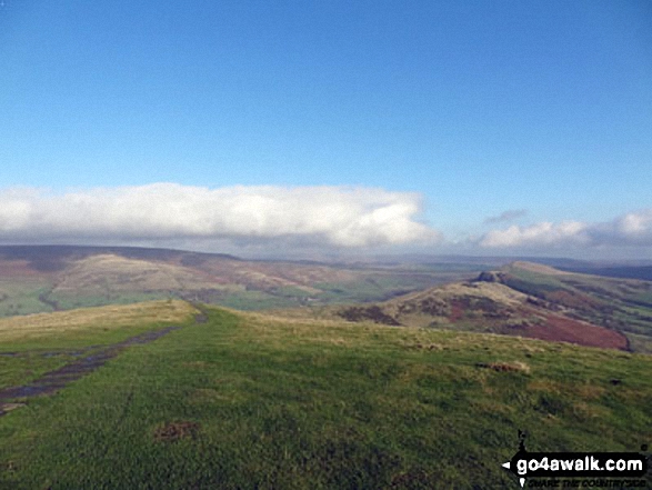
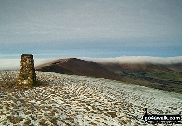
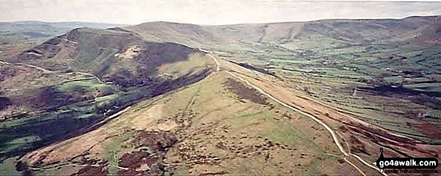
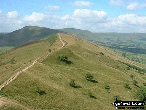
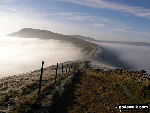
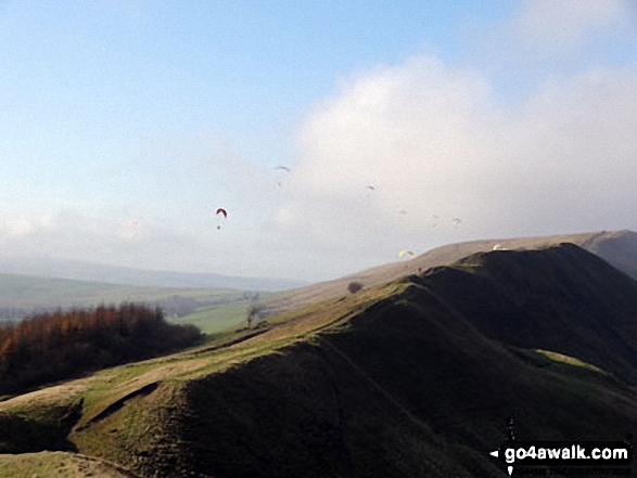
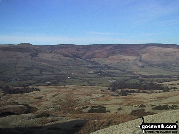
Alport Moor (left) and Hollins Cross, Back Tor (Hollins Cross) and Lose Hill (Ward's Piece) (right) from the summit of Mam Tor

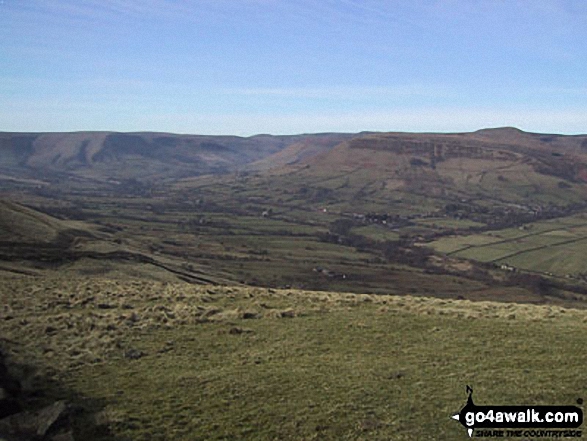
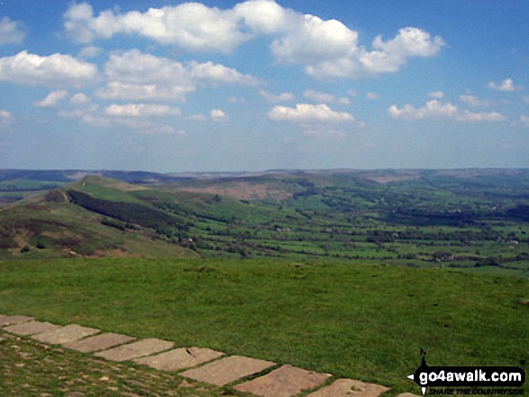
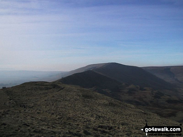
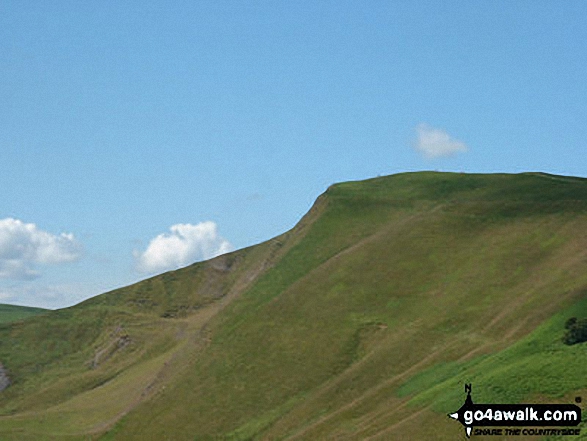
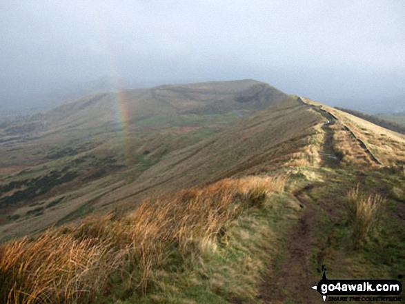
Hollins Cross, Mam Tor and Lord's Seat (Rushup Edge) from Back Tor (Hollins Cross)
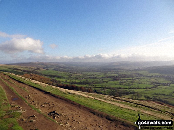
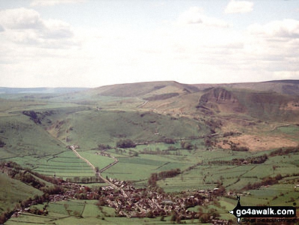
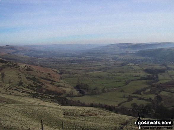
Castleton, Hope and The Hope Valley from the ridge between Mam Tor and Hollins Cross

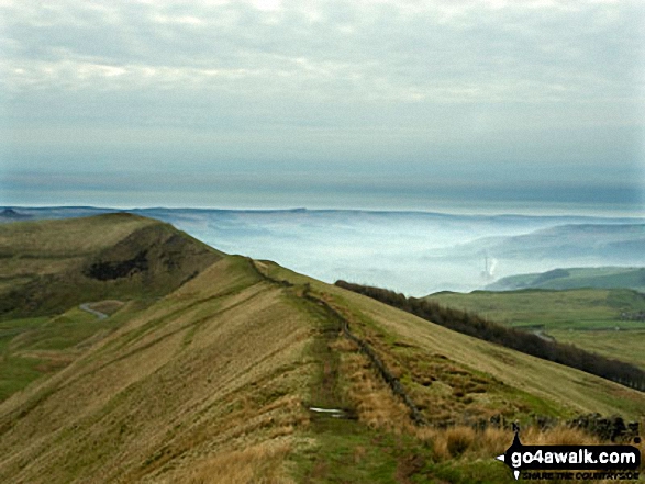
On Lose Hill (Ward's Piece) with Back Tor (Hollins Cross) and Mam Tor beyond during a winter temperature inversion
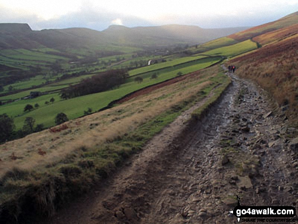
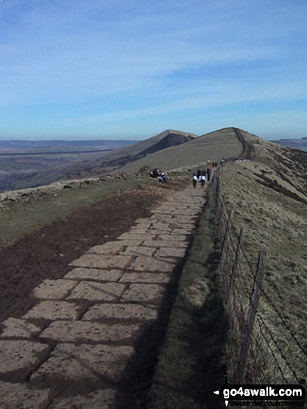
Heading towards Hollins Cross, Back Tor (Hollins Cross) and Lose Hill (Ward's Piece)
Aerial Shot of Castleton with Winnats Pass and Lord's Seat (Mam Tor) and Mam Tor


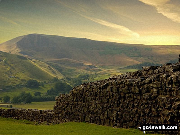
The Vale of Edale with Mam Tor (centre) and Lose Hill (Ward's Piece) in the distance from Winhill Pike (Win Hill)
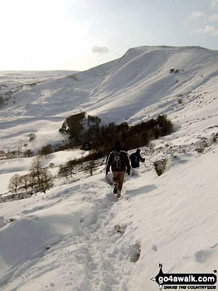


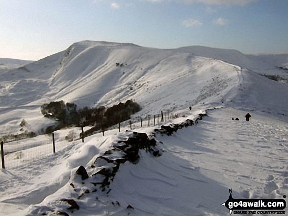
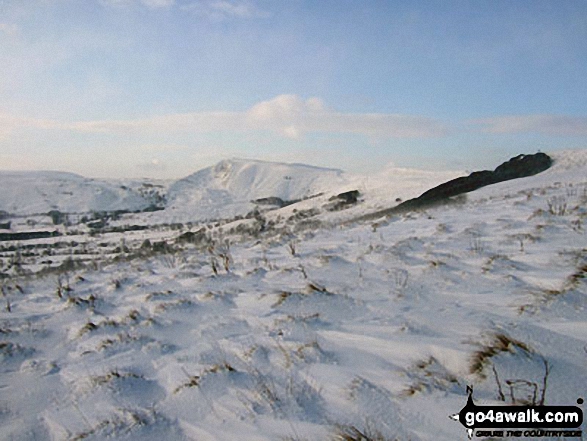
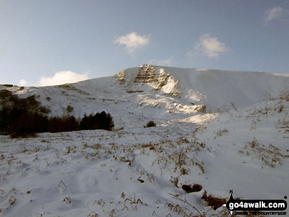
Walking the ridge towards Mam Tor in deep snow between Back Tor (Hollins Cross) and Hollins Cross

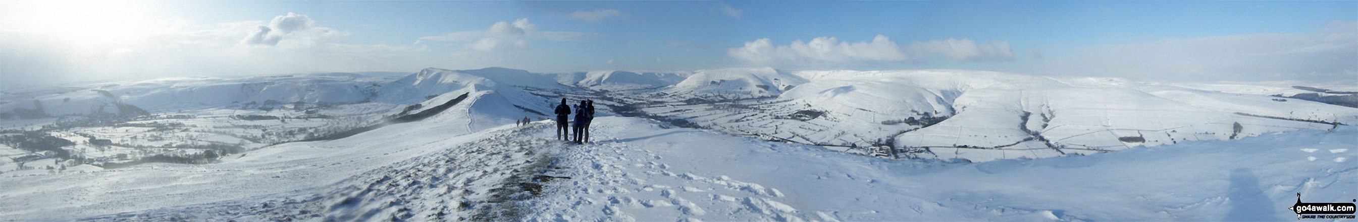
The Hope Valley (left), Mam Tor, The Vale of Edale and Kinder Scout (right) from Lose Hill (Ward's Piece) in arctic snow conditions


Back Tor (Hollins Cross) from Lose Hill (Ward's Piece) with Mam Tor and Lord's Seat (Rushup Edge) beyond during a winter temperature inversion

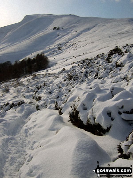
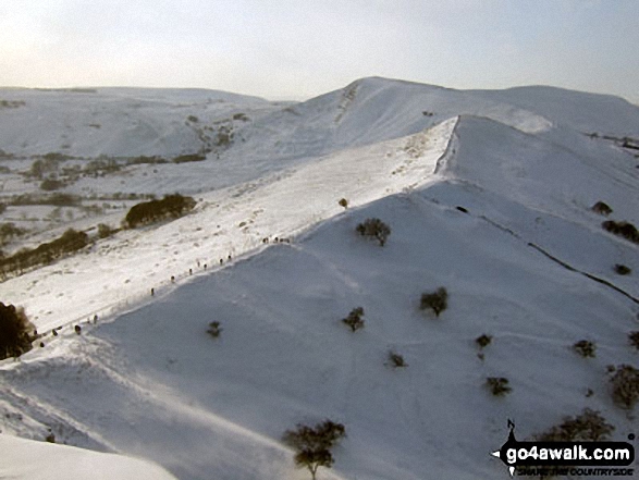
Mam Tor, Hollins Cross, Back Tor (Hollins Cross) in deep snow on the Lose Hill (Ward's Piece) ridge
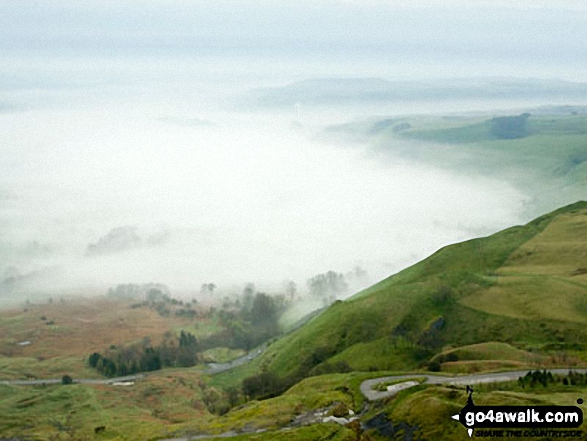
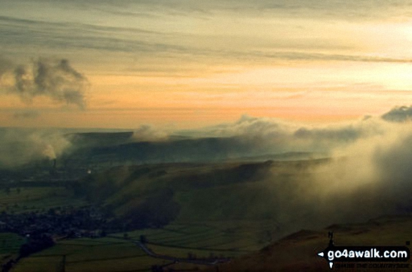
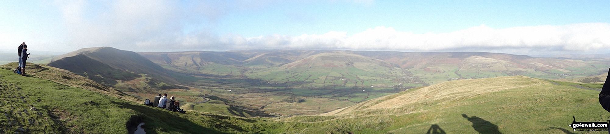
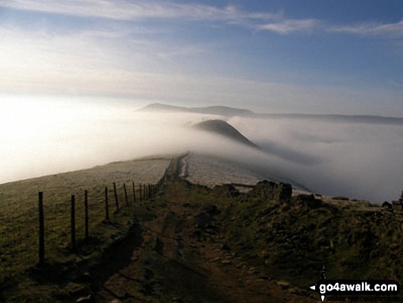
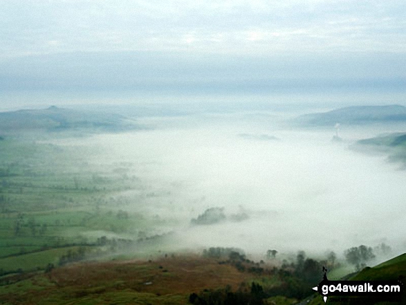
The Great Ridge - Lord's Seat (Rushup Edge), Rushup Edge, Kinder Scout, The Vale of Edale, Edale, Hollins Cross, Back Tor (Hollins Cross), Lose Hill (Ward's Piece), Hope and Castleton under the mist from Mam Tor

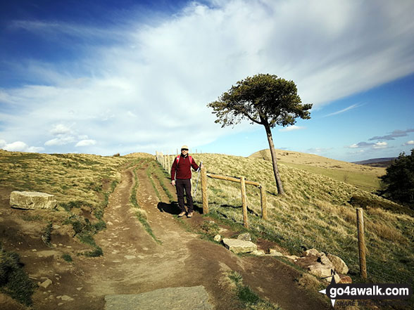
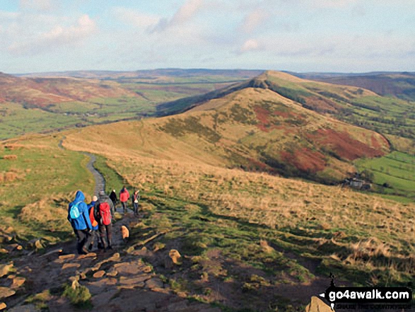
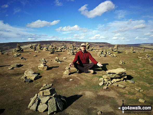
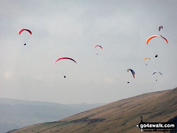
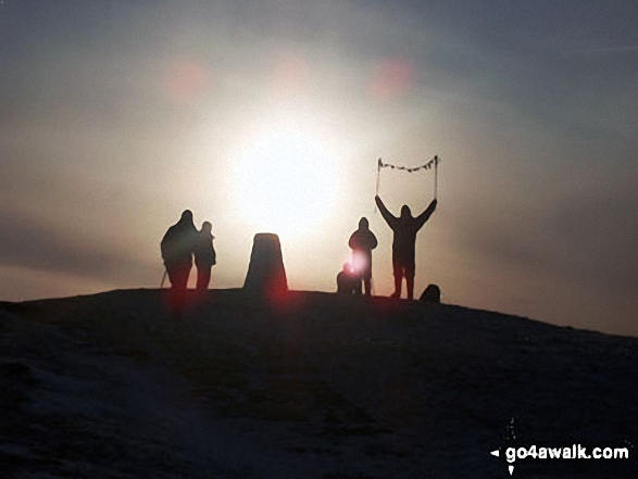
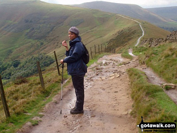
One man and his dog, a gorgeous day walking from Mam Tor to Hollins Cross
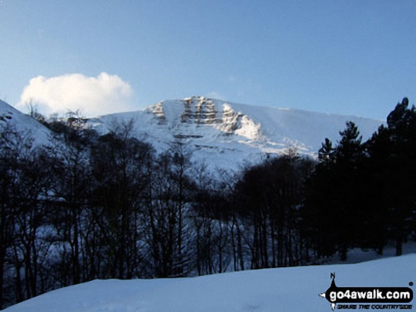
Mam Tor (centre left) from the upper slopes of Lose Hill (Ward's Piece) in heavy snow

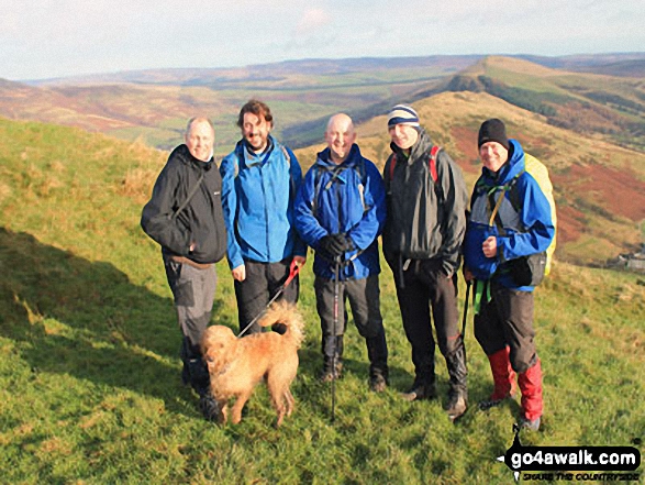
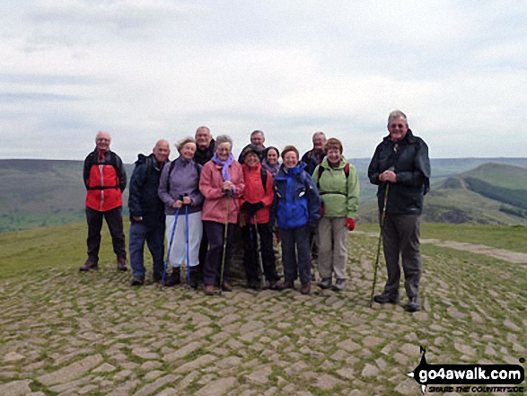
Mozzer, Rob, Jimbles, Big Truck and me on the Hollins Cross ridge below summit of Mam Tor

The Great Ridge - Rushup Edge, Mam Tor, Hollins Cross, Back Tor (Hollins Cross) and Lose Hill (Ward's Piece) from Lord's Seat (Rushup Edge)

The High Peak District, Eldon Hill, Chapel-en-le-Frith, Rushup Edge, Kinder Scout, The Vale of Edale, Edale, Mam Tor, Hollins Cross, Back Tor (Hollins Cross) and Lose Hill (Ward's Piece) from Lord's Seat (Rushup Edge)
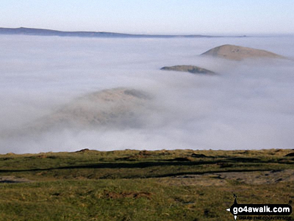
Hollins Cross, Back Tor (Hollins Cross) and Lose Hill (Ward's Piece) from Mam Tor during a temperature inversion
Mam Tor and Hollins Cross in deep snow from the summit of Back Tor (Hollins Cross)


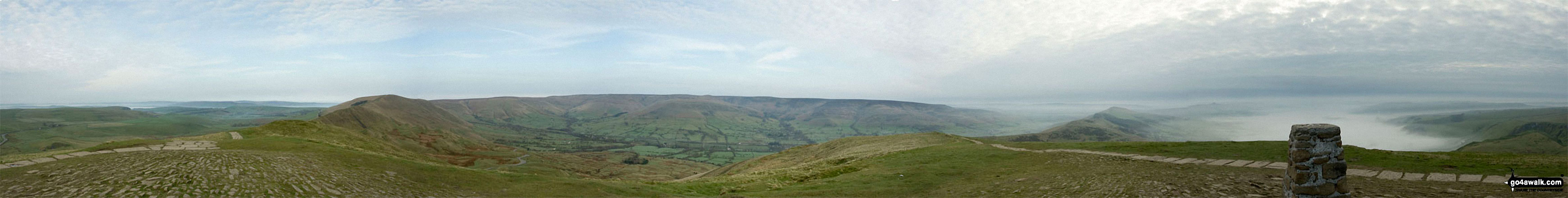
Lord's Seat (Rushup Edge) (left), Brown Knoll, Kinder Scout and The Vale of Edale from the summit of Mam Tor

Hollins Cross, Barker Bank, Backtor Nook, Back Tor (Hollins Cross) and Lose Hill (Ward's Piece) from Mam Tor
Mam Tor, and Back Tor (Hollins Cross) from Lose Hill (Ward's Piece) Tree on Back Tor (Hollins Cross) from Hollins Cross during a winter temperature inversion
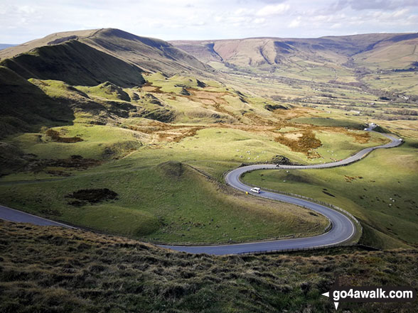
The road winding its way down to Edale from Mam Tor with Lord's Seat (Rushup Edge) (left) and Kinder Scout in the distance


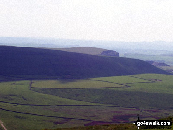
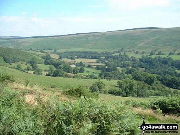
Kinder Scout, Mam Tor and Lose Hill (Ward's Piece) from Burton Bole End (Abney Moor)
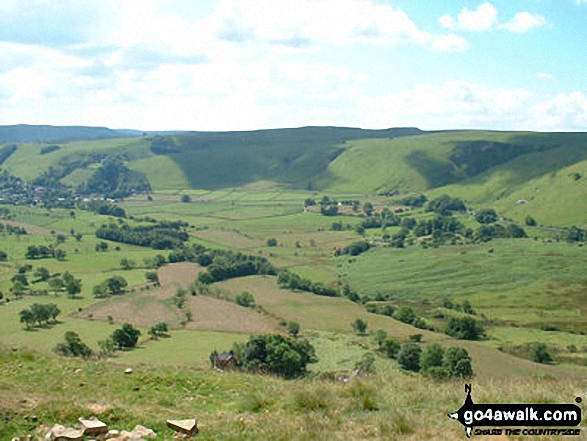
Mam Tor, Hollins Cross and Back Tor (Hollins Cross) from Nether Booth in The Vale of Edale
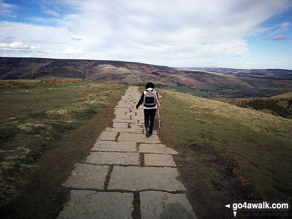
On the path between Back Tor (Hollins Cross) and Hollins Cross itself with Mam Tor (left) and Lord's Seat (Rushup Edge) in the background


Hollins Cross, Back Tor (Hollins Cross) and Lose Hill (Ward's Piece) from Mam Tor
. . . see just 10 walk photographs & pictures of views from, on or of Mam Tor
Send us your photographs and pictures on, of, or from Mam Tor
If you would like to add your walk photographs and pictures to this page, please send them as email attachments (configured for any computer) along with your name to:
and we shall do our best to publish them.
(Guide Resolution = 300dpi. At least = 660pixels (wide) x 440 pixels (high).)

You can also submit photos via our Facebook Page.
NB. Please indicate where each photo was taken and whether you wish us to credit your photos with a Username or your First Name/Last Name.


