![]()
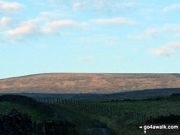
Grey Nag
656m (2153ft)
The North Pennines, Northumberland, England
Tap/mouse over a coloured circle (1-3 easy walks, 4-6 moderate walks, 7-9 hard walks) and click to select.
The summit of Grey Nag is marked by an Ordnance Survey Trig Point.

Not familiar with this top?
   |
|---|
Vital Statistics:
| Length: | 6.25ml (10km) |
|---|---|
| Ascent: | 1,325ft (404m) |
| Time: | 3½ hrs |
| Grade: |  (Moderate) (Moderate) |

Route Summary:
Gilderdale Bridge - Gilderdale Burn - The Pennine Way - Whitley Castle - Black Hill (Whitley Common) - Grey Nag - Black Hill (Whitley Common) - Whitley Castle - The Pennine Way - Gilderdale Burn - Gilderdale Bridge
|
|---|
Vital Statistics:
| Length: | 10ml (16km) |
|---|---|
| Ascent: | 1,628ft (496m) |
| Time: | 5.25hrs |
| Grade: |  (Moderate) (Moderate) |

Route Summary:
Gilderdale Bridge - The Pennine Way - Black Hill (Whitley Common) - Grey Nag - Tom Smith's Stone Top - Tom Smith's Stone - Croglin Water - Haresceugh Fell - Black Fell (Haresceugh Fell) - Woldgill Moss - Gilderdale Burn - Gilderdale Bridge
See Grey Nag and the surrounding tops on our free-to-access 'Google Style' Peak Bagging Map:
The North Pennines
Less data - quicker to download
See Grey Nag and the surrounding tops on our downloadable Peak Bagging Map in PDF format:

NB: Whether you print off a copy or download it to your phone, this PDF Peak Baggers' Map might prove incredibly useful when your are up there on the tops and you cannot get a phone signal.
You can find Grey Nag & all the walks that climb it on these unique free-to-access Interactive Walk Planning Maps:
1:25,000 scale OS Explorer Map (orange/yellow covers):
1:50,000 scale OS Landranger Map (pink/magenta covers):
 Fellow go4awalkers who have already walked, climbed, summited & bagged Grey Nag
David Peebles walked up Grey Nag on July 13th, 2024 [from/via/route] Bridge near Gilderdale Bridge [with] Solo walk [weather] Rained most of the day. - New boots. Sore heels by the end. Broken in now after 18km hopefully.
Kate Barnes climbed it on September 9th, 2023 [from/via/route] Nightmare, no paths, not possible to walk NW bank Grindale Burn [with] K & P [weather] Hot
Sam Jones bagged it on July 16th, 2022 [from/via/route] From Hartside [with] Solo [weather] mix of sun & cloud - Awesome 360 views good visibility
Mark Davidson hiked Grey Nag on March 23rd, 2007 [from/via/route] Extension to Walk c337 Black Fell (Haresceugh Fell) & Benty Hill from Hartside Top Cafe [with] alone [weather] Bright & sunny - lovely summer's day - The route between Black Fell (Haresceugh Fell) to Grey Nag crosses some of the boggiest ground I have ever come across - despite it being a hot & dry summer day (can't remember what the rest of that summer (2007) was like though). If you are thinking of doing it this way instead of climbing up from Gilderdale Bridge - don't!
Caroline Winter summited on August 19th, 2021 [from/via/route] A689/Castle Nook, Whitely Common, Grey Nag, return [with] Becky [weather] Drizzly, low cloud on top - Alston road blocked off, so lengthy detour from Nenthead, where we were camping. Walk took longer than expected. Back at car spoke to organiser of National trust Roman Fort-worth a visit as close by
To add (or remove) your name and experiences on this page - Log On and edit your Personal Mountain Bagging Record
. . . [see more walk reports]
More Photographs & Pictures of views from, on or of Grey Nag


Send us your photographs and pictures on, of, or from Grey Nag
If you would like to add your walk photographs and pictures to this page, please send them as email attachments (configured for any computer) along with your name to:
and we shall do our best to publish them.
(Guide Resolution = 300dpi. At least = 660pixels (wide) x 440 pixels (high).)

You can also submit photos via our Facebook Page.
NB. Please indicate where each photo was taken and whether you wish us to credit your photos with a Username or your First Name/Last Name.