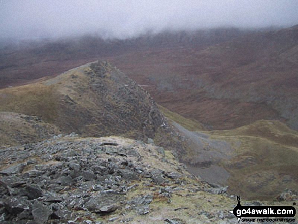
Foel Meirch
800m (2625ft)
The Carneddau, Snowdonia, Gwynedd, Wales
Tap/mouse over a coloured circle (1-3 easy walks, 4-6 moderate walks, 7-9 hard walks) and click to select.
Foel Meirch means 'Stallion Hill' in Welsh and is pronounced 'foil-may-r-ch'.
Not familiar with this top?
See Foel Meirch and the surrounding tops on our free-to-access 'Google Style' Peak Bagging Maps:
The Carneddau of Snowdonia National Park
Less data - quicker to download
The Whole of Snowdonia National Park
More data - might take a little longer to download
See Foel Meirch and the surrounding tops on our downloadable Peak Bagging Map in PDF format:
NB: Whether you print off a copy or download it to your phone, this PDF Peak Baggers' Map might prove incredibly useful when your are up there on the tops and you cannot get a phone signal.
You can find Foel Meirch & all the walks that climb it on these unique free-to-access Interactive Walk Planning Maps:
1:25,000 scale OS Explorer Map (orange/yellow covers):
1:50,000 scale OS Landranger Map (pink/magenta covers):
 Fellow go4awalkers who have already walked, climbed, summited & bagged Foel Meirch
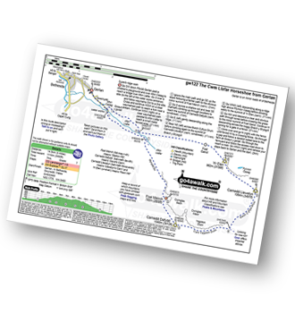
Christina Lander walked up Foel Meirch on September 4th, 2015 [from/via/route] Cwm Llafar Horseshoe [with] Dick [weather] Mostly foggy
Adrian Haywood climbed it on November 28th, 2021 [from/via/route] Yr Elen & Canedd Dafydd circular [with] Arwel, Darryl and mike [weather] snow & cloudy
Melfyn Parry bagged it on October 15th, 2020 [from/via/route] Start & finish at Bont Twr in Bethesda. Walk through Braichmelyn & up through Well St to Gerlan, along to old Water Works. Path follows Afon Llafar to base of Grib Lem. Steep ascent to base of Llech Ddu Spur which involves a grade 1 scramble. On reaching top of the climb follow path to summit of Carnedd Dafydd. Descend from here over stony path following ridge along Foel Meirch to Cwm Moch & Mynydd Du to rejoin path for return tocar via Ceunant Uffern waterfall. [with] DS & CW [weather] Mainly cloudy with the odd sunny spell. Cool at times.
Mark Smith hiked Foel Meirch on August 7th, 2015 [weather] cloud on summit
Mark Davidson summited on March 21st, 2004 [with] Mike [weather] Bit grim - cold & patchy low cloud - light dusting of snow on the highest peaks
Robert Taylor-Marriott conquered it on November 23rd, 2012 [from/via/route] Route 45: Foel Meirch (FM) Completed 23.11.12 [with] Vince Wetton & Robert Taylor-Marriott. [weather] Fair & Cloudy
Vince Wetton scaled it on November 23rd, 2012 [with] RTM
Pauline Styles walked up Foel Meirch during November, 2010 [from/via/route] Via carnedd daffyd [with] A bunch of good guy [weather] Snowy & windy
Rachael Tyler has walked, climbed & bagged Foel Meirch.
To add (or remove) your name and experiences on this page - Log On and edit your Personal Mountain Bagging Record
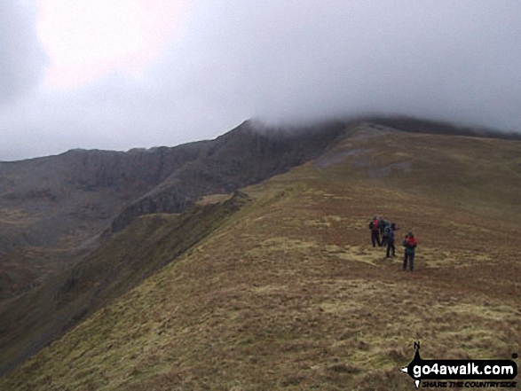
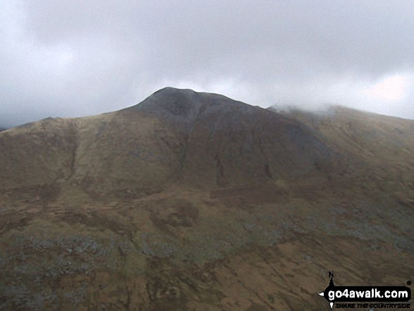
More Photographs & Pictures of views from, on or of Foel Meirch
Send us your photographs and pictures on, of, or from Foel Meirch
If you would like to add your walk photographs and pictures to this page, please send them as email attachments (configured for any computer) along with your name to:
and we shall do our best to publish them.
(Guide Resolution = 300dpi. At least = 660pixels (wide) x 440 pixels (high).)
You can also submit photos via our Facebook Page.
NB. Please indicate where each photo was taken and whether you wish us to credit your photos with a Username or your First Name/Last Name.
 (Hard)