
![]()
Castle Crag
290m (952ft)
The North Western Fells, The Lake District, Cumbria, England

Not familiar with this top?
   |
|---|
Vital Statistics:
| Length: | 3.5ml (5.5km) |
|---|---|
| Ascent: | 906ft (276m) |
| Time: | 2½ hrs |
| Grade: |  (Easy) (Easy) |
Route Summary:
Grange (Borrowdale) - Borrowdale - The Cumbria Way - Holmcrag Wood - River Derwent - The Allerdale Ramble - Castle Crag - River Derwent - Grange (Borrowdale)
|
|---|
Vital Statistics:
| Length: | 5.5ml (9km) |
|---|---|
| Ascent: | 1,384ft (422m) |
| Time: | 3½ hrs |
| Grade: |  (Moderate) (Moderate) |
Route Summary:
Seatoller - The Allerdale Ramble - Longthwaite - Rosthwaite - New Bridge - The River Derwent - The Cumbria Way - Castle Crag - Seatoller
|
|---|
Vital Statistics:
| Length: | 10mls (16km) |
|---|---|
| Ascent: | 3,349ft (1,082m) |
| Time: | 7.25hrs |
| Grade: |  (Hard) (Hard) |

Route Summary:
Hawes End - Derwent Water - Skelgill Bank - Woodford's Path - Cat Bells (Catbells) - Maiden Moor - Narrow Moor - High Spy (North Top) - High Spy - Dale Head Tarn - Rigghead Quarries - The Allerdale Ramble - Castle Crag - River Derwent - Yewdale Knott - Manesty - Manesty Band - Hawes End - Derwent Water.
See Castle Crag and the surrounding tops on our free-to-access 'Google Style' Peak Bagging Maps:
The North Western Fells of The Lake District National Park
Less data - quicker to download
The Whole of The Lake District National Park
More data - might take a little longer to download
See Castle Crag and the surrounding tops on our downloadable Peak Bagging Maps in PDF format:

NB: Whether you print off a copy or download it to your phone, these PDF Peak Baggers' Maps might prove incredibly useful when your are up there on the tops and you cannot get a phone signal.
*This version is marked with the walk routes you need to follow to Walk all 214 Wainwrights in just 59 walks.
You can find Castle Crag & all the walks that climb it on these unique free-to-access Interactive Walk Planning Maps:
1:25,000 scale OS Explorer Map (orange/yellow covers):
1:50,000 scale OS Landranger Maps (pink/magenta covers):
 Fellow go4awalkers who have already walked, climbed, summited & bagged Castle Crag
Caroline Winter walked up Castle Crag on January 5th, 2026 [from/via/route] Rosthwaite, C2C path, Doat, Castle Crag [with] Becky [weather] Chilly - Wonderful views. Robin hungry & following us on return path, so fed him nuts which he took from our hand.
Neil Walker climbed it on August 20th, 2025 [from/via/route] Grange [with] Hannah and Molly [weather] Cloudy. - Harder & longer than thought from guidebook descriptions. 8k walk
Sarah Gunn bagged it on February 27th, 2024 [from/via/route] From Littletown [with] Martin Gunn, Dan Gunn and Shannon Worton
Claire Kirk hiked Castle Crag on February 16th, 2025 [from/via/route] Portinscale [with] Gareth [weather] Dry, cold
Geoff Hand summited on February 11th, 2025 [from/via/route] parking at Rosthwaite, we walked North along the river & climbed Castle Crag then continued to Grange.crossed the road & climbed upto Brund Fell Grange Fell [with] With Richard Macillwaine [weather] High cloud & cold! A few light flurries of snow. - 6m walk with two steep climbs. Stunning Borrowdale.
To add (or remove) your name and experiences on this page - Log On and edit your Personal Mountain Bagging Record
. . . [see more walk reports]
More Photographs & Pictures of views from, on or of Castle Crag
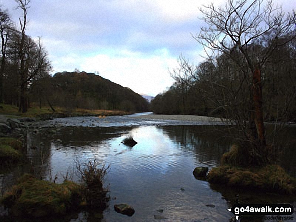
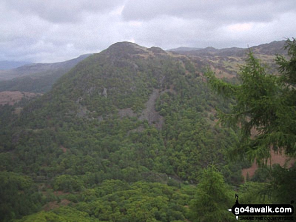
Castle Crag in the 'Jaws' of Borrowdale taken from the north end of Derwent Water

Haweswater Reservoir, The Rigg with Branstree (Artlecrag Pike) beyond from near Castle Crag


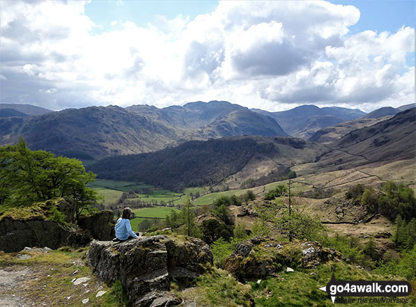
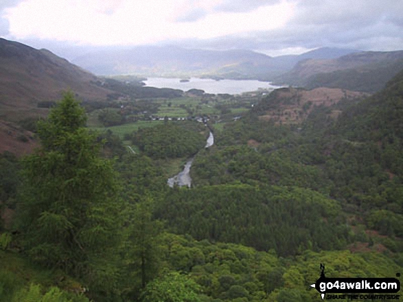
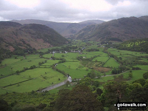
Derwent Water and Borrowdale with Cat Bells, Maiden Moor and Castle Crag on the right from the northern end of the lake
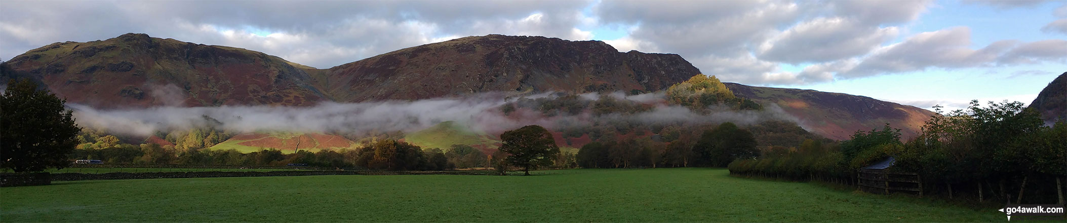
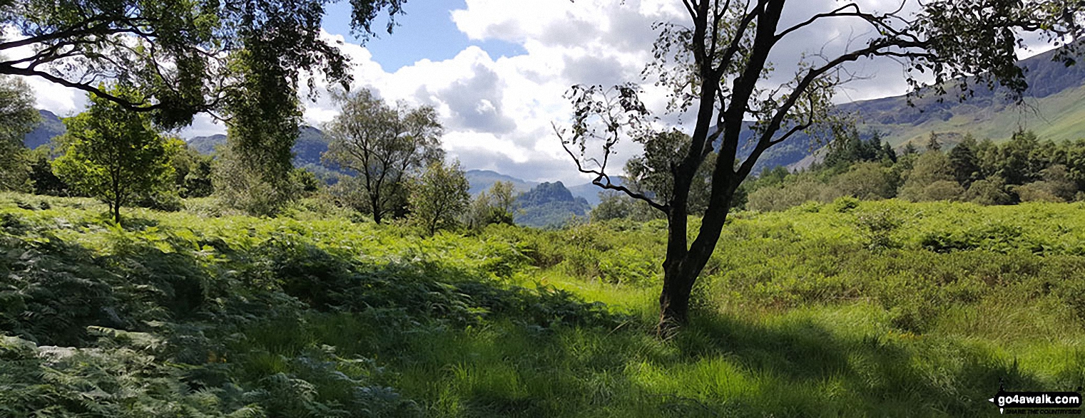
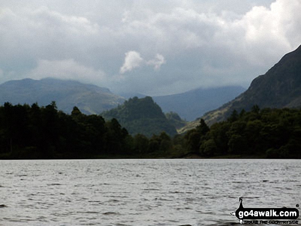
Early morning valley mist below Dale Head (Newlands) and High Spy, Maiden Moor & Cat Bells (Catbells) with the summit of Castle Crag (front right) lit by a ray of sunshine from Rosthwaite
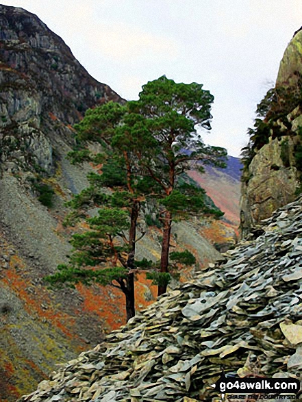
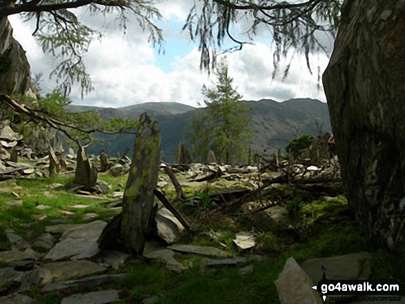
A pair of Scots Pines amongst the old quarry workings on the side of Castle Crag


The (tall) ladder stile and the Shoulthwaite Beck ravine south of Castle Crag (Ashness Fell)
. . . see just 10 walk photographs & pictures of views from, on or of Castle Crag
Send us your photographs and pictures on, of, or from Castle Crag
If you would like to add your walk photographs and pictures to this page, please send them as email attachments (configured for any computer) along with your name to:
and we shall do our best to publish them.
(Guide Resolution = 300dpi. At least = 660pixels (wide) x 440 pixels (high).)

You can also submit photos via our Facebook Page.
NB. Please indicate where each photo was taken and whether you wish us to credit your photos with a Username or your First Name/Last Name.


