Walk dg119 Croft Head from Moffat Dale
This 9¾ mile, Grade 6 (Moderate), easy-to-follow, hand-crafted walk, complete with GPS Waypoints, starts at Parking Area A708 NE of Moffat & will take about 5¾ hrs to complete.
   |
Vital Statistics:
| Length: | 9¾mls (15.5km) |
| Ascent: | 2,206ft (672m) |
| Time: | 5¾hrs |
| Grade: |  |

Route outline for walk dg119:
Parking Area A708 NE of Moffat - Moffat Water - Moffat Dale - The Southern Upland Way - Cornal Burn - Craigbeck Hope - Eskdalemuir - Wamphrey Burn - Sheepfold - Slecoth Burn - Croft Head - Corfthead Burn - Craiglochan Gardens - Parking Area.
Peaks, Summits and Tops reached on this walk:
 0 Munros |
 0 Corbetts |
 1 Graham |
 0 Murdos |
 1 Donald |
 1 Scottish Marilyn |
 0 Bridgets |
Peak Bagging Statistics for this walk:
The highest point of this walk is Croft Head at 637m (2091ft). Croft Head is classified as a Graham (No. 185). Croft Head is also classified as a Donald (No. 72) and a Scottish Marilyn (611th highest in Scotland, 705th highest in the UK).
National Trails & Long Paths included on this walk:
Part of this walk follows a section of The Southern Upland Way, a 343km (213 miles) linear footpath connecting Portpatrick in Dumfries and Galloway, Scotland with Cockburnspath in The Borders, Scotland. The Southern Upland Way is waymarked by a Spannered Thistle. For more walks that include a section of this trail see The Southern Upland Way.
You can find this walk and other nearby walks on these unique Interactive Walk Planning Maps:
(worth a look if you're new to go4awalk.com & have never seen one of these before.)
1:25,000 scale OS Explorer Maps (orange/yellow covers):
An Interactive Walk Planning Map for OS Explorer 330 Moffat & St Mary’s Loch is not currently available
An Interactive Walk Planning Map for OS Explorer 322 Annandale, Annan, Lockerbie & Beattock is not currently available
1:50,000 scale OS Landranger Maps (pink/magenta covers):
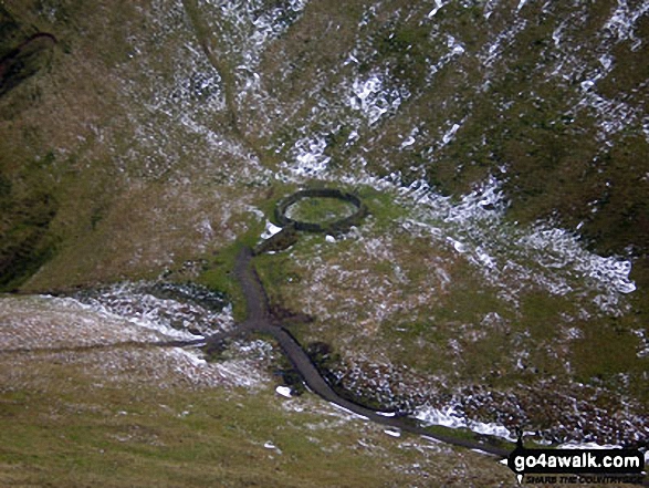
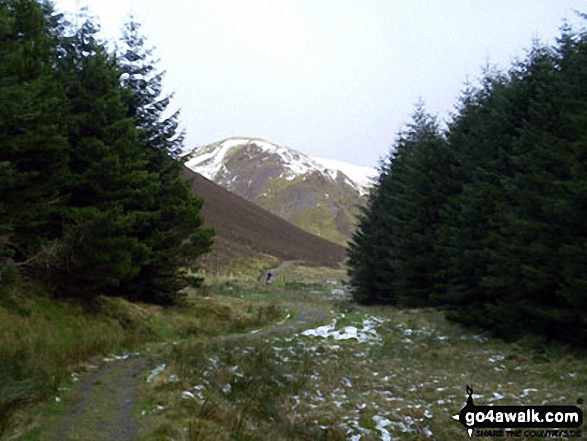
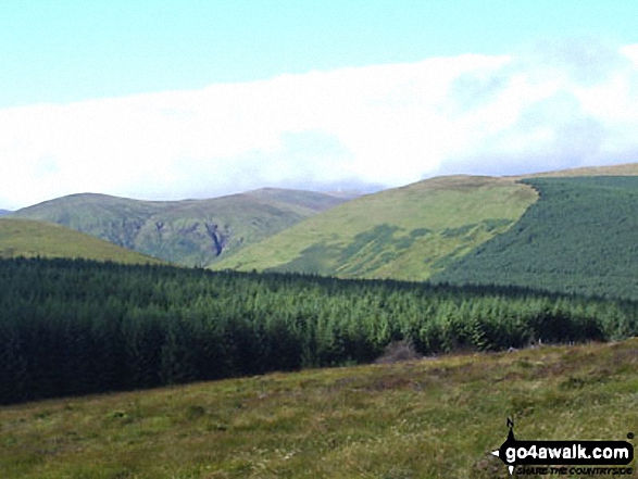
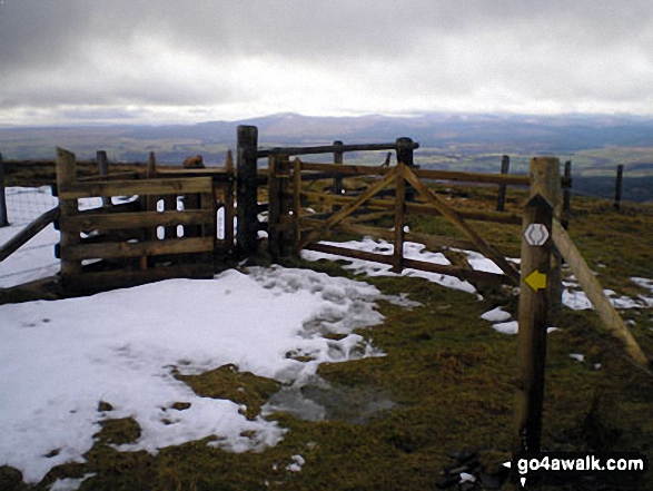
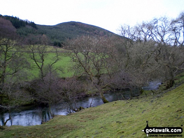
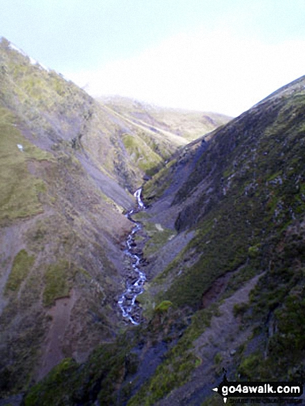
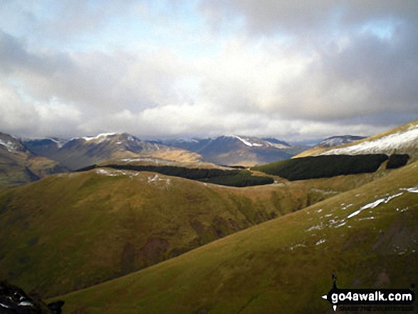
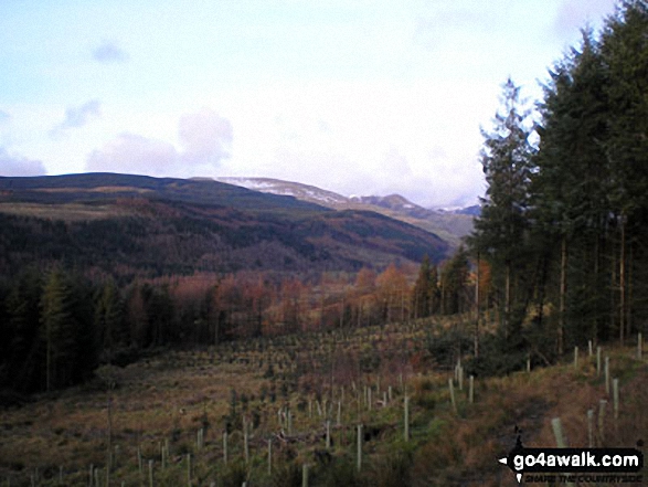
Some Photos and Pictures from Walk dg119 Croft Head from Moffat Dale
In no particular order . . .


Send us your photographs and pictures from your walks and hikes
We would love to see your photographs and pictures from walk dg119 Croft Head from Moffat Dale. Send them in to us as email attachments (configured for any computer) along with your name and where the picture was taken to:
and we shall do our best to publish them.
(Guide Resolution = 300dpi. At least = 660 pixels (wide) x 440 pixels (high).)

You can also submit photos from walk dg119 Croft Head from Moffat Dale via our Facebook Page.
NB. Please indicate where each photo was taken.
To contribute to go4awalk.com or to contact us about anything at all - see Talk To Us.
For help see Help.
go4awalk.com and go4awalk.co.uk are registered trademarks of TMDH Limited.
Copyright © 2000-2026 TMDH Limited. All rights reserved.
Copyright Terms & Conditions Privacy Statement
A - Z Walks Home Log On/Accounts Photo Gallery Walk Ideas and Collections Fell Facts Hill Skills Walking Questions and Answers Your Stories News Competitions Product Reviews/Gear Tests Walking Gear Guides Peaks and Mountains Peak Bagging Find New Walking Friends Camping GPS Waypoints for Walking Contents Walk Search Talk To Us go4awalk.com Help Free Example Walks Newsletter


