   |
Vital Statistics:
| Length: | 5mls (8km) |
| Ascent: | 2,649ft (807m) |
| Time: | 4½hrs |
| Grade: |  |
Route outline for walk c432:
The Swirls - Helvellyn Gill - Browncove Crags - Lower Man (Helvellyn) - Helvellyn - Lower Man (Helvellyn) - Browncove Crags - Helvellyn Gill - The Swirls
Peak Bagging Statistics for this walk:
The highest point of this walk is Helvellyn at 950m (3118ft). Helvellyn is classified as an English Mountain (Hewitt) (3rd highest in England, 12th highest in England & Wales) and a Wainwright (No. 3).
Helvellyn is also known as an English Nuttall (4th highest in England, 14th highest in England & Wales) and an English Marilyn (2nd highest in England, 165th highest in the UK).
The summit of Helvellyn is marked by an Ordnance Survey Trig Point.
Completing this walk will also take you to the top of Lower Man (Helvellyn) at 925m (3036ft). Lower Man (Helvellyn) is also known as an English Nuttall (8th highest in England, 21st highest in England & Wales).
You can find this walk and other nearby walks on these unique free-to-access Interactive Walk Planning Maps:
1:25,000 scale OS Explorer Map (orange/yellow covers):
1:50,000 scale OS Landranger Map (pink/magenta covers):
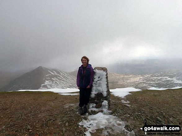
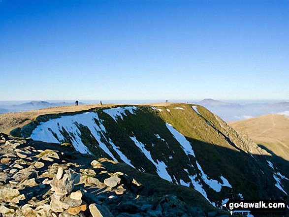
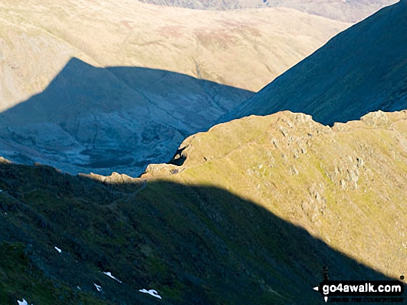
Some Photos and Pictures from Walk c432 Helvellyn from Thirlmere
In no particular order . . .


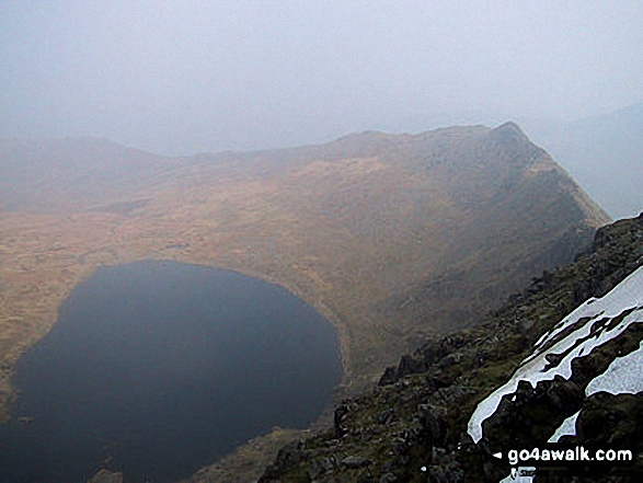
Red Tarn (Helvellyn) and Striding Edge (High Spying How) in all it's glory from Helvellyn

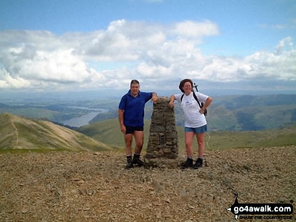

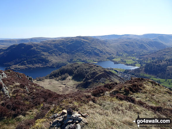


Runaway Ramblers from Bury on top of Steel Fell (Dead Pike) in early May
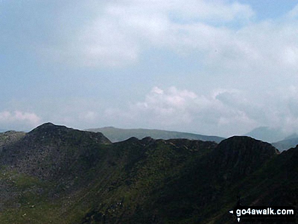


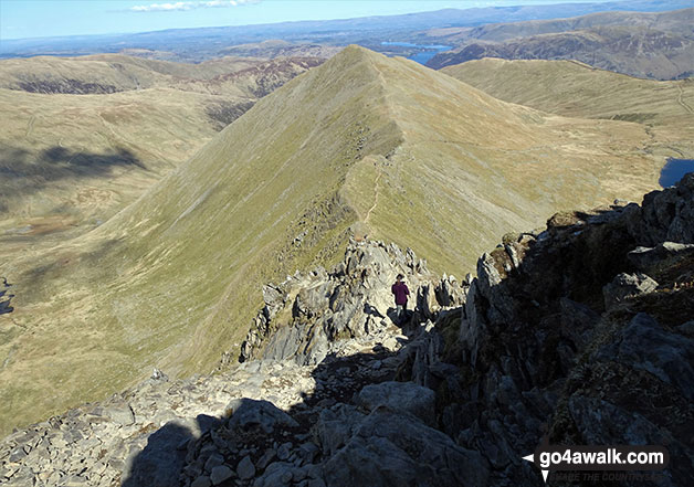
Clouds rolling in over Fairfield (left), Dollywaggon Pike and Nethermost Pike from Helvellyn


. . . load all 100 walk photos from Walk c432 Helvellyn from Thirlmere
Send us your photographs and pictures from your walks and hikes
We would love to see your photographs and pictures from walk c432 Helvellyn from Thirlmere. Send them in to us as email attachments (configured for any computer) along with your name and where the picture was taken to:
and we shall do our best to publish them.
(Guide Resolution = 300dpi. At least = 660 pixels (wide) x 440 pixels (high).)

You can also submit photos from walk c432 Helvellyn from Thirlmere via our Facebook Page.
NB. Please indicate where each photo was taken.


