   |
Vital Statistics:
| Length: | 7½mls (12km) |
| Ascent: | 2,091ft (637m) |
| Time: | 5hrs |
| Grade: |  |
Route outline for walk c325:
Church of St Margaret - Wythop Mill - Sale Fell - Dodd Crag - Wythop Beck - Esking Farm - Corpse Road - Ling Fell (Wythop) - Burthwaite Cottage - Old Scale - Chapel Wood - Routenbeck - Wythop.
Peaks, Summits and Tops reached on this walk:
 0 English Mountains |
 2 Wainwrights |
 0 English Nuttalls |
 0 English Deweys |
 0 Wainwright Outlying Fells |
 0 Marilyns |
 0 Bridgets |
Peak Bagging Statistics for this walk:
The highest point of this walk is Ling Fell (Wythop) at 373m (1224ft). Ling Fell (Wythop) is classified as an Wainwright (No. 205).
The summit of Ling Fell (Wythop) is marked by an Ordnance Survey Trig Point.
Completing this walk will also take you to the top of Sale Fell at 359m (1178ft). Sale Fell is classified as an Wainwright (No. 208).
1:25,000 scale OS Explorer Map (orange/yellow covers):
1:50,000 scale OS Landranger Maps (pink/magenta covers):
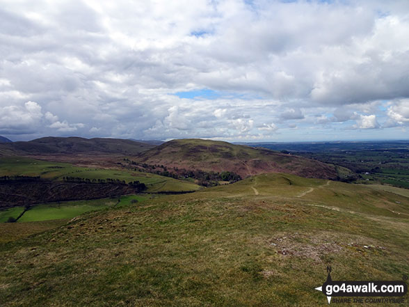
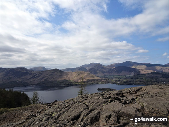
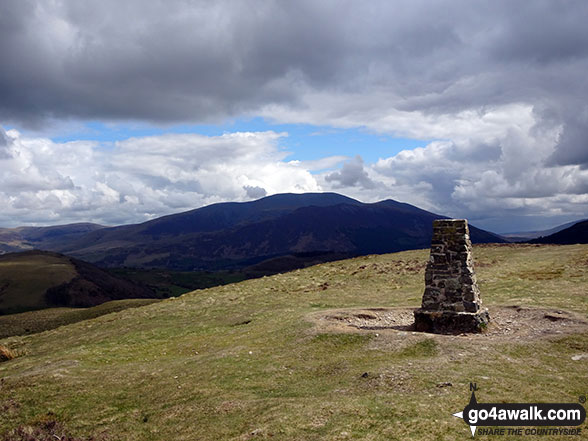
Some Photos and Pictures from Walk c325 Sale Fell and Ling Fell (Wythop) from Wythop Church
In no particular order . . .


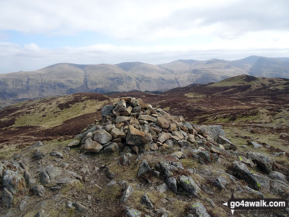


Sale Fell summit cairn with a snow topped Skiddaw looming in the distance


Send us your photographs and pictures from your walks and hikes
We would love to see your photographs and pictures from walk c325 Sale Fell and Ling Fell (Wythop) from Wythop Church. Send them in to us as email attachments (configured for any computer) along with your name and where the picture was taken to:
and we shall do our best to publish them.
(Guide Resolution = 300dpi. At least = 660 pixels (wide) x 440 pixels (high).)

You can also submit photos from walk c325 Sale Fell and Ling Fell (Wythop) from Wythop Church via our Facebook Page.
NB. Please indicate where each photo was taken.


