   |
Vital Statistics:
| Length: | 9½mls (15km) |
| Ascent: | 2,050ft (625m) |
| Time: | 5½hrs |
| Grade: |  |

Route outline for walk c322:
Demings Moss - Shap - Whatshaw Common - Little Yarlside - Great Yarlside - Harrop Pike - Grey Crag (Sleddale) - Lord's Seat (Crookdale) - Robin Hood (Crookdale) - High House Bank - Demings Moss - Shap.
Peaks, Summits and Tops reached on this walk:
 1 English Mountain |
 1 Wainwright |
 2 English Nuttalls |
 1 English Dewey |
 6 Wainwright Outlying Fells |
 0 Marilyns |
 0 Bridgets |
Peak Bagging Statistics for this walk:
The highest point of this walk is Grey Crag (Sleddale) at 638m (2094ft). Grey Crag (Sleddale) is classified as an English Mountain (Hewitt) (153rd highest in England, 261st highest in England & Wales) and a Wainwright (No. 118).
Grey Crag (Sleddale) is also known as an English Nuttall (202nd highest in England, 350th highest in England & Wales).
Completing this walk will also take you to the top of Harrop Pike at 637m (2091ft). Harrop Pike is also known as an English Nuttall (204th highest in England, 353rd highest in England & Wales).
You will also reach the summit of Great Yarlside at 585m (1920ft). Great Yarlside is also known as an Wainwright Outlying Fell (No. 3)
Along the way you will also bag:
- Lord's Seat (Crookdale) at 524m (1720ft). - an English Dewey (129th England, 294th highest in England & Wales), and an Wainwright Outlying Fell (No. 17)
- Little Yarlside at 516m (1694ft). Little Yarlside is classified as a Wainwright Outlying Fell (No. 18)
- High House Bank at 495m (1625ft). High House Bank is classified as a Wainwright Outlying Fell (No. 26)
- Robin Hood (Crookdale) at 493m (1618ft). Robin Hood (Crookdale) is classified as a Wainwright Outlying Fell (No. 29)
- Whatshaw Common at 485m (1592ft). Whatshaw Common is classified as a Wainwright Outlying Fell (No. 32)
You can find this walk and other nearby walks on these unique free-to-access Interactive Walk Planning Maps:
1:25,000 scale OS Explorer Map (orange/yellow covers):
1:50,000 scale OS Landranger Map (pink/magenta covers):
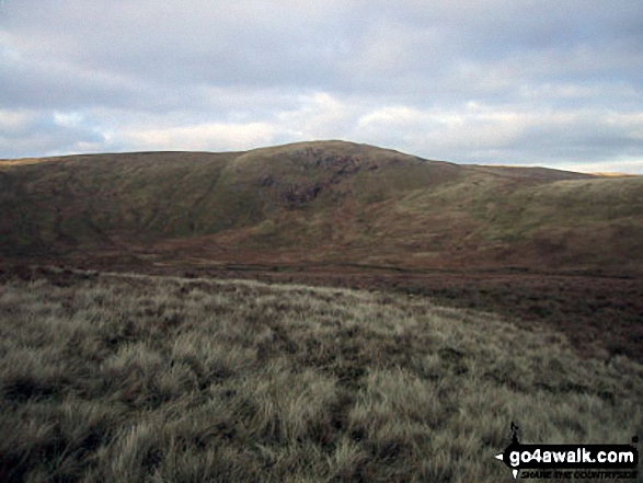
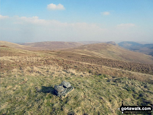
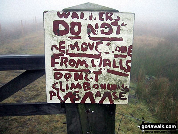
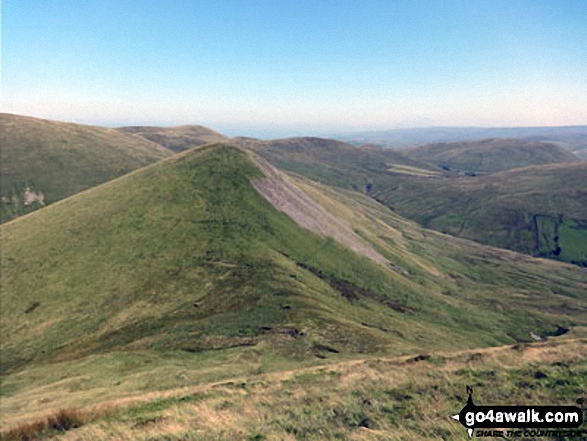
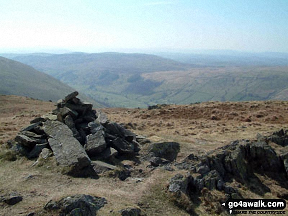
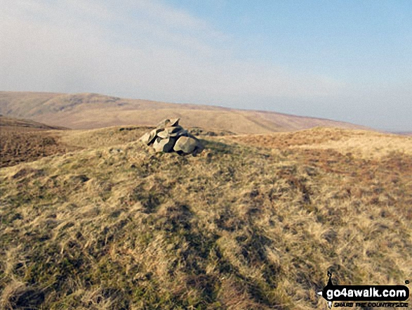
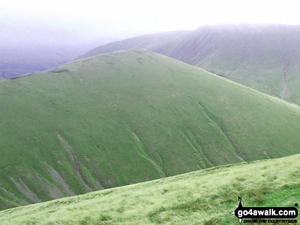
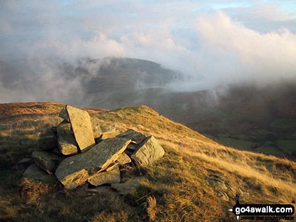
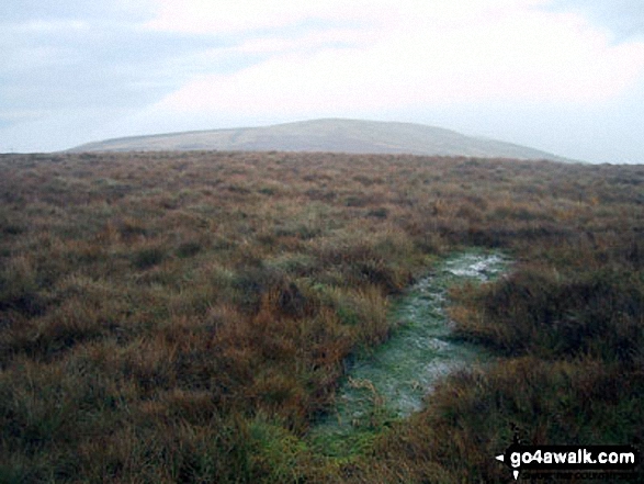
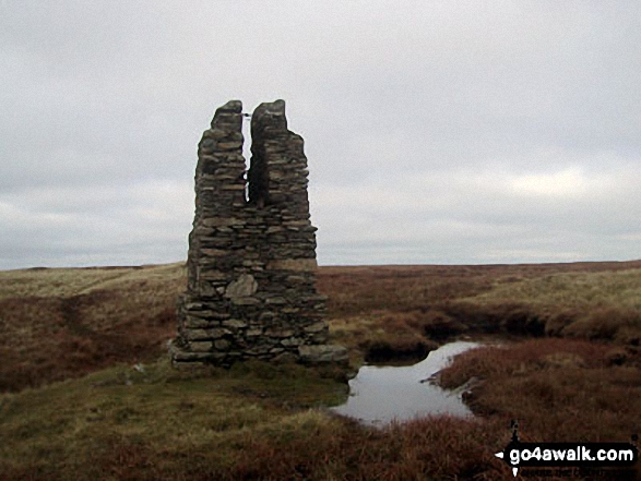
Some Photos and Pictures from Walk c322 The Crookdale Round
In no particular order . . .


. . . load all 28 walk photos from Walk c322 The Crookdale Round
Send us your photographs and pictures from your walks and hikes
We would love to see your photographs and pictures from walk c322 The Crookdale Round. Send them in to us as email attachments (configured for any computer) along with your name and where the picture was taken to:
and we shall do our best to publish them.
(Guide Resolution = 300dpi. At least = 660 pixels (wide) x 440 pixels (high).)

You can also submit photos from walk c322 The Crookdale Round via our Facebook Page.
NB. Please indicate where each photo was taken.


