|
Vital Statistics:
| Length: | 12¼mls (19.5km) |
| Ascent: | 4,194ft (1,278m) |
| Time: | 8¾hrs |
| Grade: |  |
Route outline for walk c153:
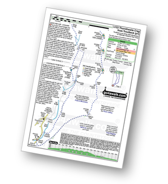
Troutbeck Bridge - Garburn Pass - Yoke - Ill Bell - Froswick - Thornthwaite Crag - Stony Cove Pike (Caudale Moor) - Doup Crag - Trout Beck - Troutbeck Tongue - Hagg Gill - Lowther Brow - Long Green Head - Limefitt Campsite - Troutbeck - Troutbeck Bridge


Peaks, Summits and Tops reached on this walk:
 5 English Mountains |
 6 Wainwrights |
 5 English Nuttalls |
 0 English Deweys |
 0 Wainwright Outlying Fells |
 1 Marilyn |
 0 Bridgets |
Peak Bagging Statistics for this walk:
The highest point of this walk is Thornthwaite Crag at 784m (2573ft). Thornthwaite Crag is classified as an English Mountain (Hewitt) (52nd highest in England, 91st highest in England & Wales) and a Wainwright (No. 44).
Thornthwaite Crag is also known as an English Nuttall (62nd highest in England, 111th highest in England & Wales).
Completing this walk will also take you to the top of Stony Cove Pike (Caudale Moor) at 763m (2504ft). Stony Cove Pike (Caudale Moor) is classified as an English Mountain (Hewitt) (63rd highest in England, 109th highest in England & Wales) and a Wainwright (No. 55).
Stony Cove Pike (Caudale Moor) is also known as an English Nuttall (77th highest in England, 133rd highest in England & Wales) and an English Marilyn (19th highest in England, 465th highest in the UK).
In Alfred Wainwright's 'Book Two - The Far Eastern Fells' the chapter for Stony Cove Pike (Caudale Moor) is entitled simply 'Caudale Moor'.
You will also reach the summit of Ill Bell at 757m (2484ft). Ill Bell is classified as an English Mountain (Hewitt) (66th highest in England, 114th highest in England & Wales) and a Wainwright (No. 60).
Ill Bell is also known as an English Nuttall (80th highest in England, 138th highest in England & Wales).
Along the way you will also bag:
- Froswick at 720m (2363ft). Froswick is classified as an English Mountain (Hewitt) (86th highest in England, 147th highest in England & Wales), a Wainwright (No. 77) and an English Nuttall (108th highest in England, 183rd highest in England & Wales).
- Yoke at 706m (2317ft). Yoke is classified as an English Mountain (Hewitt) (100th highest in England, 166th highest in England & Wales), a Wainwright (No. 85) and an English Nuttall (125th highest in England, 209th highest in England & Wales).
- Troutbeck Tongue at 364m (1195ft). Troutbeck Tongue is classified as a Wainwright (No. 207)
You can find this walk and other nearby walks on these unique free-to-access Interactive Walk Planning Maps:
1:25,000 scale OS Explorer Maps (orange/yellow covers):
1:50,000 scale OS Landranger Map (pink/magenta covers):
Some Photos and Pictures from Walk c153 Thornthwaite Crag from Troutbeck
In no particular order . . .
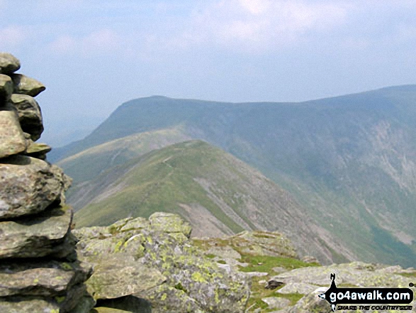
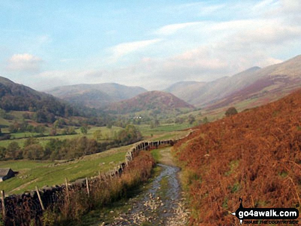
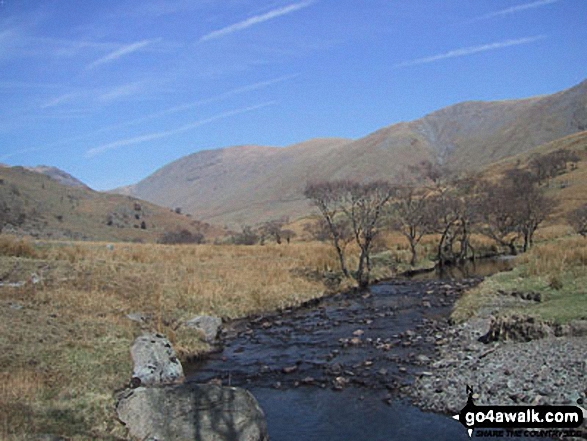
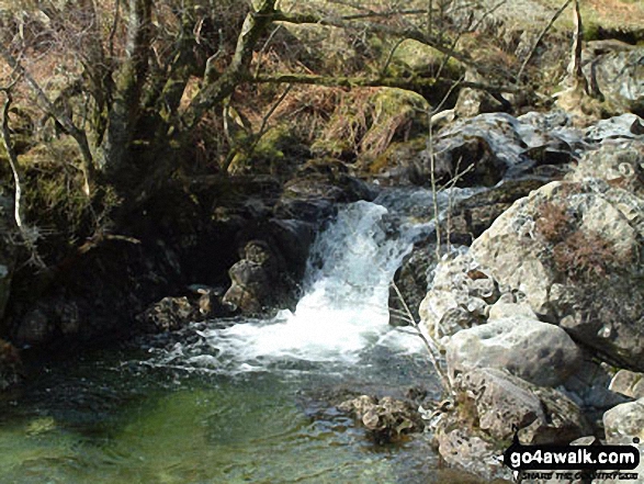
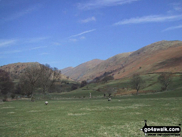
Troutbeck from the path beside Hagg Gill on the East side of Troutbeck Tongue


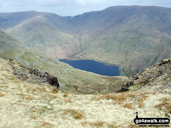
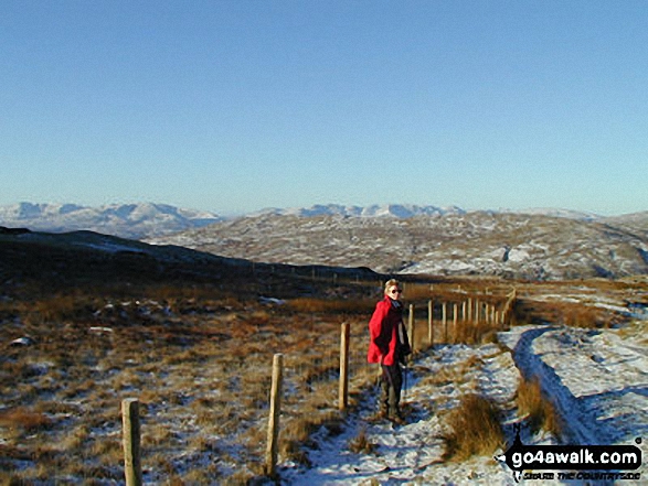
Mardale Ill Bell (left) Nan Bield Pass and Harter Fell (Mardale)(right) with Kentmere Reservoir below from the summit of Yoke

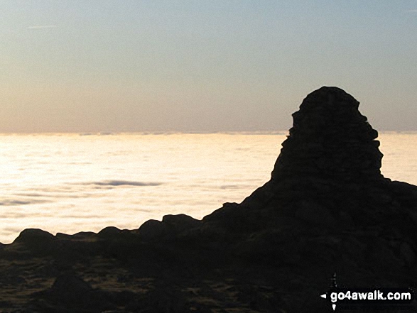
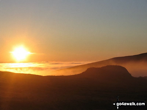
Looking South from the summit of Ill Bell across cloud trapped by a temperature inversion

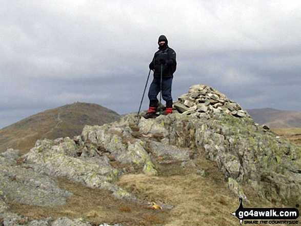

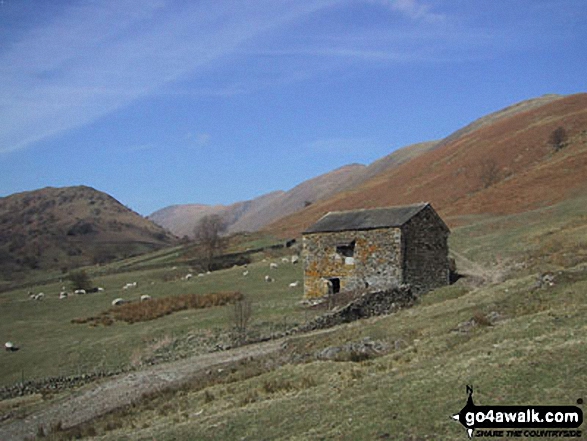
Stony Cove Pike (Caudale Moor) (left), Thresthwaite Mouth and Thornthwaite Crag (right) from the Northern end of Troutbeck Tongue


. . . load all 68 walk photos from Walk c153 Thornthwaite Crag from Troutbeck
Send us your photographs and pictures from your walks and hikes
We would love to see your photographs and pictures from walk c153 Thornthwaite Crag from Troutbeck. Send them in to us as email attachments (configured for any computer) along with your name and where the picture was taken to:
and we shall do our best to publish them.
(Guide Resolution = 300dpi. At least = 660 pixels (wide) x 440 pixels (high).)

You can also submit photos from walk c153 Thornthwaite Crag from Troutbeck via our Facebook Page.
NB. Please indicate where each photo was taken.