Five easy to follow pub walks from The Bridge Inn, Curbar, The Peak District, Derbyshire, England
To reach The Bridge Inn, Curbar, in-car SatNav users should select the Latitude/Longitude (Lat Lon) screen and enter:
Lat = N53.26620 and Lon = W 1.63117
Not familiar with this pub?
Five easy to follow pub walks from The Bridge Inn, Curbar, The Peak District, Derbyshire, England
Scroll down the list of walks below & click on each walk title (in blue) to locate it on the map above.

   |
Vital Statistics:
| Length: | 5.5 miles (8.5 km) |
| Ascent: | 869ft (265m) |
| Time: | 3 hrs |
| Grade: |  |
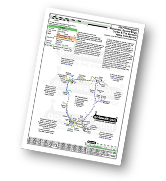
Route Summary:
Baslow - Over End - Wellington's Monument - Eagle Stone - Eaglestone Flat - Baslow Edge - Curbar - Calver - The Derwent Valley Heritage Way - River Derwent - Bridge End - Baslow


|
Vital Statistics:
| Length: | 6.75 miles (11 km) |
| Ascent: | 1,122ft (342m) |
| Time: | 3.75hrs |
| Grade: |  |

Route Summary:
Hay Wood - Longshaw - Froggatt Edge - Curbar Edge - Curbar - The Derwent Valley Heritage Way - The River Derwent - Stocking Farm - The Goit - New Bridge - Stoke Brook - Froggatt Bridge - Derwent Farm - Horse Hay Coppice - Grindleford - Grindleford Church - Hay Wood

|
Vital Statistics:
| Length: | 7.5 miles (12 km) |
| Ascent: | 1,257ft (383m) |
| Time: | 4 hrs |
| Grade: | |
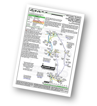
Route Summary:
Baslow - Baslow Nether End - Baslow Over End - Gorse Bank Farm - Grislow Field Farm - Lane Farm - Curbar - The Derwent Valley Heritage Way - The River Derwent - Stocking Farm - The Goit - New Bridge - Stoke Brook - Froggatt Bridge - Froggatt - Curbar Edge - Curbar Gap - Baslow Edge - Eagle Stone - Wellington's Monument - Baslow

|
Vital Statistics:
| Length: | 10 miles (16 km) |
| Ascent: | 1,509ft (460m) |
| Time: | 5.25hrs |
| Grade: |  |

Route Summary:
Baslow - Baslow Nether End - Baslow Over End - Gorse Bank Farm - Grislow Field Farm - Lane Farm - Curbar - The Derwent Valley Heritage Way - The River Derwent - Stocking Farm - The Goit - New Bridge - Stoke Brook - Froggatt Bridge - Derwent Farm - Horse Hay Coppice - Grindleford - Grindleford Church - Hay Wood - Longshaw - Froggatt Edge - Curbar Edge - Curbar Gap - Baslow Edge - Eagle Stone - Wellington's Monument - Baslow

|
Vital Statistics:
| Length: | 10.75 miles (17 km) |
| Ascent: | 1,493ft (455m) |
| Time: | 5½ hrs |
| Grade: |  |

Route Summary:
Grindleford Station - Oaks Wood - Nether Padley - White Edge Moor - Hurkling Stone - White Edge - White Edge (Big Moor) - White Edge (Big Moor) (South East Top) - Curbar Gap - Baslow Edge - Eaglestone Flat - Eagle Stone - Wellington's Monument - Over End - Baslow - The Derwent Valley Heritage Way - Bridge End - River Derwent - Bubnell - Townend Wood - St Mary's Wood - Curbar - Stocking Farm - New Bridge - Froggatt Bridge - Derwent Farm - Horse Hay Coppice - Grindleford - Grindleford Station