Five easy to follow pub walks from The Queens Head Hotel, Troutbeck, The Lake District, Cumbria, England
To reach The Queens Head Hotel, Troutbeck, in-car SatNav users should select the Latitude/Longitude (Lat Lon) screen and enter:
Lat = N54.42603 and Lon = W 2.90488
Tap/mouse over a coloured circle (1-3 easy walks, 4-6 moderate walks, 7-9 hard walks) and click to select.
Tap/mouse over a coloured circle (1-3 easy walks, 4-6 moderate walks, 7-9 hard walks) and click to select.
Five easy to follow pub walks from The Queens Head Hotel, Troutbeck, The Lake District, Cumbria, England
Scroll down the list of walks below & click on each walk title (in blue) to locate it on the map above.
   |
Vital Statistics:
| Length: | 5.5 miles (8.5 km) |
| Ascent: | 1,582ft (482m) |
| Time: | 3.75hrs |
| Grade: |  |
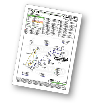
Route Summary:
Troutbeck Bridge - Garburn Road - Backstone Barrow - Sour Howes - Sallows - Garburn Pass - Troutbeck - Troutbeck Bridge
|
Vital Statistics:
| Length: | 6 miles (9.5 km) |
| Ascent: | 2,192ft (668m) |
| Time: | 5 hrs |
| Grade: |  |
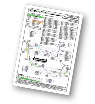
Route Summary:
Ambleside - Stockghyll Force - Wansfell Pike - Baystones (Wansfell) - The Hundreds - Nanny Lane - Troutbeck - Robin Lane - High Skelghyll Farm - Skelghyll Wood - Jenkin Crag - Ambleside
|
Vital Statistics:
| Length: | 8.25 miles (13 km) |
| Ascent: | 1,421ft (433m) |
| Time: | 4½ hrs |
| Grade: | |

Route Summary:
Troutbeck Bridge - Troutbeck - Limefitt Holiday Park - Long Green Head - Ing Bridge - Troutbeck Park - Park Fell Head - Trout Beck - Troutbeck Tongue - Hagg Gill - Lowther Brow - Long Green Head - Limefitt Holiday Park - Troutbeck - Troutbeck Bridge
|
Vital Statistics:
| Length: | 11 miles (17.5 km) |
| Ascent: | 3,410ft (1,039m) |
| Time: | 7½ hrs |
| Grade: |  |

Route Summary:
Troutbeck Bridge - Garburn Road - Backstone Barrow - Sour Howes - Sallows - Garburn Pass - Yoke - Ill Bell - Froswick - Wanfer Crag - Hagg Gill - Trout Beck - Troutbeck Tongue - Lowther Brow - Long Green Head - Limefitt Campsite - Troutbeck - Troutbeck Bridge
|
Vital Statistics:
| Length: | 12.25 miles (19.5 km) |
| Ascent: | 4,194ft (1,278m) |
| Time: | 8.75hrs |
| Grade: |  |
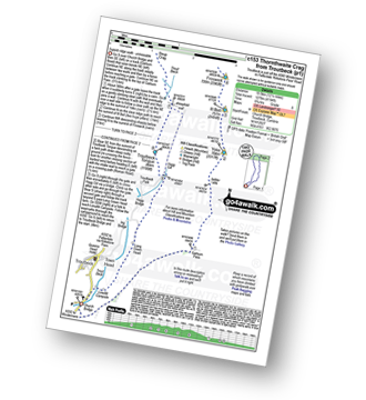
Route Summary:
Troutbeck Bridge - Garburn Pass - Yoke - Ill Bell - Froswick - Thornthwaite Crag - Stony Cove Pike (Caudale Moor) - Doup Crag - Trout Beck - Troutbeck Tongue - Hagg Gill - Lowther Brow - Long Green Head - Limefitt Campsite - Troutbeck - Troutbeck Bridge


