Cressbrook Dale
The White Peak Area,
The Peak District National Park,
Derbyshire, England

See views like this by using any of these 9 easy-to-follow circular walk route maps:

   |
Vital Statistics:
| Length: | 4 miles (6.5 km) |
| Ascent: | 638ft (194m) |
| Time: | 2.25hrs |
| Grade: |  |
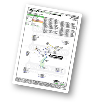


|
Vital Statistics:
| Length: | 5.25 miles (8.5 km) |
| Ascent: | 709ft (216m) |
| Time: | 2.75hrs |
| Grade: | |

Route Summary:
Tideswell - Litton Dale - Litton - Tansley Dale - Cressbrook Dale - Peter's Stone - Wardlow Mires - Litton Edge - Lane Head - Tideswell

|
Vital Statistics:
| Length: | 6 miles (9.5 km) |
| Ascent: | 515ft (157m) |
| Time: | 2.75hrs |
| Grade: | |

Route Summary:
Miller's Dale Station - The Monsal Trail - The River Wye - Miller's Dale - Water-cum-Jolly Dale - Cressbrook Mill - The River Wye - Water-cum-Jolly Dale - Litton Mill - Bellamy's Bank - Miller's Dale Station

|
Vital Statistics:
| Length: | 6 miles (9.5 km) |
| Ascent: | 532ft (162m) |
| Time: | 2.75hrs |
| Grade: | |
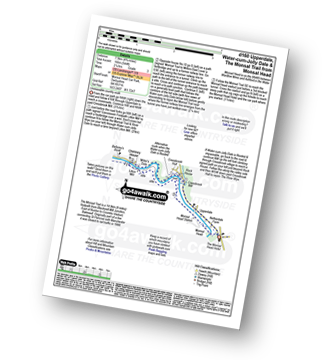
Route Summary:
Monsal Head - Upperdale - The River Wye - Cressbrook Mill - The River Wye - Water-cum-Jolly Dale - Litton Mill - The Monsal Trail - Water-cum-Jolly Dale - Monsal Head Viaduct - Monsal Head

|
Vital Statistics:
| Length: | 6.5 miles (10.5 km) |
| Ascent: | 1,063ft (324m) |
| Time: | 3½ hrs |
| Grade: |  |
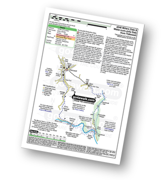
Route Summary:
Tideswell - Litton - Tansley Dale - Cressbrook Dale - Cressbrook - The Monsal Trail - Water-cum-Jolly Dale - Litton Mill - Tideswell Dale - Litton Dale - Tideswell

|
Vital Statistics:
| Length: | 7.75 miles (12.5 km) |
| Ascent: | 840ft (256m) |
| Time: | 3.75hrs |
| Grade: | |

Route Summary:
Miller's Dale Station - The Monsal Trail - The River Wye - Miller's Dale - Water-cum-Jolly Dale - Monsal Head Viaduct - Monsal Head - Upperdale - Cressbrook Mill - The River Wye - Water-cum-Jolly Dale - Litton Mill - Bellamy's Bank - Miller's Dale Station

|
Vital Statistics:
| Length: | 9.75 miles (15.5 km) |
| Ascent: | 1,431ft (436m) |
| Time: | 5 hrs |
| Grade: |  |

Route Summary:
Miller's Dale Station - Monks Dale - The Limestone Way - Tideswell - Litton - Tansley Dale - Cressbrook Dale - Cressbrook - The Monsal Trail - Water-cum-Jolly Dale - Litton Mill - Miller's Dale - Miller's Dale Station

|
Vital Statistics:
| Length: | 11.75 miles (19 km) |
| Ascent: | 1,989ft (606m) |
| Time: | 6.25hrs |
| Grade: |  |

Route Summary:
Eyam - The Cliff - Stoney Middleton - Coombs Dale - Sallet Hole Mine - Rough Side - Black Harry Gate - Blakedon Hollow - High Rake - Longstone Edge - Watershaw Rake - Longstone Moor - Wardlow Hay Cop - Cressbrook Dale - Tansley Dale - Wardlow Mires - Stanley House Farm - Silly Dale - Foolow - Linen Dale - Eyam

|
Vital Statistics:
| Length: | 15.25 miles (24.5 km) |
| Ascent: | 1,759ft (536m) |
| Time: | 7.25hrs |
| Grade: |  |

Route Summary:
Wye Dale - The River Wye - Blackwell Junction - The Monsal Trail - Chee Dale - Miller's Dale Station - Miller's Dale - Litton Mill - Water-cum-Jolly Dale - Cressbrook - Monsal Dale - White Lodge - Deep Dale - Taddington - Sough Top - Chelmorton - Burrs Farm - Marl Dale - Wye Dale
Send us your photographs and pictures of walks and hikes in the British countryside
If you would like to see your digital photographs as part of this collection, please send them as email attachments (configured for any computer) along with your name to:
and we shall do our best to publish them.
(Guide Resolution = 300dpi. At least = 587 pixels (wide) x 440 pixels (high).)

You can also submit photos via our Facebook Page.
NB. Please indicate where each photo was taken.
NB. To see photographs and pictures from a particular walk choose your walk from Walks or use our Walk Search facility.
To see photographs and pictures on, of or from a particular Mountain, Peak, Top or Hill select from Peaks & Mountains' or enter the Mountain, Peak, Top or Hill Name into our 'Photo Search facility.