![]()
Sour Howes
483m (1585ft)
The Far Eastern Fells, The Lake District, Cumbria, England
Tap/mouse over a coloured circle (1-3 easy walks, 4-6 moderate walks, 7-9 hard walks) and click to select.

Not familiar with this top?
   |
|---|
Vital Statistics:
| Length: | 5.5ml (8.5km) |
|---|---|
| Ascent: | 1,582ft (482m) |
| Time: | 3.75hrs |
| Grade: |  (Moderate) (Moderate) |
Route Summary:
Troutbeck Bridge - Garburn Road - Backstone Barrow - Sour Howes - Sallows - Garburn Pass - Troutbeck - Troutbeck Bridge
|
|---|
Vital Statistics:
| Length: | 7.5mls (12km) |
|---|---|
| Ascent: | 1,216ft (462m) |
| Time: | 4.25hrs |
| Grade: |  (Moderate) (Moderate) |

Route Summary:
Ullthwaite Bridge - Croft Head - Meadowplatts Plantation - Capple Howe - Sour Howes - Sallows - Garburn Pass - Crabtree Brow - Kentmere - kentmere Hall - Hall Wood - Kentmere Plantation - Sawmill Cottage - Kentmere - Ullthwaite Bridge
|
|---|
Vital Statistics:
| Length: | 11ml (17.5km) |
|---|---|
| Ascent: | 3,410ft (1,039m) |
| Time: | 7½ hrs |
| Grade: |  (Hard) (Hard) |

Route Summary:
Troutbeck Bridge - Garburn Road - Backstone Barrow - Sour Howes - Sallows - Garburn Pass - Yoke - Ill Bell - Froswick - Wanfer Crag - Hagg Gill - Trout Beck - Troutbeck Tongue - Lowther Brow - Long Green Head - Limefitt Campsite - Troutbeck - Troutbeck Bridge
See Sour Howes and the surrounding tops on our free-to-access 'Google Style' Peak Bagging Maps:
The Far Eastern Fells of The Lake District National Park
Less data - quicker to download
The Whole of The Lake District National Park
More data - might take a little longer to download
See Sour Howes and the surrounding tops on our downloadable Peak Bagging Maps in PDF format:

NB: Whether you print off a copy or download it to your phone, these PDF Peak Baggers' Maps might prove incredibly useful when your are up there on the tops and you cannot get a phone signal.
*This version is marked with the walk routes you need to follow to Walk all 214 Wainwrights in just 59 walks.
You can find Sour Howes & all the walks that climb it on these unique free-to-access Interactive Walk Planning Maps:
1:25,000 scale OS Explorer Map (orange/yellow covers):
1:50,000 scale OS Landranger Map (pink/magenta covers):
 Fellow go4awalkers who have already walked, climbed, summited & bagged Sour Howes
Martin Hartshorne walked up Sour Howes on January 20th, 2026 [from/via/route] Dubbs road [with] finley [weather] Mostly grey but skies but clear. Windy out of tje valley & cold
Andrew Gayne climbed it on April 29th, 2025 [from/via/route] From Troutbeck [with] Becky [weather] Really sunny & hot - In the lakes for 2 days. Drove to Troutbeck & did a circular route up Sour Howes & then Swallows before doubling back. Lovely day & lovely walk with great views
James Hughes bagged it on September 11th, 2024 [from/via/route] c332 The Hagg Gill Round from Troutbeck [weather] Mixed. Odd shower, warm in valleys, cold on tops. Clear visibility. - Stunning & reasonably straight forward easy to navigate walk. Beautiful vistas. Multiple jet fly-bys. Tongue boggy & tusoucky in places. Mortal Man for post walk pint.
Martyn Howarth hiked Sour Howes on May 30th, 2022 [from/via/route] From Troutbeck (Church Bridge) up Garburn Road onto Sour Howes, then over to Sallows, down to Garburn Pass & back down Garburn Road. [with] Angela Howarth, Tilly Howarth, Archie Howarth and Barnaby the dog. [weather] Rather cloudy, but not too cold & no rain to speak of. Visibility OK from time to time.
Caroline Winter summited on April 14th, 2024 [from/via/route] Jesus church, Sour Howes, Sallows [with] Solo [weather] Weather deteriorated to rain & wind, but views across to Stony Cove good
To add (or remove) your name and experiences on this page - Log On and edit your Personal Mountain Bagging Record
. . . [see more walk reports]
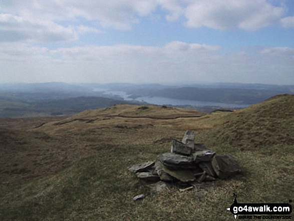
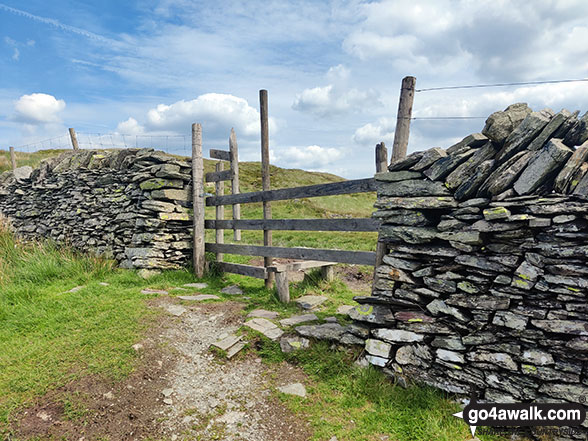
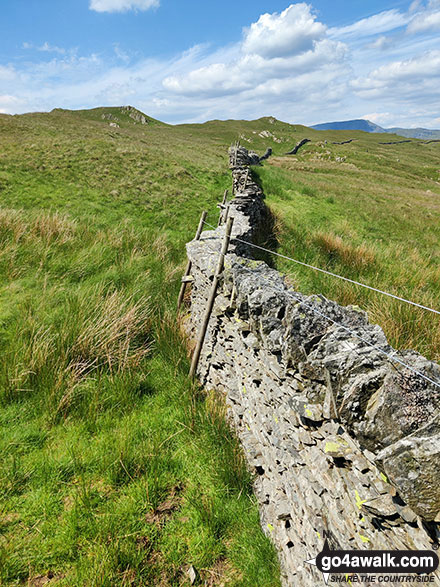
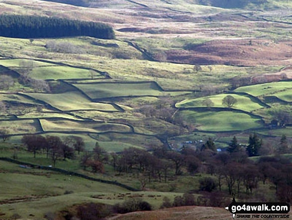
More Photographs & Pictures of views from, on or of Sour Howes
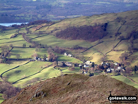

Sign near Ullthwaite Bridge at the start of the route up Sour Howes and Sallows


. . . see all 13 walk photographs & pictures of views from, on or of Sour Howes
Send us your photographs and pictures on, of, or from Sour Howes
If you would like to add your walk photographs and pictures to this page, please send them as email attachments (configured for any computer) along with your name to:
and we shall do our best to publish them.
(Guide Resolution = 300dpi. At least = 660pixels (wide) x 440 pixels (high).)

You can also submit photos via our Facebook Page.
NB. Please indicate where each photo was taken and whether you wish us to credit your photos with a Username or your First Name/Last Name.