Mickle Fell
788m (2586ft)
The North Pennines, County Durham, England
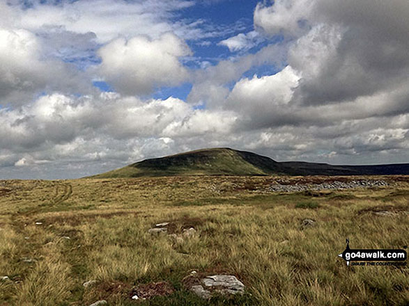
Mickle Fell is the highest point in the county of County Durham.
Tap/mouse over a coloured circle (1-3 easy walks, 4-6 moderate walks, 7-9 hard walks) and click to select.
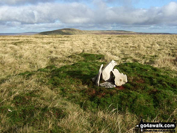
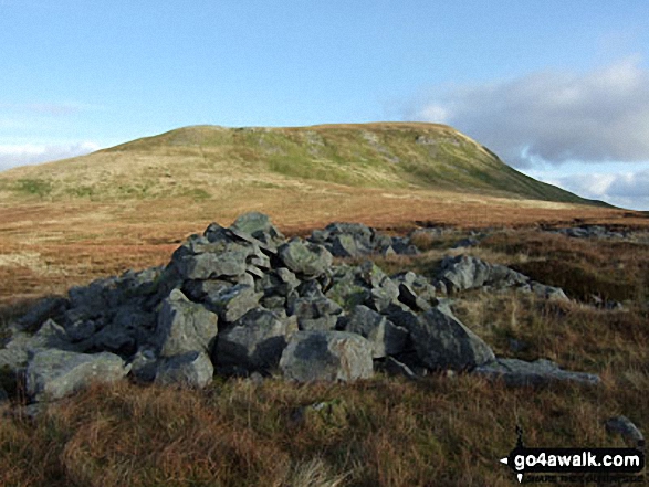
The summit of Mickle Fell is marked by a huge cairn. Mickle Fell's Ordnance Survey Trig Point lies some 2.2km ENE of the summit.
Mickle Fell is inside the Warcop Army Training Area. For safety reasons, public access is restricted to public rights of way during non-firing days only. Access is only permitted during the Christmas period and approximately 12 other weekends per year, which are publicly notified 12 months in advance. Information about these weekends can be obtained by calling 0800 783 5181 or visiting Warcop MoD Firing Range Access Dates. The website is best for long-range planning, while the phone number gives more up-to-date information for the next couple of weeks or so.
Not familiar with this top?
See Mickle Fell and the surrounding tops on our free-to-access 'Google Style' Peak Bagging Map:
The North Pennines
Less data - quicker to download
See Mickle Fell and the surrounding tops on our downloadable Peak Bagging Map in PDF format:
NB: Whether you print off a copy or download it to your phone, this PDF Peak Baggers' Map might prove incredibly useful when your are up there on the tops and you cannot get a phone signal.
You can find Mickle Fell & all the walks that climb it on these unique free-to-access Interactive Walk Planning Maps:
1:25,000 scale OS Explorer Map (orange/yellow covers):
1:50,000 scale OS Landranger Maps (pink/magenta covers):
 Fellow go4awalkers who have already walked, climbed, summited & bagged Mickle Fell
Caroline Winter walked up Mickle Fell on August 28th, 2021 [from/via/route] Windmore green, cattle grid South side, fence line to Mickle Fell, Little Fell. [with] Becky [weather] Very Warm, dry day - The walk destined to be a nightmare from the start…Pass granted in July, but daughter needed to self isolate due to a Covid Contact & I was feeling ill 3 months following AZ jab ! Pass granted for this weekend, so got an early start, but took detour as B6226 from Brough closed. Detour of 45 mins took us back to closed off road. Informed we would need to drive 60 miles to Teeside to get to cattle grid !!! Left car in side road & walked to start & got an extension from Warcop of exit time. Dry spell of weather made easier walking, so decided to go for Little Fell. (That's where it all went wrong-Little Fell entry)
Mark Hanley climbed it on July 7th, 2018 [from/via/route] Cow Green - With permit from MOD.
Kevin Foster bagged it on August 5th, 2017 [from/via/route] Linear route (two cars) from lay-by on B6276 near Grains of the Beck, Lunedale valley to Murton village (car park at north end of village), Eden valley Cumbria [with] Me and Bruce [weather] Sunny, with heavy showers until late afternoon then just sunny. - Mickle Fell lived up to all expectations & we were lucky to have a day with clear summits & an extensive 360 degree panorama. The route of ascent followed a quarry road to Fish Lake & then a shooters track via Close House crags & High Crag. Here we sheltered for a while in a grouse butt from a passing shower & had our lunch before making the final climb to the trig point at the eastern end of Mickle Fell's summit ridge. The next mile of easy walking on grass was a delight with excellent views all round. A huge pile of stones marked the fell's highest point at the western end of the ridge & was a great spot to take photos. I just wished I had brought a Yorkshire flag with me to reclaim the top for my home county. I had a lot of good banter with my friend Bruce (who is County Durham born & bred) about which county had the rightful claim to it...I think the result was a draw.
Darren Mortimer hiked Mickle Fell on July 9th, 2017 [from/via/route] Hilton [with] Dermot Palmer [weather] Overcast with the odd sun & windy on the tops. - Shit walking
Mark Davidson summited on November 16th, 2008 [with] Mike [weather] Lovely & sunny for November - First 'wild camp' in the van
Christine Shepherd conquered it on August 6th, 2016 [from/via/route] Walked from Hilton using walk c407 [with] On my own [weather] Fine & breezy. - A great mountain with a unmissable summit cairn unlike Little Fell.
Chris Faulkner scaled it on August 15th, 2015 [from/via/route] From Hilton, Micle Fell via Burton fell. [with] Michelle Chandler [weather] Bright, sunny with showers - Very long day. 17 miles. Boggy. Mountains littered with shells & shell holes.
Patrick Rogozinski has walked, climbed & bagged Mickle Fell.
To add (or remove) your name and experiences on this page - Log On and edit your Personal Mountain Bagging Record
More Photographs & Pictures of views from, on or of Mickle Fell
Send us your photographs and pictures on, of, or from Mickle Fell
If you would like to add your walk photographs and pictures to this page, please send them as email attachments (configured for any computer) along with your name to:
and we shall do our best to publish them.
(Guide Resolution = 300dpi. At least = 660pixels (wide) x 440 pixels (high).)
You can also submit photos via our Facebook Page.
NB. Please indicate where each photo was taken and whether you wish us to credit your photos with a Username or your First Name/Last Name.

 (Hard)


