   |
Vital Statistics:
| Length: | 7¼mls (11.5km) |
| Ascent: | 1,421ft (433m) |
| Time: | 4hrs |
| Grade: |  |
Route outline for walk wy158:
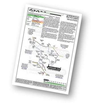
Ewood Lane Car Park - Lydgate - Stoney Royd Lane - Stony Lane - Whirlaw Stones - Bridestones Moor - Hawks Stones - Mount Cross - Red Mires Water - Hudson Moor - Orphan Rocks - Lydgate.
You can find this walk and other nearby walks on these unique free-to-access Interactive Walk Planning Maps:
1:25,000 scale OS Explorer Map (orange/yellow covers):
1:50,000 scale OS Landranger Map (pink/magenta covers):
Send us your photographs and pictures from your walks and hikes
We would love to see your photographs and pictures from walk wy158 Bridestones Moor from Lydgate. Send them in to us as email attachments (configured for any computer) along with your name and where the picture was taken to:
and we shall do our best to publish them.
(Guide Resolution = 300dpi. At least = 660 pixels (wide) x 440 pixels (high).)

You can also submit photos from walk wy158 Bridestones Moor from Lydgate via our Facebook Page.
NB. Please indicate where each photo was taken.


