|
Vital Statistics:
| Length: | 2¼mls (3.5km) |
| Ascent: | 33ft (10m) |
| Time: | 1hrs |
| Grade: |  |
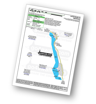
Route outline for walk ve123:
Garda - Lago Di Garda (Lake Garda) - Punta Cornicello - Bardolino,.


Free-to-access Interactive Walk Planning Maps:
1:50,000 scale OS Landranger Maps (pink/magenta covers):
An Interactive Walk Planning Map for OS Landranger KO102 Lago di Garda Monte Baldo - 1:50 000 Scale is not currently available
An Interactive Walk Planning Map for OS Landranger KO692 Monte Baldo Sud - 1:25 000 Scale is not currently available
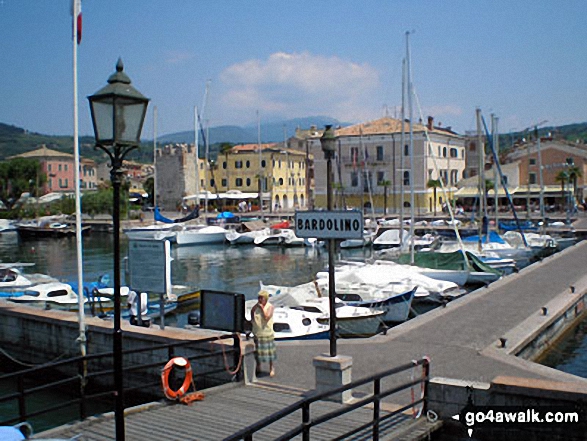
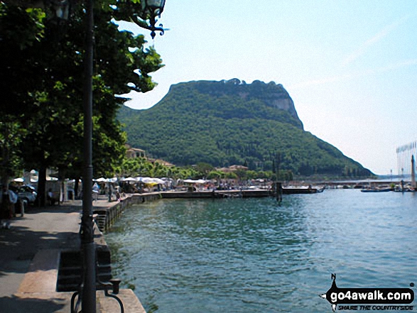
Some Photos and Pictures from Walk ve123 Garda from Bardolino
In no particular order . . .
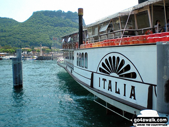
Lake Garda Ferry at Garda with Rocca Vacchia beyond, Lago di Garda (Lake Garda)


Send us your photographs and pictures from your walks and hikes
We would love to see your photographs and pictures from walk ve123 Garda from Bardolino. Send them in to us as email attachments (configured for any computer) along with your name and where the picture was taken to:
and we shall do our best to publish them.
(Guide Resolution = 300dpi. At least = 660 pixels (wide) x 440 pixels (high).)

You can also submit photos from walk ve123 Garda from Bardolino via our Facebook Page.
NB. Please indicate where each photo was taken.