   |
Vital Statistics:
| Length: | 7¾mls (12.5km) |
| Ascent: | 1,575ft (480m) |
| Time: | 4½hrs |
| Grade: |  |

Route outline for walk po138:
Elan Valley Visitor Centre - Caban-coch Reservoir Dam - Caban-coch Reservoir - Craig Cnwch - Nant-y-Gro Dam - Ty'n-y-pant - Dolymynach Reservoir - Llanerch Cawr Longhouse - Craig y Mynach - Nant Gwyllt - Penglaneinon Farm - Coed Aberelan - Garreg-ddu Reservoir - Caban-coch Reservoir - Elan Valley Visitor Centre
Points of Interest/Notes on this walk:
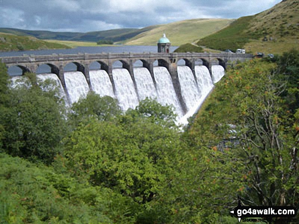
While Derwent Dam in The Peak District was used to train crews for the famous low level Dambusters attack on the Ruhr dams during World War II (& to film scenes for the 1954 film of the event) Barnes Wallace used the small 35ft Nant-y-Gro Dam for the initial tests for his revolutionary 'bouncing bomb'.
Free-to-access Interactive Walk Planning Maps:
1:25,000 scale OS Explorer Map (orange/yellow covers):
An Interactive Walk Planning Map for OS Explorer 200 Llandrindod Wells & Elan Valley is not currently available
1:50,000 scale OS Landranger Map (pink/magenta covers):
An Interactive Walk Planning Map for OS Landranger 147 Elan Valley & Builth Wells is not currently available
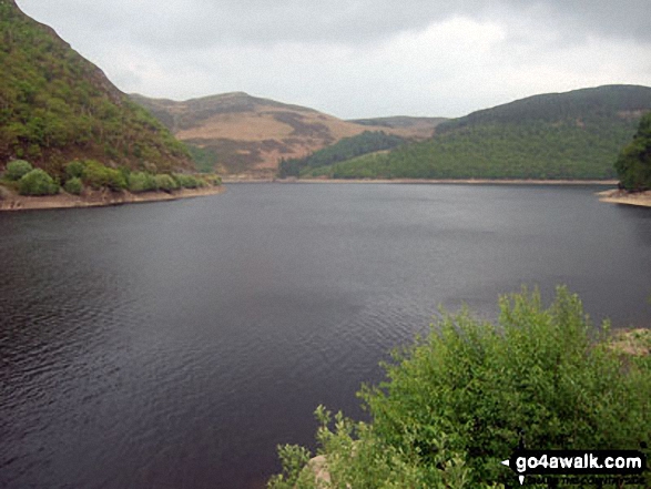
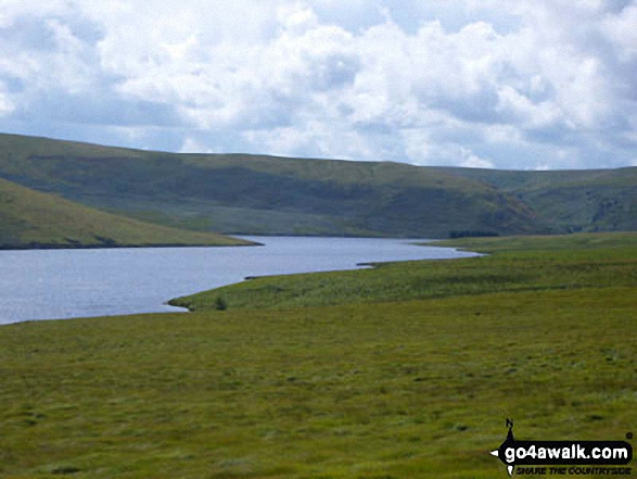
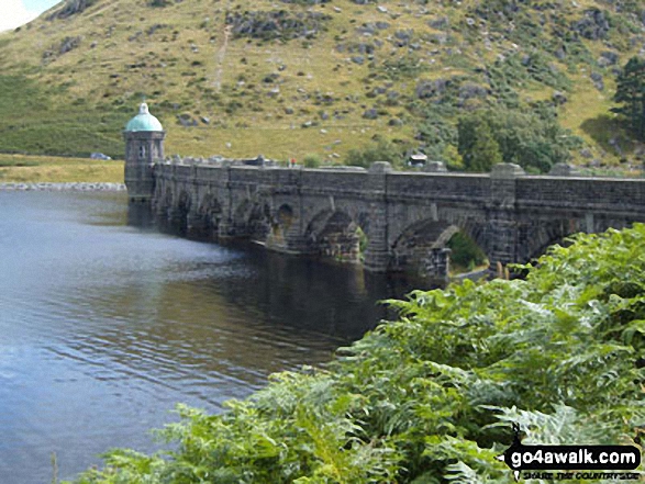
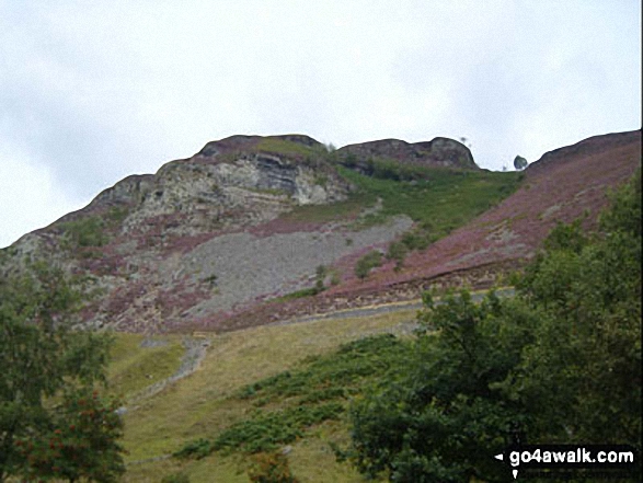
Some Photos and Pictures from Walk po138 A circuit of Caban-coch Reservoir from Elan Village
In no particular order . . .


Send us your photographs and pictures from your walks and hikes
We would love to see your photographs and pictures from walk po138 A circuit of Caban-coch Reservoir from Elan Village. Send them in to us as email attachments (configured for any computer) along with your name and where the picture was taken to:
and we shall do our best to publish them.
(Guide Resolution = 300dpi. At least = 660 pixels (wide) x 440 pixels (high).)

You can also submit photos from walk po138 A circuit of Caban-coch Reservoir from Elan Village via our Facebook Page.
NB. Please indicate where each photo was taken.


