   |
Vital Statistics:
| Length: | 5½mls (9km) |
| Ascent: | 670ft (204m) |
| Time: | 2¾hrs |
| Grade: |  |
Route outline for walk nf172:
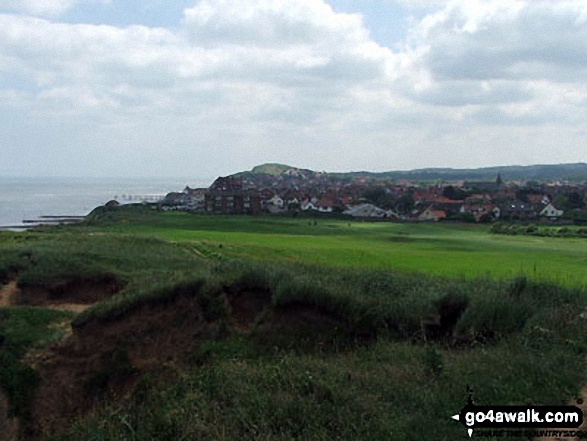
Sheringham - The Peddars Way and Norfolk Coast Path - Life Boat Station - Golf Course - Coast Watch Lookout Station - Sheringham Park - Oak Wood - Gazebo View Point - Sheringham Wood - Sheringham Temple - Hall Farm - Upper Sheringham - Sheringham
Points of Interest/Notes on this walk:
Sheringham Park comprises 1000 acres of varying habitat including woodland, parkland & cliff top. Look out for wildlife, 3 species of deer can be seen alongside a wide variety of birds & butterflies.
National Trails & Long Paths included on this walk:
Part of this walk follows a section of The Peddars Way and Norfolk Coast Path, a 151km (94 miles) linear footpath connecting Knettishall Heath in Suffolk, England with Cromer in Norfolk, England. The Peddars Way and Norfolk Coast Path is waymarked by a National Trail Acorn. For more walks that include a section of this trail see The Peddars Way and Norfolk Coast Path.
Free-to-access Interactive Walk Planning Maps:
1:25,000 scale OS Explorer Map (orange/yellow covers):
An Interactive Walk Planning Map for OS Explorer 252 Norfolk Coast East is not currently available
1:50,000 scale OS Landranger Map (pink/magenta covers):
An Interactive Walk Planning Map for OS Landranger 133 North East Norfolk, Cromer & Wroxham is not currently available
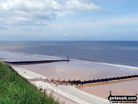
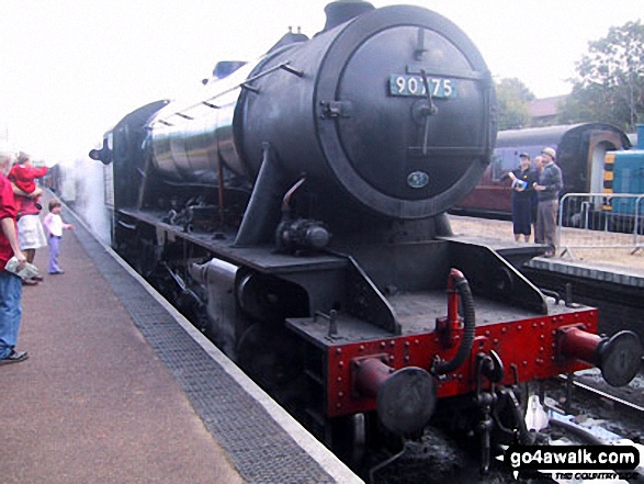
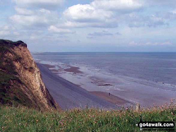
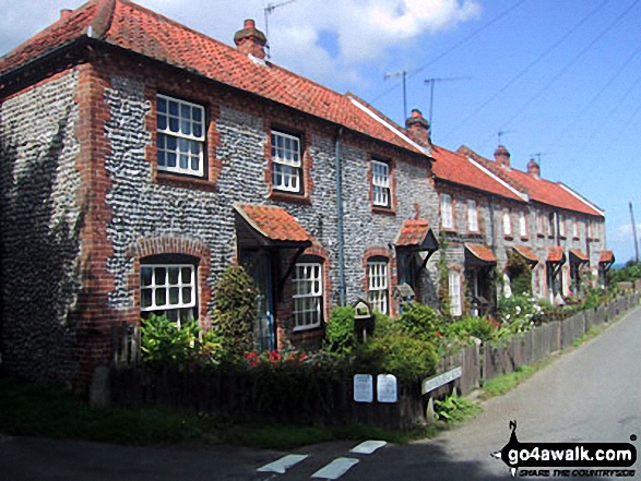
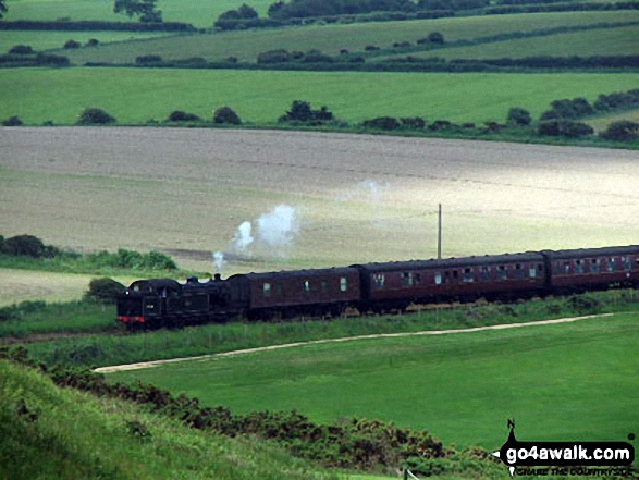
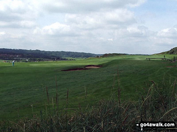
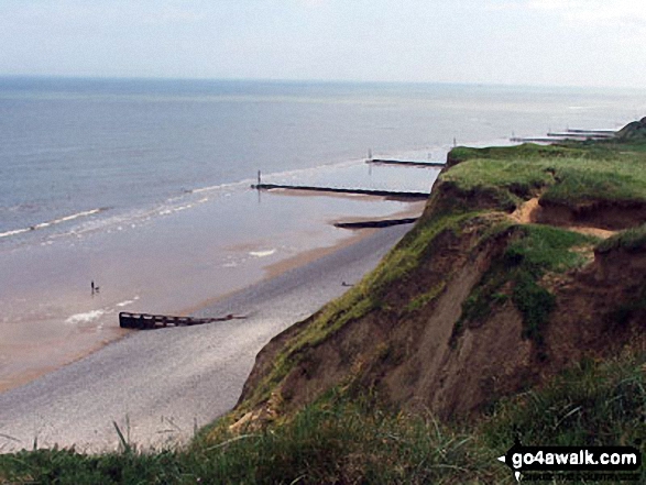
Some Photos and Pictures from Walk nf172 Sheringham Park from Sheringham
In no particular order . . .


Send us your photographs and pictures from your walks and hikes
We would love to see your photographs and pictures from walk nf172 Sheringham Park from Sheringham. Send them in to us as email attachments (configured for any computer) along with your name and where the picture was taken to:
and we shall do our best to publish them.
(Guide Resolution = 300dpi. At least = 660 pixels (wide) x 440 pixels (high).)

You can also submit photos from walk nf172 Sheringham Park from Sheringham via our Facebook Page.
NB. Please indicate where each photo was taken.


