   |
Vital Statistics:
| Length: | 7¾mls (12.5km) |
| Ascent: | 410ft (125m) |
| Time: | 3¼hrs |
| Grade: |  |

Route outline for walk hf142:
Dilwyn - Townsend House - Little Stocking - Stocking Farm - Gad Bridge - Weobley Marsh - Ledgemoor - Garnstone Park - Weobley Castle - Weobley - Bent's House - Homme Shrubs - Dilwyn
Free-to-access Interactive Walk Planning Maps:
1:25,000 scale OS Explorer Map (orange/yellow covers):
An Interactive Walk Planning Map for OS Explorer 202 Leominster & Bromyard is not currently available
1:50,000 scale OS Landranger Map (pink/magenta covers):
An Interactive Walk Planning Map for OS Landranger 148 Presteigne & Hay-on-Wye, Llanandras a’r Gelli Gandryll is not currently available
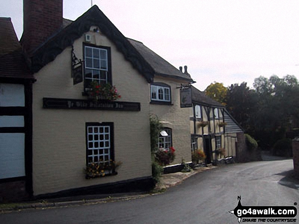
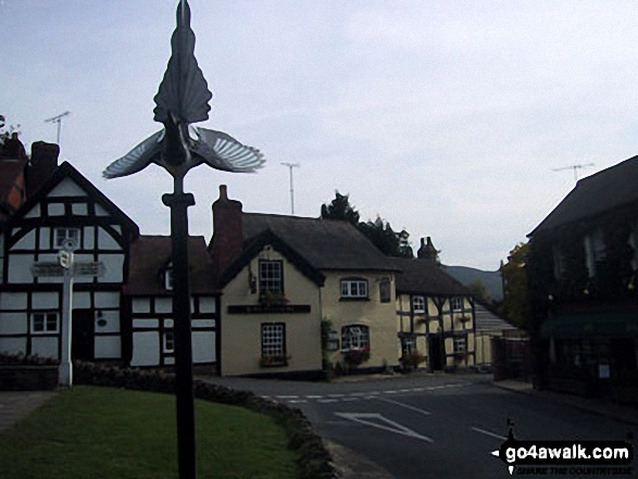
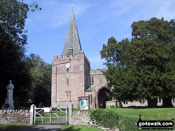
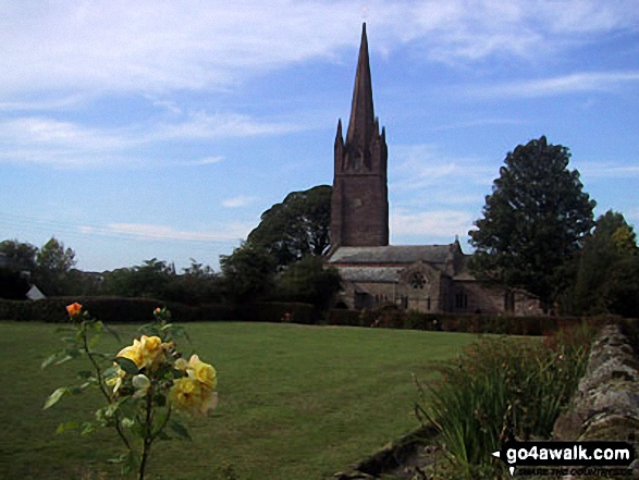
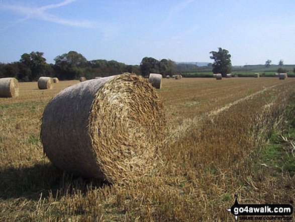
Some Photos and Pictures from Walk hf142 Weobley from Dilwyn
In no particular order . . .

Send us your photographs and pictures from your walks and hikes
We would love to see your photographs and pictures from walk hf142 Weobley from Dilwyn. Send them in to us as email attachments (configured for any computer) along with your name and where the picture was taken to:
and we shall do our best to publish them.
(Guide Resolution = 300dpi. At least = 660 pixels (wide) x 440 pixels (high).)

You can also submit photos from walk hf142 Weobley from Dilwyn via our Facebook Page.
NB. Please indicate where each photo was taken.


