|
Vital Statistics:
| Length: | 6½mls (10.5km) |
| Ascent: | 2,227ft (679m) |
| Time: | 4½hrs |
| Grade: |  |

Route outline for walk h161:
Altnafeadh - The Pass of Glen Coe - Stob Beinn a' Chrulaiste - Beinn a' Chrulaiste - The Kings House Hotel - The Old Military Road - The West Highland Way - Altnafeadh - The Pass of Glen Coe.


Peaks, Summits and Tops reached on this walk:
 0 Munros |
 1 Corbett |
 0 Grahams |
 0 Murdos |
 0 Donalds |
 1 Scottish Marilyn |
 0 Bridgets |
Peak Bagging Statistics for this walk:
The highest point of this walk is Beinn a' Chrulaiste at 857m (2813ft). Beinn a' Chrulaiste is classified as a Corbett (No. 84). and a Scottish Marilyn (285th highest in Scotland, 304th highest in the UK). The summit of Beinn a' Chrulaiste is marked by an Ordnance Survey Trig Point.
National Trails & Long Paths included on this walk:
Part of this walk follows a section of The West Highland Way, a 153km (95 miles) linear footpath connecting Milngavie in East Dumbartonshire, Scotland with Fort William in Highland, Scotland. The West Highland Way is waymarked by a Spannered Thistle. For more walks that include a section of this trail see The West Highland Way.
You can find this walk and other nearby walks on these unique free-to-access Interactive Walk Planning Maps:
1:25,000 scale OS Explorer Map (orange/yellow covers):
1:50,000 scale OS Landranger Map (pink/magenta covers):
Some Photos and Pictures from Walk h161 Beinn a' Chrulaiste from Altnafeadh, The Pass of Glen Coe
In no particular order . . .

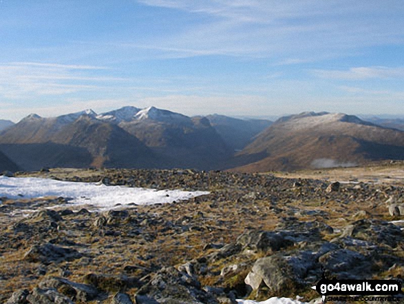
Buachaille Etive Beag and The Three Sisters of Glen Coe (Beinn Fhada, Gearr Aonach & Aonach Dubh) from the lower slopes of Beinn a' Chrulaiste
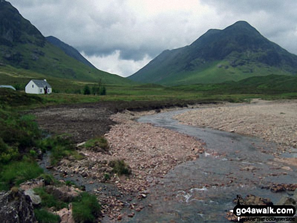
Stob Coire Raineach (Buachaille Etive Beag), Lagangarbh Cottage and The River Coupall from Altnafeadh
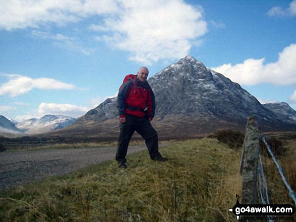
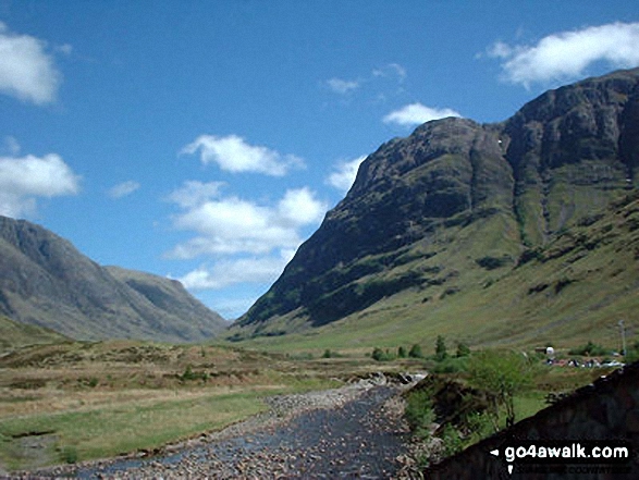
Me on the West Highland Way in The Pass of Glen Coe with Stob Coire Raineach (Buachaille Etive Beag) in the background
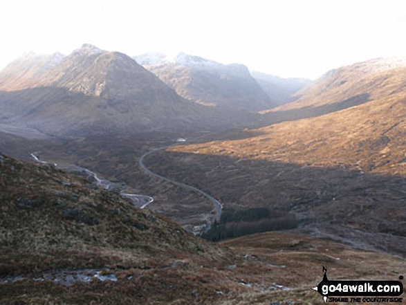


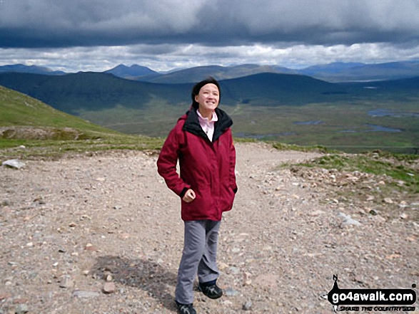
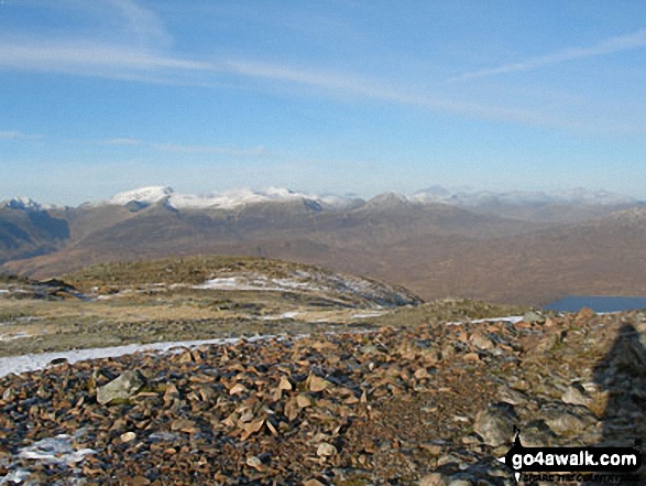
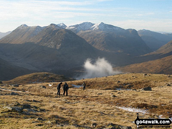
The Three Sisters of Glen Coe (snow capped) and Buachaille Etive Beag (left) from the lower slopes of Beinn a' Chrulaiste
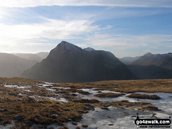
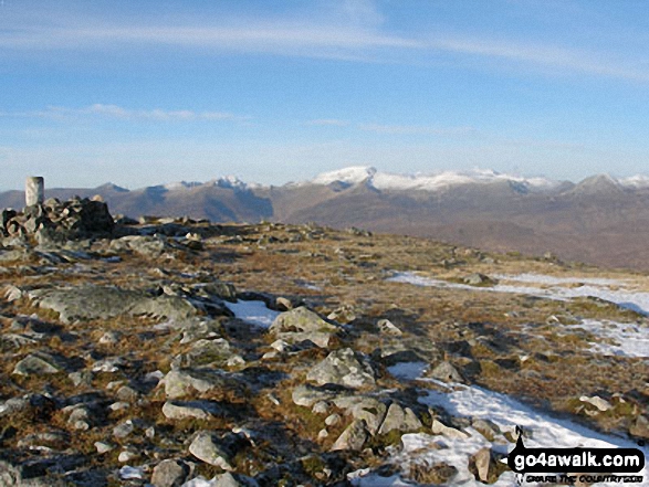


Buachaille Etive Mor (Stob Dearg), Coire na Tulaich and Feadan Ban (Buachaille Etive Mor) with Lagangarbh Cottage in the foreground from Altnafeadh
Send us your photographs and pictures from your walks and hikes
We would love to see your photographs and pictures from walk h161 Beinn a' Chrulaiste from Altnafeadh, The Pass of Glen Coe. Send them in to us as email attachments (configured for any computer) along with your name and where the picture was taken to:
and we shall do our best to publish them.
(Guide Resolution = 300dpi. At least = 660 pixels (wide) x 440 pixels (high).)

You can also submit photos from walk h161 Beinn a' Chrulaiste from Altnafeadh, The Pass of Glen Coe via our Facebook Page.
NB. Please indicate where each photo was taken.