|
Vital Statistics:
| Length: | 12¼mls (19.5km) |
| Ascent: | 5,333ft (1,625m) |
| Time: | 10hrs |
| Grade: |  |

Route outline for walk h137:
Fort William - Achintee - Glen Nevis - The Ben Nevis Tourist Path - The Pony Track - Allt na H-Urchaire (Red Burn) - Lochan Meall an t-Suidhe - Allt a' Mhuilinn - Carn Dearg Meadhonach (Carn Mor Dearg) - Carn Mor Dearg - Carn Mor Dearg Arete (CMD Arete) - Ben Nevis - Ben Nevis Tourist Path - Coire Ghaimhnean (Five Finger Gully) - Lochan Meall an t-Suidhe - Achintee - Fort William


Points of Interest/Notes on this walk:
Despite the fact thousands of people safely climb Ben Nevis every year, the mountain should never be under estimated. The wide tourist path can soon be obliterated by snow making route finding very difficult for the inexperienced. Deep and precipitous crags to the north & west await the careless.
The Carn Mor Dearg arete is a narrow airy ridge with steep drops on either side. It should be avoided in thick weather.
Peaks, Summits and Tops reached on this walk:
 2 Munros |
 0 Corbetts |
 0 Grahams |
 2 Murdos |
 0 Donalds |
 2 Scottish Marilyns |
 0 Bridgets |
Peak Bagging Statistics for this walk:
The highest point of this walk is Ben Nevis at 1344m (4411ft). Ben Nevis is classified as a Munro (No. 1) and a Scottish Marilyn (1st highest in Scotland,Highest in the UK). Ben Nevis is also known as a Murdo (1st highest in Scotland). Ben Nevis means 'Poisonous Mountain' and is pronounced 'byn nevis'.
The summit of Ben Nevis is marked by an Ordnance Survey Trig Point, cairn, shelter & ruins. Ben Nevis is the highest point in the county of Highland, the highest point in the Grampian Mountains, the highest point in Scotland, the highest point in the United Kingdom, the highest point in Great Britain and the highest point in The British Isles.
Completing this walk will also take you to the top of Carn Mor Dearg at 1220m (4004ft). Carn Mor Dearg is classified as a Munro (No. 9) and a Scottish Marilyn (6th highest in Scotland, 6th highest in the UK). Carn Mor Dearg is also known as a Murdo (11th highest in Scotland). Carn Mor Dearg means 'Big Red Hill' and is pronounced 'caarn more jerrack'.
The summit of Carn Mor Dearg is marked by a cairn.
You will also reach the summit of Carn Dearg Meadhonach (Carn Mor Dearg) at 1179m (3869ft). Carn Dearg Meadhonach (Carn Mor Dearg) is Unclassified
You can find this walk and other nearby walks on these unique free-to-access Interactive Walk Planning Maps:
1:25,000 scale OS Explorer Map (orange/yellow covers):
1:50,000 scale OS Landranger Map (pink/magenta covers):
Some Photos and Pictures from Walk h137 Ben Nevis and Carn Mor Dearg from Achintee, Fort William
In no particular order . . .
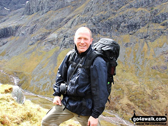

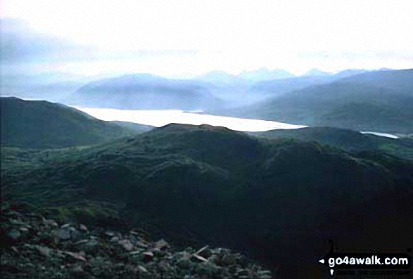


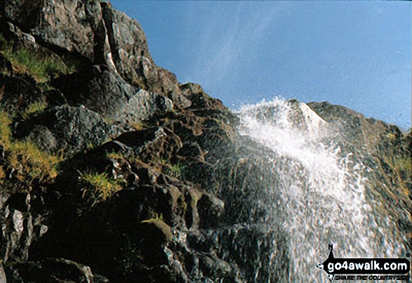



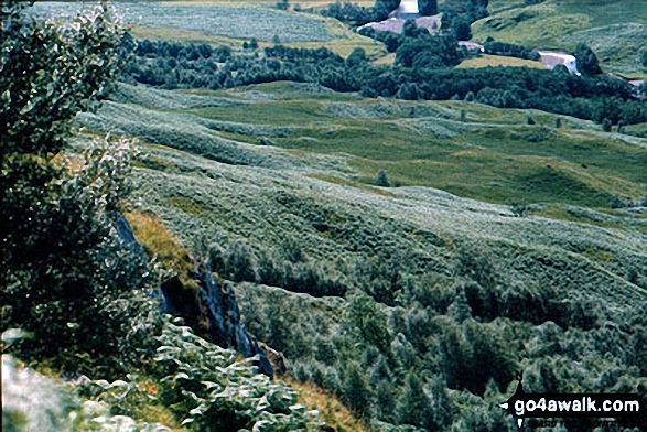
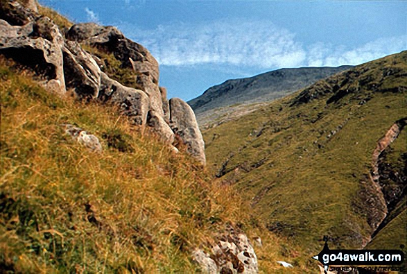
. . . load all 124 walk photos from Walk h137 Ben Nevis and Carn Mor Dearg from Achintee, Fort William
Send us your photographs and pictures from your walks and hikes
We would love to see your photographs and pictures from walk h137 Ben Nevis and Carn Mor Dearg from Achintee, Fort William. Send them in to us as email attachments (configured for any computer) along with your name and where the picture was taken to:
and we shall do our best to publish them.
(Guide Resolution = 300dpi. At least = 660 pixels (wide) x 440 pixels (high).)

You can also submit photos from walk h137 Ben Nevis and Carn Mor Dearg from Achintee, Fort William via our Facebook Page.
NB. Please indicate where each photo was taken.