   |
Vital Statistics:
| Length: | 8mls (12km) |
| Ascent: | 1,759ft (536m) |
| Time: | 4½hrs |
| Grade: |  |
Route outline for walk co125:
Crumplehorn - Polperro - Landaviddy Manor - Raphael - Great Tregue - Lansallos - West Coombe - The South West Coast Path - East Coombe - Broad Cove - Shag Rock - Colours Cove - Chapel Cliff - Polperro - Crumplehorn
National Trails & Long Paths included on this walk:
Part of this walk follows a section of The South West Coast Path, a 966km (600 miles) linear footpath connecting Minehead in Somerset, England with South Haven Point in Dorset, England. The South West Coast Path is waymarked by a National Trail Acorn. For more walks that include a section of this trail see The South West Coast Path.
You can find this walk and other nearby walks on these unique free-to-access Interactive Walk Planning Maps:
1:25,000 scale OS Explorer Map (orange/yellow covers):
1:50,000 scale OS Landranger Map (pink/magenta covers):
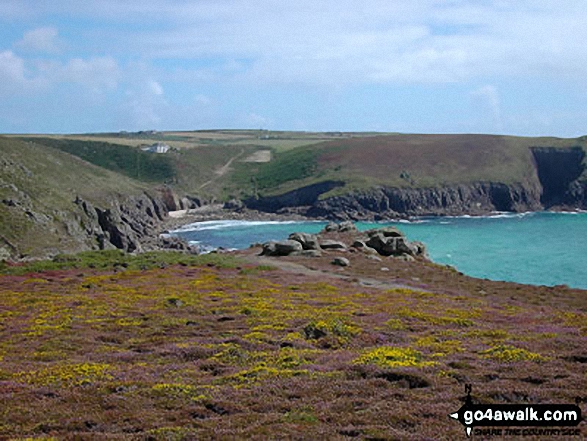
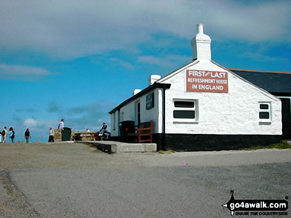
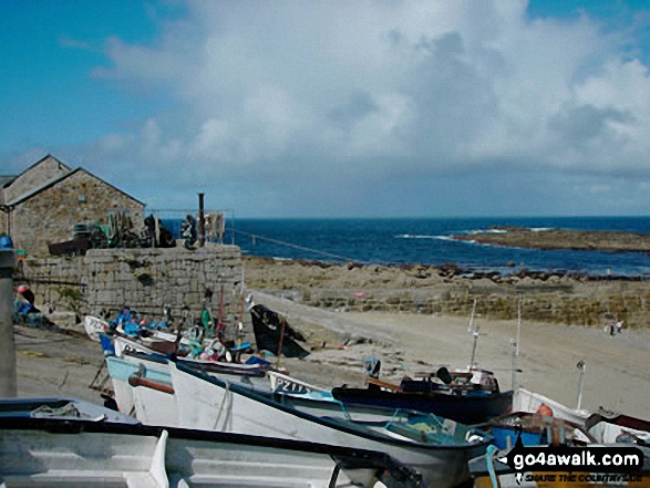
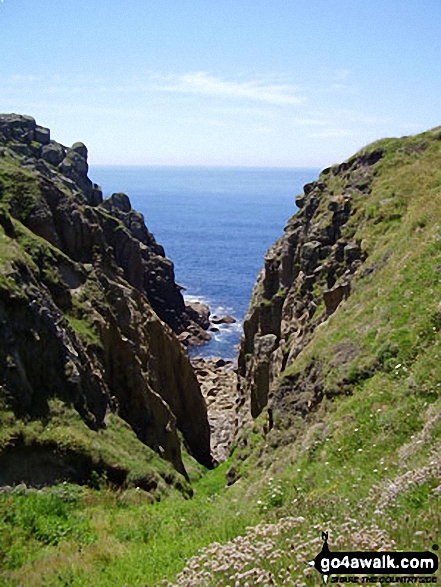
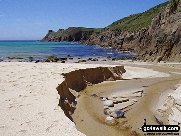
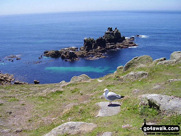
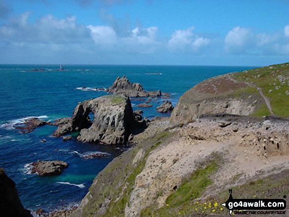
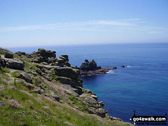
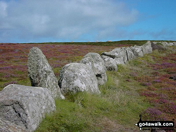
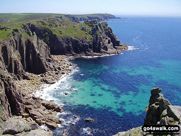
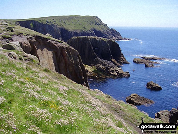
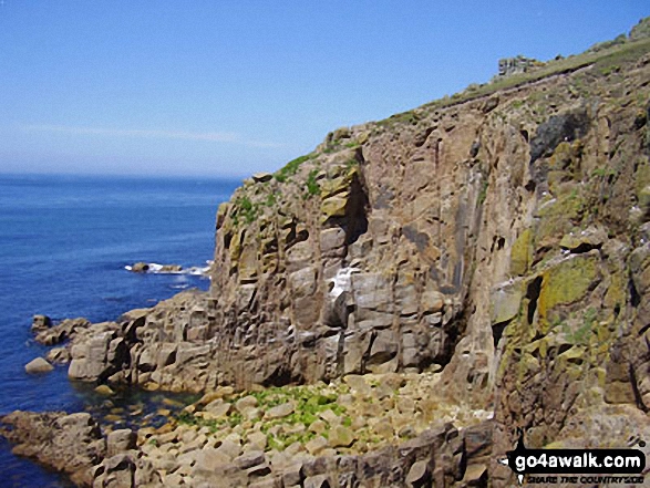
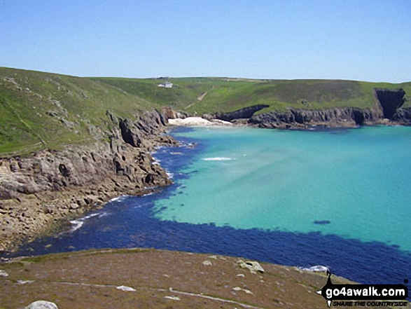
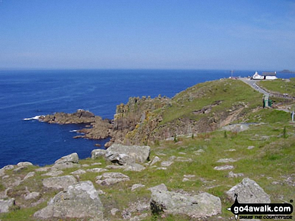
Some Photos and Pictures from Walk co125 Polperro and West Coombe from Crumplehorn
In no particular order . . .


Send us your photographs and pictures from your walks and hikes
We would love to see your photographs and pictures from walk co125 Polperro and West Coombe from Crumplehorn. Send them in to us as email attachments (configured for any computer) along with your name and where the picture was taken to:
and we shall do our best to publish them.
(Guide Resolution = 300dpi. At least = 660 pixels (wide) x 440 pixels (high).)

You can also submit photos from walk co125 Polperro and West Coombe from Crumplehorn via our Facebook Page.
NB. Please indicate where each photo was taken.


