Walk Fire Beacon Point from Boscastle

Superb coastal views from an iconic harbour

This 7 mile, Grade 5 (Moderate), easy-to-follow, hand-crafted walk, complete with GPS Waypoints, starts at Boscastle & will take you about 4½ hrs to complete.


Download Walk PDF Icon
Download GPX Track Icon
Download GPS Waypoints Icon

Download Walk co103 Route Map

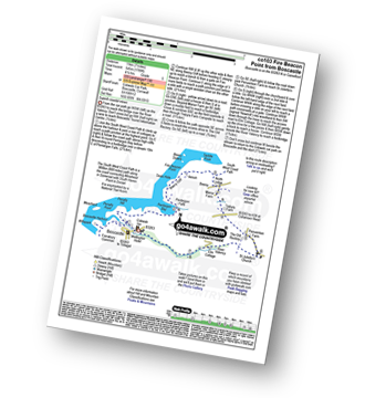
Detailed walk route map PDF
complete with GPS Waypoints

Vital Statistics:

Walk No.: co103
Length: 7 miles (11km)
Ascent: 1789 ft (545m)
Time: 4½ hours
Grade: Walk Grade 5 (Moderate) Icon
Walk Type:High Mountains
Gear Needed:Full mountain gear including boots, warm layers, waterproofs, food & water, and good weather

Route outline for this walk:

Boscastle  -  The South West Coast Path  -  River Valency  -  Boscastle Harbour  -  Penally Point  -  Penally Hill  -  Pentargon Bay  -  Pentargon Falls  -  Beeny Cliff  -  Seals Hole  -  Fire Beacon Point  -  Beeny  -  Trebyla Farm  -  Penvention Farm  -  St Julietta's Church  -  River Valency  -  Boscastle


Peaks, Summits and Tops reached on this walk:

Hewitt Icon
0
English
Mountains
Wainwright Icon
0
Wainwrights
English Nuttall Icon
0
English
Nuttalls
Dewey Icon
0
English
Deweys
Wainwright Outlying Fell Icon
0
Wainwright
Outlying Fells
Marilyn Icon
0
Marilyns
Bridget Icon
0
Bridgets

Top


Be Adventure Smart

If walking in the Lake District (and anywhere else) please be adventure smart.

Ask yourself 5 questions before you set off:

Note that there is no mobile phone or WiFi coverage in many parts of the Lake District

A dedicated GPS Device can be a good navigational aid, but only if you know how to use it properly. See The Myths and Truths about GPS for Walking and Hiking

National Trails & Long Paths included on this walk:

Part of this walk follows a section of The South West Coast Path, a 966km (600 miles) linear footpath connecting Minehead in Somerset, England with South Haven Point in Dorset, England. The South West Coast Path is waymarked by a National Trail Acorn. For more walks that include a section of this trail see The South West Coast Path.


Free-to-access Interactive Walk Planning Maps:


1:25,000 scale OS Explorer Map (orange/yellow covers):

An Interactive Walk Planning Map for OS Explorer 111 Bude, Boscastle & Tintagel is not currently available


1:50,000 scale OS Landranger Map (pink/magenta covers):

An Interactive Walk Planning Map for OS Landranger 190 Bude and Clovelly is not currently available


Top


Some Photos and Pictures from Walk Fire Beacon Point from Boscastle

In no particular order . . .

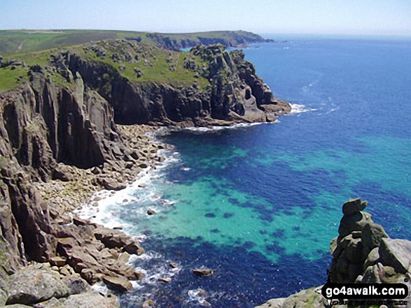
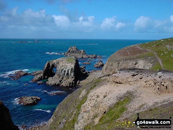
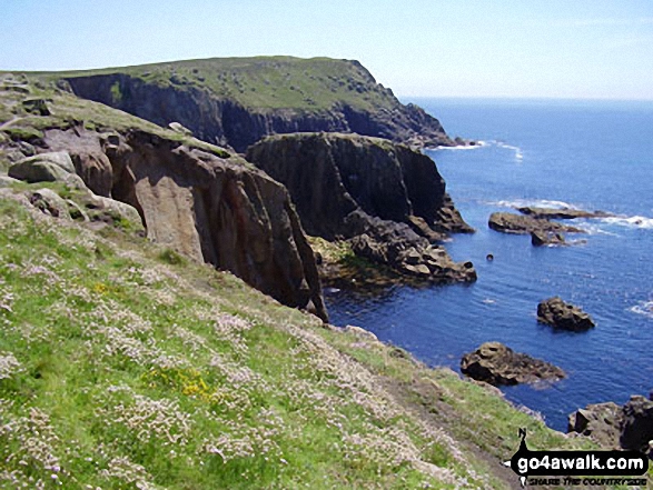
Land's End from The South West Coast Path

Land's End from The South West Coast Path

Photo: Rob Peel (1)

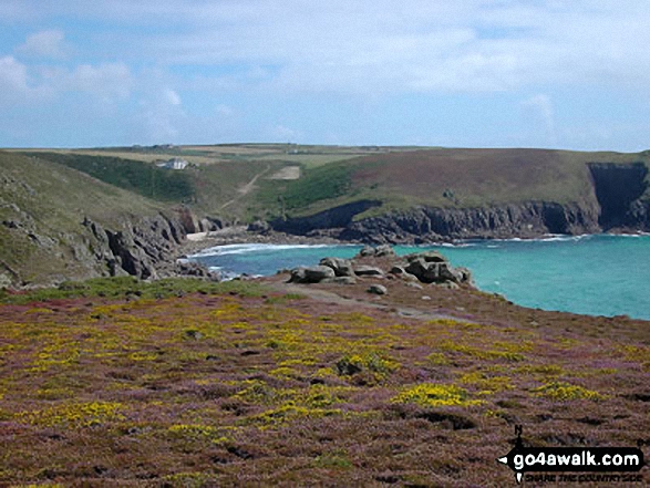
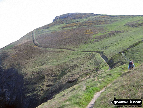
Looking North from just below Fire Beacon Point

Looking North from just below Fire Beacon Point

Photo: Jo Knight (2)

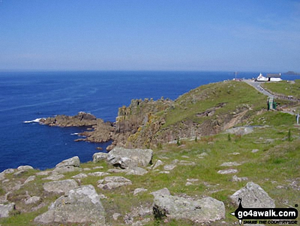
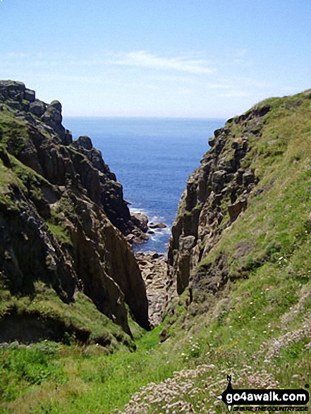
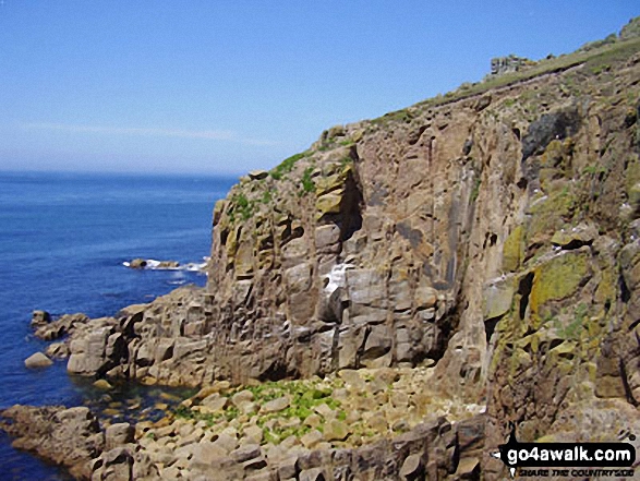
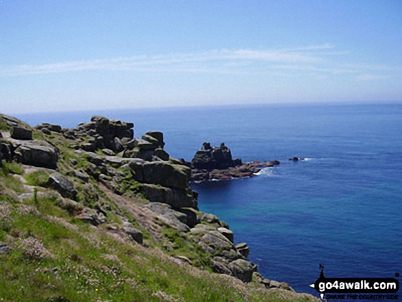
On the South West Coast Path, Land's End

On the South West Coast Path, Land's End

Photo: Rob Peel (5)

Heading for Trevilley, Land's End

Heading for Trevilley, Land's End

Photo: Stephen Worth (14)

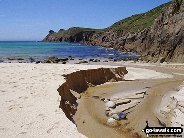
Mill Bay or Nanjizal on The South West Coast Path near Land's End

Mill Bay or Nanjizal on The South West Coast Path near Land's End

Photo: Rob Peel (11)

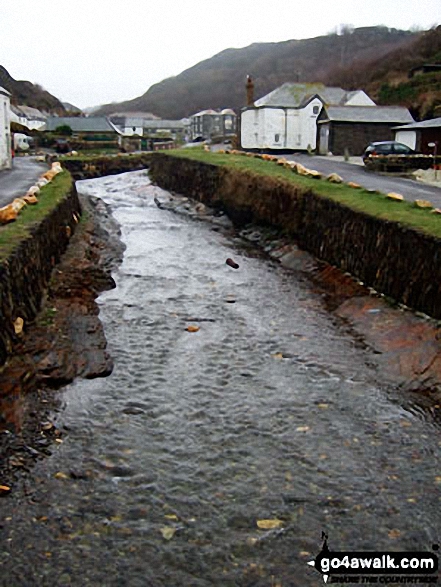
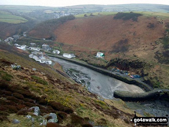
The River Valancy in Boscastle Harbour

The River Valancy in Boscastle Harbour

Photo: Ken Howson (2)

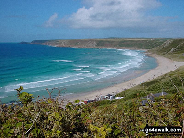
Sennan Cove, Land's End

Sennan Cove, Land's End

Photo: Stephen Worth (16)

Mill Bay near Land's End

Mill Bay near Land's End

Photo: Rob Peel (8)

The River Valency approaching Boscastle

The River Valency approaching Boscastle

Photo: Jo Knight (4)

Walking The South West Coast Path near Land's End

Walking The South West Coast Path near Land's End

Photo: Stephen Worth (13)


. . . load all 31 pictures & photos from this walk

Top


Send us your photographs and pictures from your walks and hikes

Send them in to us as email attachments (configured for any computer) along with your name/username and where the picture was taken to:

and we shall do our best to publish them.

(Guide Resolution = 300dpi. At least = 660 pixels (wide) x 440 pixels (high).)

Facebook Logo

You can also submit photos via our Facebook Page.

NB. Please indicate where each photo was taken so we can match it to a walk route.


Knowing that Nature never did betray, the Heart that loved her - William Wordsworth: 1770-1850
Follow go4awalk.com on Twitter Follow go4awalk.com on Facebook


Find new Friends to go walking with

Walk all 214 Wainwrights in just 59 Walks. Download GPS Waypoints - Great Walks you must not miss!

Walk The Yorkshire Three Peaks Challenge Walk - All the Latest Route Information, GPS Waypoints and Split Times to keep you on Schedule

Walk The British Three Peaks Challenge Walk - All the Latest Route Information and GPS Waypoints

See our pick of The Best Walks in The Lake District - Great Walks you must not miss!

Walk our pick of the Best Lake District Ridge Walks - Great Walks you must not miss!

Walk our pick of the Best Lake District Walks to do in the rain - Great Walks you must not miss!

Walk our pick of The Best Walks in Snowdonia - Great Walks you must not miss!

Walk our pick of The Best Ridge Walks in Wales - Walks you must not miss!

Walk our pick of The Best Walks in The Brecon Beacons - Great Walks you must not miss!

Walk our pick of The Best Walks in The Yorkshire Dales - Walks you must not miss!

Walk our pick of The Best Walks in The Peak District - Walks you must not miss!

Walk our pick of The Best Walks in The Forest of Bowland - Walks you must not miss!

Walk our pick of The Best Walks in Shropshire - Walks you must not miss!

Walk our pick of The Best Walks in Cheshire - Walks you must not miss!

Walk our pick of The Best Walks in Lancashire - Walks you must not miss!

Not sure where to walk next? Try Peak Bagging - Great Walks you must not miss!

Not sure where to walk next? Walk part of a National Trail - Great Walks you must not miss!

Walks with Downloadable and Uploadable GPS Waypoint Data

Walking Kit and Gear Tested by Walkers

Full Site Search
Subscribe and Log On to hide external ads