   |
Vital Statistics:
| Length: | 7¼mls (11.5km) |
| Ascent: | 683ft (208m) |
| Time: | 3¼hrs |
| Grade: |  |

Route outline for walk c250:
Bowness Knott Car Park - Bowness Plantations - River Liza - Ennerdale Water - Coast To Coast Path - Robin Hood's Chair - Anglers' Crag - Ennerdale Weir - River Ehen - Ennerdale Water - Bowness Knott Car Park


You can find this walk and other nearby walks on these unique free-to-access Interactive Walk Planning Maps:
1:25,000 scale OS Explorer Map (orange/yellow covers):
1:50,000 scale OS Landranger Map (pink/magenta covers):
Some Photos and Pictures from Walk c250 A Circuit of Ennerdale Water
In no particular order . . .
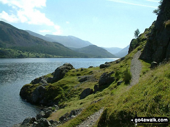

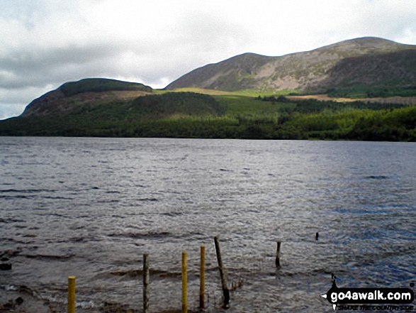
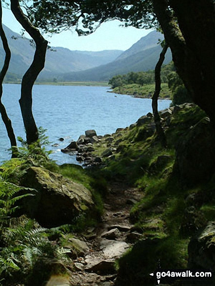
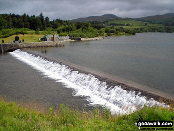
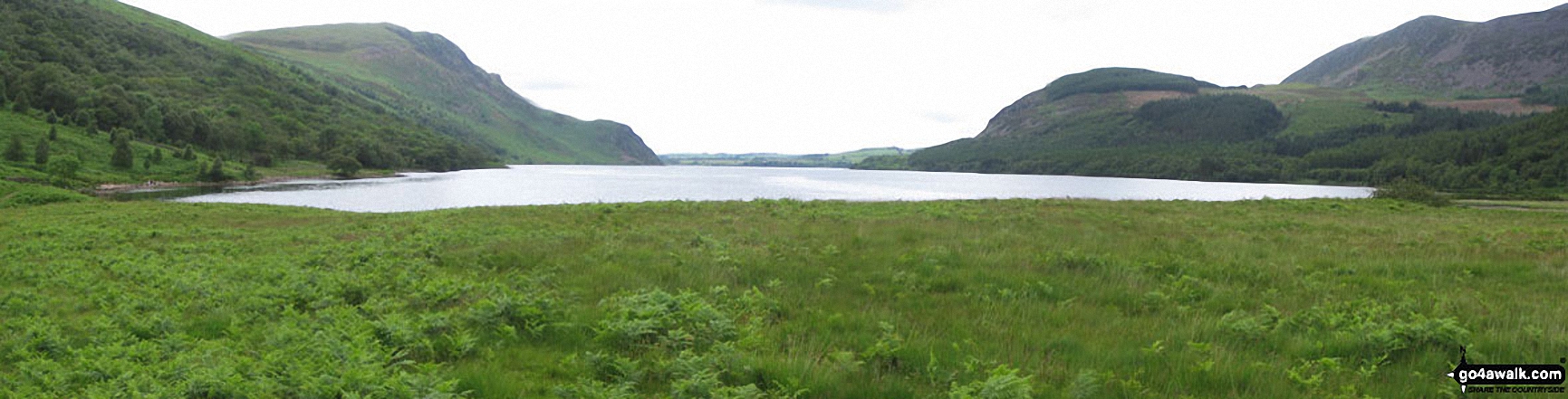
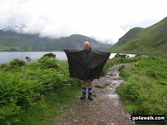
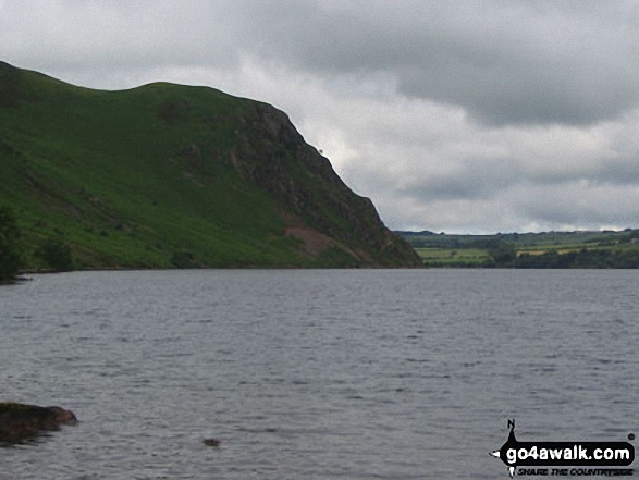
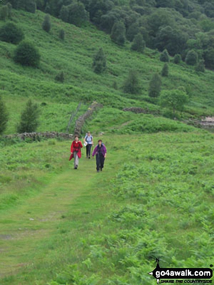
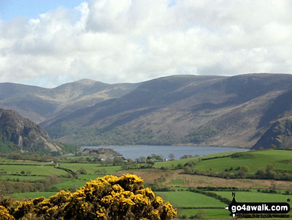
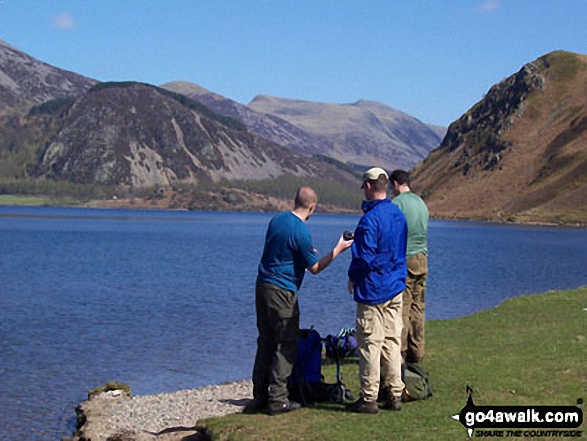

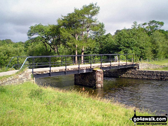
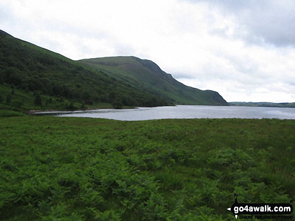
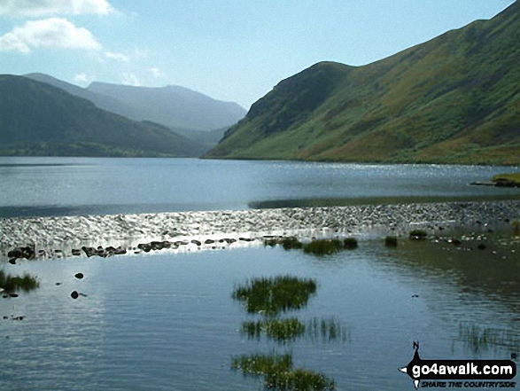


Ennerdale Water from near Bleach Green Cottages at the Western end of the lake
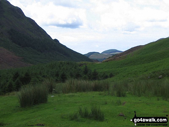

. . . load all 30 walk photos from Walk c250 A Circuit of Ennerdale Water
Send us your photographs and pictures from your walks and hikes
We would love to see your photographs and pictures from walk c250 A Circuit of Ennerdale Water. Send them in to us as email attachments (configured for any computer) along with your name and where the picture was taken to:
and we shall do our best to publish them.
(Guide Resolution = 300dpi. At least = 660 pixels (wide) x 440 pixels (high).)

You can also submit photos from walk c250 A Circuit of Ennerdale Water via our Facebook Page.
NB. Please indicate where each photo was taken.


