   |
Vital Statistics:
| Length: | 6½mls (10.5km) |
| Ascent: | 643ft (196m) |
| Time: | 3hrs |
| Grade: |  |
Route outline for walk c138:
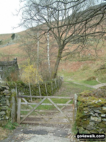
Patterdale - Noran Bank Farm - Greenbank Farm - Lane Head - Deepdale Bridge - Low Wood - Cow Bridge - Brothers Water - Hartsop Hall - Sykeside - Brothers Water - Hartsop - Eden Beck - Hartsop Fold - Angletarn Beck - Beckstones - Crookabeck - Dubhow - Rooking - Patterdale
You can find this walk and other nearby walks on these unique free-to-access Interactive Walk Planning Maps:
1:25,000 scale OS Explorer Map (orange/yellow covers):
1:50,000 scale OS Landranger Map (pink/magenta covers):
Some Photos and Pictures from Walk c138 Brothers Water from Patterdale
In no particular order . . .


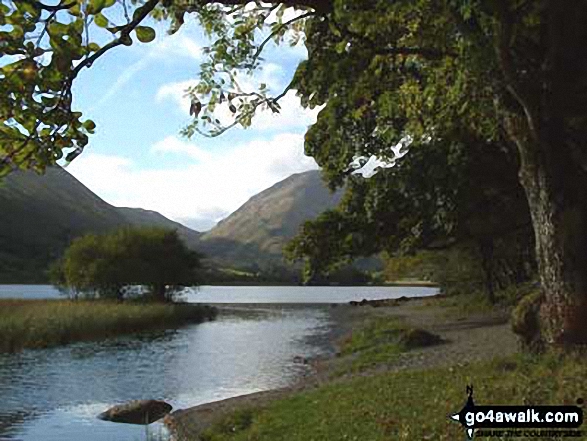
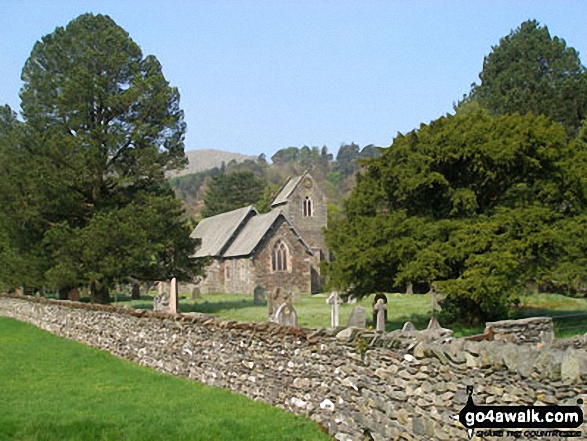
Hartsop Village with Grey Crag towering beyond from the shores of Brothers Water
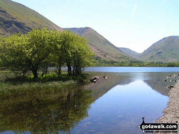
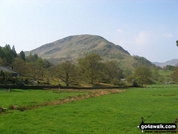
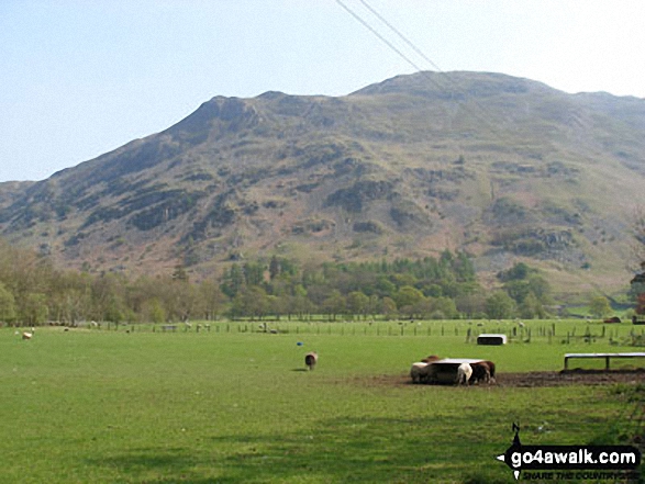
Hartsop Dodd across Brothers Water with Gray Crag (Hayeswater) (far left) and Stony Cove Pike (Caudale Moor) (far right)
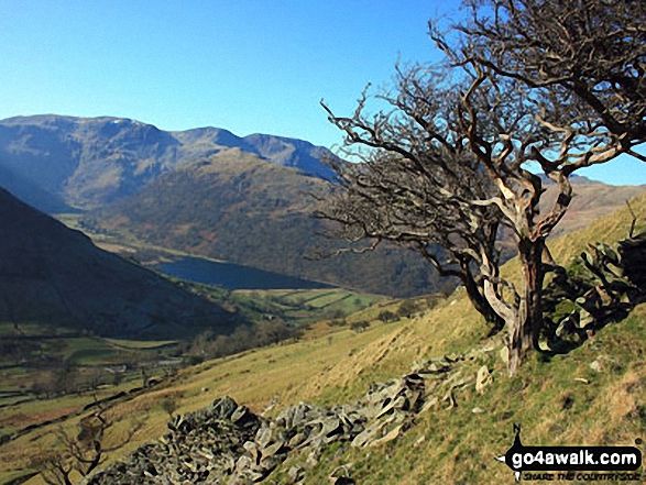
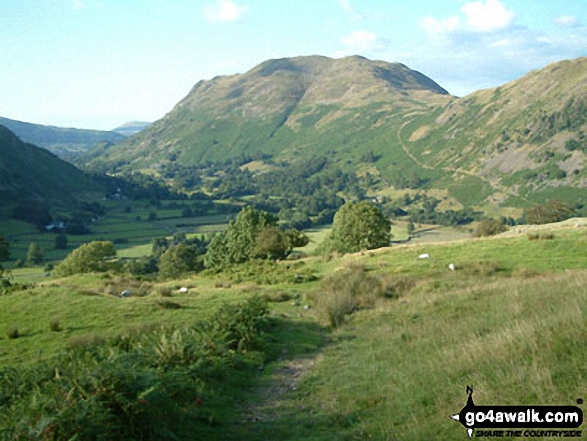
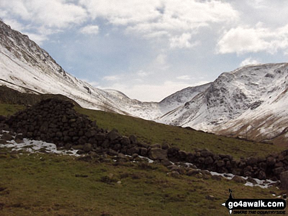
Dove Crag, Hart Crag and Fairfield dominate the skyline beyond Brothers Water


Early Morning Mist nr Hartsop Village with The Angletarn Pikes and Place Fell in the background

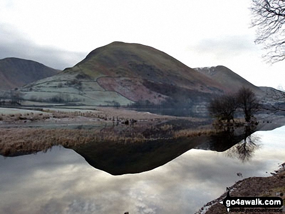
The lower slopes of Hartsop Dodd (left), Caudale Head, The Kirkstone Pass and High Hartsop Dodd (right, behind the tree) reflected in Brothers Water in the snow


Send us your photographs and pictures from your walks and hikes
We would love to see your photographs and pictures from walk c138 Brothers Water from Patterdale. Send them in to us as email attachments (configured for any computer) along with your name and where the picture was taken to:
and we shall do our best to publish them.
(Guide Resolution = 300dpi. At least = 660 pixels (wide) x 440 pixels (high).)

You can also submit photos from walk c138 Brothers Water from Patterdale via our Facebook Page.
NB. Please indicate where each photo was taken.


