   |
Vital Statistics:
| Length: | 5mls (8km) |
| Ascent: | 230ft (70m) |
| Time: | 2hrs |
| Grade: |  |
Route outline for walk bu196:
Little Missenden - The South Bucks Way - Lower Park - Shardeloes Lake - Amersham Cricket Ground - Lower Park House - Wheatley Wood - Mop End - Mop End Farm - Taby's Lane - Breaches Wood - Little Missenden
National Trails & Long Paths included on this walk:
Part of this walk follows a section of The South Bucks Way, a 37km (23 miles) linear footpath connecting Coombe Hill in Buckinghamshire, England with Denham in Buckinghamshire, England. The South Bucks Way is waymarked by named posts. For more walks that include a section of this trail see The South Bucks Way.
You can find this walk and other nearby walks on these unique free-to-access Interactive Walk Planning Maps:
1:25,000 scale OS Explorer Map (orange/yellow covers):
An Interactive Walk Planning Map for OS Explorer 172 Chiltern Hills East, High Wycombe, Maidenhead is not currently available
1:50,000 scale OS Landranger Map (pink/magenta covers):
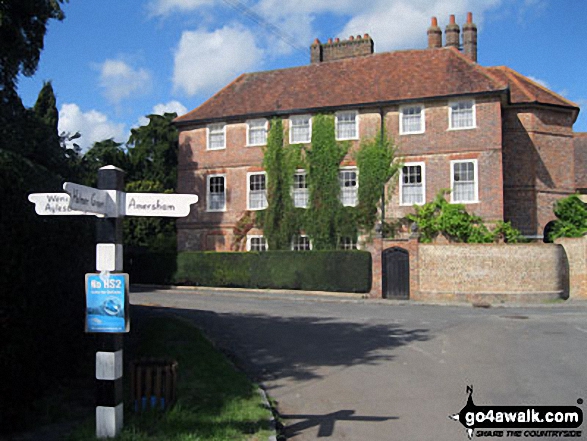
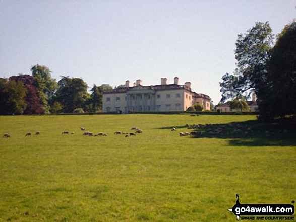
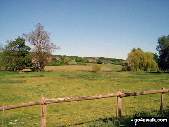
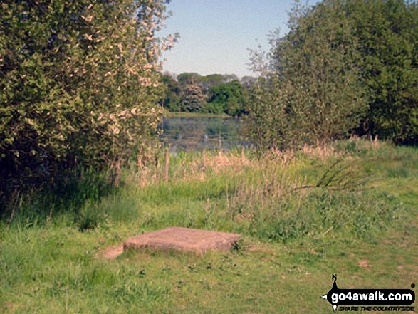
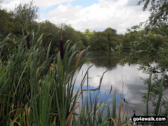
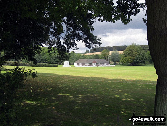
Some Photos and Pictures from Walk bu196 Mop End from Little Missenden
In no particular order . . .


Send us your photographs and pictures from your walks and hikes
We would love to see your photographs and pictures from walk bu196 Mop End from Little Missenden. Send them in to us as email attachments (configured for any computer) along with your name and where the picture was taken to:
and we shall do our best to publish them.
(Guide Resolution = 300dpi. At least = 660 pixels (wide) x 440 pixels (high).)

You can also submit photos from walk bu196 Mop End from Little Missenden via our Facebook Page.
NB. Please indicate where each photo was taken.


