   |
Vital Statistics:
| Length: | 7½mls (12km) |
| Ascent: | 262ft (80m) |
| Time: | 3hrs |
| Grade: |  |

Route outline for walk c221:
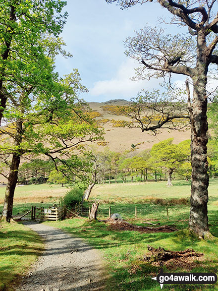
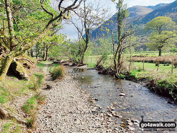
Buttermere - Great Wood - Wood House - Crummock Water - Hause Point - Rannerdale Bridge - Cinderdale Common - Lanthwaite Green - High Wood - Lanthwaite Wood - River Cocker - Park Beck - Iron Stone - Low Ling Crag - Scale Bridge - Buttermere
You can find this walk and other nearby walks on these unique free-to-access Interactive Walk Planning Maps:
1:25,000 scale OS Explorer Map (orange/yellow covers):
1:50,000 scale OS Landranger Map (pink/magenta covers):
Some Photos and Pictures from Walk c221 A Circuit of Crummock Water from Buttermere
In no particular order . . .

Honister Pass (left), Fleetwith Pike, Hay Stacks (Haystacks) and High Crag (Buttermere) across Buttermere

Autumn sunshine on Dale Head (left) and Fleetwith Pike (right) from Burtness Wood

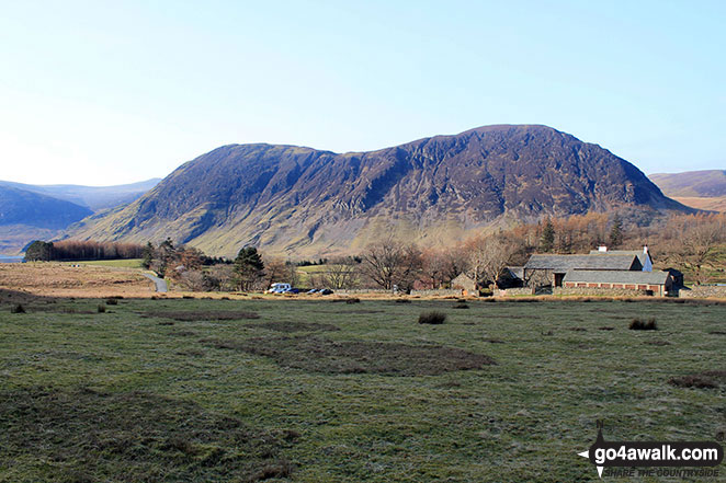
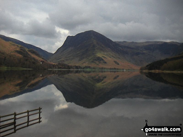
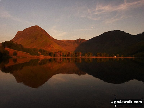
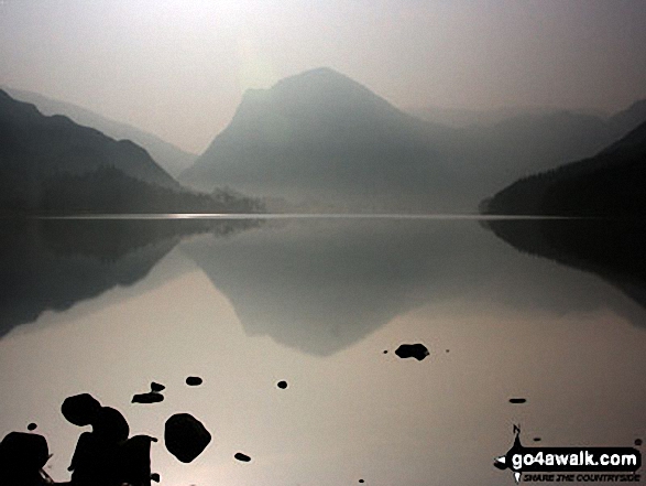
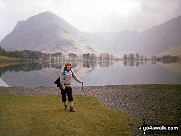
The shoulder of Grasmoor (left), Robinson, Rannerdale Knotts (centre) and the High Stile Ridge (High Crag, High Stile and Red Pike (Buttermere) reflected beautifully in a very still Crummock Water taken from the north west shore below Mellbreak


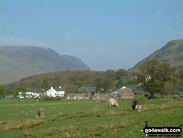


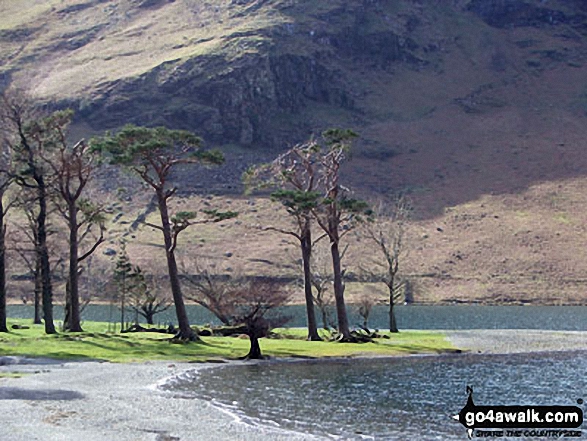
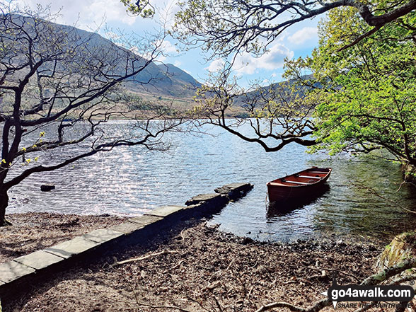
Looking across Buttermere Lake to a Cottage below Hay Stacks (Haystacks) from Hassness


Fleetwith Pike and Hay Stacks (Haystacks) from the campsite near Buttermere village


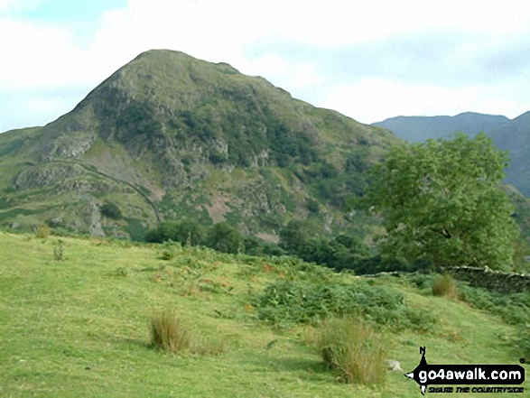
Crummock Water, Rannerdale Knotts (left) and The High Stile Ridge from nr Cinderdale Common
Crummock Water, Rannerdale Knotts (left) and The High Stile Ridge from Cinderdale Common

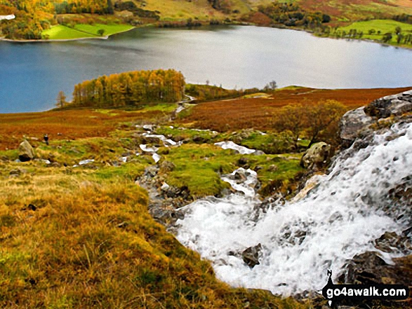
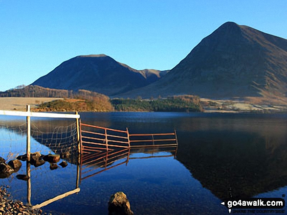
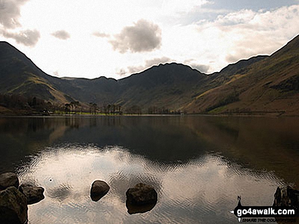
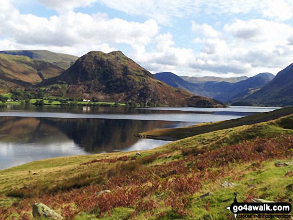
Crummock Water and Low Ling Crag - with Rannerdale Knotts (left), Fleetwith Pike (centre) and The High Stile Ridge (right)
Fleetwith Pike (left) and Hay Stacks (right) across Buttermere Lake from Hassness


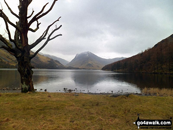
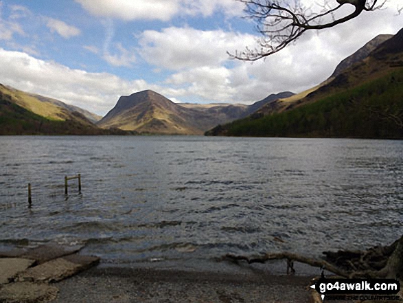
Buttermere, with Fleetwith Pike straight ahead and Hay Stacks (Haystacks) to the right

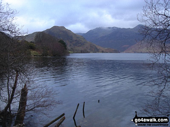
High Stile, Red Pike (Buttermere) and Dodd (Buttermere) from across Buttermere


Buttermere from the North West shore featuring Fleetwith Pike (just right of centre)

Autumn sunshine on Dale Head (left) and Fleetwith Pike (right) from Burtness Wood
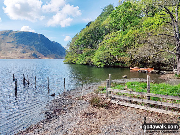

Fleetwith Pike and The High Stile massif from the North shore of Crummock Water
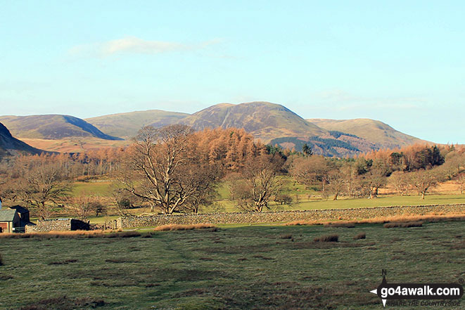
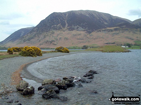
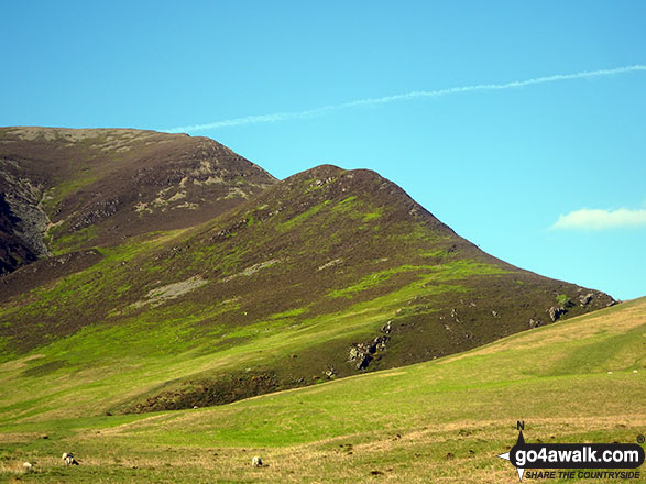
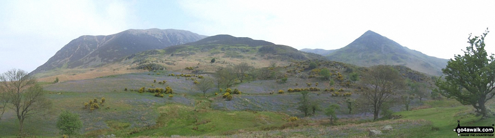
Gavel Fell (left), Blake Fell, Carling Knott and Burnbank Fell from Lanthwaite Green
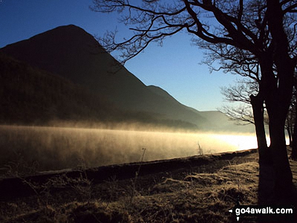
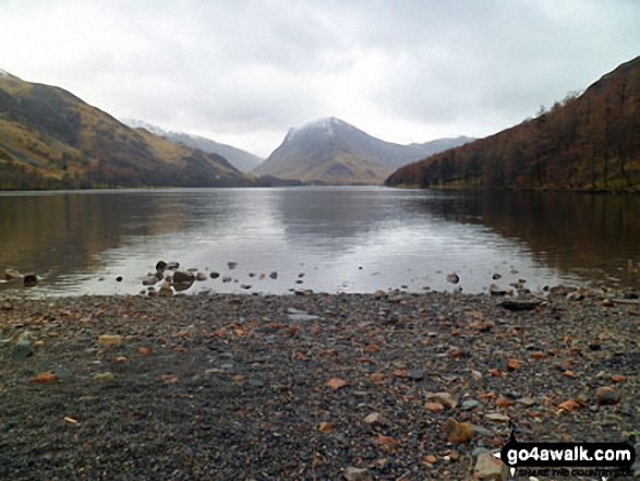
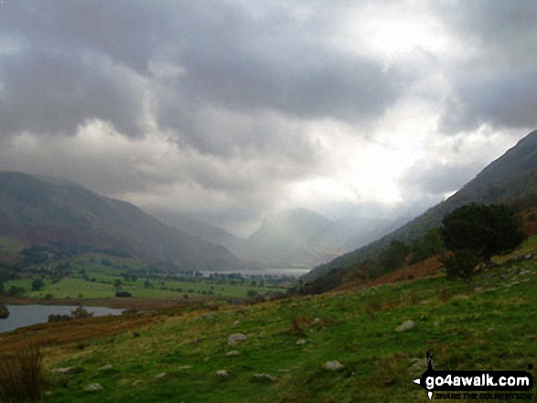
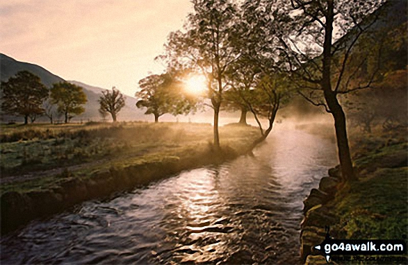
Early morning mist catches the low light on Crummock Water with the towering Grasmoor beyond
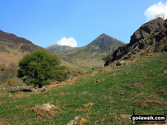
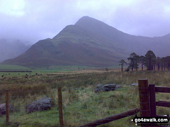
Wandope (left), Whiteless Pike and Rannerdale Knotts (right) from above Hause Point, Crummock Water

Fleetwith Pike (left), Hay Stacks (Haystacks) and the shoulder of High Crag (Buttermere) (right) across Buttermere

Early morning sun on Whiteside (Crummock) (left) and Whin Ben (right) from Lanthwaite Green
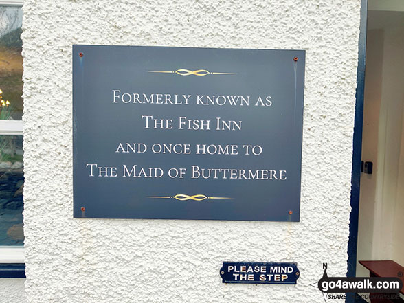
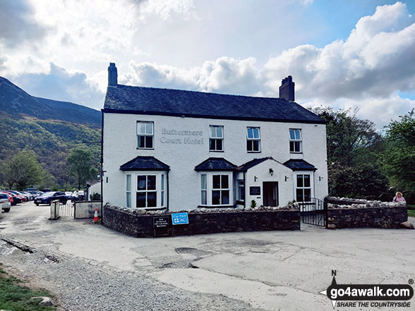
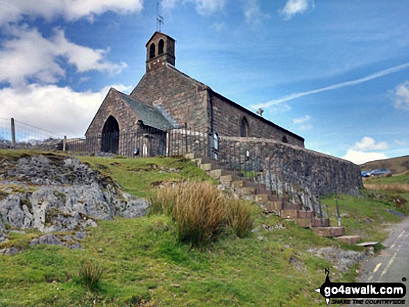
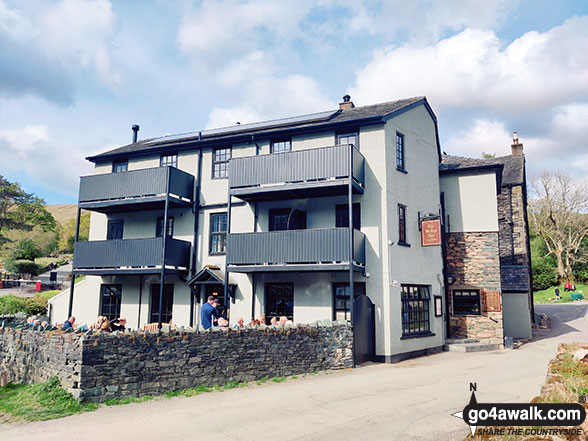
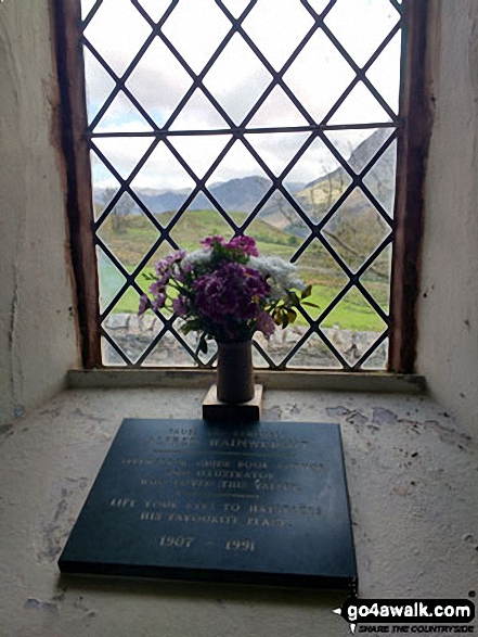
Plaque at the entrance to The Buttermere Court Hotel in Buttermere - formerly known as the Fish Inn
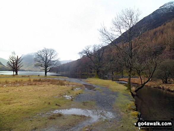


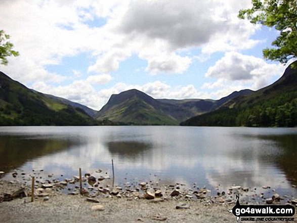
Buttermere Lake - with the lower slopes of High Stile (left), Hen Comb (centre) and Mellbreak (right)

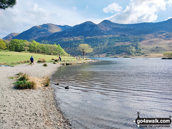


Crummock Water and Low Ling Crag - with Rannerdale Knotts (left), Fleetwith Pike (centre) and The High Stile Ridge (right)

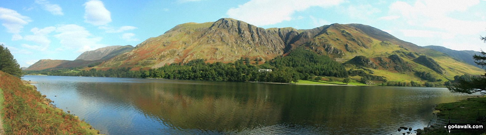
Crummock Water with Rannerdale Knotts (centre left), The High Stile Ridge (High Crag, High Stile and Red Pike (Buttermere) and the lower slopes of Mellbreak (far right) from Lanthwaite Wood
Send us your photographs and pictures from your walks and hikes
We would love to see your photographs and pictures from walk c221 A Circuit of Crummock Water from Buttermere. Send them in to us as email attachments (configured for any computer) along with your name and where the picture was taken to:
and we shall do our best to publish them.
(Guide Resolution = 300dpi. At least = 660 pixels (wide) x 440 pixels (high).)

You can also submit photos from walk c221 A Circuit of Crummock Water from Buttermere via our Facebook Page.
NB. Please indicate where each photo was taken.


