   |
Vital Statistics:
| Length: | 6¾mls (11km) |
| Ascent: | 1,243ft (379m) |
| Time: | 3¾hrs |
| Grade: |  |
Route outline for walk c444:
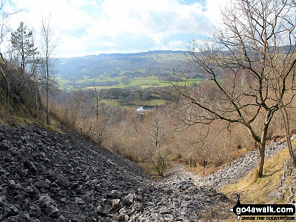
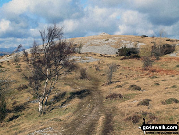
Mill Side - Buckhouse Wood - Farrar's Allotment - Pether Pots. Whitbarrow National Nature Reserve - Lord's Seat (Whitbarrow Scar) - Flodder Allotment - Bell Rake - High Park Wood - Black Yew Scars - Witherslack Hall School - Chapel Head Scar - High Crag Wood - Low Crag Wood - Beck Head - Mill Side
Peak Bagging Statistics for this walk:
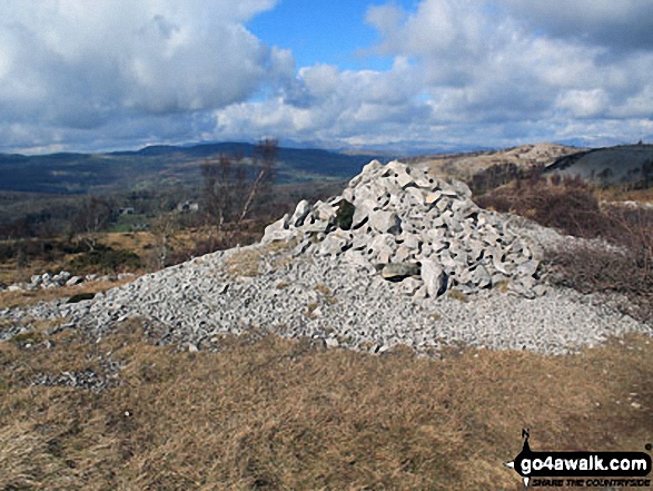
The highest point of this walk is Lord's Seat (Whitbarrow Scar) at 215m (706ft). Lord's Seat (Whitbarrow Scar) is also known as an Wainwright Outlying Fell (No. 107)Lord's Seat (Whitbarrow Scar) is classified as an English Marilyn (165th highest in England, 1506th highest in the UK).
You can find this walk and other nearby walks on these unique free-to-access Interactive Walk Planning Maps:
1:25,000 scale OS Explorer Map (orange/yellow covers):
1:50,000 scale OS Landranger Map (pink/magenta covers):
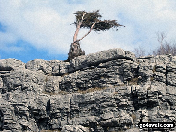
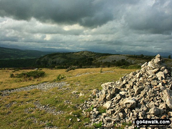
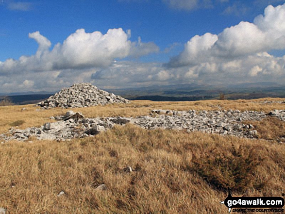
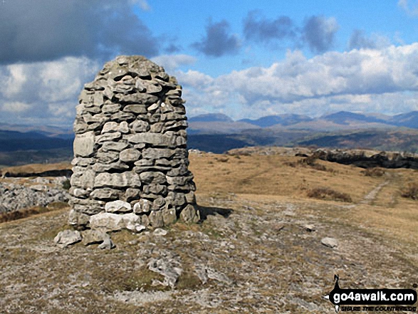
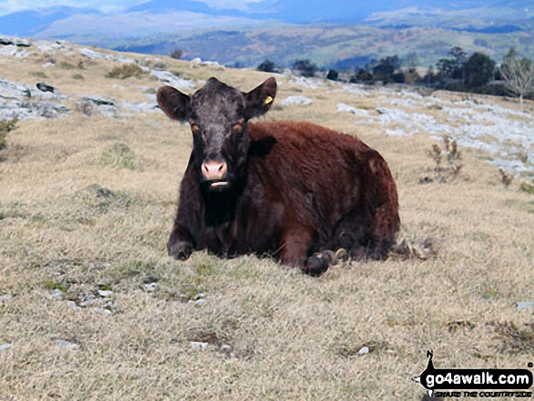
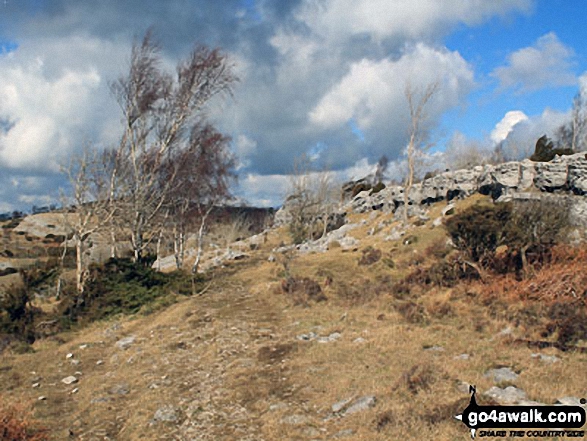
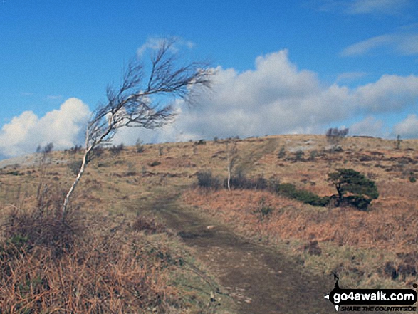
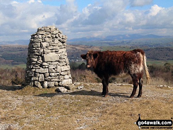
Some Photos and Pictures from Walk c444 Lord's Seat (Whitbarrow Scar) from Mill Side
In no particular order . . .


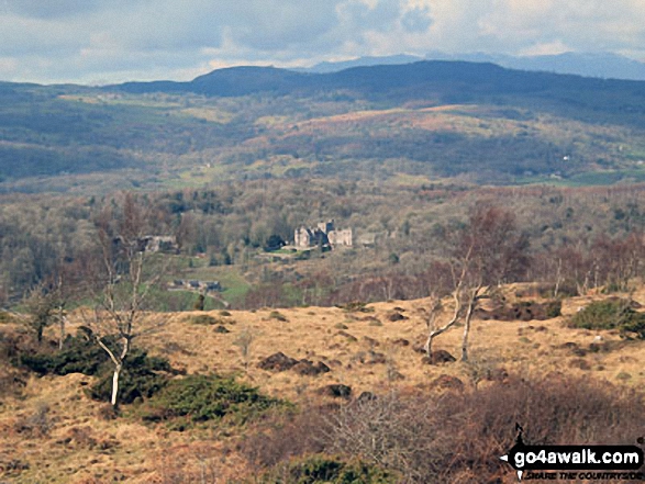
Witherslack Hall School, Whitbarrow Scar and Lord's Seat (Whitbarrow Scar) (in distance, far right)
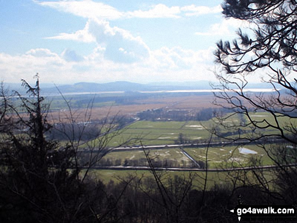
Looking South across Foulshaw Moss to Milnthorpe Sands, Arnside Knott and The forest of Bowland from Mill Side

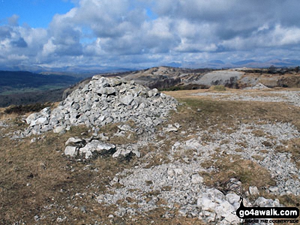

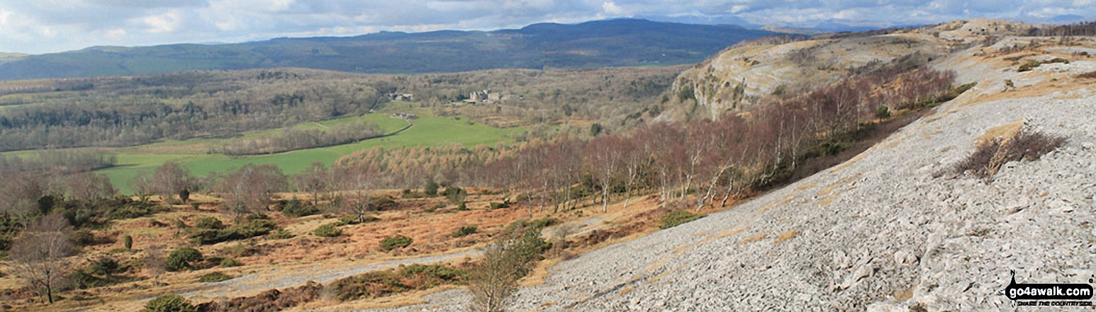
Arnside Knott, Humphrey Head, Dixon Heights (Newton Fell) and Saskills (Newton Fell) from the Whitbarrow Scar ridge
. . . load all 40 walk photos from Walk c444 Lord's Seat (Whitbarrow Scar) from Mill Side
Send us your photographs and pictures from your walks and hikes
We would love to see your photographs and pictures from walk c444 Lord's Seat (Whitbarrow Scar) from Mill Side. Send them in to us as email attachments (configured for any computer) along with your name and where the picture was taken to:
and we shall do our best to publish them.
(Guide Resolution = 300dpi. At least = 660 pixels (wide) x 440 pixels (high).)

You can also submit photos from walk c444 Lord's Seat (Whitbarrow Scar) from Mill Side via our Facebook Page.
NB. Please indicate where each photo was taken.


