Walk c373 Stainton Pike, Whitfell and Buck Barrow from Broad Oak

This 10¼ mile, Grade 6 (Moderate), easy-to-follow, hand-crafted walk, complete with GPS Waypoints, starts at Broad Oak & will take you about 6 hrs to complete.

Download Walk PDF Icon
Download GPX Track Icon
Download GPS Waypoints Icon

Vital Statistics:

Length:10¼mls (16.5km)
Ascent:2,198ft (670m)
Time:6hrs
Grade:Walk Grade 6_23_with_text.png Icon

Route outline for walk c373:

Broad Oak  -  Whitrow Beck  -  Waberthwaite Fell  -  Rowantree Falls  -  Stainton Pike  -  Whitfell (Whit Fell)  -  Burn Moor  -  Buck Barrow  -  Kinmont Buck Barrow  -  Whitrow Beck  -  Broad Oak


Google Maps Icon

Walk c373 is on these Interactive Walk Planning Maps (worth a look if you've never seen one of these superb, free-to-access, walk planning maps)


Peaks, Summits and Tops reached on this walk:

Hewitt Icon
0
English
Mountains
Wainwright Icon
0
Wainwrights
English Nuttall Icon
0
English
Nuttalls
Dewey Icon
2
English
Deweys
Wainwright Outlying Fell Icon
5
Wainwright
Outlying Fells
Marilyn Icon
1
Marilyn
Bridget Icon
0
Bridgets

Peak Bagging Statistics for this walk:

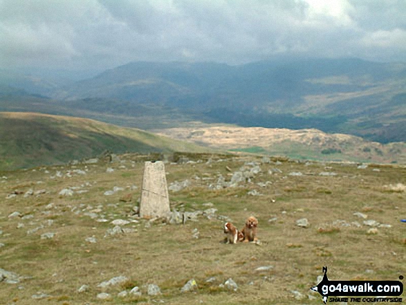
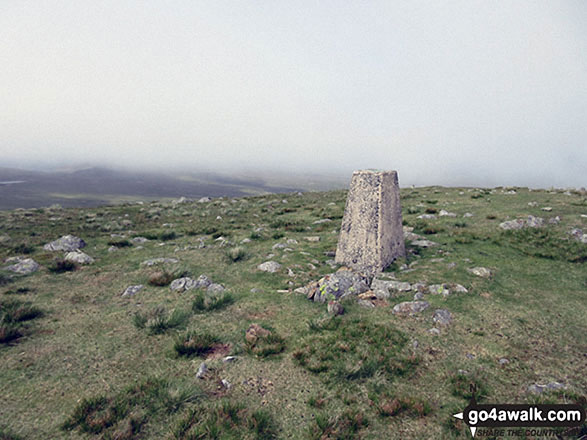
The highest point of this walk is Whitfell (Whit Fell) at 573m (1880ft). Whitfell (Whit Fell) is also known as an English Dewey (39th highest in England, 85th in England & Wales), a Wainwright Outlying Fell (No. 5) and an English Marilyn (57th highest in England, 811th highest in the UK). The summit of Whitfell (Whit Fell) is marked by an Ordnance Survey Trig Point.

Completing this walk will also take you to the top of Buck Barrow at 545m (1788ft). Buck Barrow is also known as an English Dewey (82nd highest in England, 191st in England & Wales) and a Wainwright Outlying Fell (No. 9)

You will also reach the summit of Burn Moor at 543m (1782ft). Burn Moor is also known as an Wainwright Outlying Fell (No. 10)

Along the way you will also bag and tick-off:

Top


You can find this walk and other nearby walks on these unique Interactive Walk Planning Maps:

(worth a look if you're new to go4awalk.com & have never seen one of these before.)

The Lake District National Park


1:25,000 scale OS Explorer Map (orange/yellow covers):

OS Explorer OL6 The English Lakes - South Western area


1:50,000 scale OS Landranger Map (pink/magenta covers):

OS Landranger 96 Barrow-in-Furness & South Lakeland


Top


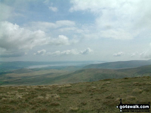
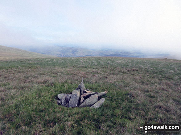
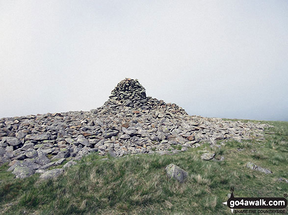
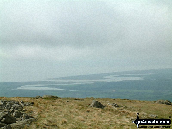
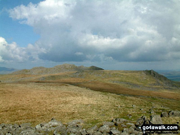
Some Photos and Pictures from Walk c373 Stainton Pike, Whitfell and Buck Barrow from Broad Oak

In no particular order . . .
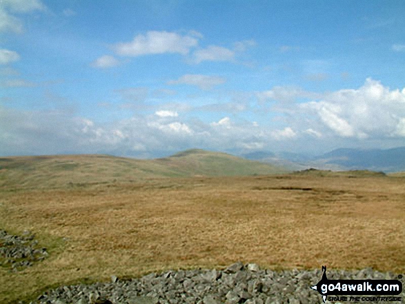
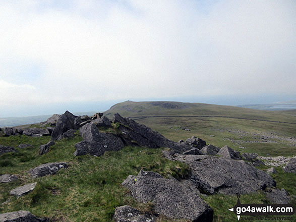
Kinmont Buck Barrow summit cairn

Kinmont Buck Barrow summit cairn

Photo: Christine Shepherd (603)

The Duddon Valley from Whitfell (Whit Fell)

The Duddon Valley from Whitfell (Whit Fell)

Photo: Stephen Dawson (27)

Whitfell (Whit Fell) summit trig point

Whitfell (Whit Fell) summit trig point

Photo: Christine Shepherd (608)

Whitfell (Whit Fell) summit appears out of the mist

Whitfell (Whit Fell) summit appears out of the mist

Photo: Christine Shepherd (610)

The view from the path up Buck Barrow

The view from the path up Buck Barrow

Photo: Christine Shepherd (600)

Burn Moor summit cairn

Burn Moor summit cairn

Photo: Christine Shepherd (598)

Stainton Pike beyond Rowantree Force from Waberthwaite Fell

Stainton Pike beyond Rowantree Force from Waberthwaite Fell

Photo: Andy Malcolm (198)

The Esk Estuary from Whitfell (Whit Fell)

The Esk Estuary from Whitfell (Whit Fell)

Photo: Stephen Dawson (26)

Buck Barrow summit cairn

Buck Barrow summit cairn

Photo: Christine Shepherd (601)

Whitfell (Whit Fell) summit cairn and shelter

Whitfell (Whit Fell) summit cairn and shelter

Photo: Christine Shepherd (609)


. . . load all 14 walk photos from Walk c373 Stainton Pike, Whitfell and Buck Barrow from Broad Oak

Top


Send us your photographs and pictures from your walks and hikes

Send them in to us as email attachments (configured for any computer) along with your name/username and where the picture was taken to:

and we shall do our best to publish them.

(Guide Resolution = 300dpi. At least = 660 pixels (wide) x 440 pixels (high).)

Facebook Logo

You can also submit photos via our Facebook Page.

NB. Please indicate where each photo was taken so we can match it to a walk route.


Subscribe and Log On to hide external ads


One impulse from vernal wood, may teach you more than man, of moral evil and of good, than all the sages can - William Wordsworth: 1770-1850
Follow go4awalk.com on Twitter Follow go4awalk.com on Facebook


Find new Friends to go walking with

Walk all 214 Wainwrights in just 59 Walks. Download GPS Waypoints - Great Walks you must not miss!

Walk The Yorkshire Three Peaks Challenge Walk - All the Latest Route Information, GPS Waypoints and Split Times to keep you on Schedule

Walk The British Three Peaks Challenge Walk - All the Latest Route Information and GPS Waypoints

See our pick of The Best Walks in The Lake District - Great Walks you must not miss!

Walk our pick of the Best Lake District Ridge Walks - Great Walks you must not miss!

Walk our pick of the Best Lake District Walks to do in the rain - Great Walks you must not miss!

Walk our pick of The Best Walks in Snowdonia - Great Walks you must not miss!

Walk our pick of The Best Ridge Walks in Wales - Walks you must not miss!

Walk our pick of The Best Walks in The Brecon Beacons - Great Walks you must not miss!

Walk our pick of The Best Walks in The Yorkshire Dales - Walks you must not miss!

Walk our pick of The Best Walks in The Peak District - Walks you must not miss!

Walk our pick of The Best Walks in The Forest of Bowland - Walks you must not miss!

Walk our pick of The Best Walks in Shropshire - Walks you must not miss!

Walk our pick of The Best Walks in Cheshire - Walks you must not miss!

Walk our pick of The Best Walks in Lancashire - Walks you must not miss!

Not sure where to walk next? Try Peak Bagging - Great Walks you must not miss!

Not sure where to walk next? Walk part of a National Trail - Great Walks you must not miss!

Walks with Downloadable and Uploadable GPS Waypoint Data

Walking Kit and Gear Tested by Walkers

Full Site Search