UK Postcode LA2 - The 30 nearest easy-to-follow, circular walk route maps to you
The thirty nearest easy-to-follow, circular walk route maps to you in UK Postcode LA2 in Walk Grade Order
The UK cities, towns and villages in Lancashire, England that have LA2 in their UK Postcode include:
• Abbeystead • Aughton • Austwick • Bottom Head • Braides • Brookhouse • Caton • Clapham • Claughton • Cockerham • Conder Green • Crossgill • Dolphinholme • Eldroth • Feizor • Galgate • Glasson • Gressingham • Halton • Hest Bank • High Bentham • Higher Thrushgill • Hornby • Keasden • Lawkland • Lee • Low Bentham • Lower Green Bank • Lower Thurnham • Lowgill • Marshaw • Middle Salter • Mill Houses • Moor Cock • Newby • Quernmore • Slyne • Stodday • Tarnbrook • Tatham • Upper Thurnham • Wennington • Wharfe • Wray •
Not familiar with the area around LA2?
See these 30 nearest walks to UK Postcode LA2 on a google map

   |
Vital Statistics:
| Length: | 3.25 miles (5 km) |
| Ascent: | 131ft (40m) |
| Time: | 1.25hrs |
| Grade: |  |

Route Summary:
Crook o' Lune - Caton - The River Lune - Crook o' Lune Wood - Artle Beck - Waterworks Bridge - Applehouse Wood - Highfield Beck - Crook o' Lune


|
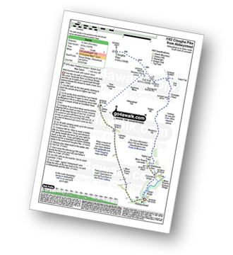
Vital Statistics:
| Length: | 9.75 miles (15.5 km) |
| Ascent: | 1,487ft (453m) |
| Time: | 5 hrs |
| Grade: |  |
Route Summary:
Abbeystead - Stoops Bridge - Tarnbrook Wyre - LCrizedale Bridge - Rakehouse Barn - Higher Lee Farm - Margery's Hill - Rotten Hill - Grizedale Head - Lee Fell - Burrow Fell - Grit Fell - Clougha Pike - Shooters Pile - Appletree Moss - Hare Appletree Fell - Jubilee Tower - Lainsley Slack - Abbeystead

|
Vital Statistics:
| Length: | 12.25 miles (19.5 km) |
| Ascent: | 1,960ft (515m) |
| Time: | 6.25hrs |
| Grade: |  |

Route Summary:
Abbeystead - Stoops Bridge - Tarnbrook Wyre - Lee - Tarnbrook - Higher Syke - Black Side of Tarnbrook Fell - Gables Clough - Tarnbrook Fell - Brown Syke - Mallowdale Pike (Mallowdale Fell) - Ward's Stone (Mallowdale Fell) - Ward's Stone Breast - Cabin Flat - Lee Fell - Grizedale Head - Rotten Hill - Margery's Hill - Higher Lee Farm - Rakehouse Barn - Grizedale Bridge - Abbeystead

|
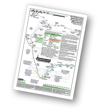
Vital Statistics:
| Length: | 17.5 miles (28 km) |
| Ascent: | 2,186ft (666m) |
| Time: | 8½ hrs |
| Grade: |  |
Route Summary:
Abbeystead - Stoops Bridge - Tarnbrook Wyre - Lee - Tarnbrook - Higher Syke - Black Side of Tarnbrook Fell - Gables Clough - Tarnbrook Fell - Brown Syke - Wolfhole Crag - Mallowdale Pike (Mallowdale Fell) - Ward's Stone (Mallowdale Fell) - Ward's Stone Breast - Cabin Flat - Lee Fell - Burrow Fell - Grit Fell - Clougha Pike - Shooters Pile - Appletree Moss - Hare Appletree Fell - Jubilee Tower - Lainsley Slack - Abbeystead

|
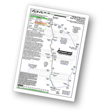
Vital Statistics:
| Length: | 9 miles (14.5 km) |
| Ascent: | 1,132ft (345m) |
| Time: | 4½ hrs |
| Grade: | |
Route Summary:
The Great Stone of Forstone - Moor Cock Farm - Tatham Fells - Bank End Gate - Lyth Fell - Starkers Moor - Whitray Fell - Cross of Greet - Great Harlow - Raven's Castle - Crowd Stones - Thistley Hill - Thistle Hill - Tanstree Cragg - Burn Moor Fell - Hart Pot Gill - Stony Bank - Red Mire Queen of The Fairies Chair - Loftshaw Moss - The Great Stone of Forstone

|
Vital Statistics:
| Length: | 5.75 miles (9 km) |
| Ascent: | 1,113ft (339m) |
| Time: | 3.25hrs |
| Grade: |  |

Route Summary:
Cross of Greet Bridge - Near Crosty Clough - Shooters' Huts - Far Costy Clough - White Hill (Forest of Bowland) - Botton Head Hill - Whitray Fell - Cross of Greet - Cross of Greet Bridge

|
Vital Statistics:
| Length: | 8.75 miles (14 km) |
| Ascent: | 1,615ft (492m) |
| Time: | 5 hrs |
| Grade: | |
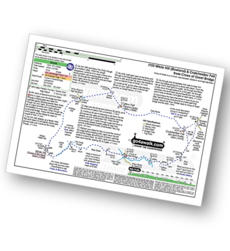
Route Summary:
Cross of Greet Bridge - Near Crosty Clough - Shooters' Huts - Far Costy Clough - White Hill (Forest of Bowland) - Botton Head Hill - Whitray Fell - Cross of Greet - Great Harlow - Raven's Castle - Crowd Stones - Catlow Fell (Ravens Castle) - Hailshowers Fell - Cold Stone - Copy Nook - Knottend Well - Crutchenber Fell (Bowland Knotts) - Pike Side - Catlow Farm - Kearsdon Holes - The River Hodder - Cross of Greet Bridge

|
Vital Statistics:
| Length: | 7 miles (11 km) |
| Ascent: | 1,224ft (373m) |
| Time: | 3.75hrs |
| Grade: | |
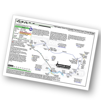
Route Summary:
Cross of Greet Bridge - The River Hodder - Cross of Greet - Great Harlow - Raven's Castle - Crowd Stones - Catlow Fell (Ravens Castle) - Hailshowers Fell - Cold Stone - Copy Nook - Knottend Well - Crutchenber Fell (Bowland Knotts) - Pike Side - Catlow Farm - Kearsdon Holes - The River Hodder - Cross of Greet Bridge

|
Vital Statistics:
| Length: | 16.5 miles (26 km) |
| Ascent: | 2,447ft (746m) |
| Time: | 8½ hrs |
| Grade: | |

Route Summary:
Ingleton - Thornton Hall Farm - Tow Scar - Gragareth - Green Hill (Gragareth) - Lancashire County Stone - High Pike - Kingsdale Beck - Braida Garth Farm - Twistleton Hall Farm - The Ingleton Waterfalls Trail - Beezley Falls - River Doe - Snow Falls - Ingleton

|
Vital Statistics:
| Length: | 5 miles (8 km) |
| Ascent: | 961ft (293m) |
| Time: | 3 hrs |
| Grade: |  |

Route Summary:
Ingleton - Thornton Hall Farm - Kingsdale - River Dow - The Ingleton Waterfalls Trail Beezley Falls - Rival Falls - Snow Falls - Ingleton

|
Vital Statistics:
| Length: | 4.75 miles (7.5 km) |
| Ascent: | 984ft (300m) |
| Time: | 3 hrs |
| Grade: | |
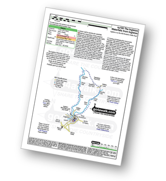
Route Summary:
Ingleton - The Ingleton Waterfalls Trail - River Twiss - Swilla Glen - The Money Tree - Helks - Mount - Manor Bridge - Constitution Hill - Pecca Bridge - Pecca Falls - Thornton Force - Raven Ray Bridge - Kingsdale - Twistleton Hall - River Doe - Beezley Falls - Rival Falls - Snow Falls - Ingleton

|
Vital Statistics:
| Length: | 9.5 miles (15 km) |
| Ascent: | 2,250ft (686m) |
| Time: | 5½ hrs |
| Grade: | |
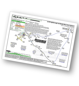
Route Summary:
Ingleton - Ingleton Information Centre - Richmond House - Fell Lane - Crina Bottom Farm - Quaking Pot - Ingleborough - Little Ingleborough - Newby Moss - Newby Cote - Bleak Bank - Duck Dub - Holly Platt - Slatenber - Jenkin Bridge - Ingleton

|
Vital Statistics:
| Length: | 9.5 miles (15 km) |
| Ascent: | 2,362ft (720m) |
| Time: | 5.75hrs |
| Grade: | |

Route Summary:
Ingleton - Ingleton Tourist Information Centre - Fell Lane - Crina Bottom Farm - Quaking Pot - Ingleborough - Humphrey Bottom - Ingleborough Nature Reserve - Raven Scar - High Howeth - Harry Hallam's Moss - White Scars - Ingleton

|
Vital Statistics:
| Length: | 10 miles (16 km) |
| Ascent: | 2,244ft (684m) |
| Time: | 5.75hrs |
| Grade: | |

Route Summary:
Ingleton - Fell Lane - Crina Bottom Farm - Quaking Pot - Ingleborough - Humphrey Bottom - Ingleborough Nature Reserve - Braithwaite Wife Hole - Souther Scales Farm - Chapel-le-Dale - Twistleton Scars - Oddies Lane - The Ingleton Waterfalls Trail - Beezley Falls - Snow Falls - Ingleton

|
Vital Statistics:
| Length: | 8 miles (12.5 km) |
| Ascent: | 1,280ft (390m) |
| Time: | 4.25hrs |
| Grade: | |
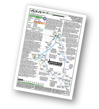
Route Summary:
Slaidburn - King Syke - Broadhead Farm - Easington Brook - Skelshaw Brook - Skelshaw Farm - Fell Side Farm - Harrop Fell - Easington Fell - Old Ned - Old Ned's Wife - Sadler Hill - Smelfthwaite Farm - Meanley Farm - Fowler's Laithe - Newton - River Hodder - Dunnow Hall - Dunnow Lodge - Slaidburn
Not familiar with the area around LA2?
See these 30 nearest walks to UK Postcode LA2 on a google map

|
Vital Statistics:
| Length: | 10.5 miles (16.5 km) |
| Ascent: | 1,697ft (499m) |
| Time: | 5½ hrs |
| Grade: | |
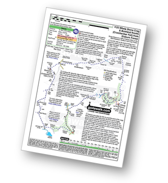
Route Summary:
Gisburn Forest - Halsteads Farm - Fair Hill - Herd Hill - Whelp Stone Crag - Brown Hill - Gisburn Common - Resting Stone - Ash Clough Swamp - Lawkland Fell - Rock Cat Knoll - Halstead Fell - Knotteranum - Crutchenber Fell (Bowland Knotts) - Pike Side - New House - Hasgill Beck - Stocks Reservoir - Gisburn Forest

|
Vital Statistics:
| Length: | 10 miles (16 km) |
| Ascent: | 1,597ft (487m) |
| Time: | 5.25hrs |
| Grade: | |
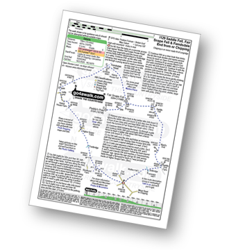
Route Summary:
Fell Foot (nr Chipping) - Wolfen Hall - Saddle End Farm - Ward's End - Saddle Fell - Paddy's Pole (Fair Snape Fell) - Fair Snape Fell - Holme House Fell - Fiendsdale Head - Holme House Farm - Higher Snape Farm - Fell Foot (nr Chipping)

|
Vital Statistics:
| Length: | 7.75 miles (12.5 km) |
| Ascent: | 1,538ft (469m) |
| Time: | 4½ hrs |
| Grade: | |
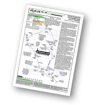
Route Summary:
Fell Foot (nr Chipping) - Parlick - Blindhurst Fell - Wolf Fell - Paddy's Pole (Fair Snape Fell) - Fair Snape Fell - Holme House Fell - Fiendsdale Head - Holme House Farm - Higher Snape Farm - Fell Foot (nr Chipping)

|
Vital Statistics:
| Length: | 6 miles (9.5 km) |
| Ascent: | 1,279ft (390m) |
| Time: | 3½ hrs |
| Grade: | |

Route Summary:
Fell Foot (nr Chipping) - Parlick - Blindhurst Fell - Wolf Fell - Paddy's Pole (Fair Snape Fell) - Fair Snape Fell - Saddle Fell - Ward's End - Saddle End Farm - Wolfen Hall - Fell Foot (nr Chipping)

|
Vital Statistics:
| Length: | 3.75 miles (6 km) |
| Ascent: | 627ft (191m) |
| Time: | 2 hrs |
| Grade: |  |
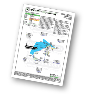
Route Summary:
Arnside (Morecambe Bay) - Red Hills Wood - Arnside Knott - Copridding Wood - Grubbins Wood - Morecambe Bay - The Cumbria Coastal Way - Arnside (Morecambe Bay)

|
Vital Statistics:
| Length: | 8.25 miles (13 km) |
| Ascent: | 951ft (290m) |
| Time: | 3.75hrs |
| Grade: | |

Route Summary:
Clapham - Ingleborough Hall - Thwaite Lane - Summit Clump - Robin Proctor's Scar - Norber Brow - Nappa Scars - Crummack Lane - Crummack Farm - Crummack Dale - Begger's Stile - Thieves Moss - Sulber Gate - Long Scar - Long Lane (Track). Thwaite Scars - Clapham

|
Vital Statistics:
| Length: | 4 miles (6.5 km) |
| Ascent: | 558ft (170m) |
| Time: | 2 hrs |
| Grade: | |

Route Summary:
Clapham - Limekiln Plantation - Clapdale Farm - Ingleborough Cave - Trow Gill - Long Lane (Track) - Thwaite Scars - Thwaite Lane (Track) - Clapham

|
Vital Statistics:
| Length: | 8.5 miles (13.5 km) |
| Ascent: | 2,178ft (664m) |
| Time: | 5 hrs |
| Grade: | |

Route Summary:
Clapham - Limekiln Plantation - Clapdale Farm - Ingleborough Cave - Trow Gill - Hernal Moss - Gaping Gill - Seat Haw - Little Ingleborough - Ingleborough - Little Ingleborough - Newby Moss - Cote Haw - Newby Cote - Clapham

|
Vital Statistics:
| Length: | 8.5 miles (13.5 km) |
| Ascent: | 1,653ft (504m) |
| Time: | 4.75hrs |
| Grade: | |

Route Summary:
Leck Fell House - The Three Men of Gragareth - Gragareth - Green Hill (Gragareth) - Lancashire County Stone - Great Coum - Crag Hill - Casterton Fell - Ease Gill - Leck Fell House

|
Vital Statistics:
| Length: | 12.25 miles (19.5 km) |
| Ascent: | 1,568ft (478m) |
| Time: | 6 hrs |
| Grade: | |
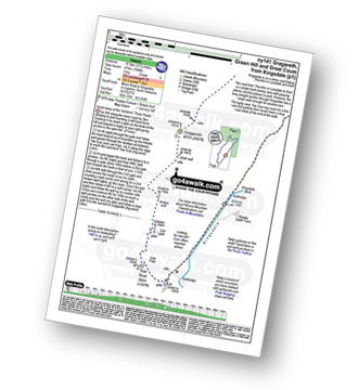
Route Summary:
Kingsdale - Tow Scar - Gragareth - Green Hill (Gragareth) - Lancashire County Stone - High Pike - Kingsdale Beck - Kingsdale

|
Vital Statistics:
| Length: | 13.5 miles (21.5 km) |
| Ascent: | 2,317ft (706m) |
| Time: | 7.25hrs |
| Grade: | |

Route Summary:
Hodge Bridge - Barbon - Thorn Moor - Eskholme Pike - Castle Knott - Calf Top - Barkin Top - Longbank Peat Moss - Long Bank - Fellside Farm - River Lune - Low Waterside Farm - Middleton Hall Bridge - Stockdale Beck - Applegarth - Borwens - Eller Beck - Barbon - Hodge Bridge

|
Vital Statistics:
| Length: | 6.5 miles (10.5 km) |
| Ascent: | 1,076ft (328m) |
| Time: | 3.75hrs |
| Grade: | |
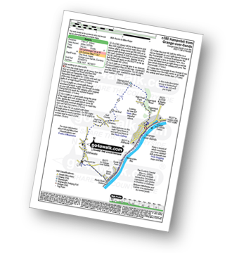
Route Summary:
Grange-over-Sands - Eggerslack Wood - Hampsfell - Fell End - High Fell Gate Farm - Allithwaite - The Cumbria Coastal Way - Kents Bank - Morecambe Bay - Grange-over-Sands

|
Vital Statistics:
| Length: | 10.25 miles (16.5 km) |
| Ascent: | 1,375ft (419m) |
| Time: | 5.25hrs |
| Grade: | |
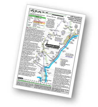
Route Summary:
Grange-over-Sands - Eggerslack Wood - Hampsfell - Fell End - High Fell Gate Farm - Allithwaite - Wraysholme Tower - The Cumbria Coastal Way - Humphrey Head - Humphrey Head Wood - Wyke Farm - Kirkhead End - Allithwaite - Kents Bank - Morecambe Bay - Grange-over-Sands

|
Vital Statistics:
| Length: | 3.75 miles (6 km) |
| Ascent: | 309ft (94m) |
| Time: | 1.75hrs |
| Grade: | |
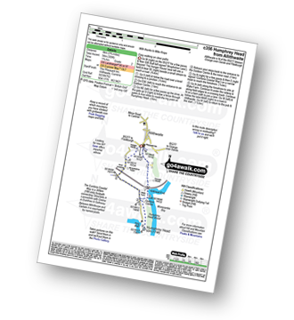
Route Summary:
Allithwaite - Wraysholme Tower - The Cumbria Coastal Way - Humphrey Head - Humphrey Head Wood - Wyke Farm - Kirkhead End - Allithwaite

|
Vital Statistics:
| Length: | 11.5 miles (18.5 km) |
| Ascent: | 2,227ft (679m) |
| Time: | 6½ hrs |
| Grade: | |

Route Summary:
Ribblehead - (The Old Hill Inn) - Ingleborough Nature Reserve - Humphrey Bottom - Ingleborough - Simon Fell - Park Fell (Ribblehead) - New Close Farm - Ribblehead - Gunnerfleet Farm - Ivescar Farm - Broadrake Farm - Ellerbeck Farm - Jingle Pot - Chaple-le-Dale - The Old Hill Inn - Ribblehead
Not familiar with the area around LA2?
See these 30 nearest walks to UK Postcode LA2 on a google map