UK Postcode FY6 - The 30 nearest easy-to-follow, circular walk route maps to you
The thirty nearest easy-to-follow, circular walk route maps to you in UK Postcode FY6 in Walk Grade Order
The UK cities, towns and villages in Lancashire, England that have FY6 in their UK Postcode include:
• Carleton • Hambleton • Hambleton Moss Side • Knott End-on-Sea • Pilling Lane • Poulton-le-Fylde • Preesall • Singleton • Stalmine • Staynall •
Not familiar with the area around FY6?
See these 30 nearest walks to UK Postcode FY6 on a google map

   |
Vital Statistics:
| Length: | 17.5 miles (28 km) |
| Ascent: | 2,186ft (666m) |
| Time: | 8½ hrs |
| Grade: |  |
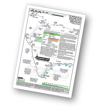
Route Summary:
Abbeystead - Stoops Bridge - Tarnbrook Wyre - Lee - Tarnbrook - Higher Syke - Black Side of Tarnbrook Fell - Gables Clough - Tarnbrook Fell - Brown Syke - Wolfhole Crag - Mallowdale Pike (Mallowdale Fell) - Ward's Stone (Mallowdale Fell) - Ward's Stone Breast - Cabin Flat - Lee Fell - Burrow Fell - Grit Fell - Clougha Pike - Shooters Pile - Appletree Moss - Hare Appletree Fell - Jubilee Tower - Lainsley Slack - Abbeystead


|
Vital Statistics:
| Length: | 10 miles (16 km) |
| Ascent: | 1,597ft (487m) |
| Time: | 5.25hrs |
| Grade: |  |
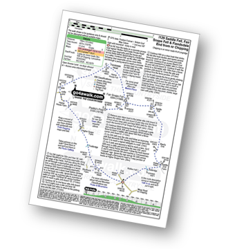
Route Summary:
Fell Foot (nr Chipping) - Wolfen Hall - Saddle End Farm - Ward's End - Saddle Fell - Paddy's Pole (Fair Snape Fell) - Fair Snape Fell - Holme House Fell - Fiendsdale Head - Holme House Farm - Higher Snape Farm - Fell Foot (nr Chipping)

|
Vital Statistics:
| Length: | 12.25 miles (19.5 km) |
| Ascent: | 1,960ft (515m) |
| Time: | 6.25hrs |
| Grade: | |

Route Summary:
Abbeystead - Stoops Bridge - Tarnbrook Wyre - Lee - Tarnbrook - Higher Syke - Black Side of Tarnbrook Fell - Gables Clough - Tarnbrook Fell - Brown Syke - Mallowdale Pike (Mallowdale Fell) - Ward's Stone (Mallowdale Fell) - Ward's Stone Breast - Cabin Flat - Lee Fell - Grizedale Head - Rotten Hill - Margery's Hill - Higher Lee Farm - Rakehouse Barn - Grizedale Bridge - Abbeystead

|
Vital Statistics:
| Length: | 7.75 miles (12.5 km) |
| Ascent: | 1,538ft (469m) |
| Time: | 4½ hrs |
| Grade: |  |
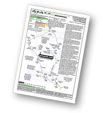
Route Summary:
Fell Foot (nr Chipping) - Parlick - Blindhurst Fell - Wolf Fell - Paddy's Pole (Fair Snape Fell) - Fair Snape Fell - Holme House Fell - Fiendsdale Head - Holme House Farm - Higher Snape Farm - Fell Foot (nr Chipping)

|
Vital Statistics:
| Length: | 9.75 miles (15.5 km) |
| Ascent: | 1,487ft (453m) |
| Time: | 5 hrs |
| Grade: | |
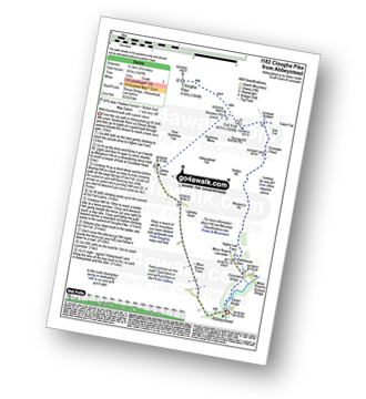
Route Summary:
Abbeystead - Stoops Bridge - Tarnbrook Wyre - LCrizedale Bridge - Rakehouse Barn - Higher Lee Farm - Margery's Hill - Rotten Hill - Grizedale Head - Lee Fell - Burrow Fell - Grit Fell - Clougha Pike - Shooters Pile - Appletree Moss - Hare Appletree Fell - Jubilee Tower - Lainsley Slack - Abbeystead

|
Vital Statistics:
| Length: | 6 miles (9.5 km) |
| Ascent: | 1,279ft (390m) |
| Time: | 3½ hrs |
| Grade: |  |

Route Summary:
Fell Foot (nr Chipping) - Parlick - Blindhurst Fell - Wolf Fell - Paddy's Pole (Fair Snape Fell) - Fair Snape Fell - Saddle Fell - Ward's End - Saddle End Farm - Wolfen Hall - Fell Foot (nr Chipping)

|
Vital Statistics:
| Length: | 6 miles (9.5 km) |
| Ascent: | 859ft (262m) |
| Time: | 3 hrs |
| Grade: |  |
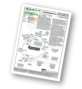
Route Summary:
Jeffrey Hill - Thornley Hall - Gibbon Bridge - River Loud - River Hodder - Weedacre Farm - Longridge Fell (Spire Hill) - Jeffrey Hill

|
Vital Statistics:
| Length: | 6.25 miles (10 km) |
| Ascent: | 128ft (39m) |
| Time: | 2½ hrs |
| Grade: |  |
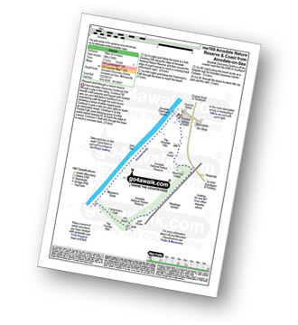
Route Summary:
Ainsdale-on-Sea - Ainsdale Discovery Centre - Ainsdale Nature Reserve - Ainsdale Hills - West End Lodge - Woodvale Airfield - The Formby Hills - Massam's Slack - Irish Sea - Ainsdale Sands - Ainsdale-on-Sea

|
Vital Statistics:
| Length: | 3.25 miles (5 km) |
| Ascent: | 131ft (40m) |
| Time: | 1.25hrs |
| Grade: | |

Route Summary:
Crook o' Lune - Caton - The River Lune - Crook o' Lune Wood - Artle Beck - Waterworks Bridge - Applehouse Wood - Highfield Beck - Crook o' Lune

|
Vital Statistics:
| Length: | 8.25 miles (13 km) |
| Ascent: | 1,230ft (375m) |
| Time: | 4 hrs |
| Grade: | |
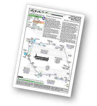
Route Summary:
White Coppice - Wheelton Moor - Withnell Moor - Great Hill - Redmonds Edge - Spitlers Edge - Horden Pasture - Lead Mines Clough - Anglezarke Reservoir - White Coppice

|
Vital Statistics:
| Length: | 3.75 miles (6 km) |
| Ascent: | 309ft (94m) |
| Time: | 1.75hrs |
| Grade: |  |
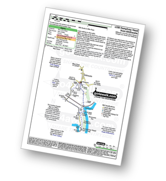
Route Summary:
Allithwaite - Wraysholme Tower - The Cumbria Coastal Way - Humphrey Head - Humphrey Head Wood - Wyke Farm - Kirkhead End - Allithwaite

|
Vital Statistics:
| Length: | 10.25 miles (16.5 km) |
| Ascent: | 1,375ft (419m) |
| Time: | 5.25hrs |
| Grade: | |
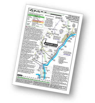
Route Summary:
Grange-over-Sands - Eggerslack Wood - Hampsfell - Fell End - High Fell Gate Farm - Allithwaite - Wraysholme Tower - The Cumbria Coastal Way - Humphrey Head - Humphrey Head Wood - Wyke Farm - Kirkhead End - Allithwaite - Kents Bank - Morecambe Bay - Grange-over-Sands

|
Vital Statistics:
| Length: | 6.5 miles (10.5 km) |
| Ascent: | 1,076ft (328m) |
| Time: | 3.75hrs |
| Grade: | |
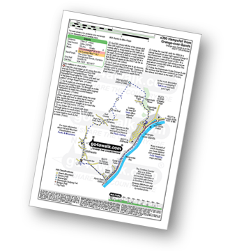
Route Summary:
Grange-over-Sands - Eggerslack Wood - Hampsfell - Fell End - High Fell Gate Farm - Allithwaite - The Cumbria Coastal Way - Kents Bank - Morecambe Bay - Grange-over-Sands

|
Vital Statistics:
| Length: | 8 miles (12.5 km) |
| Ascent: | 1,280ft (390m) |
| Time: | 4.25hrs |
| Grade: | |
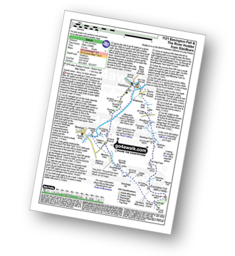
Route Summary:
Slaidburn - King Syke - Broadhead Farm - Easington Brook - Skelshaw Brook - Skelshaw Farm - Fell Side Farm - Harrop Fell - Easington Fell - Old Ned - Old Ned's Wife - Sadler Hill - Smelfthwaite Farm - Meanley Farm - Fowler's Laithe - Newton - River Hodder - Dunnow Hall - Dunnow Lodge - Slaidburn

|
Vital Statistics:
| Length: | 6.25 miles (10 km) |
| Ascent: | 879ft (268m) |
| Time: | 3.25hrs |
| Grade: | |

Route Summary:
Lower Rivington Reservoir - Rivington - Upper Rivington Reservoir - Pilkington Wood - Street Wood - Yarrow Reservoir - Bradley Wood - Anglezarke Reservoir - High Bullough Reservoir - John Meadow Wood - Heapey Waterman's Cottage - Grey Heights Wood - Heapey Fold Lane - Kays Farm - Waring Fram - Lane Ends (Adlington) - Upper Rivington Reservoir - Lower Rivington Reservoir
Not familiar with the area around FY6?
See these 30 nearest walks to UK Postcode FY6 on a google map

|
Vital Statistics:
| Length: | 11 miles (17.5 km) |
| Ascent: | 804ft (245m) |
| Time: | 4.75hrs |
| Grade: | |
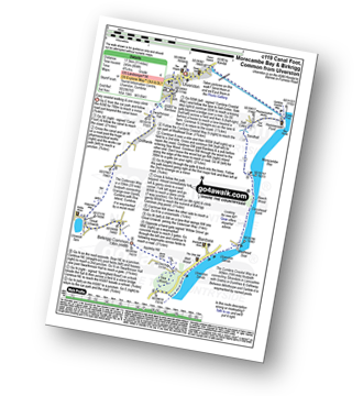
Route Summary:
Ulverston - Ulverston Canal - Canal Foot - The Cumbria Coastal Way - Hammerside Point - Salt Cotes - Sandhall - Beach Wood - Morecambe Bay - Conishead Bank - Wadhead Scar - Bardsea - Ulverston Sands - Sea Wood - Birkrigg Stone Circle - Birkrigg Common - Great Unswick - Urswick Tarn - The Cistercian Way - Croftlands - Swarthmoor Hall - Kilner Park - Levy Beck - Ulverston

|
Vital Statistics:
| Length: | 4.5 miles (7 km) |
| Ascent: | 893ft (272m) |
| Time: | 2½ hrs |
| Grade: | |

Route Summary:
Great House Information Centre - Rivington Hall - Rivington Cottage - Rivington Upper Barn - Pigeon Tower (Rivington Moor) - Rivington Pike - Brown Hill (Rivington Moor) - Higher Knoll - Rivington Lane Car Park - Lever Park - The Castle (Lower Rivington Reservoir) - Lower Rivington Reservoir - Great House Information Centre

|
Vital Statistics:
| Length: | 5.5 miles (8.5 km) |
| Ascent: | 1,113ft (339m) |
| Time: | 3.25hrs |
| Grade: | |
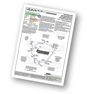
Route Summary:
Rivington Upper Barn - Pigeon Tower (Rivington Moor) - Catter Nab - Noon Hill Slack - Moor Bottom - Winter Hill (Rivington Moor) - Crooked Edge Hill - Two Lads (Rivington Moor) - Pike Cottage - Brown Hill (Rivington Moor) - Rivington Pike - Pigeon Tower (Rivington Moor) - Rivington Upper Barn

|
Vital Statistics:
| Length: | 8.75 miles (14 km) |
| Ascent: | 1,615ft (492m) |
| Time: | 5 hrs |
| Grade: | |

Route Summary:
Cross of Greet Bridge - Near Crosty Clough - Shooters' Huts - Far Costy Clough - White Hill (Forest of Bowland) - Botton Head Hill - Whitray Fell - Cross of Greet - Great Harlow - Raven's Castle - Crowd Stones - Catlow Fell (Ravens Castle) - Hailshowers Fell - Cold Stone - Copy Nook - Knottend Well - Crutchenber Fell (Bowland Knotts) - Pike Side - Catlow Farm - Kearsdon Holes - The River Hodder - Cross of Greet Bridge

|
Vital Statistics:
| Length: | 5.75 miles (9 km) |
| Ascent: | 1,113ft (339m) |
| Time: | 3.25hrs |
| Grade: | |

Route Summary:
Cross of Greet Bridge - Near Crosty Clough - Shooters' Huts - Far Costy Clough - White Hill (Forest of Bowland) - Botton Head Hill - Whitray Fell - Cross of Greet - Cross of Greet Bridge

|
Vital Statistics:
| Length: | 7 miles (11 km) |
| Ascent: | 1,224ft (373m) |
| Time: | 3.75hrs |
| Grade: | |
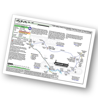
Route Summary:
Cross of Greet Bridge - The River Hodder - Cross of Greet - Great Harlow - Raven's Castle - Crowd Stones - Catlow Fell (Ravens Castle) - Hailshowers Fell - Cold Stone - Copy Nook - Knottend Well - Crutchenber Fell (Bowland Knotts) - Pike Side - Catlow Farm - Kearsdon Holes - The River Hodder - Cross of Greet Bridge

|
Vital Statistics:
| Length: | 3.75 miles (6 km) |
| Ascent: | 627ft (191m) |
| Time: | 2 hrs |
| Grade: | |
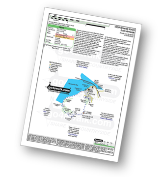
Route Summary:
Arnside (Morecambe Bay) - Red Hills Wood - Arnside Knott - Copridding Wood - Grubbins Wood - Morecambe Bay - The Cumbria Coastal Way - Arnside (Morecambe Bay)

|
Vital Statistics:
| Length: | 7.75 miles (12.5 km) |
| Ascent: | 1,536ft (468m) |
| Time: | 4½ hrs |
| Grade: | |
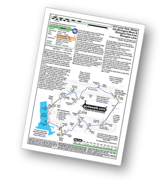
Route Summary:
Rivington Lane Car Park - Lever Park - The Castle (Lower Rivington Reservoir) - Lower Rivington Reservoir - Great House Information Centre - Rivington Hall - Rivington Cottage - Rivington Upper Barn - Pigeon Tower (Rivington Moor) - Catter Nab - Noon Hill Slack - Moor Bottom - Winter Hill (Rivington Moor) - Crooked Edge Hill - Two Lads (Rivington Moor) - Pike Cottage - Brown Hill (Rivington Moor) - Rivington Pike - Higher Knoll - Rivington Lane Car Park

|
Vital Statistics:
| Length: | 9 miles (14.5 km) |
| Ascent: | 1,132ft (345m) |
| Time: | 4½ hrs |
| Grade: | |
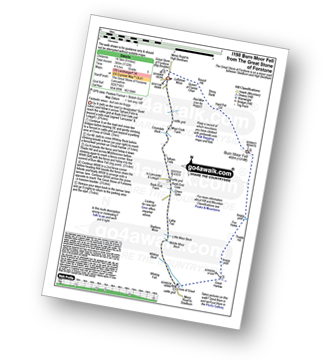
Route Summary:
The Great Stone of Forstone - Moor Cock Farm - Tatham Fells - Bank End Gate - Lyth Fell - Starkers Moor - Whitray Fell - Cross of Greet - Great Harlow - Raven's Castle - Crowd Stones - Thistley Hill - Thistle Hill - Tanstree Cragg - Burn Moor Fell - Hart Pot Gill - Stony Bank - Red Mire Queen of The Fairies Chair - Loftshaw Moss - The Great Stone of Forstone

|
Vital Statistics:
| Length: | 10.5 miles (16.5 km) |
| Ascent: | 1,697ft (499m) |
| Time: | 5½ hrs |
| Grade: | |
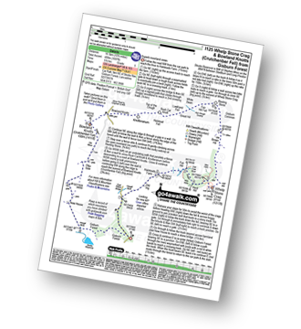
Route Summary:
Gisburn Forest - Halsteads Farm - Fair Hill - Herd Hill - Whelp Stone Crag - Brown Hill - Gisburn Common - Resting Stone - Ash Clough Swamp - Lawkland Fell - Rock Cat Knoll - Halstead Fell - Knotteranum - Crutchenber Fell (Bowland Knotts) - Pike Side - New House - Hasgill Beck - Stocks Reservoir - Gisburn Forest

|
Vital Statistics:
| Length: | 6.75 miles (11 km) |
| Ascent: | 1,243ft (379m) |
| Time: | 3.75hrs |
| Grade: | |
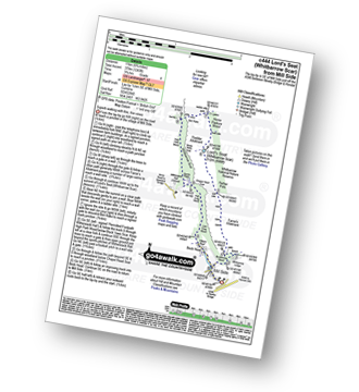
Route Summary:
Mill Side - Buckhouse Wood - Farrar's Allotment - Pether Pots. Whitbarrow National Nature Reserve - Lord's Seat (Whitbarrow Scar) - Flodder Allotment - Bell Rake - High Park Wood - Black Yew Scars - Witherslack Hall School - Chapel Head Scar - High Crag Wood - Low Crag Wood - Beck Head - Mill Side

|
Vital Statistics:
| Length: | 4 miles (6.5 km) |
| Ascent: | 417ft (127m) |
| Time: | 2 hrs |
| Grade: | |
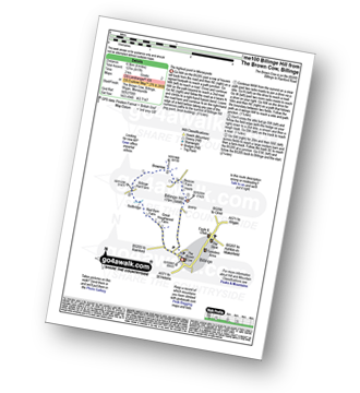
Route Summary:
Billinge - Billinge Hill - Beacon Farm - Brownlow - Billinge Hall Farm - Red Barn Farm - Great Houghwood Farm - Billinge

|
Vital Statistics:
| Length: | 7 miles (11 km) |
| Ascent: | 1,198ft (365m) |
| Time: | 3.75hrs |
| Grade: | |
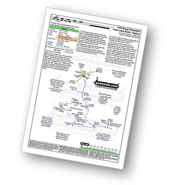
Route Summary:
Lane Ends - Hapton - The Burnley Way - Hameldon Hill - May Road Well - Great Hameldon - Hameldon Common - Hameldon Scouts - Lane Ends - Hapton.

|
Vital Statistics:
| Length: | 4.75 miles (7.5 km) |
| Ascent: | 945ft (288m) |
| Time: | 2.75hrs |
| Grade: | |

Route Summary:
Witherslack Hall School - Black Yews Scar - Flodder Allotment - Lord's Seat (Whitbarrow Scar) - Farrar's Allotment - Whitbarrow Scar - Buckhouse Wood - Beck Head (Witherslack) - Witherslack Hall School

|
Vital Statistics:
| Length: | 6 miles (9.5 km) |
| Ascent: | 699ft (213m) |
| Time: | 2.75hrs |
| Grade: | |
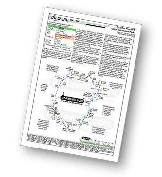
Route Summary:
Oxen Park - Furness - Abbot Park - Lord Ling - The Riggs - High Ickenthwaite - Low Ickenthwaite - Big Plantation - Glass Knott - The Syke - Rusland Cross - Rusland Hall - Rusland Moss Nature Reserve - Hulleter Moss - Low Hay Bridge Nature Reserve - Crooks Pastures - Black Knotts Plantation - Moss Wood - Oxen Park
Not familiar with the area around FY6?
See these 30 nearest walks to UK Postcode FY6 on a google map