Six easy to follow pub walks from The Old Bowling Green, Winster, The Peak District, Derbyshire, England
To reach The Old Bowling Green, Winster, in-car SatNav users should select the Latitude/Longitude (Lat Lon) screen and enter:
Lat = N53.14130 and Lon = W 1.6401
Not familiar with this pub?
Six easy to follow pub walks from The Old Bowling Green, Winster, The Peak District, Derbyshire, England
Scroll down the list of walks below & click on each walk title (in blue) to locate it on the map above.

   |
Vital Statistics:
| Length: | 8.5 miles (13.5 km) |
| Ascent: | 978ft (298m) |
| Time: | 4 hrs |
| Grade: |  |
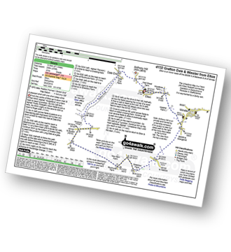
Route Summary:
Elton - Anthony Hill - Dale End (Elton) - Gratton Dale - Mouldridge Grange - Rockhurst Farm - Greenlow Farm - Winster - The Limestone Way - Elton


|
Vital Statistics:
| Length: | 5.75 miles (9 km) |
| Ascent: | 1,046ft (319m) |
| Time: | 3.25hrs |
| Grade: | |
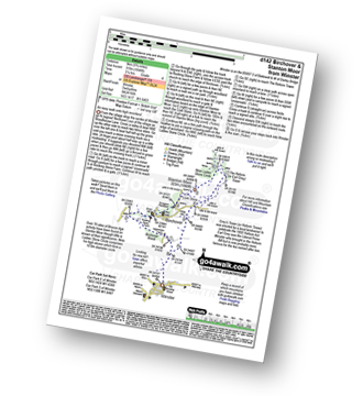
Route Summary:
Winster - Upper Town - Uppertown Farm - Rocking Stone Farm - Birchover - Stanton Moor - Cork Stone - Nine Ladies Stone Circle - The Reform Tower (or Earl Grey Tower) - Winster

|
Vital Statistics:
| Length: | 5.75 miles (9 km) |
| Ascent: | 1,217ft (371m) |
| Time: | 3.25hrs |
| Grade: | |
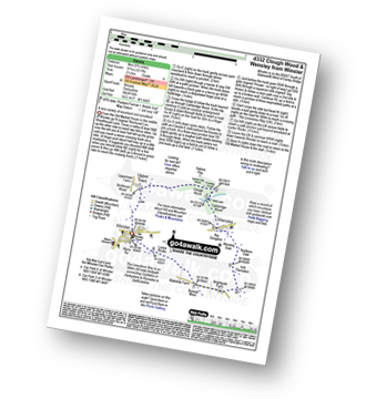
Route Summary:
Winster - Upper Town - Clough Wood - Sabine Hay Wood - Cowley Knowl - Cambridge Wood - Wensley - Big Dungeon - Wensley Dale - Northern Dale - Brightgate Farm - The Limestone Way - Luntor Rocks - Winster

|
Vital Statistics:
| Length: | 8.25 miles (13 km) |
| Ascent: | 1,358ft (414m) |
| Time: | 4½ hrs |
| Grade: |  |
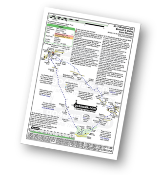
Route Summary:
Winster - Luntor Rocks - The Limestone Way - Blakelow Hill - Bonsall Moor - Upper Town - Bonsall - Slaley - Dunsley Springs - Bonsall Wood - Ible Wood - Whitelow Farm - Bonsall Moor - Wyns Tor - Winster

|
Vital Statistics:
| Length: | 8.75 miles (14 km) |
| Ascent: | 1,342ft (409m) |
| Time: | 4½ hrs |
| Grade: | |

Route Summary:
Winster - The Limestone Way - Westhill Farm - Robin Hood's Stride - Harthill Moor - Harthill Moor Wood - Bleakley Dike - River Bradford - Bradford Dale - Youlgreave - Mawstone Farm - Bleakley Plantation - Longshawe Wood - Anthony Hill - Elton - Sacheveral Farm - Winster

|
Vital Statistics:
| Length: | 12.75 miles (20.5 km) |
| Ascent: | 1,956ft (596m) |
| Time: | 6.75hrs |
| Grade: |  |
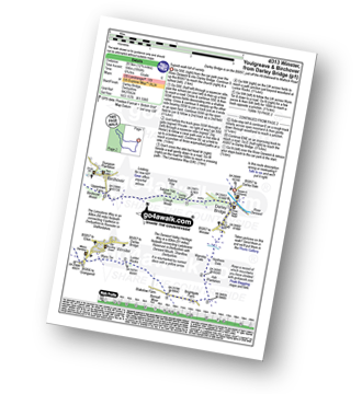
Route Summary:
Darley Bridge - Wensley Dale - Northern Dale - Ash Plantation - Brightgate Farm - Bonsall Moor - The Limestone Way - Luntor Rocks - Winster - Westhill Farm - Robin Hood's Stride - Harthill Moor - Harthill Moor Wood - Bleakley Dike - River Bradford - Bradford Dale - Youlgreave - Rhienstor Plantation - Greenfield Farm - Stoney Ley Wood - Rocking Stone Farm - Birchover - Uppertown Farm - Clough Wood - Sabine Hey Wood - Cowley Knowl - Darley Bridge