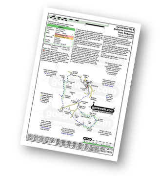
Two easy to follow pub walks from The Selborne Arms, Selborne, The South Downs, Hampshire, England
To reach The Selborne Arms, Selborne, in-car SatNav users should select the Latitude/Longitude (Lat Lon) screen and enter:
Lat = N51.09642 and Lon = W 0.94148
Tap/mouse over a coloured circle (1-3 easy walks, 4-6 moderate walks, 7-9 hard walks) and click to select.
Tap/mouse over a coloured circle (1-3 easy walks, 4-6 moderate walks, 7-9 hard walks) and click to select.
Two easy to follow pub walks from The Selborne Arms, Selborne, The South Downs, Hampshire, England
Scroll down the list of walks below & click on each walk title (in blue) to locate it on the map above.
   |
Vital Statistics:
| Length: | 5.5 miles (9 km) |
| Ascent: | 738ft (225m) |
| Time: | 2.75hrs |
| Grade: |  |
Route Summary:
Selborne - The Hangers Way - High Common - High Wood Hanger - Noar Hill - Noar Hill Hanger - Bridleway Wood - Selborne Common - Coneycroft Hill - Selborne
|
Vital Statistics:
| Length: | 7 miles (11 km) |
| Ascent: | 515ft (157m) |
| Time: | 3 hrs |
| Grade: | |

Route Summary:
Selborne - Dorton - Oakhanger Stream - Oakhanger - Binswood Farm - Shortheath - The Hangers Way - Pheasant Wood - Wick Hill Hanger - High Candovers - Wick Wood - Coombe Wood - Long Lyth - Selborne


