Bretton in the Peak District
Easy-to-follow, hand crafted, route maps for walks that start, or go through, Bretton in the Peak District
Details of refreshments, pubs & parking are included on each Bretton walk description.

   |
Vital Statistics:
| Length: | 7 miles (11 km) |
| Ascent: | 1,342 ft (409 m) |
| Time: | 3.75 hrs |
| Grade: |  |
Walk route map pdf
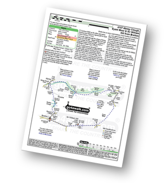
Detailed walk route map PDF
complete with GPS Waypoints
Route Summary:
Bretton - Bretton Clough - Cockey Farm - Abney - Abney Clough - Stoke Ford - Mill Wood - Highlow Brook - Tor Farm - Hazelford - Leam - Eyam Moor - Sir William Hill - Bretton


|
Vital Statistics:
| Length: | 6.25 miles (10 km) |
| Ascent: | 1,246 ft (380 m) |
| Time: | 3½ hrs |
| Grade: | |
Walk route map pdf
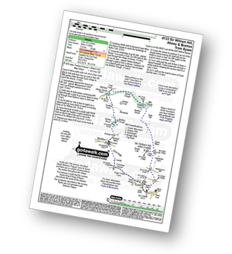
Detailed walk route map PDF
complete with GPS Waypoints
Route Summary:
Eyam - Sir William Hill - Eyam Moor - Bole Hill (Highlow) - Stoke Ford - Abney Clough - Abney - Cockey Farm - Bretton Clough - Bretton - Eyam

|
Vital Statistics:
| Length: | 7.5 miles (12.5 km) |
| Ascent: | 722 ft (220 m) |
| Time: | 3½ hrs |
| Grade: |  |
Walk route map pdf
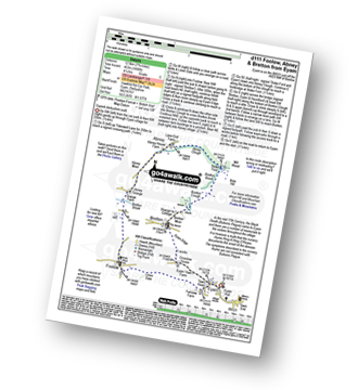
Detailed walk route map PDF
complete with GPS Waypoints
Route Summary:
Eyam - Town Head - Linen Dale - Foolow - Bretton Brook - Grange Farm - Abney Grange - Abney - Abney Clough - Stoke Ford - Bretton Brook - Bretton Clough - Bretton - Eyam Edge - Eyam

|
Vital Statistics:
| Length: | 9.75 miles (15.5 km) |
| Ascent: | 1,697 ft (517 m) |
| Time: | 5.25 hrs |
| Grade: |  |
Walk route map pdf
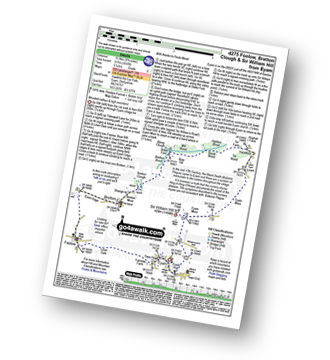
Detailed walk route map PDF
complete with GPS Waypoints
Route Summary:
Eyam - Foolow - Eyam Edge - Bretton - Bretton Clough - Abney Clough - Stoke Ford - Mill Wood - Brook Wood - Hazelford - Leam - Eyam Moor - Sir William Hill - Eyam

|
Vital Statistics:
| Length: | 12.75 miles (19 km) |
| Ascent: | 2,258 ft (688 m) |
| Time: | 6.75 hrs |
| Grade: |  |
Walk route map pdf
Detailed walk route map PDF
complete with GPS Waypoints
Route Summary:
Bradwell - Jennings Dale - Little Hucklow - Windmill - Great Hucklow - Bretton - Bretton Moor - Bretton Brook - Stoke Ford - Oaks Farm - Smelting Hill - Abney Moor - Burton Bole End (Abney Moor) - Wolf's Pit - Shatton Edge - Shatton Hope Valley - Townfield Barn - Elmore Hill Farm - Bothams Farm - Bradwell
See more easy-to-follow circular walks in the Peak District
See more easy-to-follow circular walks in Derbyshire